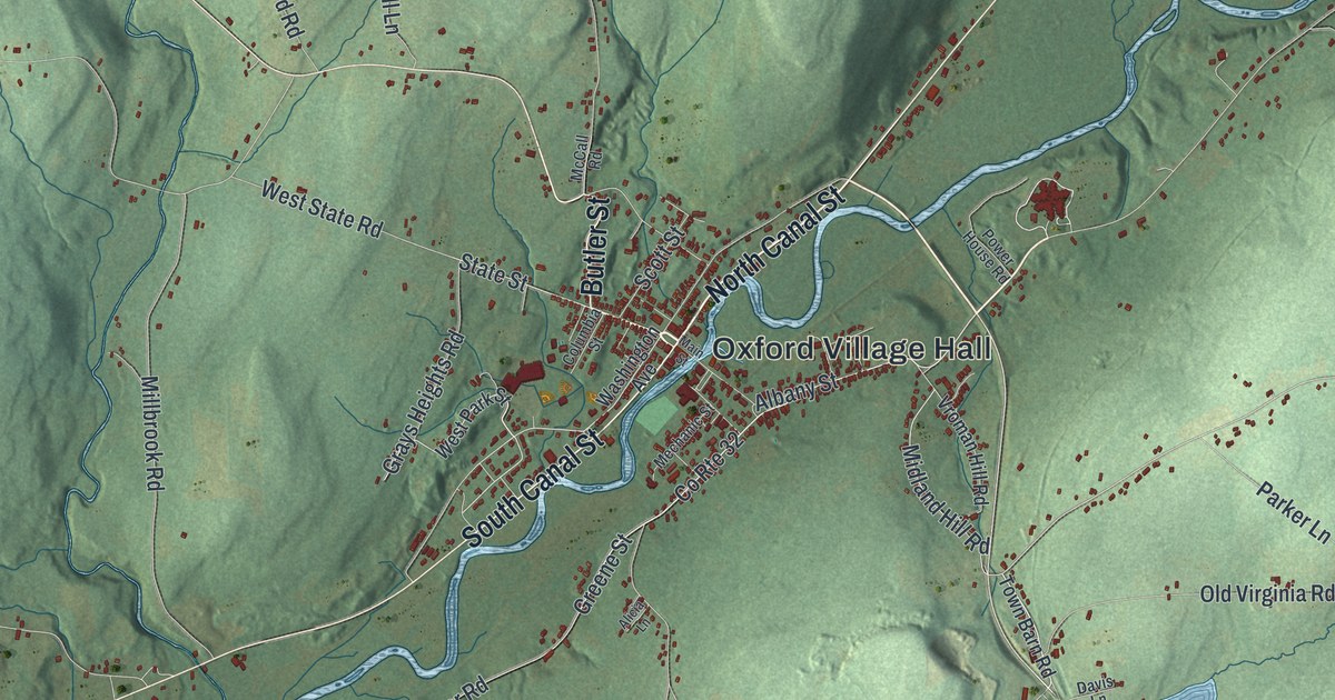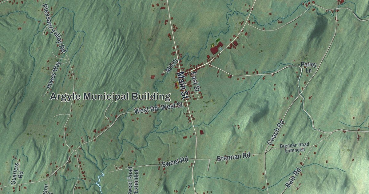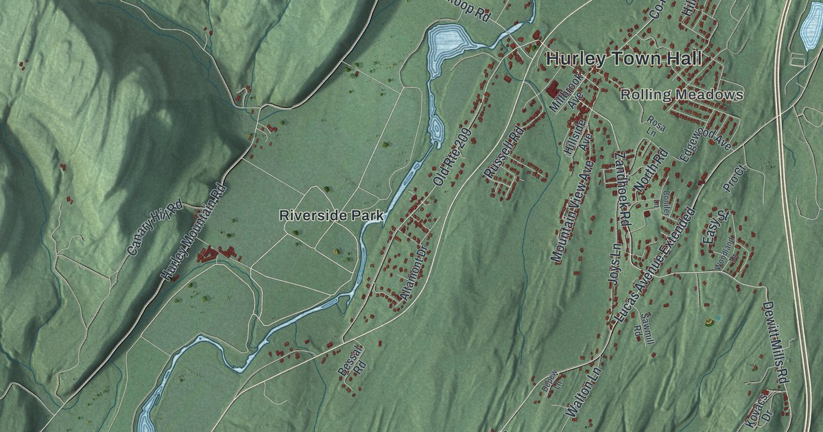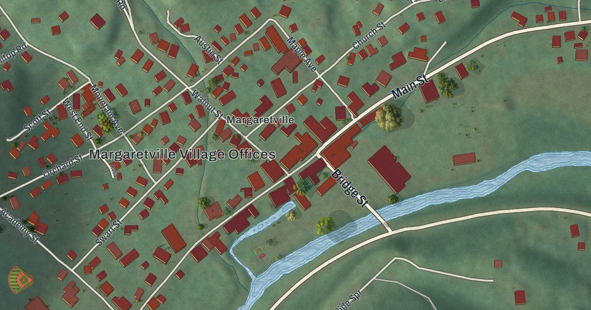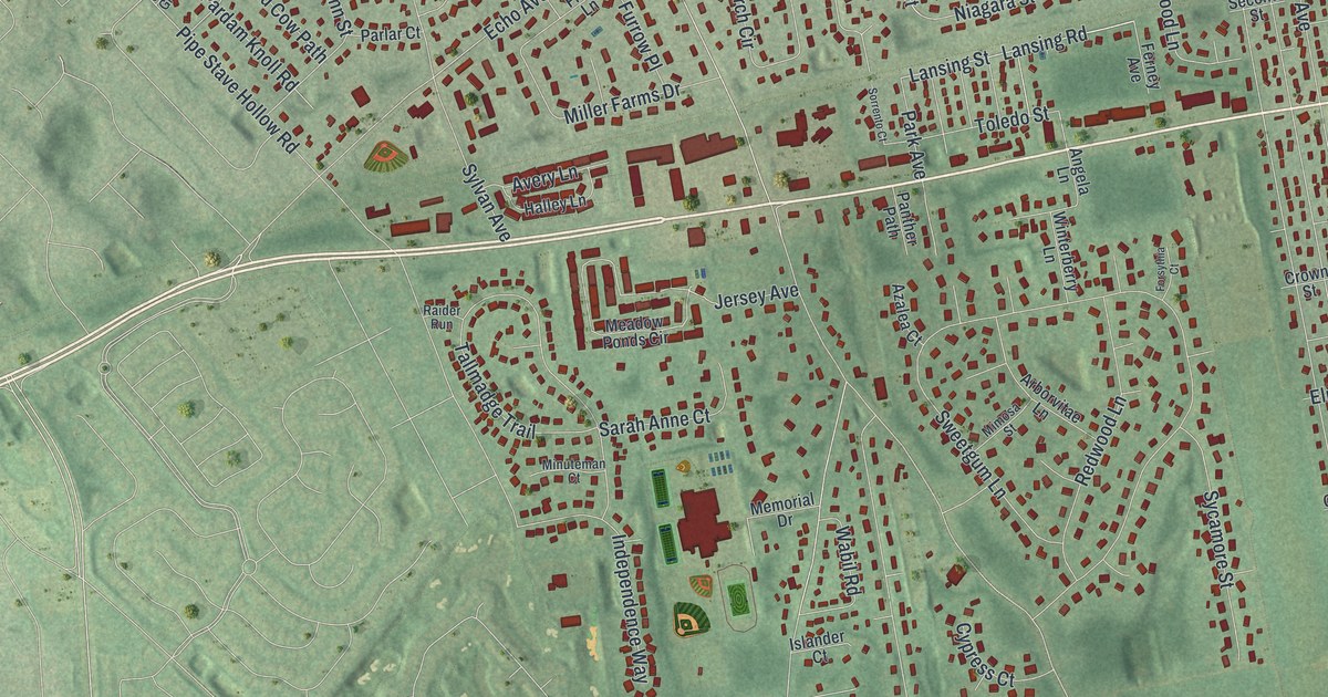
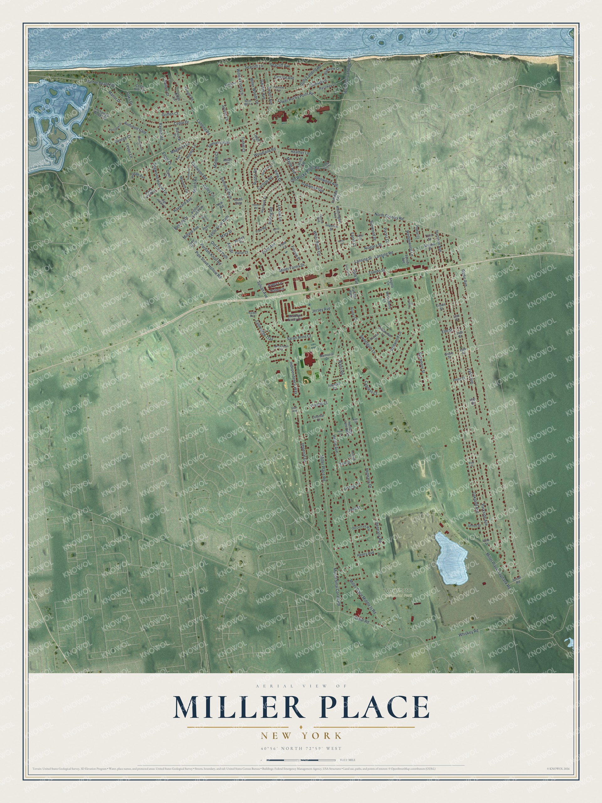
This beautifully detailed map of Miller Place, New York was created in 2026 using aerial imagery combined with modern topographical, census, street and landmark data. It's a modern aerial view of Miller Place in Suffolk County, New York, that combines modern data with a vintage aesthetic. The roads feature printed names, and if you look closely you can find your exact house accurately shown in its correct location.
Explore an aerial view of Miller Place, New York
On this map you'll find Washington Memorial Park, North Country Road, Lower Rocky Point Road, Samuels Path, Lansing Road, Garden Avenue, Lansing Street, Pipe Stave Hollow Road, Miller Place-Yaphank Road, Miller Place Road, Radio Avenue, Parkside Avenue, and more. Each red shape is a building, so zoom in on the preview and look for yours.
Miller Place has a story worth telling. Miller Place was named for its first permanent settler, Andrew Miller, and took that name around 1700. Roads then were known by where they led, so the way from Setauket was the road to Andrew Miller's Place. Over time the Andrew and the possessive were dropped, leaving Miller Place. In 1979 the old center along North Country Road, from the William Miller House to the Reverend Ezra King House, became a historic district. That's from the Miller Place-Mount Sinai Historical Society.
Miller Place is a community in Suffolk County. The Census Bureau counted 11,723 people here in 2020.
Take a closer look at the Miller Place map
Names on this map
These names are printed on this map.
Places: Washington Memorial Park.
Streets and roads: North Country Road, Lower Rocky Point Road, Samuels Path, Lansing Road, Garden Avenue, Lansing Street, Pipe Stave Hollow Road, Miller Place-Yaphank Road, Miller Place Road, Radio Avenue, Parkside Avenue, Oakland Avenue.
More street names, A to Z
13th Street, 14th Street, 15th Street, 18th Street, Alilah Court, Angela Lane, Ann Street, Arborvitae Lane, Audrey Street, Audubon Gate, Avery Lane, Azalea Court, Beach Road, Berry Lane, Beverly Drive, Bluffview Court, Canal Road, Carlisle Road, Cedar Drive, Cedar Grove, Cedar Hill Terrace, Central Avenue, Central Boulevard, Cliffview Court, Colonial Court, Crown Street, Cypress Court, Dogwood Hollow Lane, Earl Street, Eastwood Road, Echo Avenue, Elm Street, Enchanted Woods Court, Engel Court, Fairview Avenue, Farah Court, Ferndale Avenue, Ferney Avenue, Field Lane, Forsythia Court, Furrow Place, George Court, Glenwood Avenue, Griffen Court, Grist Mill Lane, Grove Street, Gully Landing Road, Halley Lane, Hancock Place, Harbor Beach Road, Harrison Avenue, Hayward Avenue, Heather Lane, Helme Avenue, Hemlock Drive, Henearly Drive, Henearly Road, Henry Avenue, Heritage Lane, Heritage Lane North, High Hollow Lane, Hilldale Avenue, Honey Lane, Honey Lane West, Huron Court, Imperial Drive, Independence Way, Irving Street, Islander Court, Jane Street, Janet Court, Jersey Avenue, Joan Court, Jonah Road, Kettle Knoll Path, Kim Street, Landing Road, Laurel Hill Road, Levon Lane, Liberty Lane, Locust Avenue, Locust Lane, Lodge Lane, Macbeth Circle, Magnolia Lane, Manor Drive, Maple Avenue, Maple Lane, Mary Street, Meadow Ponds Circle, Memorial Drive, Middle Court, Millard Avenue, Miller Farms Drive, Miller Place Middle Is Road, Miller Woods Drive, Mimosa Street, Minuteman Court, Mount Sinai Coram Road, New Road, Niagara Street, Oaks Drive, Oakwood Avenue, Old Cow Path, Old Orchard Way, Old Rocky Point Road, Panther Path, Pardam Knoll Road, Park Avenue, Parlar Court, Partridge Court, Parviz Court, Passway Lane, Pine Street, Poplar Court, Prechtl Court, Pringle Road, Quiet Court, Raider Run, Ravine Road, Redwood Lane, Ridge Lane, Rocky Point Road, Rolling Road, Rustic Road, Ruxton Road, Ryan Lane, Sailors Court, Samules Path, Sarah Anne Court, Seacliff Avenue, Seacliff Lane, Second Street, Siefert Avenue, Sorrento Court, South Gate, Southwood Drive, Stratford Road, Sunset Lane, Sunwood Drive, Superior Street, Sweetgum Lane, Sycamore Street, Sylvan Avenue, Sylvan Lane, Tallmadge Trail, Third Street, Toledo Street, Tree Road, Tuthill Court, Tyler Avenue, Union Street, Utah Avenue, Valley Circle, Victory Knoll Path, View Drive, Vine Street, Wabil Road, Washington Avenue, Wedgewood Lane, Whiskey Road, White Birch Circle, Willow Pond Lane, Winterberry Lane, Woodhull Landing Road, Woodland Road, Woodthrush Court.
See it on a wall
The Miller Place map as a framed print. Swipe for more.


Created by KNOWOL in 2026. The buildings are small red shapes, the roads carry their printed names, and shaded relief shows the shape of the land. The title panel reads "AERIAL VIEW OF MILLER PLACE, NEW YORK" with 40°56' NORTH 72°59' WEST.
It looks right in a kitchen, an office or a den, and it's a gift for anyone who grew up in Miller Place or moved away. Open the preview and find your street. See sizes and frames for the Miller Place map.