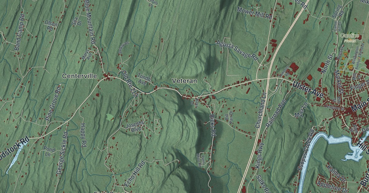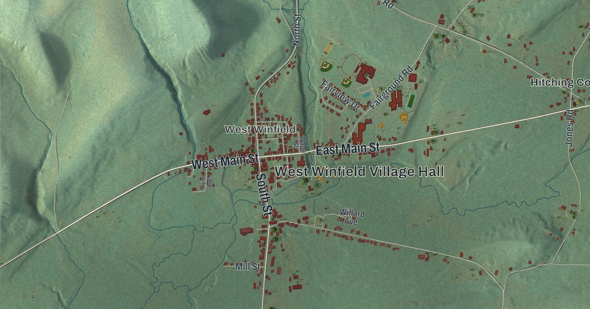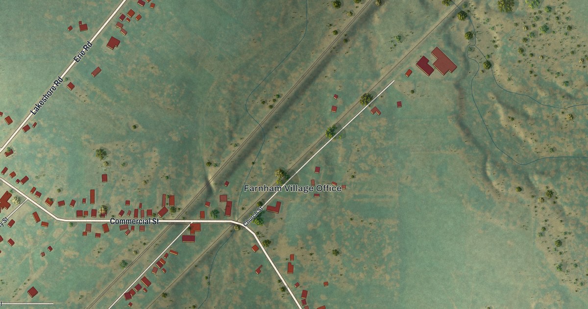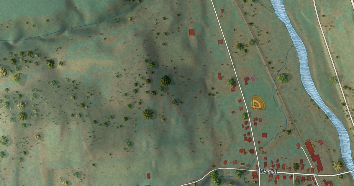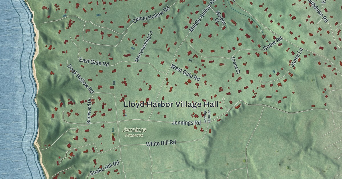
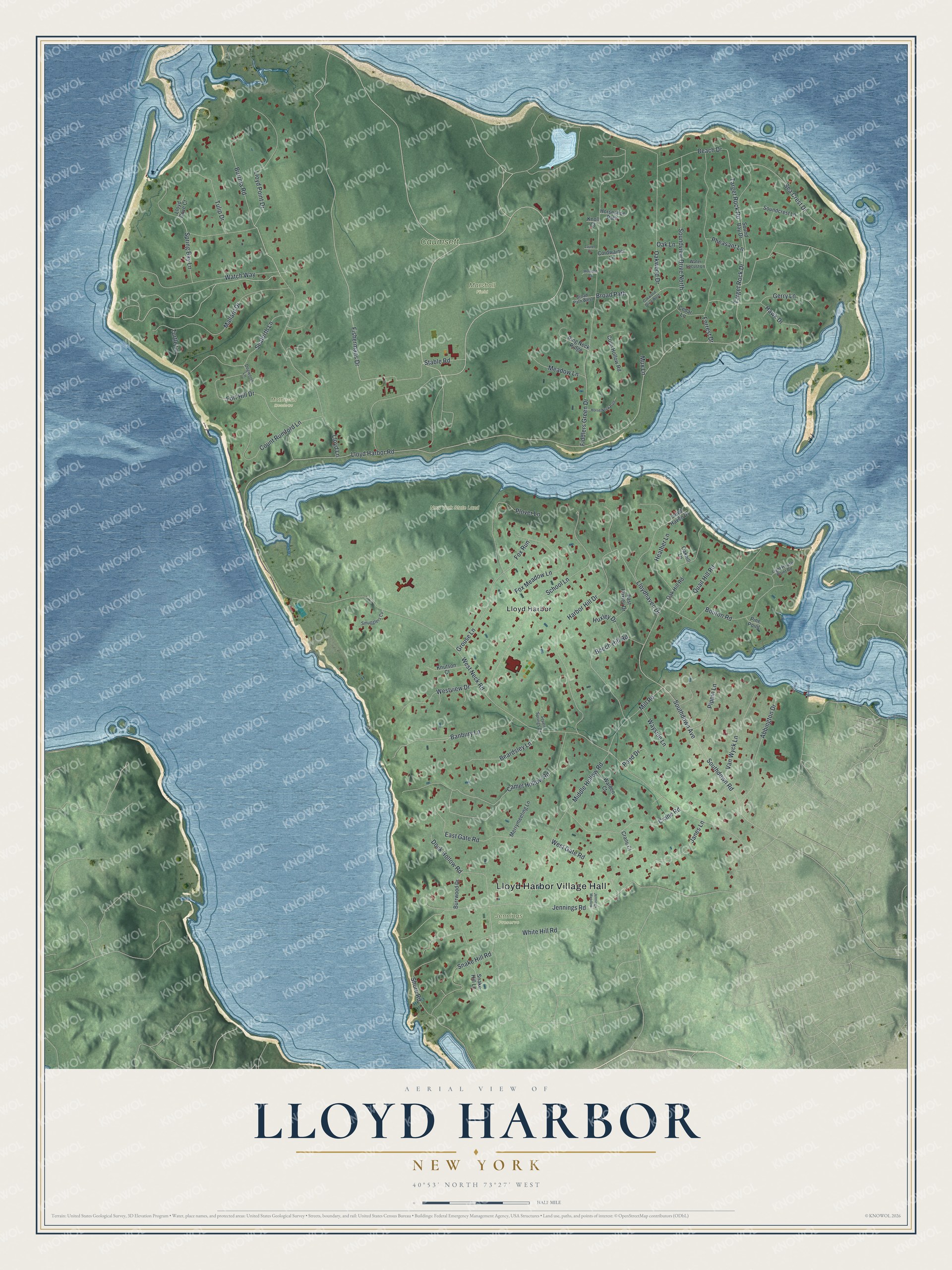
This beautifully detailed map of Lloyd Harbor, New York was created in 2026 using aerial imagery combined with modern topographical, census, street and landmark data. It’s a one-of-a-kind view of Lloyd Harbor that combines accurate data with a vintage aesthetic. The map shows every building in its true location, many of the roads carry their names, and the shaded topographic relief shows the shape of the land.
Explore an aerial view of Lloyd Harbor, New York
On the map you’ll find Lloyd Harbor Village Hall and Jennings Preserve, along with Lloyd Lane, Fishermans Drive, Lloyd Harbor Road, Harbor Hill Drive, and more. If you look closely you can even find your house accurately drawn in its correct location. Zoom in on the preview to look for yours.
Did You Know?
The Matinecock called this neck Caumsett, meaning place by sharp rock. James Lloyd acquired the neck in 1676, and his son Henry farmed it. Henry’s son Joseph built the Joseph Lloyd Manor House. The British forced him to leave it during the Revolutionary War and built forts on the neck.
Take a closer look at the Lloyd Harbor map
Names on this map
These names are printed on this map.
Places: Lloyd Harbor Village Hall, Caumsett, Jennings Preserve, Marshall Field, Matheson Meadows, New York State Land and Lloyd Harbor.
Streets and roads: Lloyd Lane, Fishermans Drive, Lloyd Harbor Road, Harbor Hill Drive, Camel Hollow Road, Jennings Road, West Neck Road, Southdown Road, Fiddlers Green Drive, School Lane, Southdown Avenue, Soundview Drive North.
More street names, A to Z
Abbington Drive, Banbury Lane, Beach Drive, Beardsley Lane, Beech Hill Road, Bouton Road, Broad Path, Broad Path West, Burrma Road, Burrwood Drive, Cedar Lane, Coon Hollow Road, Cordwainer Lane, Count Rumford Lane, Crane Court, Crane Road, Dock Hollow Road, Dogwood Lane, East Gate Road, East Huxley Drive, Forrest Drive, Fort Hill Drive, Fox Meadow Lane, Fox Run, Gerry Lane, Grouse Lane, Hawk Drive, Heather Lane, Horse Neck Path, Horseshoe Path, Huxley Drive, Janes Lane, Jennings Meadow, Knoll Court, Knutson Court, Laurel Court, Light House Point Road, Lloyd Cove Court, Lloydhaven Drive, Lloyd Haven Drive, Lloyd Point Drive, Mallard Drive, Meadow Lane, Merrymeeting Lane, Middle Hollow Road, Mill Road, Mux Lane, Oakhill Lane, Oak Hill Road, Oak Lane, Oakwood Drive, Oakwood Drive West, Pheasant Lane, Pine Point, Pippin Lane, Plover Lane, Pond Drive, Quail Hill Road, Ring Neck Ridge, Sea Crest Drive, Seaforth Lane, Seven Springs Court, Shore Road, Smugglers Cv, Snake Hill Lane, Snake Hill Road, Sound Bay Drive, Soundcrest Lane, Spring Bay Lane, Stable Road, Target Rock Drive, Target Rock Road, Tulip Drive, Turtle Lane, Van Wyck Lane, Walden Court, Watch Way, Water Locust Lane, Wayside Lane, West Gate Road, Westview Drive, White Hill Road, Wooded Court.
See it on a wall
The Lloyd Harbor map as a framed print. Swipe for more.


This beautifully detailed map of Lloyd Harbor makes an attractive addition to your office, library, or den, and it can even be used to teach children the geography and history of the area. It also makes a great gift for anyone who grew up in Lloyd Harbor or moved away. When you’re done exploring, click here to get your copy of the Lloyd Harbor map.