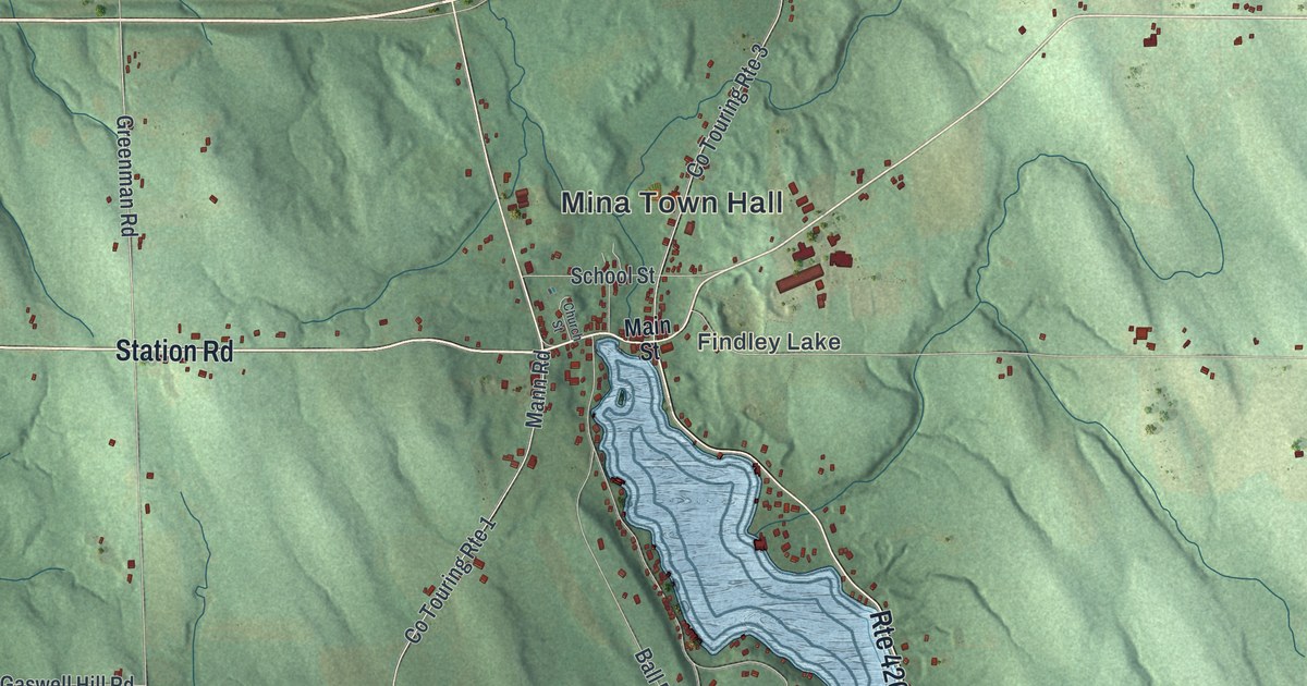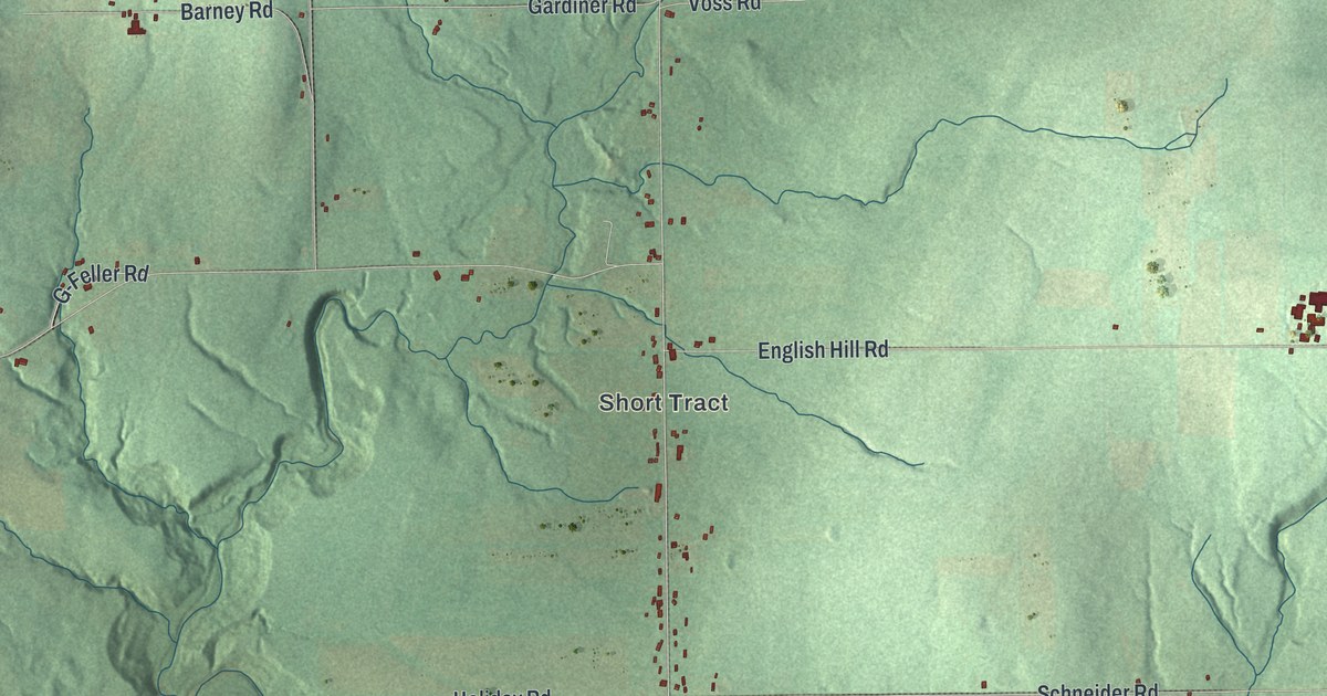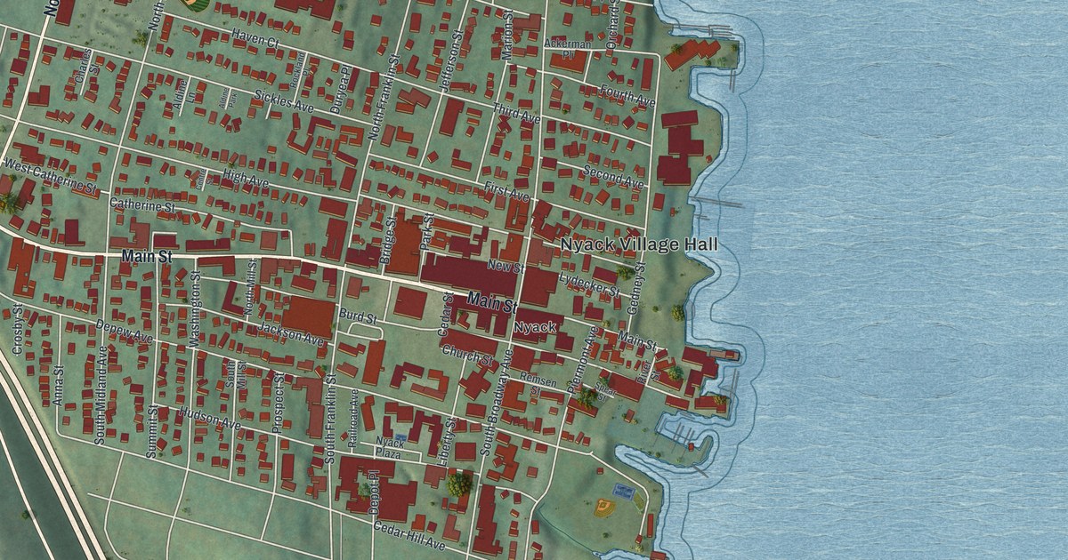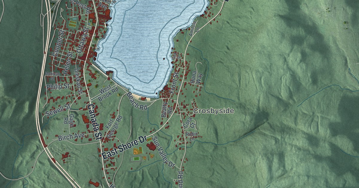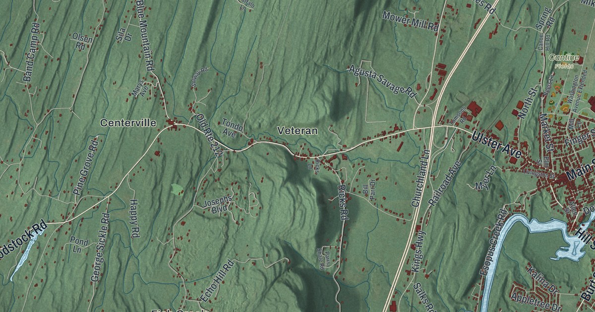
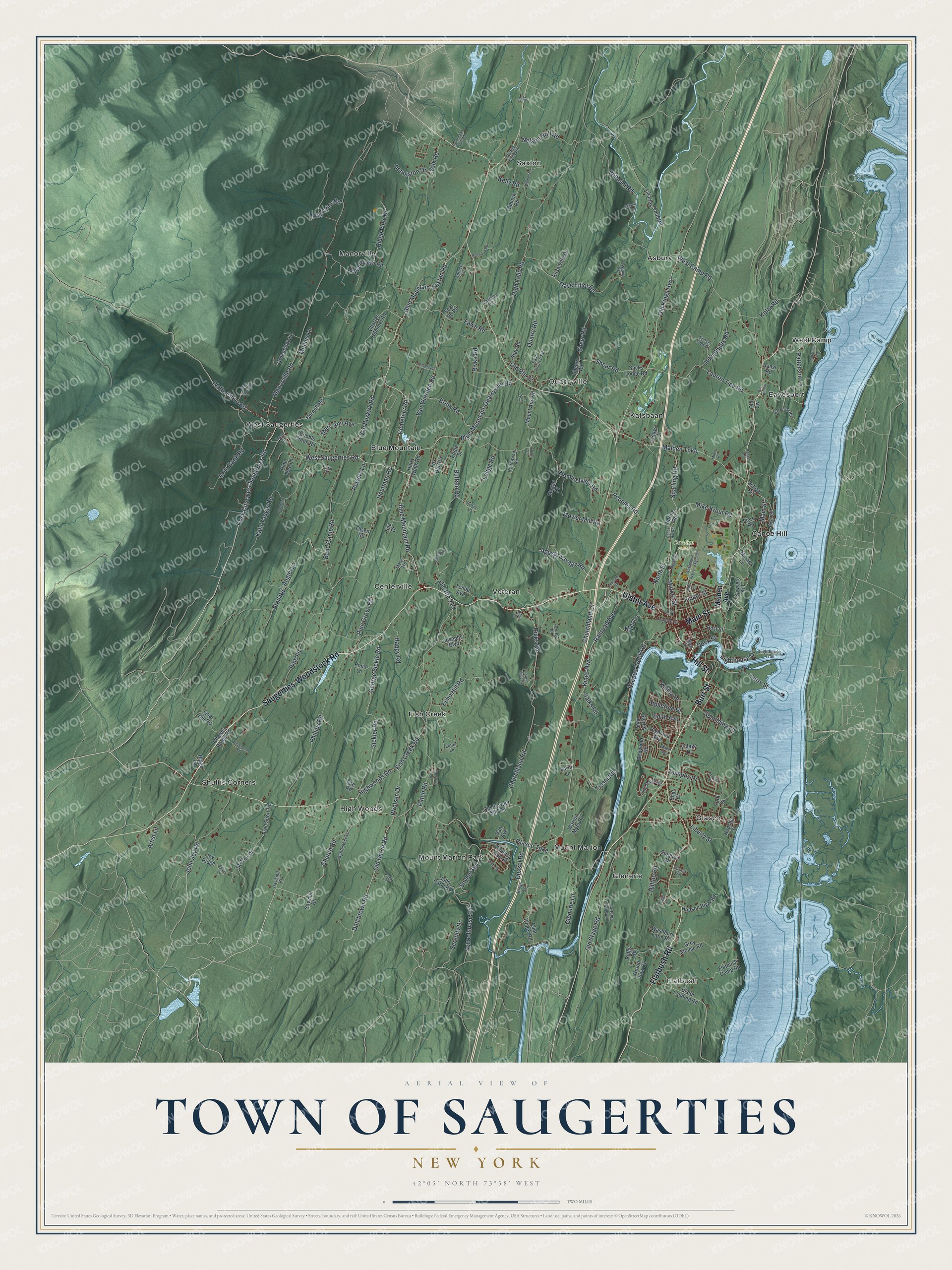
This beautifully detailed map of the Town of Saugerties, New York was created in 2026 using aerial imagery combined with modern topographical, census, street and landmark data. It’s a one-of-a-kind view of the Town of Saugerties that combines accurate data with a vintage aesthetic. The map shows every building in its true location, many of the roads carry their names, and the shaded topographic relief shows the shape of the land.
Explore an aerial view of the Town of Saugerties, New York
On the map you’ll find Flatbush, Asbury, Blue Mountain, Canoe Hill, and Centerville, along with Hill Street, Main Street, Saugerties-Woodstock Road, Flatbush Road, Ulster Avenue, and more. If you look closely you can even find your house accurately drawn in its correct location. Zoom in on the preview to look for yours.
Did You Know?
Barent Cornelis Volge cut lumber here in the 1650s. His mill stood on the Sawyer’s Kill and served the Rensselaerswick manor. Three hundred Palatine German families arrived in October 1710 and camped on both banks of the Hudson. Their West Camp sits within this town. Britain had sent them to produce naval stores for its fleet.
Take a closer look at the Town of Saugerties map
Names on this map
These names are printed on this map.
Places: Flatbush, Cantine Fields, Asbury, Blue Mountain, Canoe Hill, Centerville, Eavesport, Fish Creek, Glasco, Glenerie, High Woods, Katsbaan, Manorville, Mount Marion, Mount Marion Park, Quarryville, Saxton, Shultis Corners, Veteran, West Camp and West Saugerties.
Streets and roads: Hill Street, Main Street, Saugerties-Woodstock Road, Flatbush Road, Ulster Avenue, Burt Street, Glasco Turnpike, Blue Mountain Road, Church Road, Blue Mountain-Saxton Road, Cemetery Road, Rock City-West Saugerties Road.
More street names, A to Z
Agusta Savage Road, Allen Street, Angiel Lane, Appletree Drive, Artist Lane, Asbury Est, Augustine Road, Bach Road, Band Camp Road, Beers Lane, Bellwood Road, Benzal Road, Bill Parr Drive, Blue-Mountain-Quarryville Road, Brink Road, Buffalo Lane, Buffalo Road, Burnett Road, Canoe Hill Road, Charles Hommel Road, Charles Rothe Road, Charles Smith Road, Churchland Lane, Churchland Road, Clint Finger Road, Cobble Creek Road, Codys Court, Cole Bank Road, Country Club Drive, Craft Lane, Cranberry Lane, Dave Elliot Road, Deerhaven Lane, Denniston Drive, Dock Street, Drummond Falls Road, Dussol Road, Dutchtown Road, East Church Road, Ebel Court, Echo Hill Road, Eddie Street, Edith Avenue, Elisa Villa Drive, Elm Street, Emerick Road, Esopus Creek Road, Estate Drive, Farm Lane, Fawn Road, Ferry Street, Fiero Road, Finger Street, Fish Creek Road, Fite Road, Flatbush Camp Road, Fortune Valley Lane, Fox Den Road, Fred Short Road, George Saile Road, George Sickle Road, Glenerie Lane, Goat Hill Road, Grand View Circle, Greenridge Lane, Grey Mouse Road, Hanzl Road, Happy Road, Harry Wells Road, Harvest Way, Haviland Court, High Falls Road, Highland Avenue, Highwoods Road, Hilltop Road, Hommelville Road, Houtman Road, Hudson River Road, Hudson Street, Hughes Road, John Carle Road, John Joy Road, John Shults Road, Josephs Boulevard, Josephs Drive, Joy Ridge, Kalina Drive, Kate Yaeger Road, Kelly Road, Kings Highway, Kings Lane, Kolar Road, Lancelot Drive, Laura Lane, Laurel Lane, Lauren Tice Road, Liberty Street, Lighthouse Drive, Lighthouse Trail, Livingston Street, Lodge Road, Lotus Lane, Malden Avenue, Malden Turnpike, Manor Avenue, Manorville Road, Market Street, Mary Ann Avenue, Marys Avenue, Mayfield Ests, Megan Drive, Mike Krout Road, Mill Lane, Minard Lane, Moon Road, Mount Airy Road, Mower Mill Road, Mullins Lane, Myer Lane, Myrtle Alice Lane, Nelson Hoff Road, North Street, Northwoods Road, Oak Road, Old Dutch Road, Old Kings Highway, Old Patch Road, Old Powder Mill Road, Old Route 32, Old Route 212, Old Stage Road, Olsen Road, Park Place, Parrs Shale Road, Patch Road, Patterson Lane, Patterson Road, Peoples Road, Phillips Road, Pine Grove Road, Pine Lane, Pine Tree Lane, Platt Clove Terrace, Platte Clove Road, Pond Lane, Post Street, Powers Lane, Quarry Road, Railroad Avenue, Ralph Vedder Road, Red Maple Road, Redwood Road, Ricks Lane, Ricks Road, Ridge Lane, Ridge Road, Ridge View Drive, River Road, Rivka Road, Sacks Lodge Road, Salks Road, Sawmill Road, Sawyer Kill, Scal Bo Road, Schoolhouse Road, School Road, Serenity Drive, Shear Road, Sheer Road, Sheers Road, Sickler Road, Sila Drive, Snyder Road, Solway Road, South Road, Spara Drive, Sparling Road, Spaulding Lane, Spring Road, Spruce Lane, Spurck Road, Starjem Drive, Stay Road, Stephen Drive, Sterley Avenue, Stoll Road, Sunset View Drive, Tissal Road, Tomsons Road, Tondo Avenue, Ulster Landing Road, Valk Road, Van Avenue, Van Buskirk Road, Van Vlierden Road, Village Drive, Warren Myer Road, Washburn Farm Road, Washington Avenue Extended, Wegebauer Road, West Camp Road, West Saugerties Road, Wilhelm Road, Wilson Lane, Wrolsen Drive, York Street.
See it on a wall
The Saugerties map as a framed print. Swipe for more.


This beautifully detailed map of the Town of Saugerties makes an attractive addition to your office, library, or den, and it can even be used to teach children the geography and history of the area. It also makes a great gift for anyone who grew up in the Town of Saugerties or moved away. When you’re done exploring, click here to get your copy of the Town of Saugerties map.