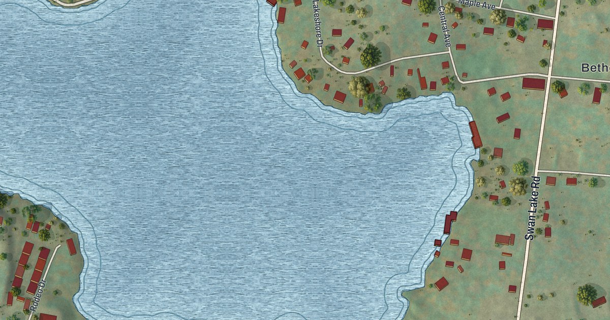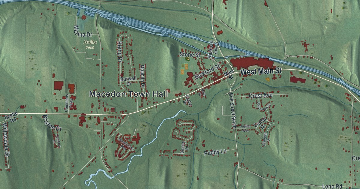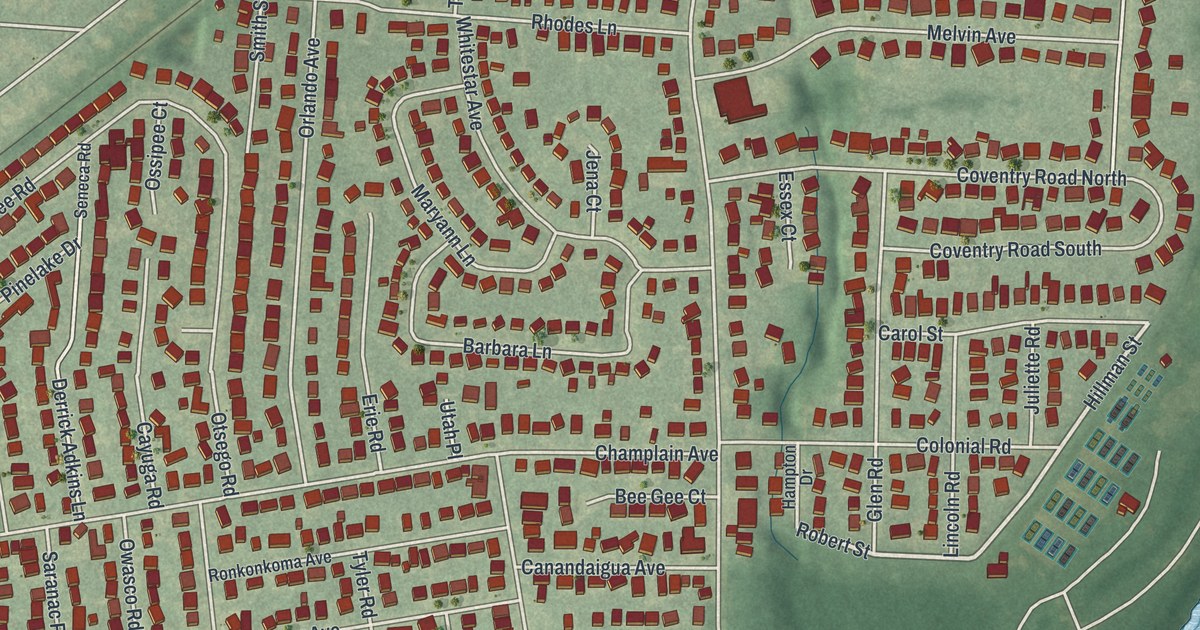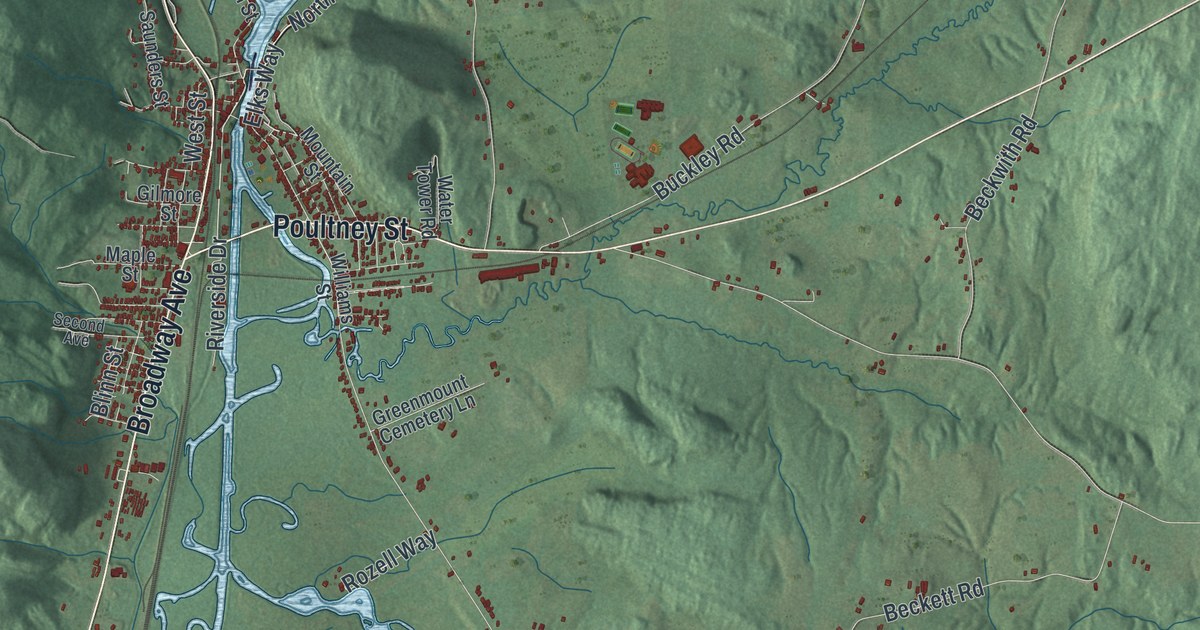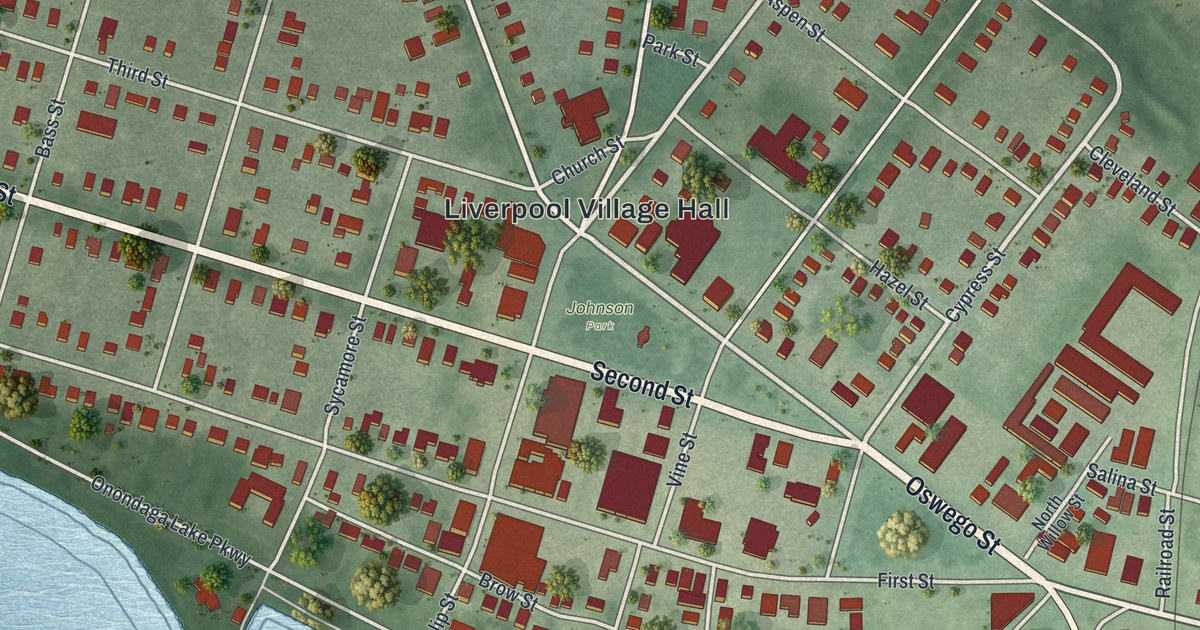
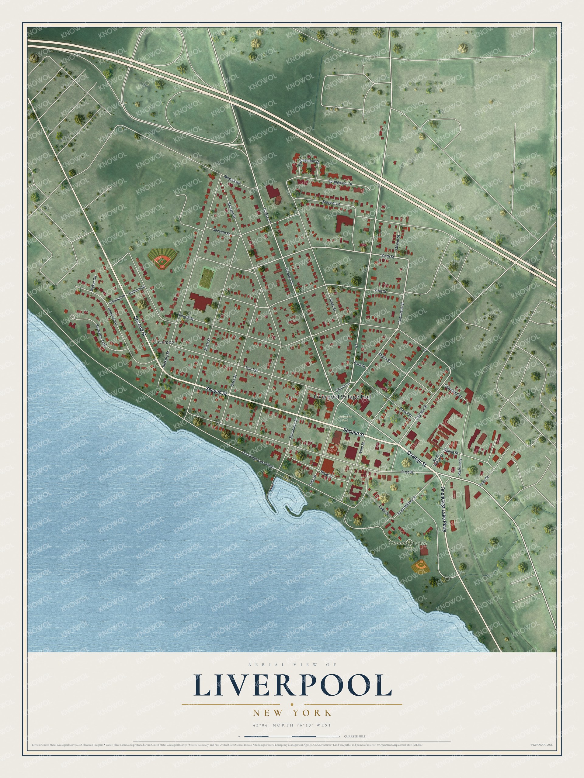
This beautifully detailed map of Liverpool, New York was created in 2026 using aerial imagery combined with modern topographical, census, street and landmark data. It’s a one-of-a-kind view of Liverpool that combines accurate data with a vintage aesthetic. The map shows every building in its true location, many of the roads carry their names, and the shaded topographic relief shows the shape of the land.
Explore an aerial view of Liverpool, New York
On the map you’ll find Liverpool Village Hall, Onondaga Lake Park, and Johnson Park, along with Oswego Street, Second Street, Onondaga Lake Parkway, Tamarack Street, and more. If you look closely you can even find your house accurately drawn in its correct location. Zoom in on the preview to look for yours.
Did You Know?
After the Erie and Oswego canals were built, Irish canal workers settled here, along with Yankee settlers. The early name for the place was Little Ireland. The state surveyor general laid out the streets and changed the name to Liverpool. The village was incorporated on April 20, 1830.
Take a closer look at the Liverpool map
Names on this map
These names are printed on this map.
Places: Liverpool Village Hall, Onondaga Lake Park, Johnson Park and Liverpool.
Streets and roads: Oswego Street, Second Street, Onondaga Lake Parkway, Tamarack Street, Cypress Street, Sixth Street, Tulip Street, Fourth Street, Balsam Street, First Street, County Route 57, Hickory Street.
More street names, A to Z
Alder Street, Aspen Street, Bass Street, Birch Street, Brow Street, Church Street, Cleveland Street, Council Place, Fifth Street, Foxmeadow Drive, Hazel Street, Hiawatha Trail, Iroquois Lane, Lake Drive, Melvin Street, Meyers Road, North Willow Street, Outlook Street, Park Street, Pearl Street, Railroad Street, Salina Street, Sargent Lane, Seventh Street, South Willow Street, Springmoor Drive, Sycamore Street, Third Street, Vine Street, Wyker Circle.
See it on a wall
The Liverpool map as a framed print. Swipe for more.


This beautifully detailed map of Liverpool makes an attractive addition to your office, library, or den, and it can even be used to teach children the geography and history of the area. It also makes a great gift for anyone with Liverpool roots. When you’re done exploring, click here to get your copy of the Liverpool map.