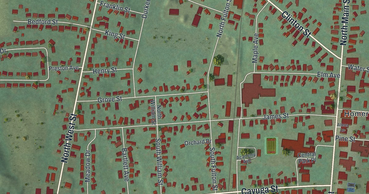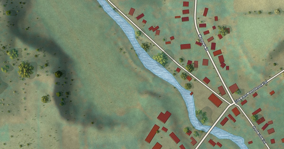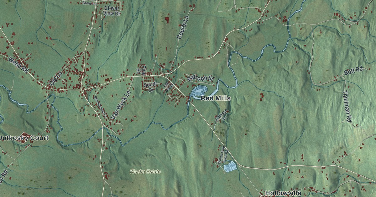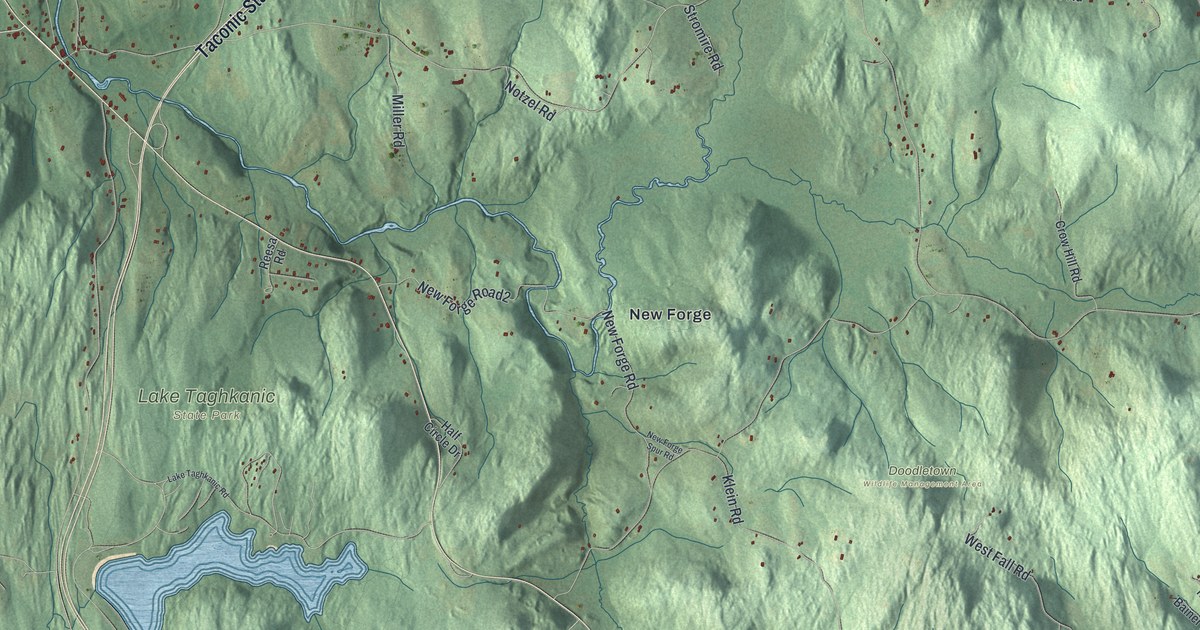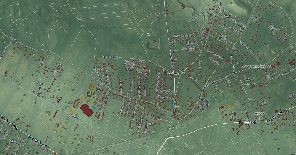
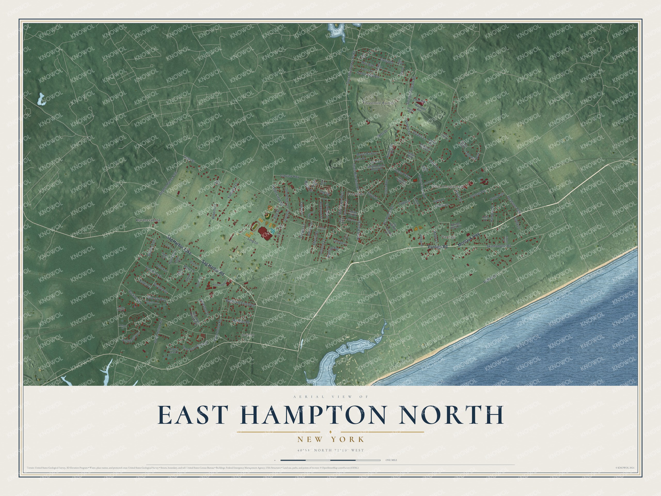
This beautifully detailed map of East Hampton North, New York was created in 2026 using aerial imagery combined with modern topographical, census, street and landmark data. It's a modern aerial view of East Hampton North in Suffolk County, New York, that combines modern data with a vintage aesthetic. The roads feature printed names, and if you look closely you can find your exact house accurately shown in its correct location.
Explore an aerial view of East Hampton North, New York
On this map you'll find Pantigo, Threemile Harbor, West Amagansett, Jericho, Hardscrabble, Freetown, Pantigo Road, Montauk Highway, Sag Harbor Road, Sag Harbor Turnpike, Further Lane, Skimhampton Road, and more. Each red shape is a building, so zoom in on the preview and look for yours.
Here is a piece of East Hampton North history. The Freetown neighborhood got its name because it was settled by people who had been enslaved by wealthy local families. In the late 1800s Arthur Benson, who owned and developed much of Montauk, offered Montaukett families deeds to plots in Freetown to get them to leave their traditional tribal lands. George Fowler's saltbox house, moved to Freetown around 1890, was believed to be the only surviving 19th century home of a Montaukett, and it was slated to become a town landmark. That's from the East Hampton Star.
East Hampton North is a community in Suffolk County. The Census Bureau counted 5,377 people here in 2020.
Take a closer look at the East Hampton North map
Names on this map
These names are printed on this map.
Places: Pantigo, Threemile Harbor, West Amagansett, Jericho, Hardscrabble and Freetown.
Streets and roads: Pantigo Road, Montauk Highway, Sag Harbor Road, Sag Harbor Turnpike, Further Lane, Skimhampton Road, North Main Street, Three Mile Bend Road, Spring Close Highway, Three Mile Harbor Hc Road, Cross Highway, Abrahams Path.
More street names, A to Z
Accabonac Road, Addie Conklin Lane, Amagansett Drive East, Anvil Court, Atwell Street, Austin Road, Banks Court, Barsdis Lane, Bayview Avenue, Blue Jay Way, Boxwood Street, Bristol Street, Buckskill Road, Buell Lane Extended, Cedar Court, Cedar Street, Central Avenue, Clover Leaf Lane, Cooper Lane, Cove Hollow Road, Covey Lane, Crystal Drive, Cutter Court, Dayton Avenue, Dominy Lane, Dune Alpin Drive North, Dune Alpin Drive South, Eileens Path, Farm Lane, Fetlock Drive, Fieldview Lane, Floyd Street, Gordon Street, Gould Street, Green Hollow Road, Hampton Place, Hands Creek Road, Handy Lane, Harbor View Avenue, Hardscrabble Court, Harness Lane, Hedgerow Lane, High Street, Holly Place, Horseshoe Drive, Huckleberry Lane, Hump Path, Huntting Avenue, Indian Hill Road, Inkberry Street, Irma Court, Issacs Path, Kopka Court, Lauras Lane, Learned Hands Court, Lily Hill Road, Livery Lane, Long Lane, Mane Lane, Maple Lane, Maryland Avenue, Miller Lane Court, Miller Lane East, Miller Lane West, Miller Terrace, Morris Park Lane, Muir Boulevard, Mystic Street, Neighborhood House Drive, Oak Square, Oak Street, Oakview Highway, Ocean Boulevard, Ocean Parkway, Ohio Avenue, Old Hedges Lane, Osborne Lane, Palma Terrace, Pantigo Place, Park Lane, Pine Street, Potters Lane, Queens Lane, Roberts Lane, Royal Street, Sally Court, Saw Mill Lane, Second Avenue, Seventh Avenue, Sherrill Road, Springs Close Lane, Springs Fireplace Road, Squires Path, Stephen Hands Path, Stirrup Court, Stokes Court, Stuart's Lane, Sulky Circle, Sunset Lane, Surrey Court, Talkhouse Walk, Talmage Lane, Thomas Avenue, Towhee Trail, Town Lane, Virginia Avenue, Wagon Lane, Warwick Road, Washington Avenue, West Drive, Windmill Village Lane, Wireless Road, Yew Street.
See it on a wall
The East Hampton North map as a framed print. Swipe for more.


Created by KNOWOL in 2026. The buildings are small red shapes, the roads carry their printed names, and shaded relief shows the shape of the land. The title panel reads "AERIAL VIEW OF EAST HAMPTON NORTH, NEW YORK" with 40°58' NORTH 72°10' WEST.
It suits a den, a classroom or a front hall, and it makes a gift for anyone with East Hampton North roots. Open the preview and find the block you know. See sizes and frames for the East Hampton North map.