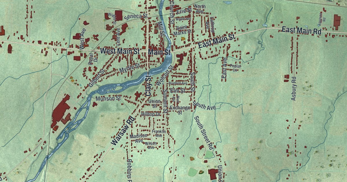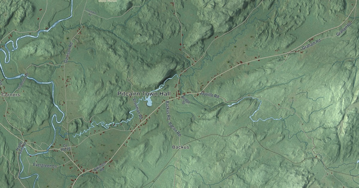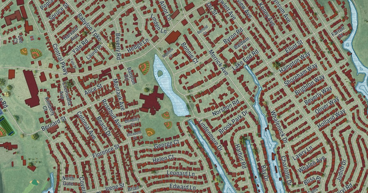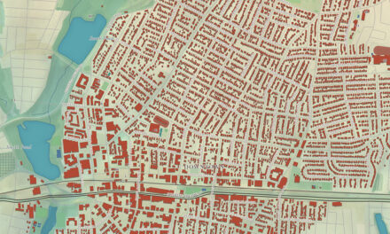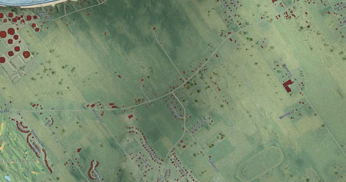
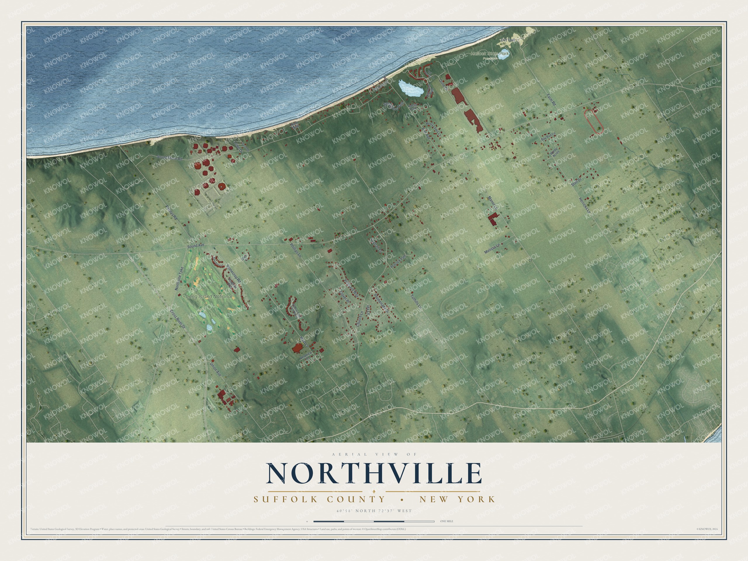
This beautifully detailed map of Northville, New York was created in 2026 using aerial imagery combined with modern topographical, census, street and landmark data. It's a modern aerial view of Northville in Suffolk County, New York, that combines modern data with a vintage aesthetic. The roads feature printed names, and if you look closely you can find your exact house accurately shown in its correct location.
Explore an aerial view of Northville, New York
On this map you'll find Hallock State Park Preserve, Long Island National, Sound Avenue, Sound Shore Road, West Lane, Cross River Drive, Church Lane, Pennys Road, Dune Drive, Manor Lane, Phillips Lane, Herricks Lane, and more. Each red shape is a building, so zoom in on the preview and look for yours.
Here is a piece of Northville history. The Hallock Homestead, now the Hallockville Museum Farm, was built in 1765 by Ruben Brown. In 1801 Captain Zachariah Hallock bought the sixty-acre farm for his son, whose family lived there until 1979, and so many Hallock descendants lived along Sound Avenue that locals called the area Hallockville. Today the museum farm preserves and teaches the history of farming on the North Fork of Long Island. That's from the New York Heritage digital library.
Northville is a community in Suffolk County. The Census Bureau counted 1,566 people here in 2020.
Take a closer look at the Northville map
Names on this map
These names are printed on this map.
Places: Hallock State Park Preserve and Long Island National.
Streets and roads: Sound Avenue, Sound Shore Road, West Lane, Cross River Drive, Church Lane, Pennys Road, Dune Drive, Manor Lane, Phillips Lane, Herricks Lane, Pier Avenue, Stonecrop Road.
More street names, A to Z
Adelia Path, Bayberry Lane, Bay Run Lane, Big Pond Path, Chris Court, Clover Place, Dirt Trail, Farm Road, Foxglove Row, Foxtrail Court, Henry Lewis Lane, Ida Lane, Lowe Drive, Melissa Lane, Northville Turnpike, North Walk, Peacock Path, Promenade Drive, Smugglers Path, Sound Drive, Stoll Drive, Summer Field Lane North, Tall Tree Circle, Tuthills Lane, Union Avenue, Veronica Lane, Vineyard Way, Wake Robin Lane, Windy Acres.
See it on a wall
The Northville, Suffolk County map as a framed print. Swipe for more.


Created by KNOWOL in 2026. The buildings are small red shapes, the roads carry their printed names, and shaded relief shows the shape of the land. The title panel reads "AERIAL VIEW OF NORTHVILLE, SUFFOLK COUNTY • NEW YORK" with 40°58' NORTH 72°37' WEST.
It suits a den, a classroom or a front hall, and it makes a gift for anyone with Northville roots. Open the preview and find the block you know. See sizes and frames for the Northville, Suffolk County map.