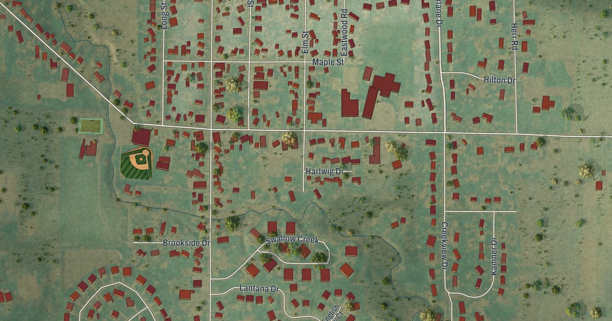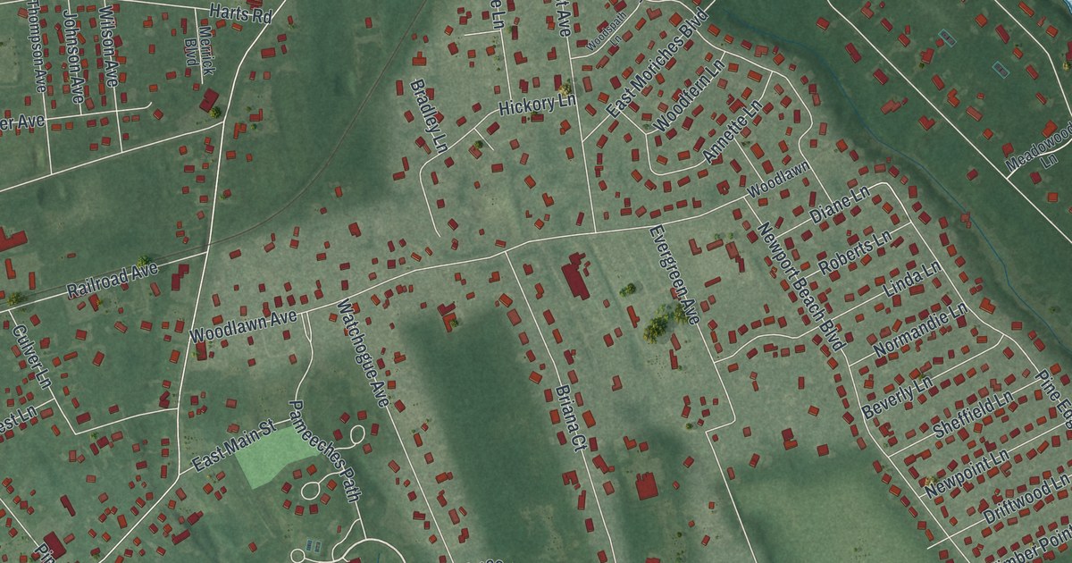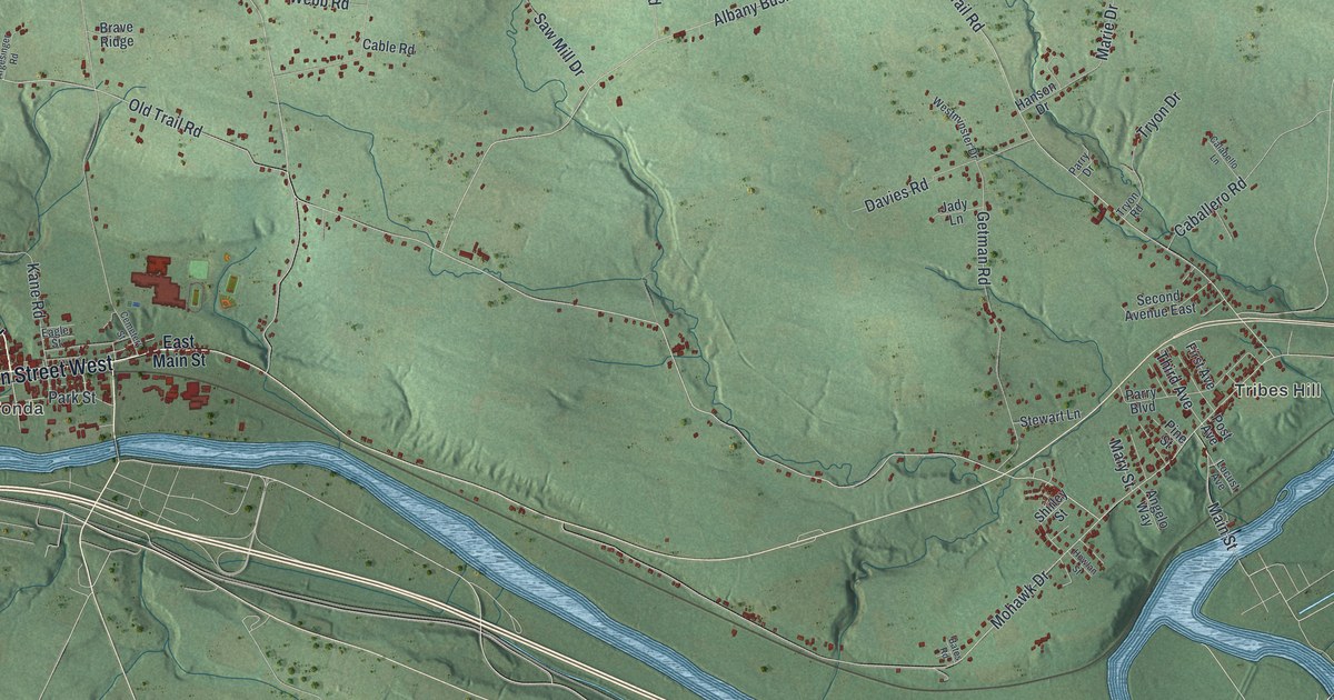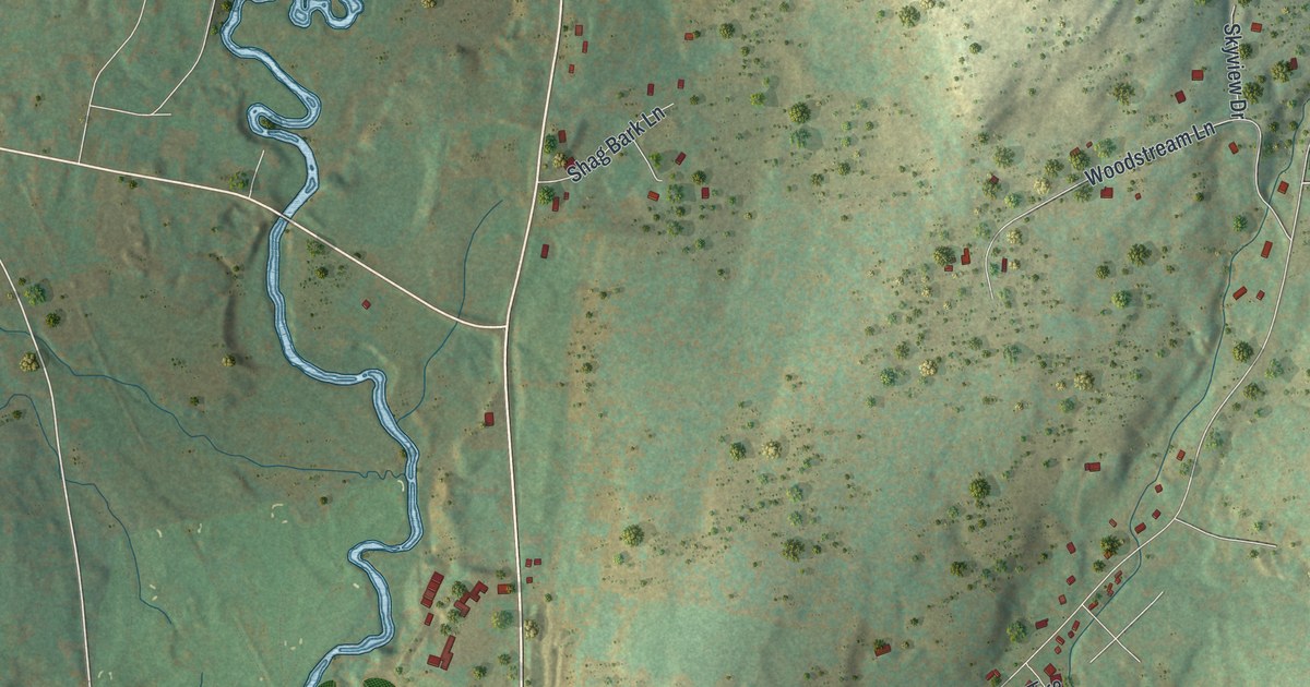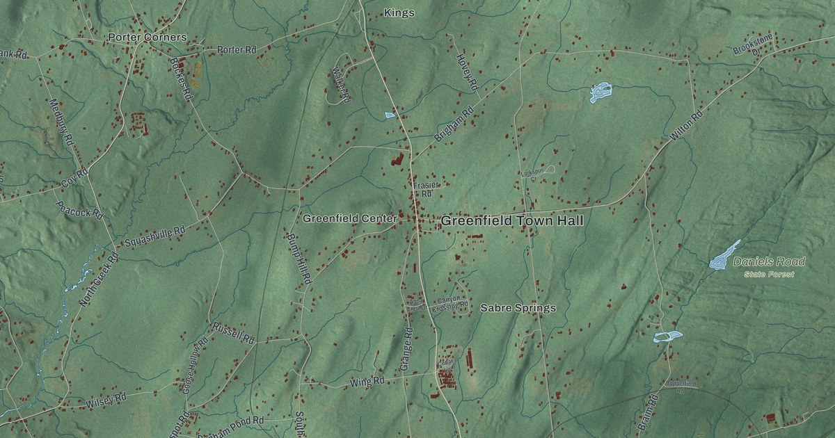
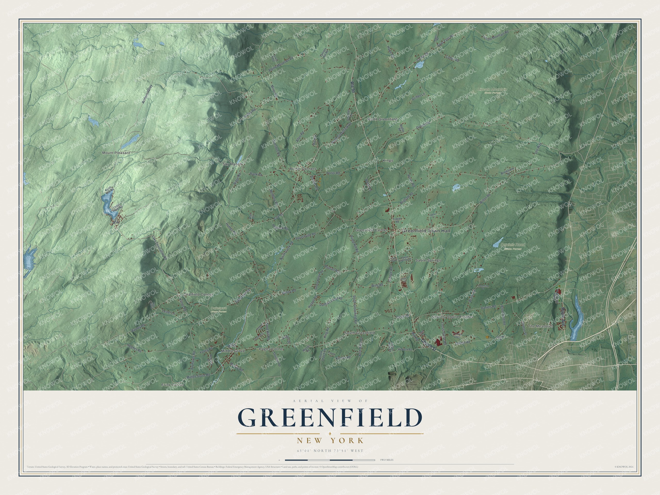
This beautifully detailed map of Greenfield, New York was created in 2026 using aerial imagery combined with modern topographical, census, street and landmark data. It’s a one-of-a-kind view of Greenfield that combines accurate data with a vintage aesthetic. The map shows every building in its true location, many of the roads carry their names, and the shaded topographic relief shows the shape of the land.
Explore an aerial view of Greenfield, New York
On the map you’ll find Greenfield Town Hall, The Meadows, Mount Pleasant, Frink Corner, Chatfield Corner, Greenfield Center, Daketown State Forest, Daniels Road State Forest, and Lincoln Mountain State Forest, along with Church Street, Maple Avenue, Lake Desolation Road, Creek Road, and more. If you look closely you can even find your house accurately drawn in its correct location. Zoom in on the preview to look for yours.
Did You Know?
Settlers first came to Greenfield around 1786. The town was formed in 1793 from parts of Milton and Saratoga. It was named after Greenfield, New Hampshire. Today it covers more land than any other town in Saratoga County.
Take a closer look at the Greenfield map
Names on this map
These names are printed on this map.
Places: Greenfield Town Hall, The Meadows, Mount Pleasant, Frink Corner, Daketown State Forest, Daniels Road State Forest, Lincoln Mountain State Forest, Chatfield Corner, Country Squire Estates, Greenfield Center, Kings, Middle Grove, North Greenfield, Pages Corner, Porter Corners, Sabre Springs, Sky Ranch and South Greenfield.
Streets and roads: Church Street, Maple Avenue, Lake Desolation Road, North Creek Road, North Greenfield Road, Spier Falls Road, County Route 25, Kilmer Road, Middle Grove Road, Locust Grove Road, Ormsbee Road, Greene Road.
More street names, A to Z
Acer Drive, Allen Road, Alpine Meadows Road, Angel Road, Anna Crest Drive, Archers Valley, Ashlor Drive, Ballou Road, Barney Road, Bloomfield Road, Bockes Road, Boyhaven Road, Braim Road, Brandell Lane, Brigham Road, Brookstone Drive, Bump Hill Road, Canty Road, Canyon Crossing Road, Cedar Lane, Chandler Lane, Clinton Street, Cohen Road, Copperfield Road, Coy Road, Daketown Road, Daniels Road, Denton Road, Dunham Pond Road, Forest Point Road, Frasier Road, Glen Mitchell Road, Goose Hollow Road, Grange Road, Griffen Lane, Hemlock Drive, Hickock Road, High Trek Drive, Hovey Road, Howe Road, Hughes Road, Humes Road, Hyspot Road, King Road, Kircher Road, Lanie Drive, Larkspur Court, Lester Lane, Lester Park Road, Lincoln Mountain Road, Main Street, Malloy Road, Medbury Road, Mia Way, Mill Road, Mill Street, Miner Road, Moore Road, Murray Road, North End Road, North Milton Road, Peacock Road, Plank Road, Porter Road, Prestwick Chase, Rebecca Drive, Ridge Road, Russell Road, Sand Hill Road, Seward Street, Sodeman Road, South Greenfield Road, Southwest, Squashville Road, Stone Church Road, Tannery Hill Road, Turkey Ridge, Ure Way, Walker Road, Wilsey Road, Wilton Road, Wing Road, Young Road.
See it on a wall
The Greenfield map as a framed print. Swipe for more.


This beautifully detailed map of Greenfield makes an attractive addition to your office, library, or den, and it can even be used to teach children the geography and history of the area. It also makes a great gift for anyone who grew up in Greenfield or moved away. When you’re done exploring, click here to get your copy of the Greenfield map.