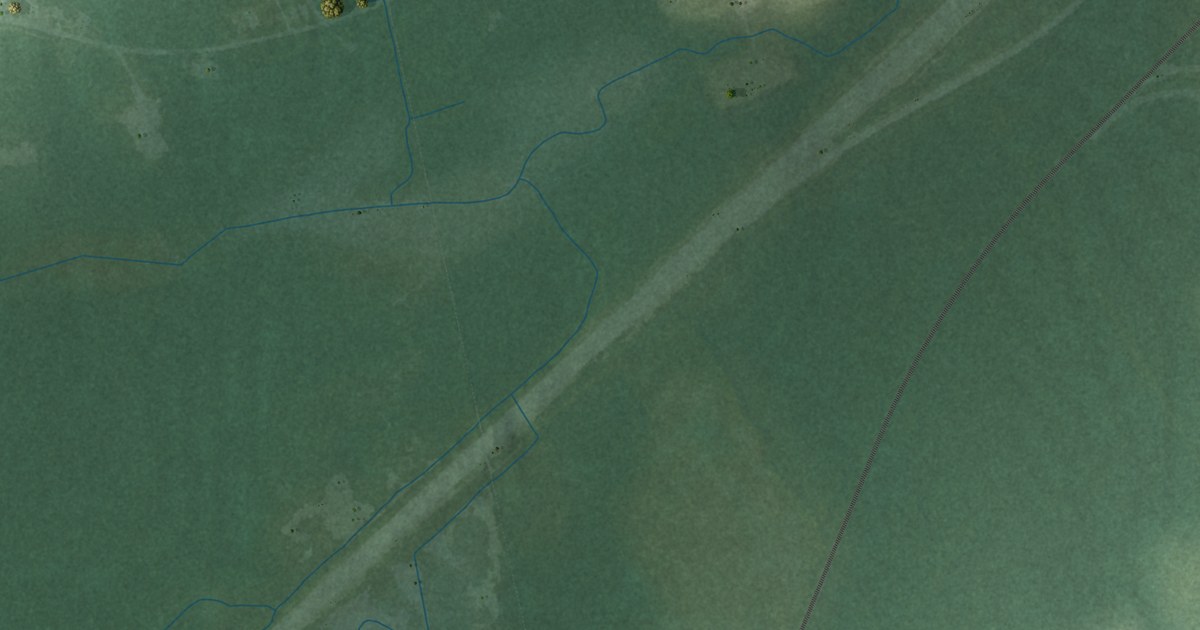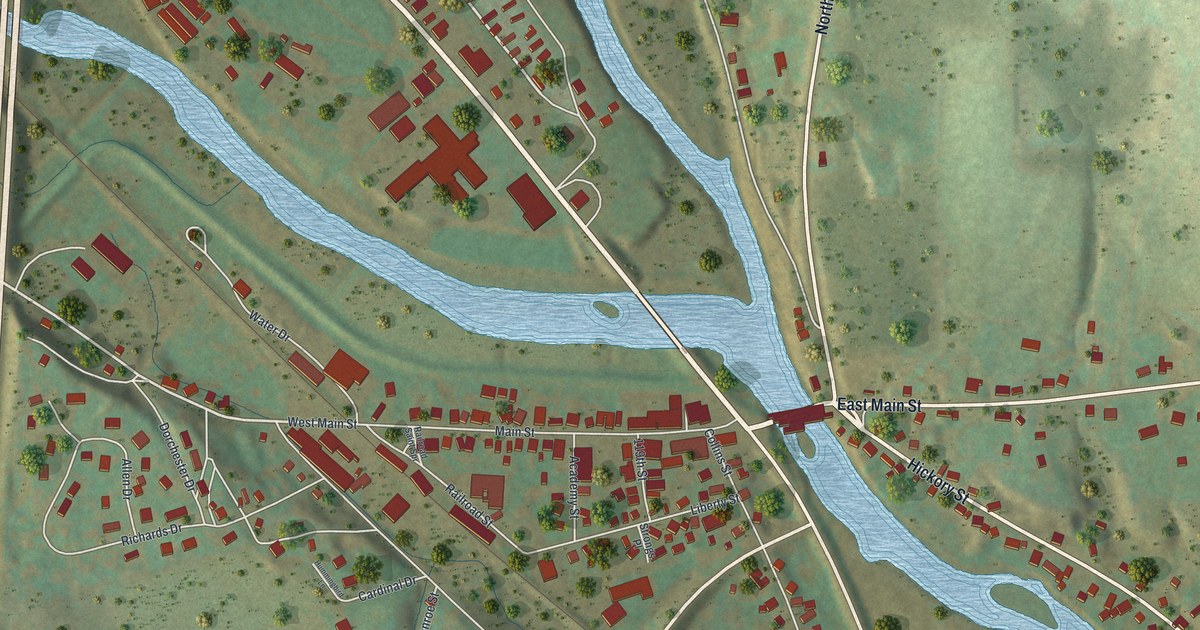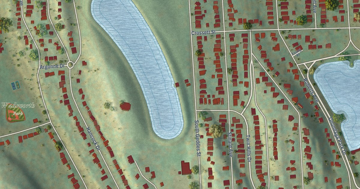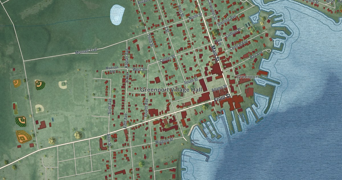
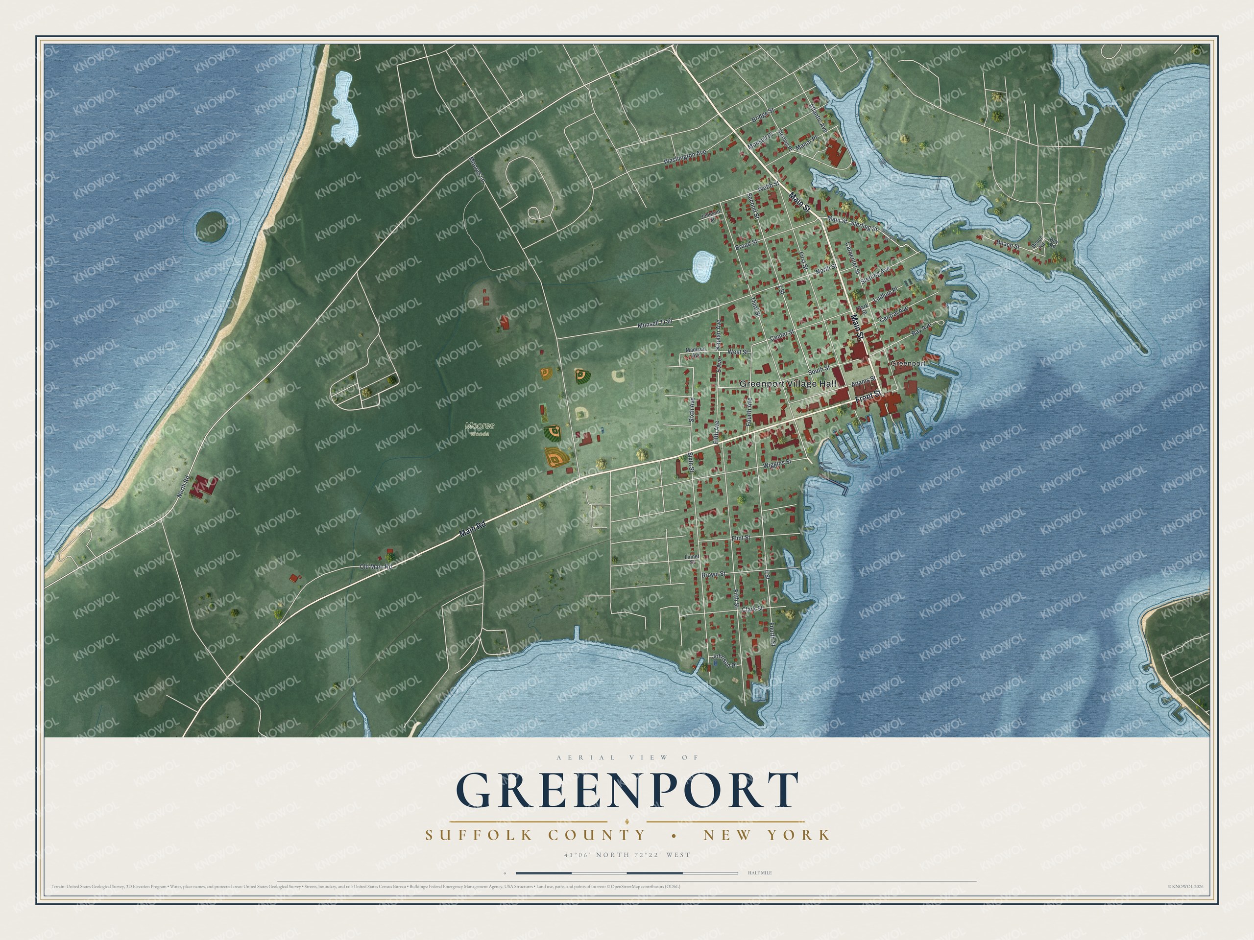
This beautifully detailed map of Greenport, Suffolk County, New York was created in 2026 using aerial imagery combined with modern topographical, census, street and landmark data. It’s a one-of-a-kind view of Greenport that combines accurate data with a vintage aesthetic. The map shows every building in its true location, many of the roads carry their names, and the shaded topographic relief shows the shape of the land.
Explore an aerial view of Greenport, Suffolk County, New York
On the map you’ll find Greenport Village Hall, along with Main Street, Front Street, Main Road, North Road, and more. If you look closely you can even find your house accurately drawn in its correct location. Zoom in on the preview to look for yours.
Did You Know?
Members of the Youngs family from Southold settled here in 1682. The village joined two first hamlets, Stirling and Green Hill. It was named Greenport in 1831 for the green hill that slopes to the bay. Greenport became a busy fishing and whaling port and a rail and steamboat stop between New York and Boston. That’s from the U.S. Geological Survey place names records.
Take a closer look at the Greenport, Suffolk County map
Names on this map
These names are printed on this map.
Places: Greenport Village Hall, Moores Woods and Greenport.
Streets and roads: Main Street, Front Street, Main Road, North Road, Monsell Trail, West Street, 5 Avenue, Sixth Avenue, Moores Lane, Third Street, Fifth Street, First Street.
More street names, A to Z
2 Street, 4 Street, Adams Street, Atlantic Avenue, Bay Avenue, Bay Road, Beach Road, Beach Street, Bridge Street, Broad Street, Brown Street, Carpenter Street, Center Street, Central Avenue, Clark Street, Fifth Avenue, Flint Street, Fourth Avenue, Fourth Street, Johnson Place, Johnson Street, Kaplan Avenue, Linnet Street, Ludlum Place, Madison Avenue, Manor Place, Monsell Place, North Street, Old Main Road, Park Street, Second Street, Sixth Street, South Street, Sterling Avenue, Sterling Place, Sterling Street, Sterlington Street, Washington Avenue, Webb Street, Wiggins Street.
See it on a wall
The Greenport, Suffolk County map as a framed print. Swipe for more.


This beautifully detailed map of Greenport, Suffolk County makes an attractive addition to your office, library, or den, and it can even be used to teach children the geography and history of the area. It also makes a great gift for someone who left Greenport and still calls it home. When you’re done exploring, click here to get your copy of the Greenport, Suffolk County map.