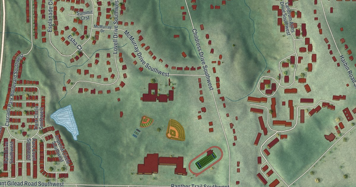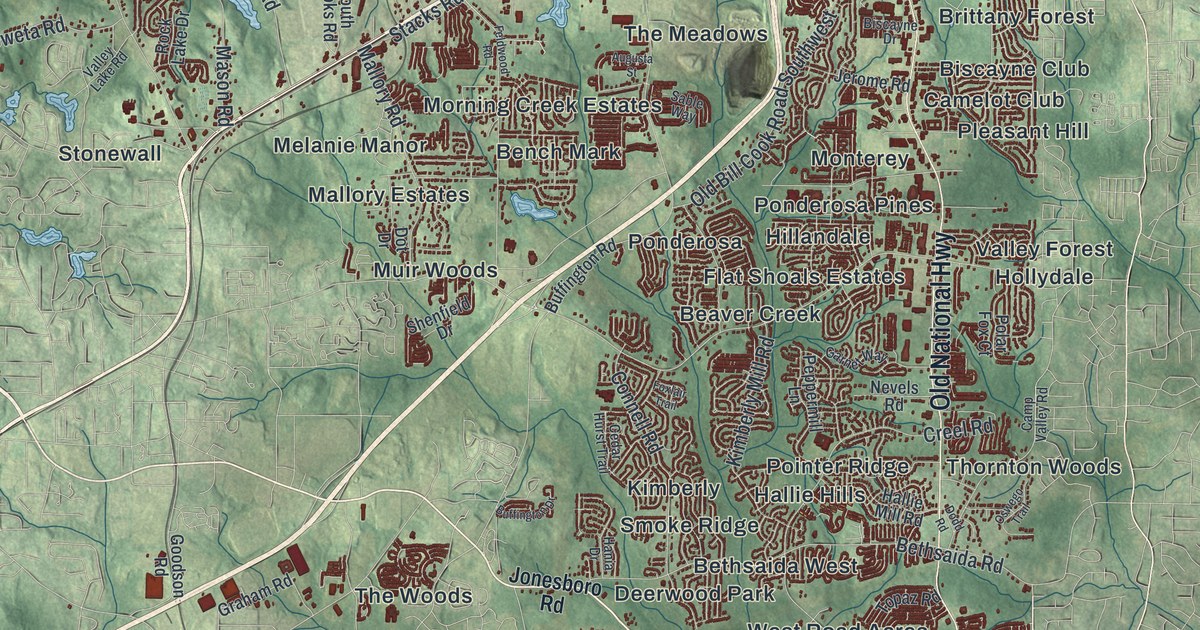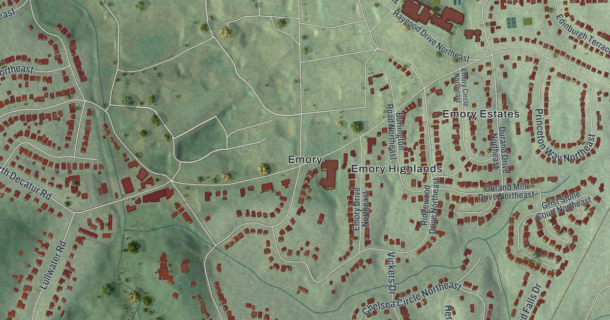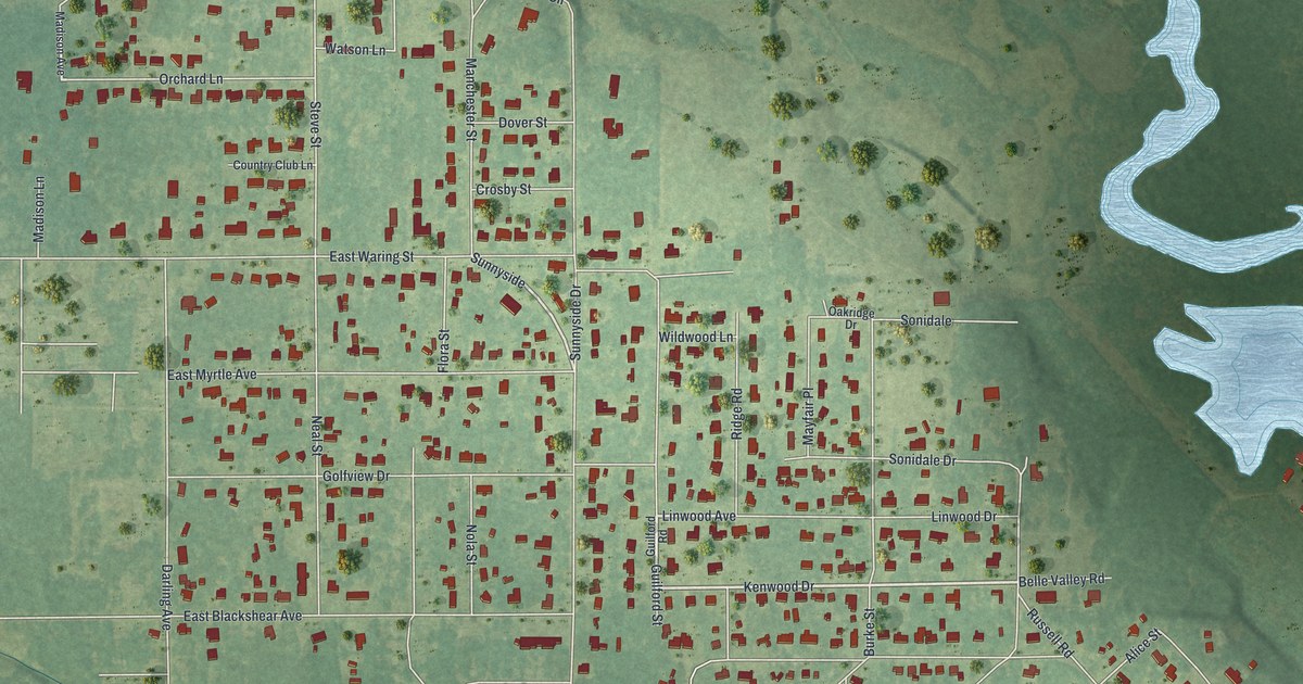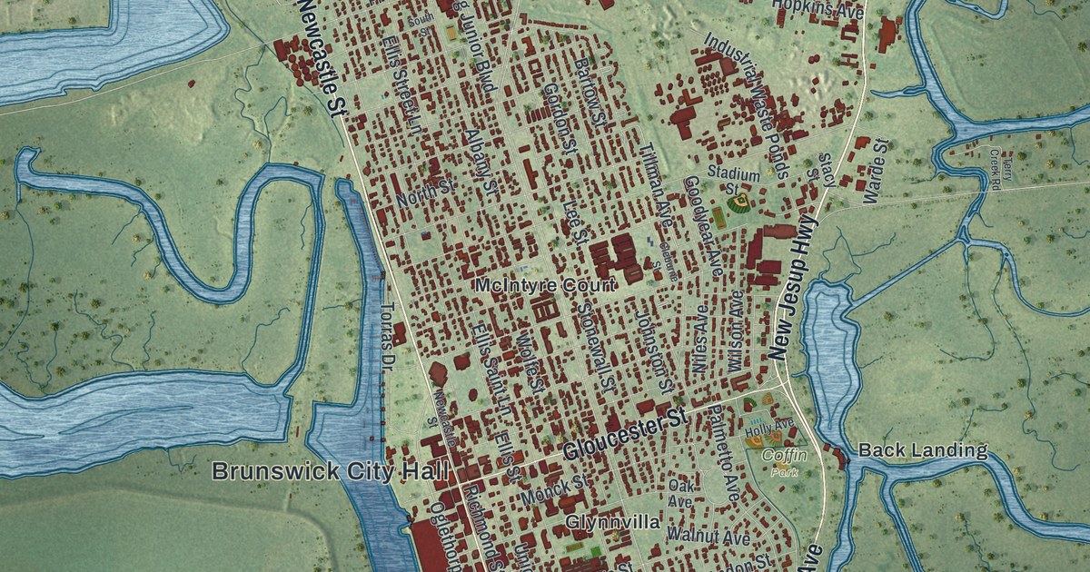
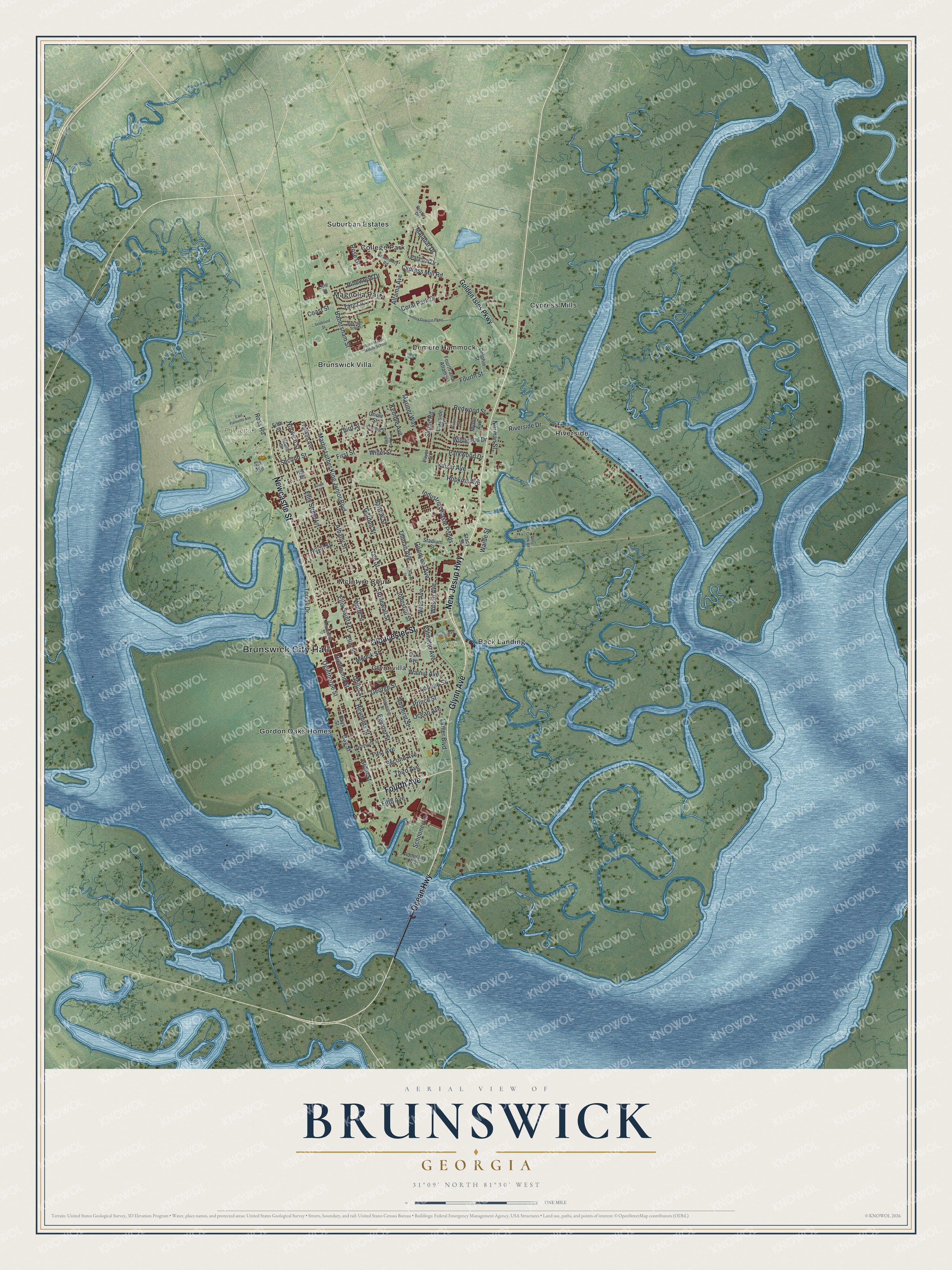
This beautifully detailed map of Brunswick, Georgia was created in 2026 using aerial imagery combined with modern topographical, census, street and landmark data. It’s a one-of-a-kind view of Brunswick that combines accurate data with a vintage aesthetic. The map shows every building in its true location, many of the roads carry their names, and the shaded topographic relief shows the shape of the land.
Explore an aerial view of Brunswick, Georgia
On the map you’ll find Brunswick City Hall, Back Landing, Brunswick Villa, College Park, Cypress Mills, Demere Hammock, Coffin Park, Palmetto Cemetery, and Seldon Park, along with Ocean Highway, Glynn Avenue, Newcastle Street, Fourth Avenue, and more. If you look closely you can even find your house accurately drawn in its correct location. Zoom in on the preview to look for yours.
Did You Know?
During World War II, over 16,000 J.A. Jones workers built 99 Liberty and Knot cargo ships at Brunswick. The first, the SS James M. Wayne, launched on March 13, 1943. Early ships took about 300 days each. Later ones took about two months, and one was finished in only 34 days.
Take a closer look at the Brunswick map
Names on this map
These names are printed on this map.
Places: Brunswick City Hall, Coffin Park, Palmetto Cemetery, Seldon Park, Back Landing, Brunswick Villa, College Park, Cypress Mills, Demere Hammock, Glynnvilla, Gordon Oaks Homes, Magnolia Park, McIntyre Court, Riverside and Suburban Estates.
Streets and roads: Ocean Highway, Glynn Avenue, Newcastle Street, Fourth Avenue, New Jesup Highway, Gloucester Street, Fourth Street, Cypress Mill Road, Ross Road, Altama Avenue, Oglethorpe Street, Bay Street.
More street names, A to Z
Admiralty Way, Albany Street, Amherst Street, Ash Avenue, Bartow Street, Bays Street, Bristle Drive, Bwk High School, Carpenter Street, Cleburne Street, Coast Street, Community Road, Coral Park Drive, Dartmouth Street, Dolphin Street, East Palmetto Avenue, East Park Avenue, Egmont Street, Ellis Saint Lane, Ellis Street, Ellis Street Lane, Emory Dawson Parkway, Fifth Avenue, Fifth Street, First Avenue, First Street, Fourth and Altama, Franklin Avenue, George Street, Golden Isles Parkway, Goodyear Avenue, Gordon Street, Grant Street, Habersham Street, Hill Place, Holly Avenue, Hopkins Avenue, Industrial Waste Ponds, Johnston Street, Kaiser Avenue, Kemble Avenue, Lakeside Drive, Lanier Boulevard, Lee Street, Line Street, London Street, Malabar Drive, Mariner Way, Martin Luther King Junior Boulevard, Monck Street, Myrtle Avenue, Niles Avenue, Norman Street, North Street, Norwich Street, Oak Avenue, Ocean Avenue, Oriole Street, Palamar Drive, Palmetto Avenue, Parkwood Drive, Pinewood Drive, Player Street, Prince Street, Redwood Street, Reynolds Street, Richmond Street, Riverside Drive, Rose Drive, Schooner Lane, Seaboard Street, Second Avenue, Second Street, Shrine Road, South Street, Stacy Street, Stadium Street, Starling Street, Stonewall Street, Tara Lane, Terry Creek Road, Third Avenue, Third Street, Tillman Avenue, Torras Drive, Treville Street, Union Street, Walnut Avenue, Wane Macon Middle School, Warde Street, Wildwood Drive, Willet Street, Wilson Avenue, Wisteria Avenue, Wolfe Street.
See it on a wall
The Brunswick map as a framed print. Swipe for more.


This beautifully detailed map of Brunswick makes an attractive addition to your office, library, or den, and it can even be used to teach children the geography and history of the area. It also makes a great gift for anyone who grew up in Brunswick or moved away. When you’re done exploring, click here to get your copy of the Brunswick map.