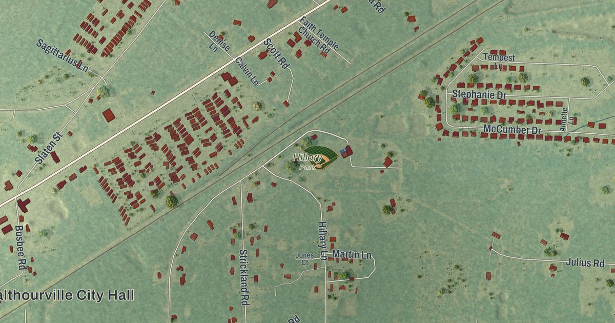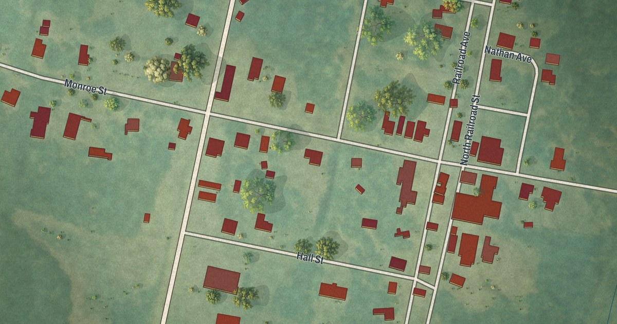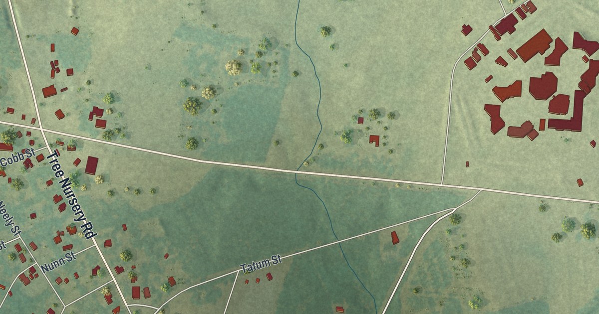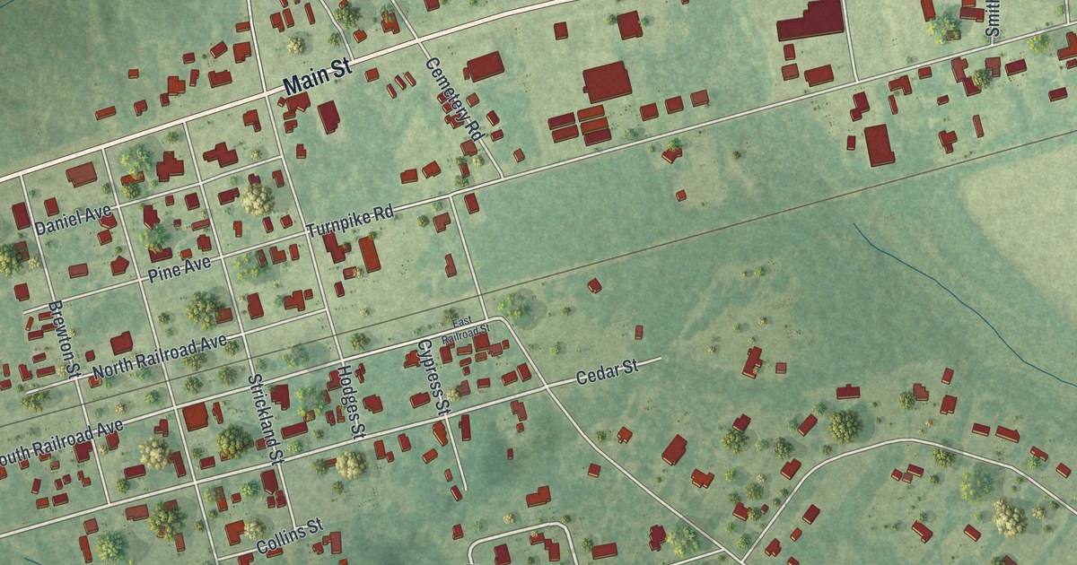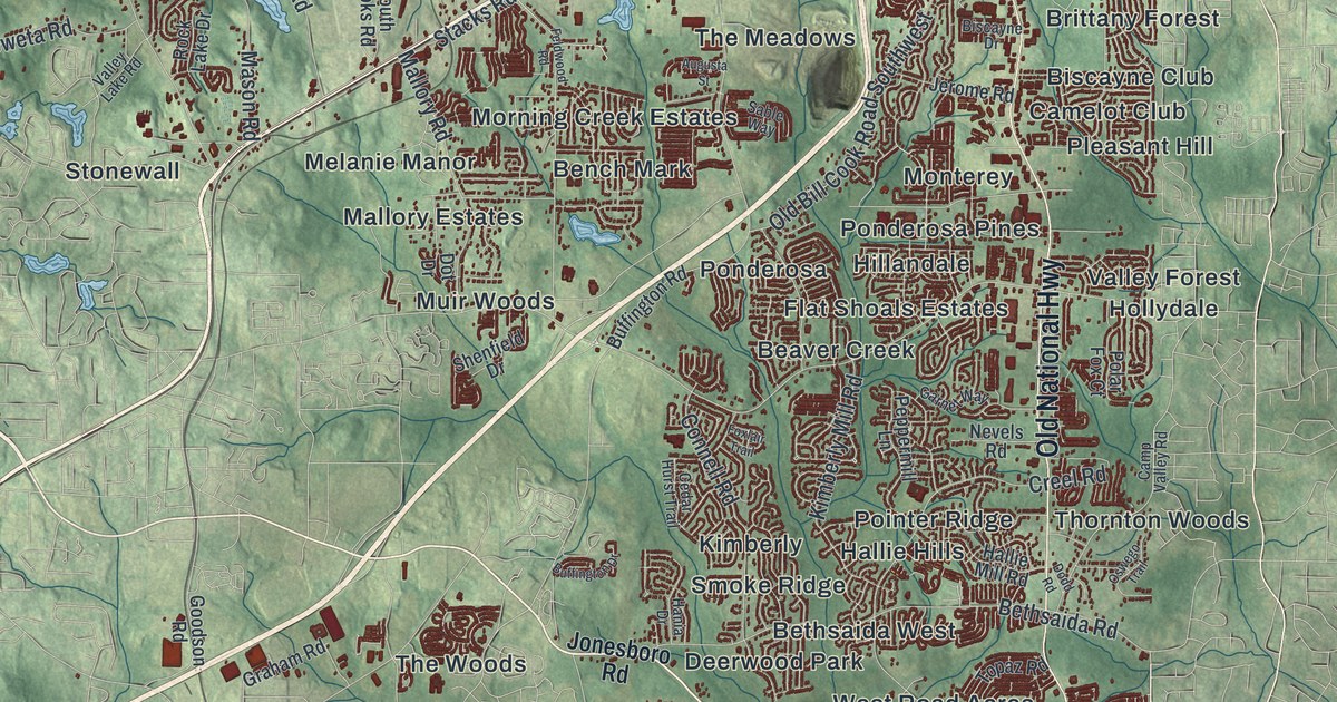
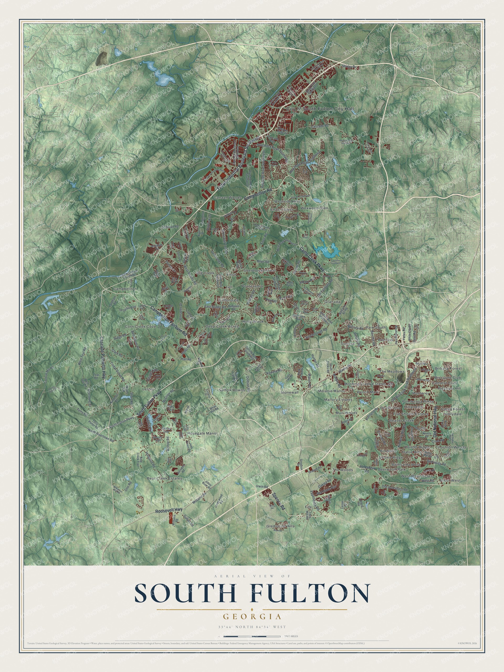
This beautifully detailed map of South Fulton, Georgia was created in 2026 using aerial imagery combined with modern topographical, census, street and landmark data. It’s a one-of-a-kind view of South Fulton that combines accurate data with a vintage aesthetic. The map shows every building in its true location, many of the roads carry their names, and the shaded topographic relief shows the shape of the land.
Explore an aerial view of South Fulton, Georgia
On the map you’ll find Arbor West, Beaver Creek, Bench Mark, Bethsaida West, and Big Creek, along with Roosevelt Highway, Campbellton Fairburn Road, Campbellton Road, Spence Road, Cascade Palmetto Highway, and more. If you look closely you can even find your house accurately drawn in its correct location. Zoom in on the preview to look for yours.
Did You Know?
On November 8, 2016, 59 percent of local voters chose to charter South Fulton as a city. That vote made Fulton the first Georgia county with no unincorporated residential areas. The new city held its first elections in March 2017 and officially began on May 1, 2017.
Take a closer look at the South Fulton map
Names on this map
These names are printed on this map.
Places: City of South Fulton City Hall, Arbor West, Bear Creek Estates, Beaver Creek, Bench Mark, Bethsaida West, Big Creek, Biscayne Club, Brittany Forest, Camelot Club, Campbellton, Canaan Woods, Cliftondale, Corn Creek Cove, Deep Creek Acres, Deerwood Park, Enon, Enon Forest, Fife, Flat Shoals Estates, Gledstone Hills, Granada, Hallie Hills, Hillandale, Holly Brook, Hollydale, Kimberly, Lester, Malibu, Mallory Estates, Melanie Manor, Monterey, Morning Creek Estates, Muir Woods, Park South, Pleasant Hill, Pointer Ridge, Ponderosa, Ponderosa Pines, Pontevedra, Red Oak, Rosegate Manor, Sherbrook Forest, Smoke Ridge, Stonewall, Suffolk Downs, Sunrise, Tell, The Meadows, The Woods, Thornton Woods, Valley Forest, West Road Acres, Westside Hills and Wexwood Glen.
Streets and roads: Roosevelt Highway, Campbellton Fairburn Road, Campbellton Road, Spence Road, Cascade Palmetto Highway, Fulton Industrial Boulevard Southwest, Camp Creek Parkway, Old National Highway, South Fulton Parkway, Boat Rock Road Southwest, Fayetteville Road, Butner Road.
More street names, A to Z
Ailey Avenue, Albany Way, Aldredge Road Southwest, Amhurst Parkway, Augusta Street, Barrington Trace Drive, Bear Creek Trail, Bear Trail, Bell Tell Road, Bellwood Circle, Ben Hill Road, Berkshire Place, Bethlehem Road, Bethsaida Road, Biscayne Drive, Bishop Road, Boulder Ridge Drive, Bowhead Court, Brazos Trail, Buffington Drive, Buffington Road, Campbellton Circle, Camp Trail Road, Camp Valley Road, Canyon Lake Drive, Cascade Road, Cascade Run, Caveat Court, Cedar Grove Road, Cedar Hurst Trail, Clark Road, Cochran Mill Road, Cochran Road, Cochran Road Southwest, Colonist Drive, Colton Run, Connell Road, Creekwood Road, Creel Road, Danforth Road Southwest, Davis Boulevard, Dayview Lane, Delano Road, Demeter Drive, Demooney Road, Derby Avenue, Derby Loop, Derrick Road Southwest, Dodd Road, Dodson Road, Dot Drive, Duquesne Drive Southwest, East Stubbs Road, Elkmont Ridge Southwest, Emily Way Southwest, Enon Road, Enon Road Southwest, Estate Street, Estonian Drive, Everhart Road, Fairburn Road Southwest, Fair Ridge, Feldwood Road, Foggy Oak Drive, Foxlair Trail, Frederick Drive Southwest, Garnet Way, Goodson Road, Graham Road, Greentree Trail, Gullatt Road, Hallie Mill Road, Hall Road, Hania Drive, Harris Road, Herndon Road, Herron Trail, Highland Lake Drive, Highway 92, Hilltop Pass, Hobgood Road, Hudgens Road, Hunter Road, Irwin Road, Jacanar Lane, Jailette Road Southwest, Jailette Trce, Janice Drive, Jennadee Drive, Jerome Road, John Rivers Road, Johns River Road, Jonesboro Road, Jones Road, Kenny Road Southwest, Kent Road, Kimberly Mill Road, Koweta Pky Road, Koweta Road, Lagrange Boulevard Southwest, Lakeshire Southwest, Lakeshore Drive, Lakes Trce, Landham Road, Lees Mill Road, Le Jardin Boulevard, Lester Road, Lily Trail, Locherby Drive, Lower Elm Street, Lyon Avenue, Mallory Road, Mason Road, Mastiff Road, McClure Road, McLarin Road, Merk Road Southwest, Milam Road, Miles Road, Minkslide Drive, Moran Court, Nevels Road, New Hope Road Southwest, Northcutt Road, North Rivertown Road, Oakhurst Drive, Oakley Road, Old Bill Cook Road Southwest, Old Fairburn Road, Old Jonesboro Road, Ono Road, Oswego Trail, Oxford Road, Ozella Place, Parham Way, Parks Trail, Pebble Creek, Peppermill Lane, Petal Place, Petersburg Road, Peters Road, Phillip Lee Drive Southwest, Piper Drive, Pittman Road, Plummer Road Southwest, Polar Fox Court, Porter Terry Road, Pvt Driveway, Rataree Road, Red Hawk Run, Reynolds Road Southwest, Ridge Road, Rock Lake Drive, Rosehall Place, Sable Way, Saint David Street, Saint Jude Drive, Scarborough Road, Selborn Drive, Selig Drive Southwest, Shamrock Drive, Shell Drive, Shenfield Drive, Shirley Drive, Short Road, Sly Fox Run, South Cooks Road, Spoleto Loop, Stacks Road, Stillmist Drive, Stone Cove Drive, Stonewall Tell Road, Stream Vw, Sublime Trail, Tapestry Boulevard, Teal Road, Terry Porter Road, Terry Road, Thaxton Road Southwest, Thoreau Circle, Topaz Road, Tulane Drive Southwest, Union Road Southwest, Valley Lake Road, Vandiver Road Southwest, Village Loop, Volion Drive, Walnut Ridge, Washington Road, Water Run Court, Waterton Avenue, Welcome All Road, Westgate Parkway Southwest, West Road, West Stubbs Road, West Teal Road, West Teel Road, Wewatta Street, White City Road, White Mill Road, Wilkerson Mill Road, Williams Road, Will Lee Road, Wolf Club Lane, Wolfcreek Vw, Wrotham Circle, Yates Road.
See it on a wall
The South Fulton map as a framed print. Swipe for more.


This beautifully detailed map of South Fulton makes an attractive addition to your office, library, or den, and it can even be used to teach children the geography and history of the area. It also makes a great gift for anyone who grew up in South Fulton or moved away. When you’re done exploring, click here to get your copy of the South Fulton map.