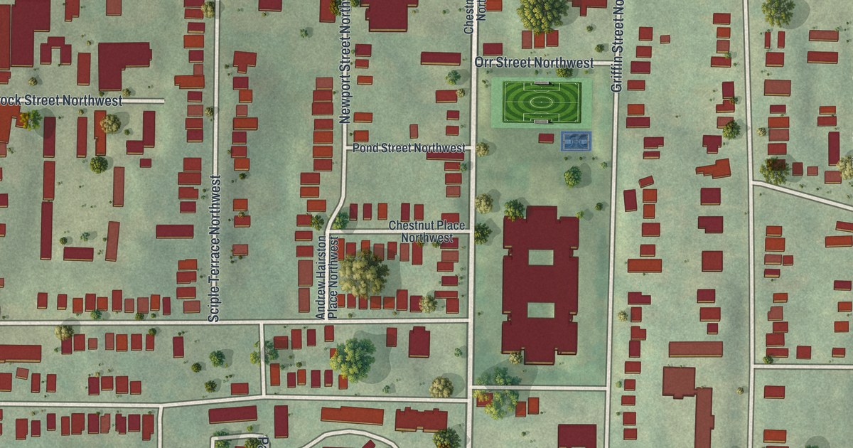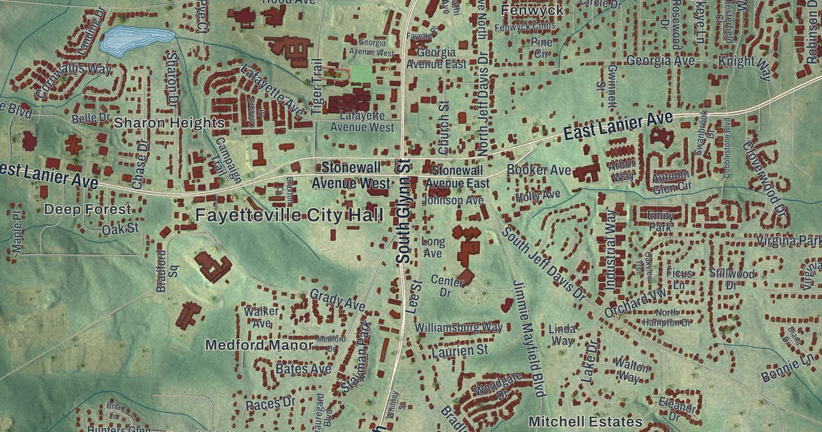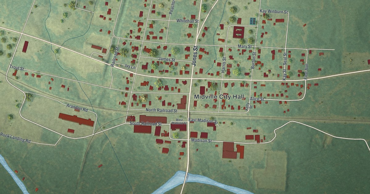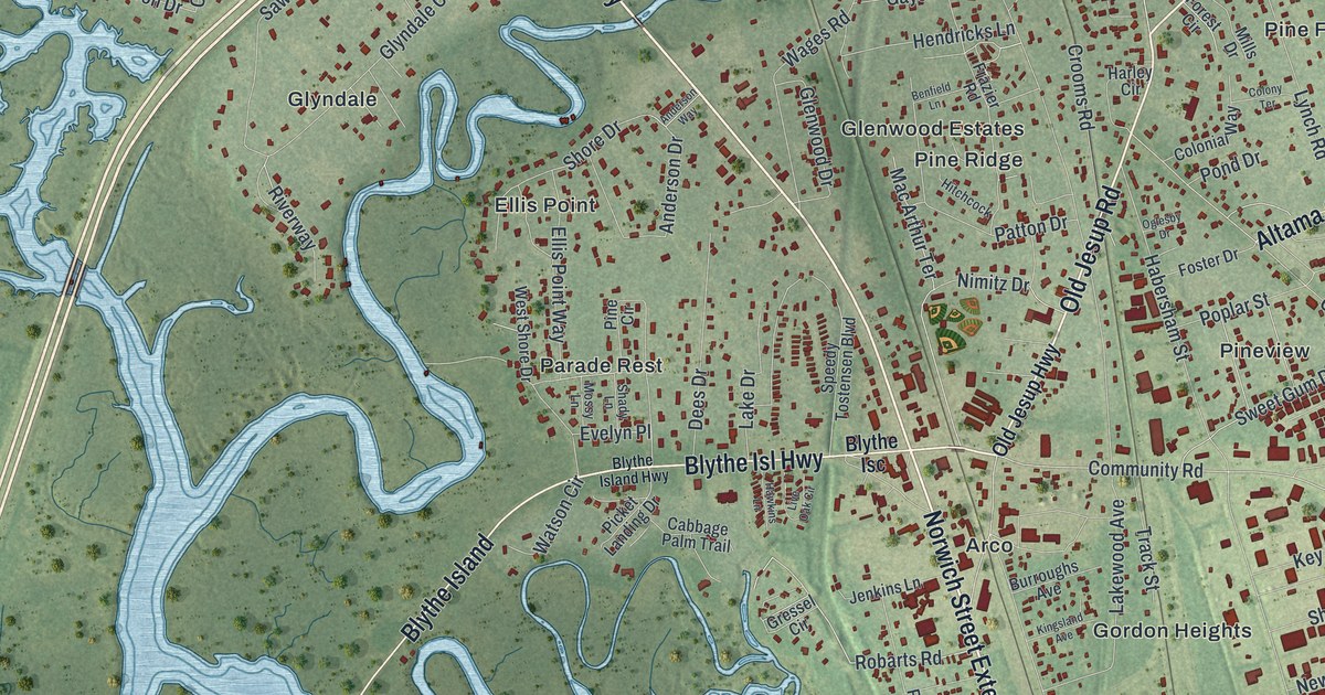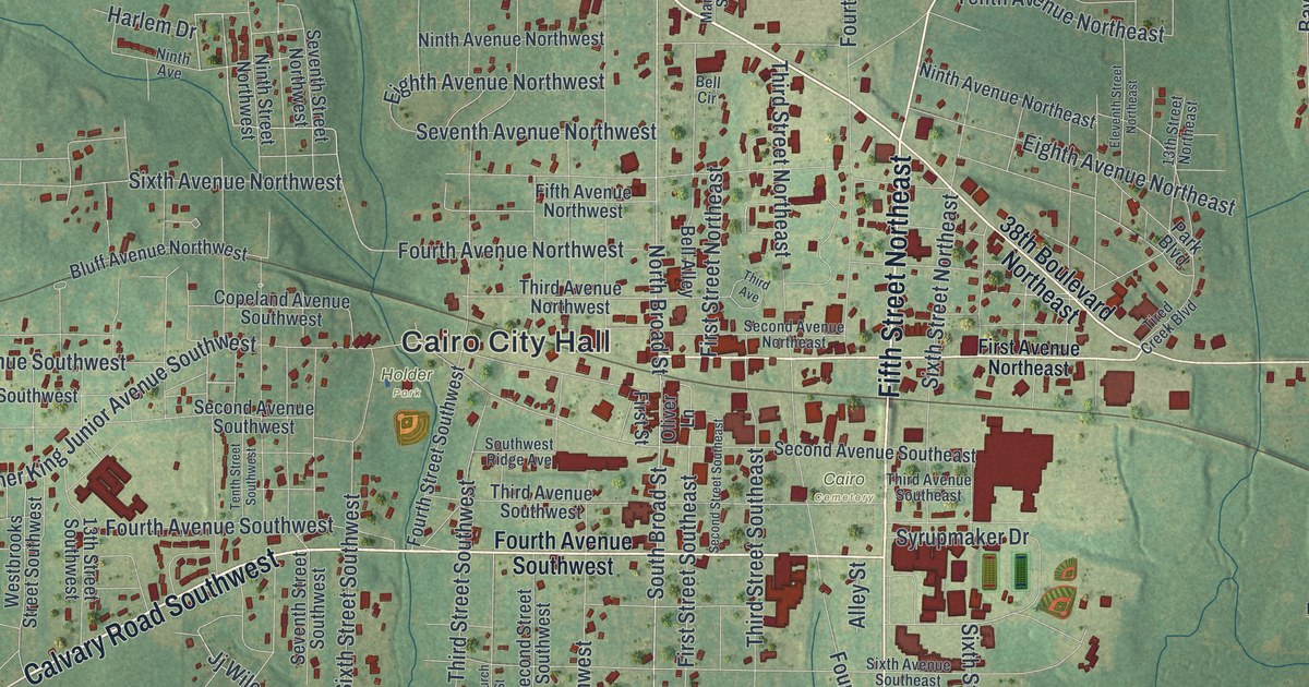
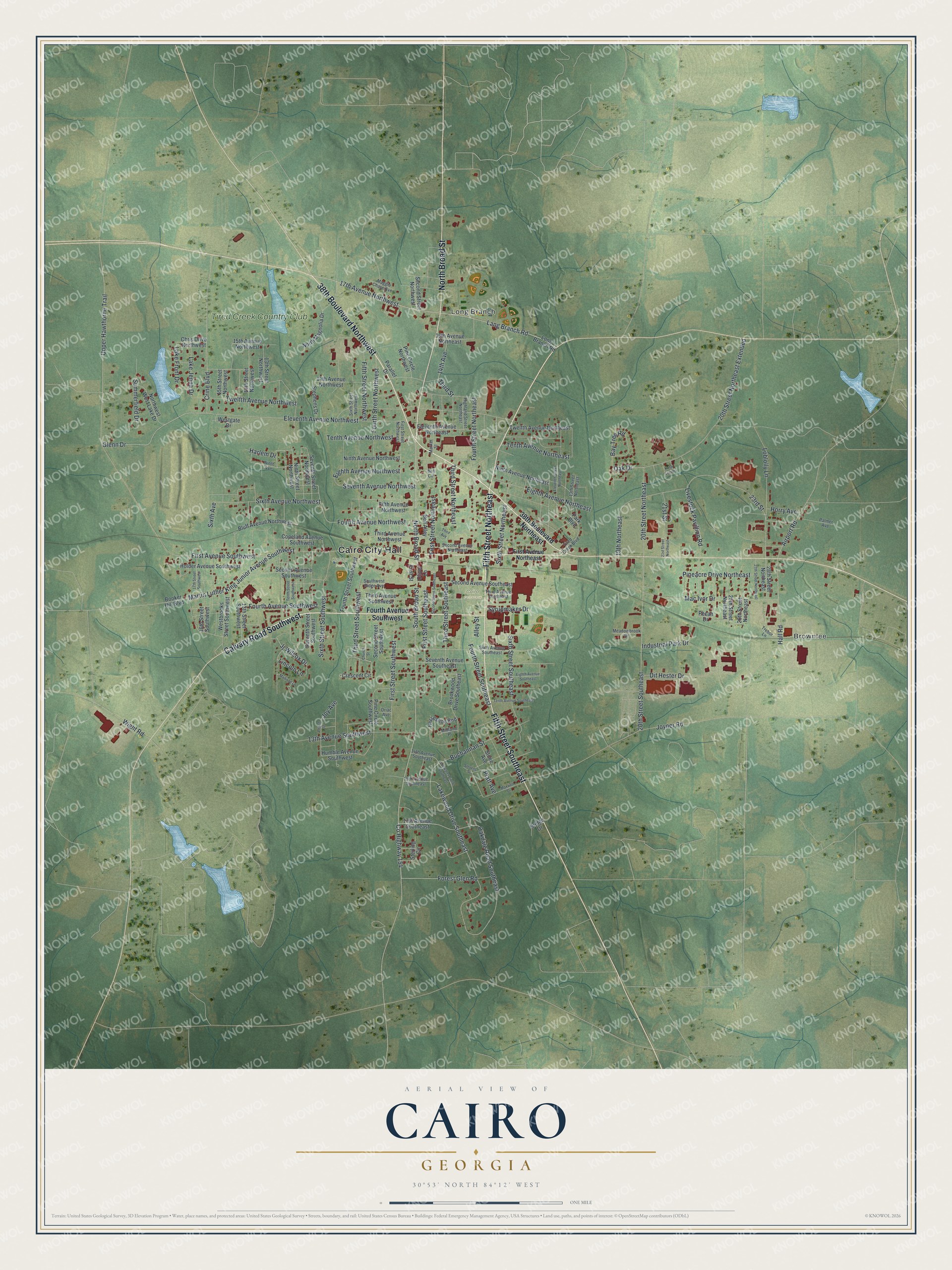
This beautifully detailed map of Cairo, Georgia was created in 2026 using aerial imagery combined with modern topographical, census, street and landmark data. It’s a one-of-a-kind view of Cairo that combines accurate data with a vintage aesthetic. The map shows every building in its true location, many of the roads carry their names, and the shaded topographic relief shows the shape of the land.
Explore an aerial view of Cairo, Georgia
On the map you’ll find Cairo City Hall, Brownlee, Long Branch, and Holder Park, along with Calvary Road, Fifth Street, Broad Street, Lang Branch Road, and more. If you look closely you can even find your house accurately drawn in its correct location. Zoom in on the preview to look for yours.
Did You Know?
Cairo was founded in 1835 and named after Cairo, the capital of Egypt. It became a town in 1870. In 1905 it was chosen as the seat of the brand new Grady County, and it became a city the following year.
Take a closer look at the Cairo map
Names on this map
These names are printed on this map.
Places: Cairo City Hall, Brownlee, Long Branch, Cairo Cemetery, Holder Park and Tired Creek Country Club.
Streets and roads: 38th Boulevard Northwest, Calvary Road Southwest, Fifth Street Northeast, Fifth Street Southeast, North Broad Street, South Broad Street, 17th Avenue Northwest, Lang Branch Road, Tenth Avenue Northwest, Eighth Avenue Northwest, Oakdale Road Southeast, Lakewood Drive Southeast.
More street names, A to Z
13th Avenue Southwest, 13th Street Northeast, 13th Street Northwest, 13th Street Southwest, 14th Avenue, 14th Avenue Northwest, 14th Avenue Southeast, 14th Street Northwest, 15th Avenue Northwest, 15th Avenue Southeast, 15th Street Northwest, 16th Avenue Northeast, 16th Street Southwest, 17th Avenue Southeast, 17th Street Southwest, 19th Northeast, 20th Street Northeast, 20th Street Northeast Extended, 20th Street Southeast, 21st Street, 21st Street Northeast, 23rd Street, 25th Street Northeast, 26th Street Northeast, 27th Street Northeast, 28th Street Northeast, 38th Boulevard Northeast, Airport Road, Alley Street, Bay Tree Road, Bell Alley, Bell Circle, Bluff Avenue Northwest, Booker Hill Boulevard, Bridge Drive, Brookwood Drive Southeast, Buchannan Street, Chris Drive Northwest, Church Street, Copeland Avenue Southwest, County Highway 154, Crescent Circle, Crine Boulevard, Dit Hester Drive, Eighth Avenue Northeast, Eighth Avenue Southeast, Eleventh Avenue Northeast, Eleventh Avenue Northwest, Eleventh Street Northeast, Fifth Avenue Northwest, Fifth Street Northwest, First Avenue Northeast, First Avenue Southwest, First Street, First Street Northeast, First Street Northwest, First Street Southeast, First Street Southwest, Forest Glen Road, Fourth Avenue Northwest, Fourth Avenue Southwest, Fourth Street Northeast, Fourth Street Northwest, Fourth Street Southeast, Fourth Street Southwest, Glenn Drive, Hall Road, Harlem Drive, Highland Street Northeast, Holder Avenue Southwest, Horry Avenue, Horseshoe Bnd, Humble Avenue Southwest, Industrial Park Drive, Jj Wilcox Drive, Joy Avenue, Joyner Road, Kristi Lee Drive, Lake Front Drive, Lake Jenna Drive, Lincoln Lane, Livestock Pavillion Road, Loblolly Lane, Long Branch Road, Lullwater Circle Southeast, Mac Ivor Drive, Madison Lane, Maggie Chase Avenue, Market Street, Martin Luther King Junior Avenue Southwest, Maxwell Drive, Meadowbrook Drive, Midland Place, Ninth Avenue, Ninth Avenue Northeast, Ninth Avenue Northwest, Ninth Street Northwest, North Magnolia Drive, Northwest West Lake Drive, Oak Drive, Oliver Lane, Oriac Avenue, Palmer Avenue, Parallel Drive, Park Boulevard, Peace Street, Pecan Drive, Pineacre Drive Northeast, Pine Circle Northwest, Pine Circle Southwest, Platt Avenue, Second Avenue Northeast, Second Avenue Southeast, Second Avenue Southwest, Second Street Northwest, Second Street Southeast, Second Street Southwest, Seventh Avenue Northwest, Seventh Avenue Southeast, Seventh Street Northwest, Seventh Street Southwest, Sixth Avenue, Sixth Avenue Northwest, Sixth Avenue Southeast, Sixth Street Northeast, Sixth Street Northwest, Sixth Street Southeast, Sixth Street Southwest, Southwest Ridge Avenue, Stephens Drive, Sterling Circle, Stevens Street, Stone Avenue, Summerfield Drive, Syrupmaker Drive, Tenth Avenue Northeast, Tenth Avenue Southeast, Tenth Street Southwest, Third Avenue, Third Avenue Northwest, Third Avenue Southeast, Third Avenue Southwest, Third Street, Third Street Northeast, Third Street Southeast, Third Street Southwest, Tired Creek Boulevard, Trebor Lane, Twelfth Avenue Northeast, Twelfth Avenue Northwest, Upper Hawthorne Trail, Westbrooks Street Southwest, Westgate Drive, Wight Road.
See it on a wall
The Cairo map as a framed print. Swipe for more.


This beautifully detailed map of Cairo makes an attractive addition to your office, library, or den, and it can even be used to teach children the geography and history of the area. It also makes a great gift for anyone with Cairo roots. When you’re done exploring, click here to get your copy of the Cairo map.