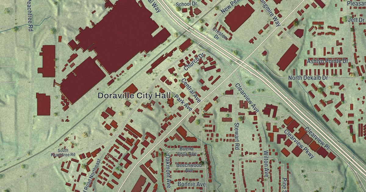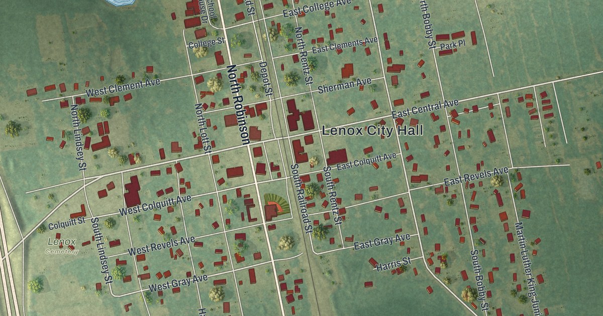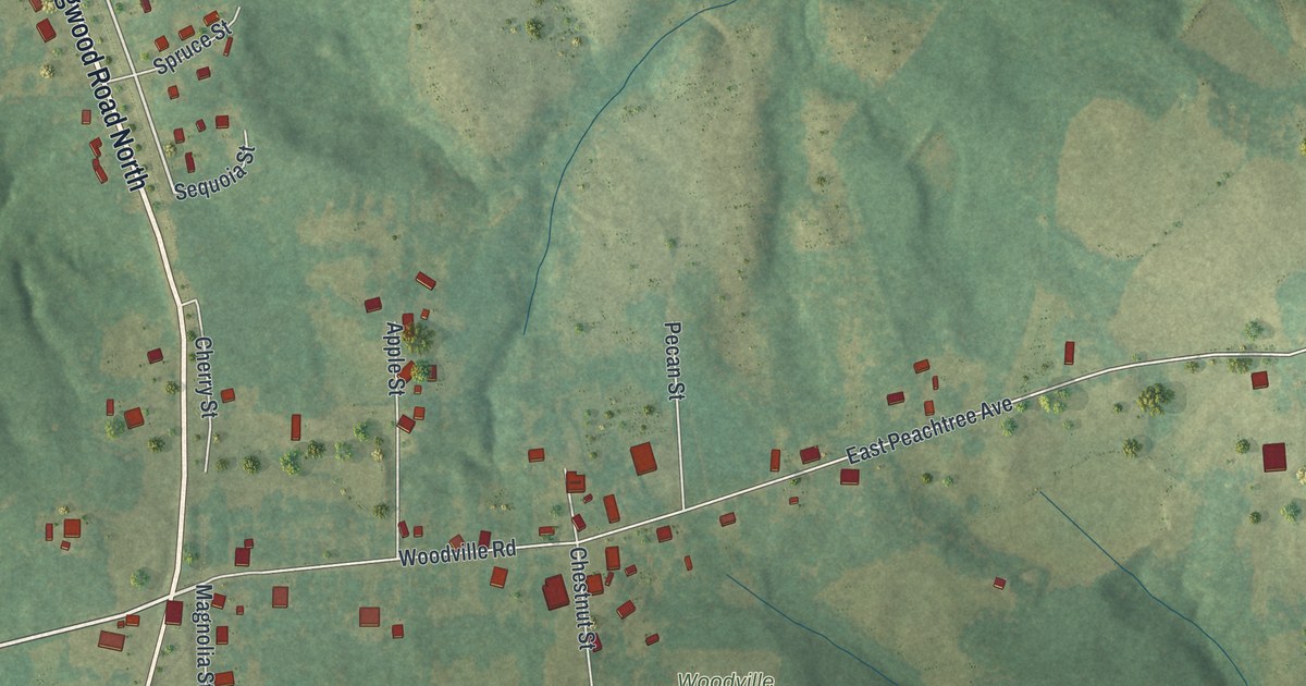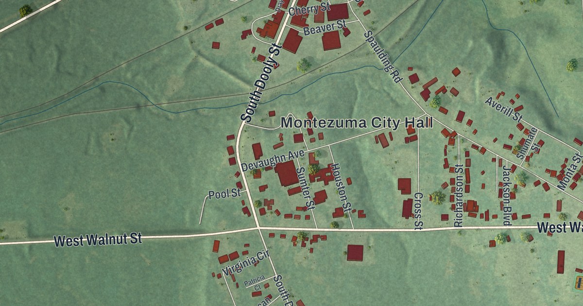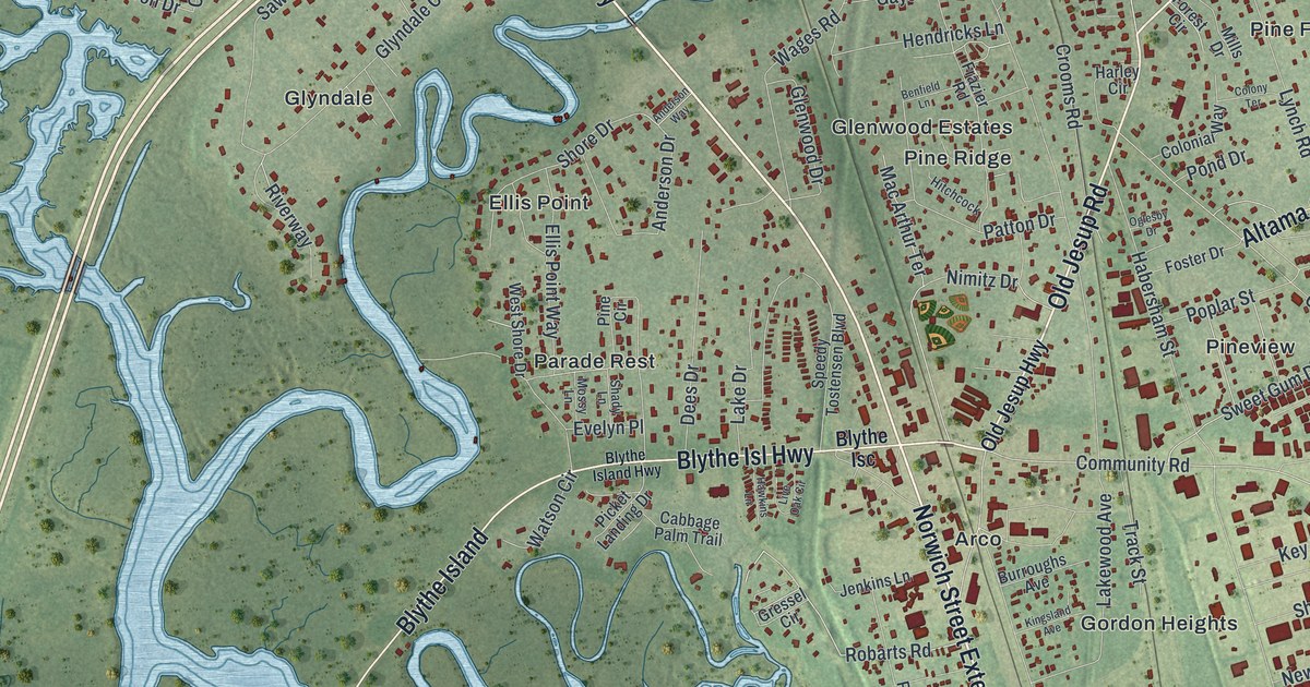
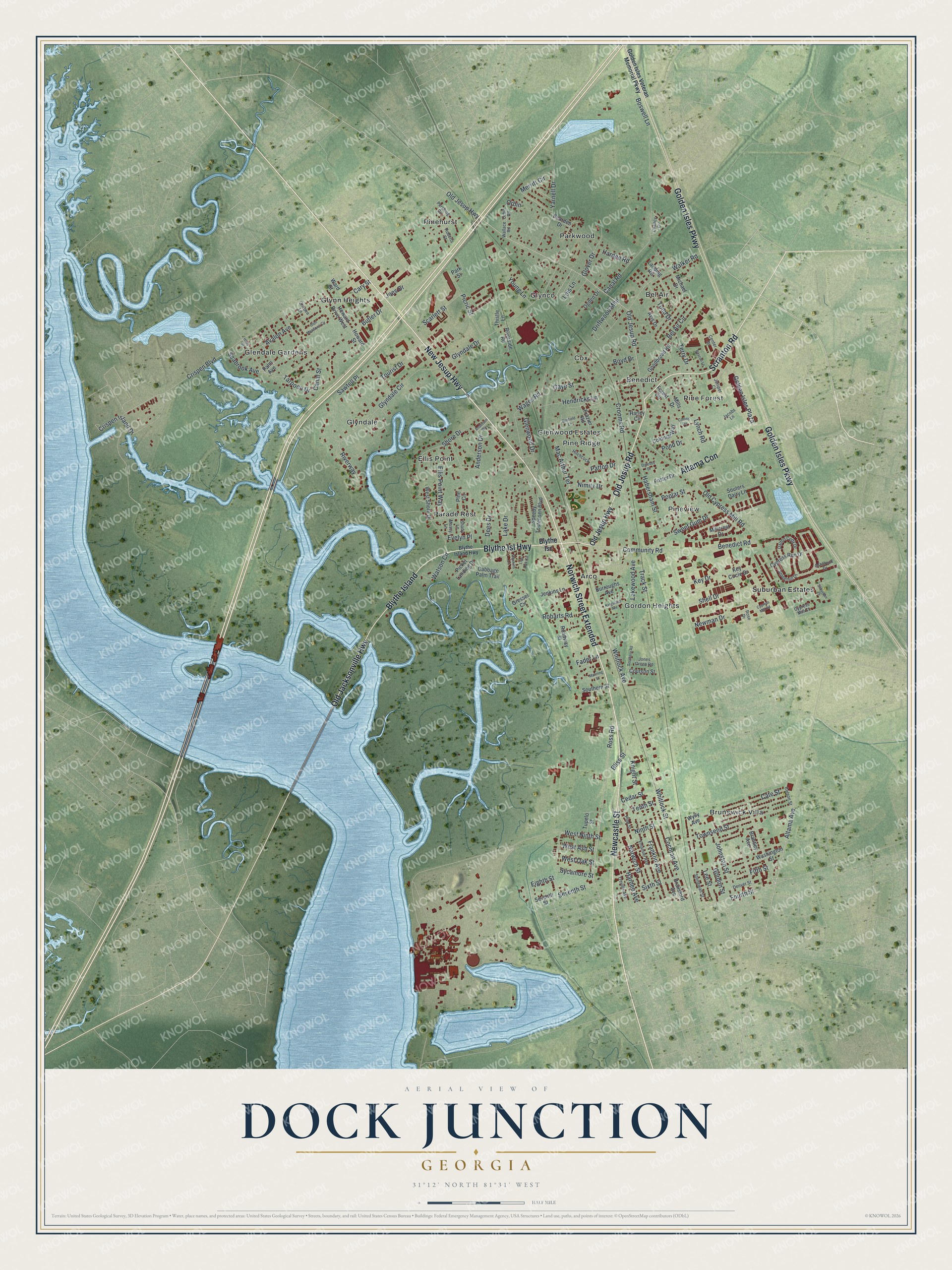
This beautifully detailed map of Dock Junction, Georgia was created in 2026 using aerial imagery combined with modern topographical, census, street and landmark data. It's a modern aerial view of Dock Junction in Glynn County, Georgia, that combines modern data with a vintage aesthetic. The roads feature printed names, and if you look closely you can find your exact house accurately shown in its correct location.
Explore an aerial view of Dock Junction, Georgia
On this map you'll find Pineview, Brunswick Villa, Glendale Gardens, Parkwood, Gordon Heights, Cox, Ellis Point, Pinehurst, Glynn Heights, Suburban Estates, Glenwood Estates, Pine Forest, and more. Each red shape is a building, so zoom in on the preview and look for yours.
Here is a piece of Dock Junction history. The County Community School was built on Chapel Crossing Road in 1915. It brought five small country schools together under one roof, and local papers called it the first of its kind in Georgia. In 1936 it was renamed Ballard School for Nathaniel Harrison Ballard, who led Glynn County schools from 1901 to 1919. It taught grown-ups too. The county agent showed local men better farming methods there, and once a month a teacher and a county nurse held classes for women. That's from the National Register of Historic Places.
Dock Junction is a community in Glynn County. The Census Bureau counted 8,266 people here in 2020.
Take a closer look at the Dock Junction map
Names on this map
These names are printed on this map.
Places: Pineview, Brunswick Villa, Glendale Gardens, Parkwood, Gordon Heights, Cox, Ellis Point, Pinehurst, Glynn Heights, Suburban Estates, Glenwood Estates, Pine Forest, Bel Air, Glynco, Parade Rest, Glyndale, Pine Ridge, Arco and Benedict.
Streets and roads: New Jesup Highway, Old Jesup Road, Scranton Road, Newcastle Street, Old Jacksonville Highway, Blythe Isl Highway, Blythe Island, Golden Isles Parkway, Norwich Street Extended, Altama Con, Ross Road, Altama Avenue.
More street names, A to Z
Anderson Drive, Anderson Way, Ashbrook Drive, Avalon Avenue, Avis Drive, Beacon Lane, Bearden Drive, Bel Air Circle, Benedict Road, Benfield Lane, Bliss Street, Blythe Isc, Blythe Island Highway, Boswell Lane, Boyd Drive, Brailsford Avenue, Brantley Avenue, Burroughs Avenue, Butler Drive, Cabbage Palm Trail, Canal Road, Canal Street, Cary Street, Cate Street, Cedar Street, Center Drive, Chancy Circle, Cochran Avenue, Colonial Way, Colony Terrace, Colson Street, Community Road, Courson Street, Crispen Boulevard, Crispen Island Drive, Crispen Lane, Crooms Road, Cypress Mill Court, Cypress Mill Road, Cypress Run Drive, Dalton Cody Drive, Dees Drive, Denver Street, Driftwood Mhp, Eighth Street, Ellis Point Way, Emanuel Avenue, Evelyn Place, Fader Lane, Fifth Street, Forest Circle, Foster Drive, Fourth Street, Franklin Avenue, Frazier Road, Gaye Street, Glen Meadows Circle, Glenwood Drive, Glover Drive, Glyndale Circle, Glyndale Drive, Golden Isles Plaza, Golden Isles Veteran Memorial Parkway, Goodbread Road, Gordon Street, Gressel Circle, Habersham Street, Hardee Avenue, Hardee Road, Harley Circle, Hawkins Lane, Hendricks Lane, Hitchcock, Holly Street, Howard Drive West, Howard Street, Jacobs Lane, Jenkins Lane, Joes Drive, Johnston Street, Jones Green Road, Juniper Court, Key Circle Drive, Key Drive, Kingsland Avenue, Knight Street, Lake Drive, Lakewood Avenue, Landing Road, Lee Street, Live Oak Circle, Lois Lane, Lynch Road, Mac Arthur Terrace, Manning Street, Merritt Circle, Michael Drive, Millcrest Drive, Mills Drive, Mossy Lane, Newman Drive, Nimitz Drive, Ninth Street, Norwich Street, Ogden Drive, Oglesby Drive, Old Cypress Mill Road, Old Jesup Highway, Orbin, Orbin Road, Palm Avenue, Park Street, Patton Drive, Pershing Circle, Picket Landing Drive, Picric Street, Pine Circle, Pine Street, Pond Drive, Poplar Street, Riverside Road, Riverway, Roadway Street, Robarts Road, Roberts Street, Rose Drive, Sawtell Place, Scarlett Street, Seabrook Avenue, Seventh Street, Shady Lane, Shell Drive, Shore Drive, Sixth Street, Souters Dairy Lane, Southern Road, Southern Street, Speedy Tostensen Boulevard, Stonemill Drive, Stonewall Street, Suburban Drive, Sweet Gum Drive, Sycamore Street, Tarpoon Drive, Tenth Street, Terry Drive, Thistle Lane, Todd Drive, Tourist Drive, Townsend Street, Track Street, Treville Avenue, Tupelo Street, Wages Road, Walker Road, Wallace Road, Ward Street, Washington Street, Watson Circle, West Ash Street, West Ninth Street, West Oak Street, West Shore Drive, Whitlock Avenue, Whitlock Street, Wylly Avenue, Yarnell Drive, Young Lane.
See it on a wall
The Dock Junction map as a framed print. Swipe for more.


Created by KNOWOL in 2026. The buildings are small red shapes, the roads carry their printed names, and shaded relief shows the shape of the land. The title panel reads "AERIAL VIEW OF DOCK JUNCTION, GEORGIA" with 31°12' NORTH 81°31' WEST.
It suits a den, a classroom or a front hall, and it makes a gift for anyone with Dock Junction roots. Open the preview and find the block you know. See sizes and frames for the Dock Junction map.