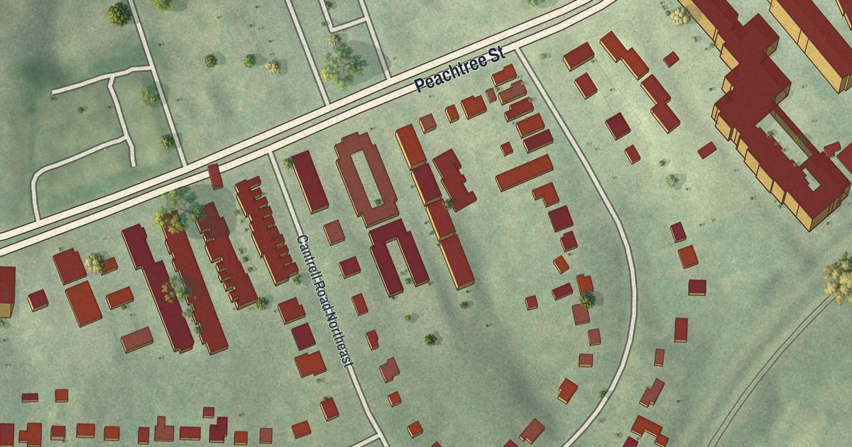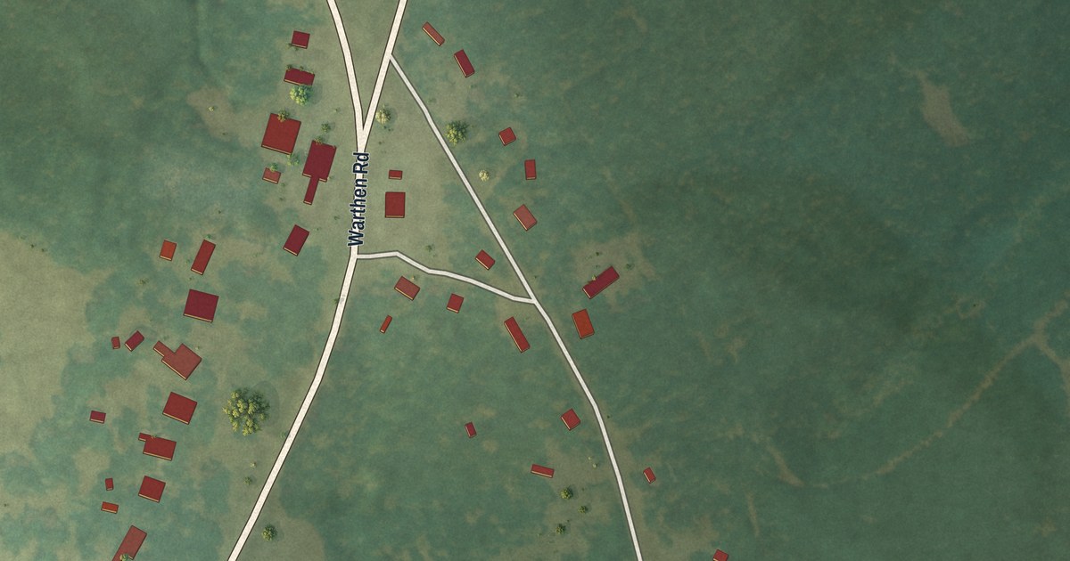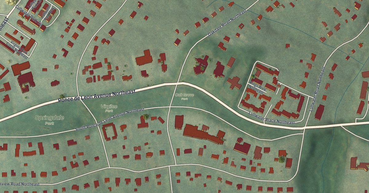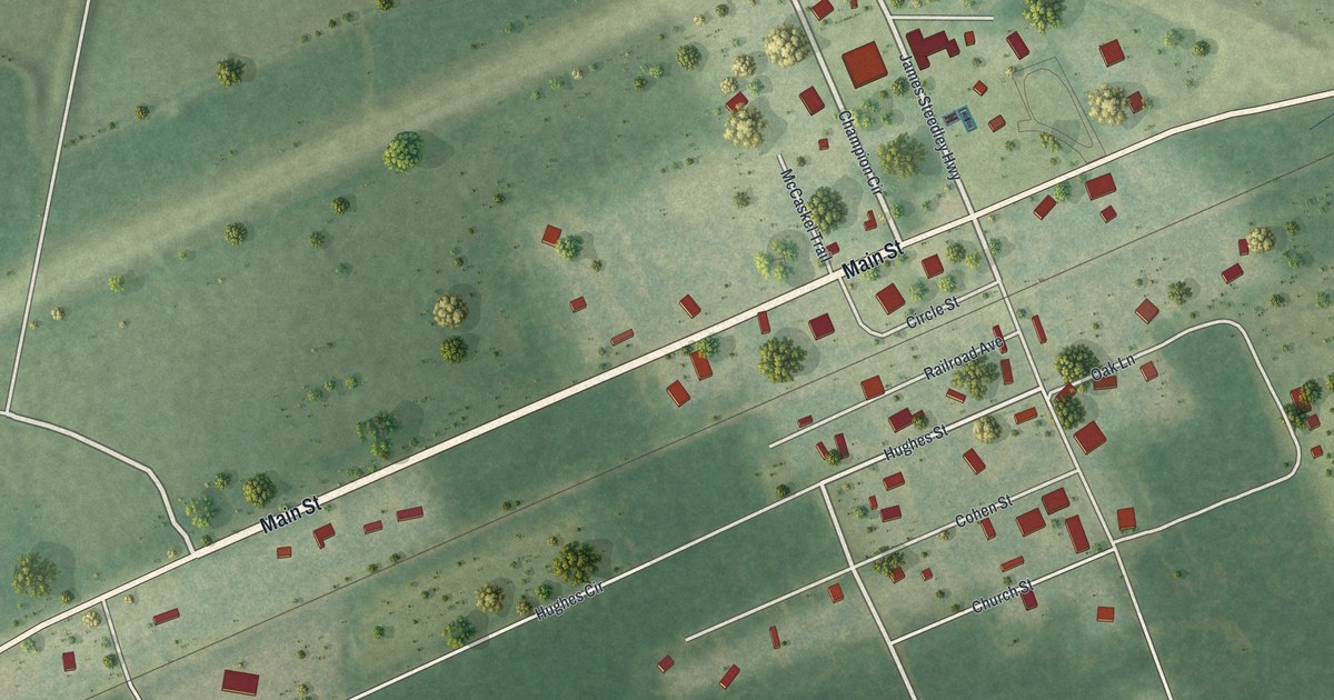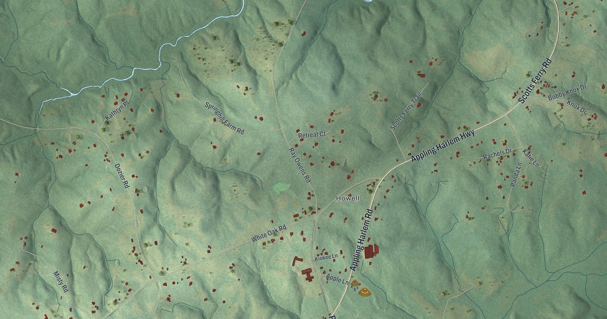
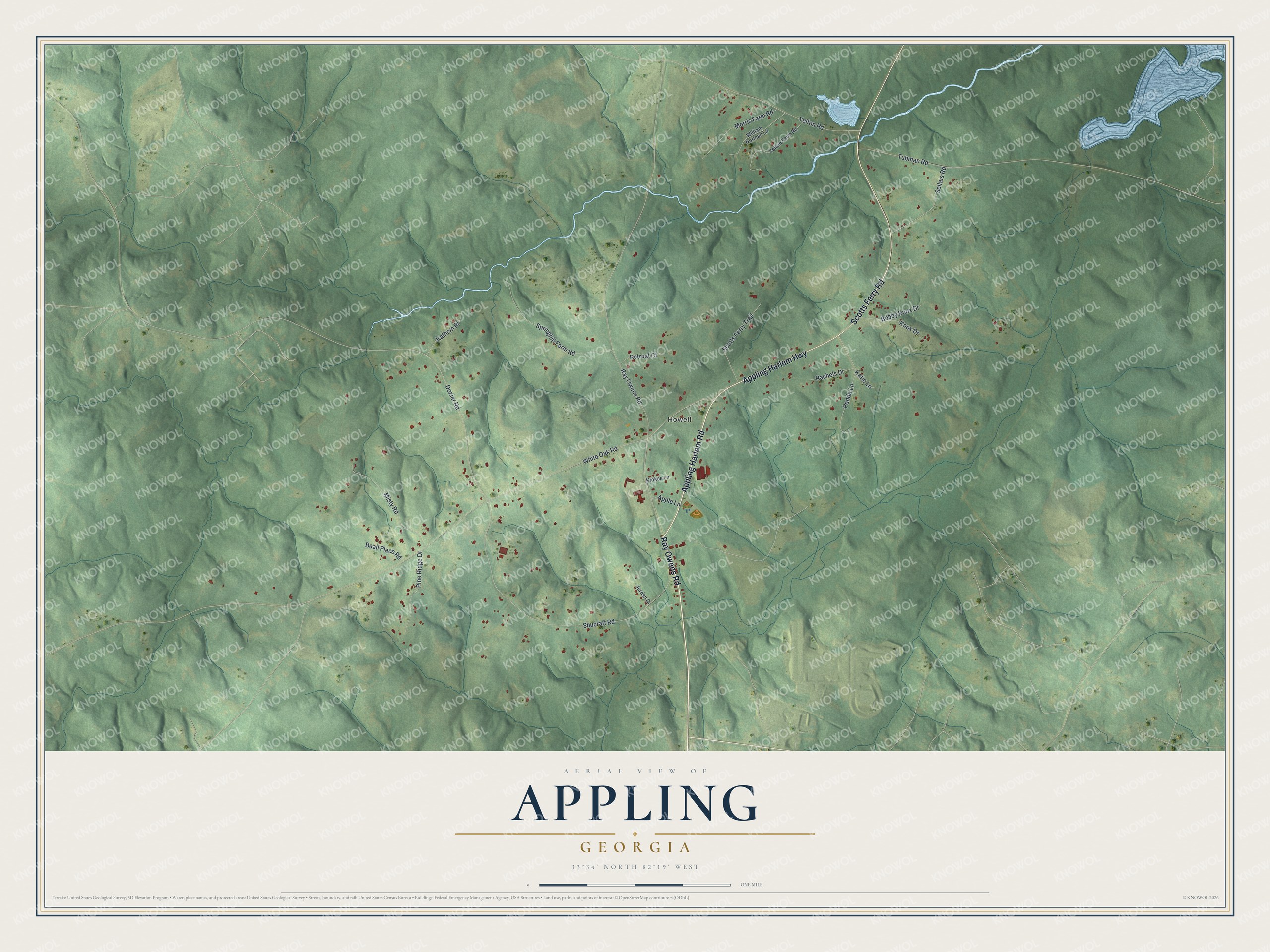
This beautifully detailed map of Appling, Georgia was created in 2026 using aerial imagery combined with modern topographical, census, street and landmark data. It's a modern aerial view of Appling in Columbia County, Georgia, that combines modern data with a vintage aesthetic. The roads feature printed names, and if you look closely you can find your exact house accurately shown in its correct location.
Explore an aerial view of Appling, Georgia
On this map you'll find Howell, Appling Harlem Road, Ray Owens Road, Appling Harlem Highway, Scotts Ferry Road, White Oak Road, Shucraft Road, Tubman Road, Dozier Road, Yelton Road, Springhill Farm Road, Misty Road, and more. Each red shape is a building, so zoom in on the preview and look for yours.
Here is a piece of Appling history. William Appling settled here in 1772. He later deeded the land where the Columbia County courthouse was set up in December 1807, and Appling replaced the old county seat at Cobbham, which has since disappeared. That's from the book Georgia Place-Names by Kenneth Krakow.
Appling is a community in Columbia County. The Census Bureau counted 658 people here in 2020.
Take a closer look at the Appling map
Names on this map
These names are printed on this map.
Places: Howell.
Streets and roads: Appling Harlem Road, Ray Owens Road, Appling Harlem Highway, Scotts Ferry Road, White Oak Road, Shucraft Road, Tubman Road, Dozier Road, Yelton Road, Springhill Farm Road, Misty Road, Scotts Ferry Trail.
More street names, A to Z
Apple Lane, Beall Place Road, Bobby Knox Drive, Jordan Drive, Kathryn Place, Katie Lane, Kiokee Lane, Knox Drive, Morris Farm Road, Panda Lane, Pine Ridge Drive, Rachels Drive, Retreat Court, Sellars Road, William Norman Lane, Yelton Farm Road.
See it on a wall
The Appling map as a framed print. Swipe for more.


Created by KNOWOL in 2026. The buildings are small red shapes, the roads carry their printed names, and shaded relief shows the shape of the land. The title panel reads "AERIAL VIEW OF APPLING, GEORGIA" with 33°34' NORTH 82°19' WEST.
It suits a den, a classroom or a front hall, and it makes a gift for anyone with Appling roots. Open the preview and find the block you know. See sizes and frames for the Appling map.