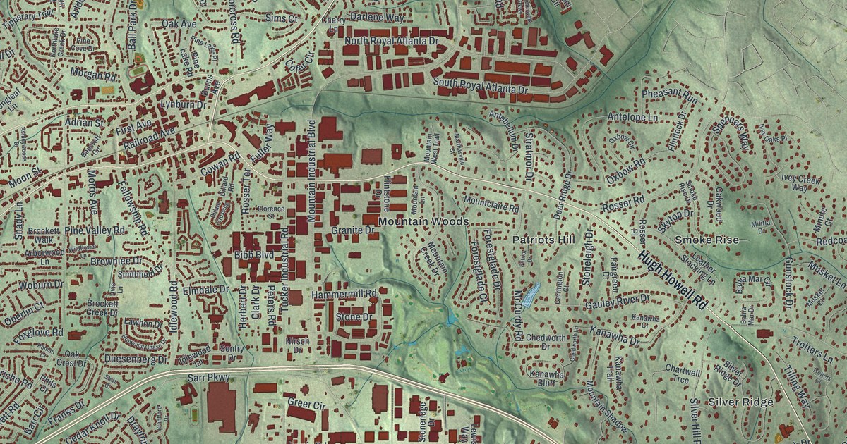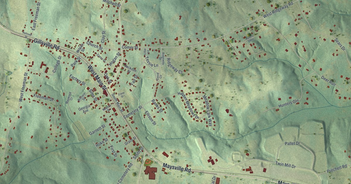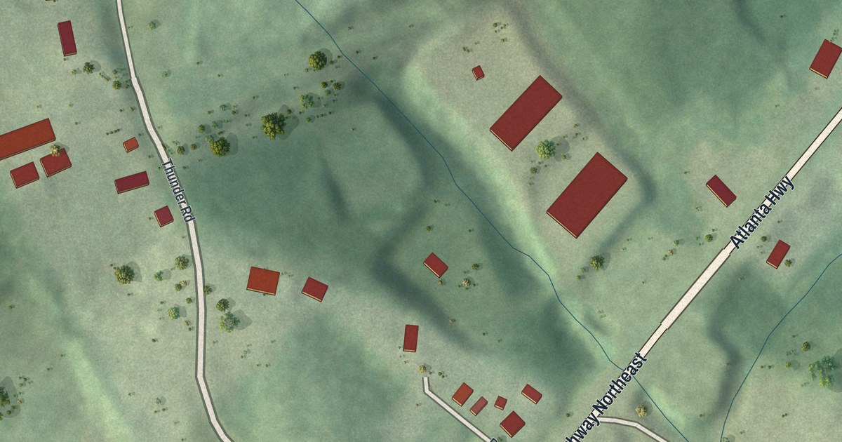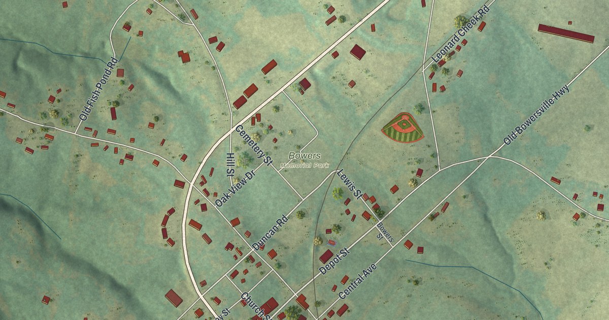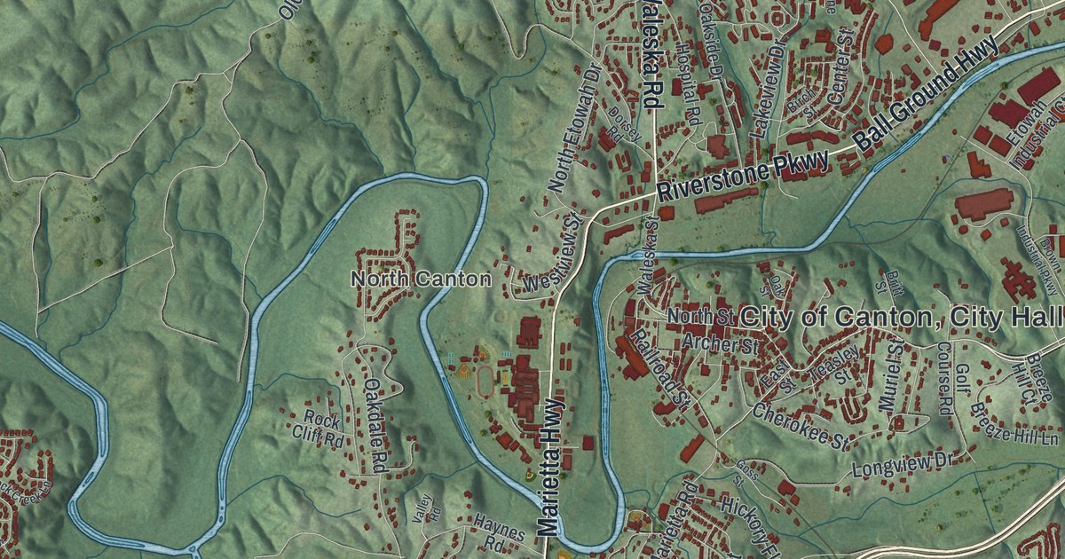
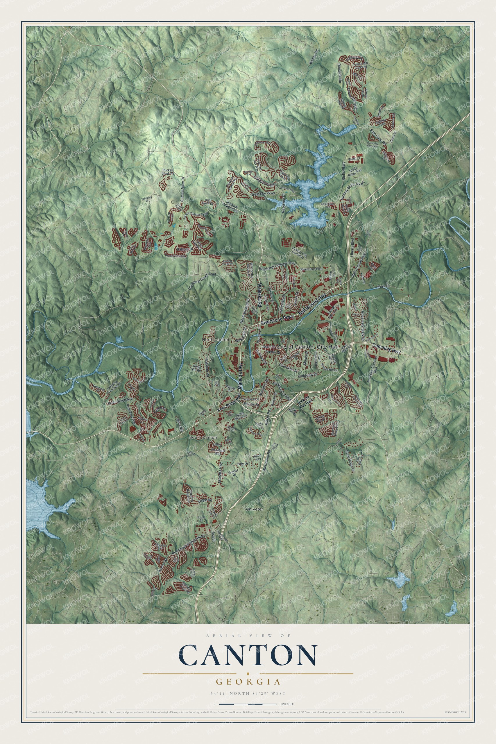
This beautifully detailed map of Canton, Georgia was created in 2026 using aerial imagery combined with modern topographical, census, street and landmark data. It’s a one-of-a-kind view of Canton that combines accurate data with a vintage aesthetic. The map shows every building in its true location, many of the roads carry their names, and the shaded topographic relief shows the shape of the land.
Explore an aerial view of Canton, Georgia
On the map you’ll find South Canton, North Canton, and Univeter, along with Ball Ground Highway, Riverstone Parkway, Waleska Road, Cumming Highway, Marietta Highway, and more. If you look closely you can even find your house accurately drawn in its correct location. Zoom in on the preview to look for yours.
Did You Know?
Canton was incorporated in 1833 under the name Etowah. A year later it was renamed for the Chinese city of Canton. Two leading settlers of 1831 had tried raising silk there, and the trade thrived for a short time. The town stayed small until the railroad arrived in 1879. That’s from the 1940 WPA guide to Georgia.
Take a closer look at the Canton map
Names on this map
These names are printed on this map.
Places: South Canton, North Canton, Univeter and Hickory Log Cemetery.
Streets and roads: Ball Ground Highway, Riverstone Parkway, Waleska Road, Cumming Highway, Marietta Highway, North Street, Fate Conn Road, Ash Street, Bluffs Parkway, Great Sky Parkway, Prominence Point Parkway, River Green Avenue.
More street names, A to Z
Archer Street, Balsam Drive, Bells Ferry Road, Bill Smith Drive, Birch Street, Birchwood Drive, Bluffs Court, Bluffs Ridge Way, Bluffs View Lane, Breeze Hill Court, Breeze Hill Lane, Brick Mill Road, Britt Street, Brooks Drive, Brown Industrial Parkway, Cartersville Street, Celebration Song, Center Street, Cherokee Overlook Drive, Cherokee Street, Creekside Pass, Crescent Moon Way, Crested Hawk Ridge, Denali Butte, Diamond Ridge Avenue, Diana Drive, Dorsey Road, Drury Lane, East Main Street, East Street, Etowah Industrial Court, Fountain Oak Way, Generals Place, Godfrey Trail, Golf Course Road, Goss Street, Governors Walk Drive, Greenbrier Way, Haynes Road, Heard Drive, Hemlock Trail, Heritage Circle, Hickory Bluffs Parkway, Hickory Flat Highway, Hidden Lake Circle, High Point Drive, Hillcrest Lane, Hilton Way, Holly Springs Parkway, Holy Hill Road, Horizon Trail, Hospital Road, Ilex Drive, India Lane, Ivey Drive, Jackie Moore Lane, Keeter Road, Keith Drive, Killian Road, Killian Street, Knox Bridge Highway, Lakeside Overlook Drive, Lakeview Drive, Laurel Canyon Parkway, Laurel Crossing, Laurel Glory Road, Laurel Overlook, Laurel Street, Laurel Vista Drive, Laurel Vw, Lauren Lane, Lawson Drive, Lee Trail, Legend Creek Drive, Leyland Drive, Liberty Boulevard, Longview Drive, Marietta Road, Market Lane, Matthew Drive, McCollum Road, McLain Street, Midway Avenue, Milton Drive, Misty Way, Moose Loop, Morris Hill Drive, Mountain Vista Boulevard, Muriel Street, North Etowah Drive, Northside-Cherokee Boulevard, Northside Parkway, Oakdale Road, Oakside Drive, Oak Street, Oakview Drive, Ocean Avenue, Old Shoal Creek Trail, Orchid Lane, Overlook Trail, Patti Place, Puckett Creek Drive, Puckett Creek Road, Putnam Drive, Quincy Place, Railroad Street, Reinhardt College Parkway, Reservior Drive, Rex Lane, Ridge Road, River Bend Way, Riverstone Boulevard, Riverstone Place, River Terrace, Rock Cliff Road, Rock Creek Lane, Roland Drive, Rolling Hills Place, Rose Ridge Court, Rose Ridge Drive, Sky High Trail, Spring Hill Drive, Springs Crossing, Srargaze Ridge, Sublime Trail, Summit Drive, Summit View Court, Sunset Drive, Sunshower Ridge, Talcmine Drive, Teasley Street, Technology Ridge Parkway, Towering Peaks, Towne Mill Avenue, Towne Mill Crossing, Transit Avenue, Travis Tritt Lane, Valdosta Drive, Valley Road, Village Drive, Waleska Street, Waterstone Trail, Westview Street, Whispering Woods Drive, Wildflower Circle, Winder Trail, Woodbury Lane, Woodland Way, Woodridge Pass, Worley Road, York Drive.
See it on a wall
The Canton map as a framed print. Swipe for more.


This beautifully detailed map of Canton makes an attractive addition to your office, library, or den, and it can even be used to teach children the geography and history of the area. It also makes a great gift for anyone with Canton roots. When you’re done exploring, click here to get your copy of the Canton map.