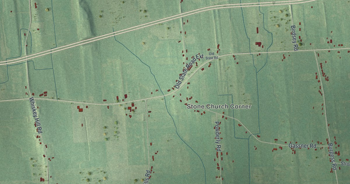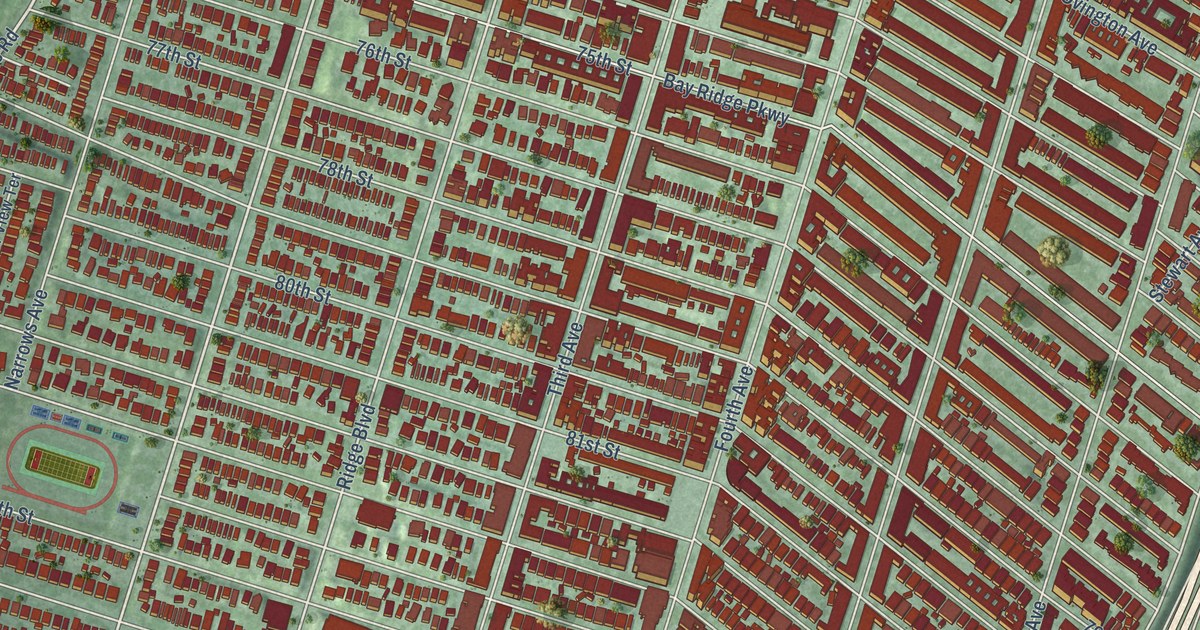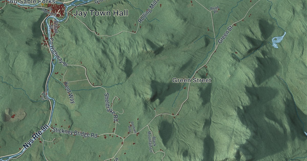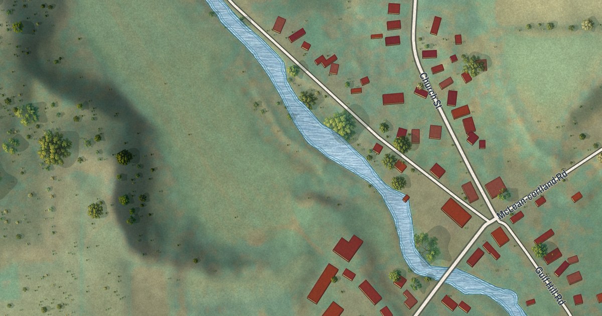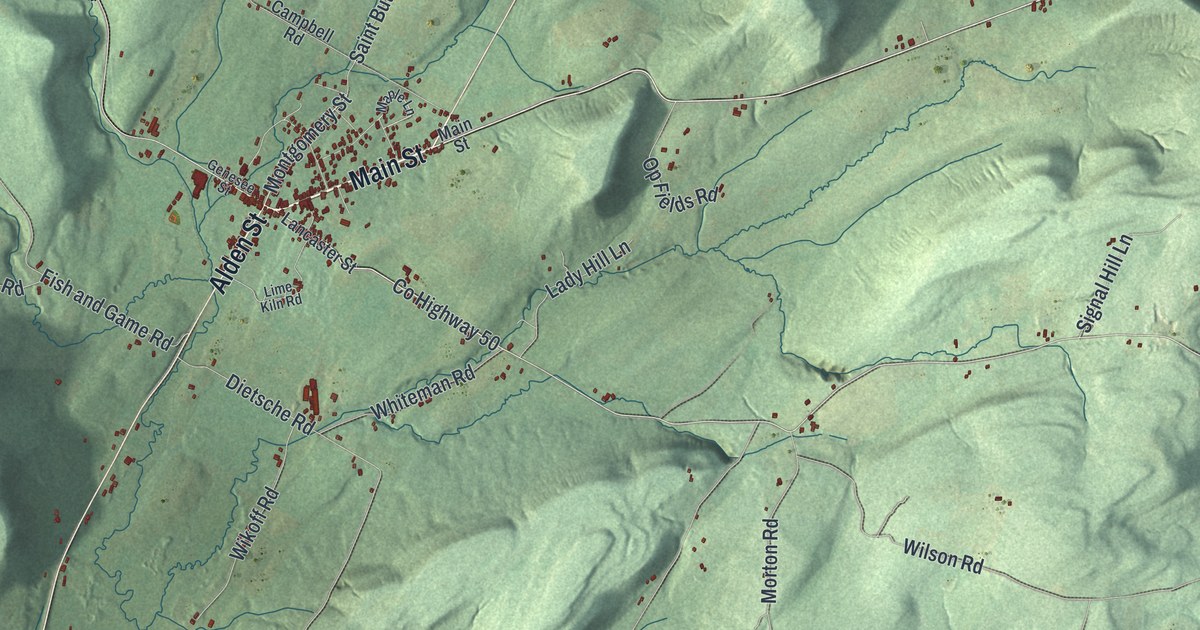
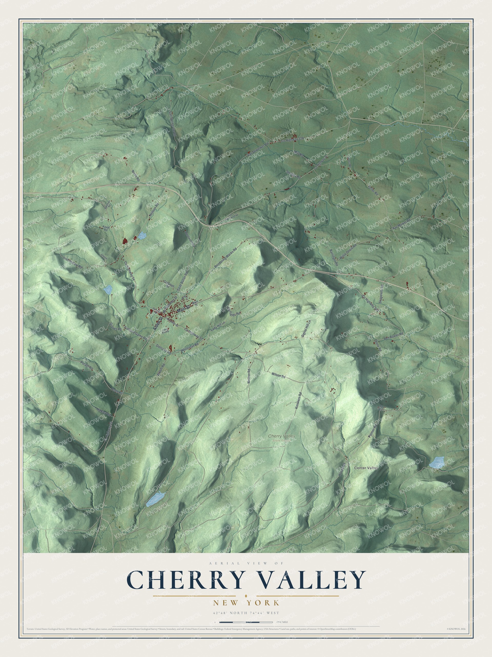
This beautifully detailed map of Cherry Valley, New York was created in 2026 using aerial imagery combined with modern topographical, census, street and landmark data. It’s a one-of-a-kind view of Cherry Valley that combines accurate data with a vintage aesthetic. The map shows every building in its true location, many of the roads carry their names, and the shaded topographic relief shows the shape of the land.
Explore an aerial view of Cherry Valley, New York
On the map you’ll find Center Valley, along with Main Street, Alden Street, Skopeletti Road, Keller Road, Palmer Road, and more. If you look closely you can even find your house accurately drawn in its correct location. Zoom in on the preview to look for yours.
Did You Know?
John Lindesay received a land grant here from King George II and moved in 1739. A year later, seven Anglo-Scottish families from New Hampshire joined him. Heavy snow nearly ended the young settlement. Local natives brought food that saved it.
Take a closer look at the Cherry Valley map
Names on this map
These names are printed on this map.
Places: Center Valley and Cherry Valley State Forest.
Streets and roads: Main Street, Alden Street, Skopeletti Road, Keller Road, Palmer Road, Montgomery Street, Hone Road, County Highway 50, Porath Road, Ben Baxter Road, Proth Road, Ray Mower Road.
More street names, A to Z
Barringer Road, Campbell Road, County Highway 32, County Highway 33, County Highway 54, Dietsche Road, Dykeman Road, Emerald Lane, Fish and Game Road, Genesee Street, Graves Road, Gross Road, Hinkley Road, Hoose Road, Irish Hollow Road, Kniskern Road, Kovac Road, Lady Hill Lane, Lancaster Street, Lime Kiln Road, Maple Lane, Mill Road, Morton Road, Neilson Road, North Road, Op Fields Road, Pd 343, Rendering Works Road, Saint Butler Road, Salt Springville Road, Shulgay Road, Signal Hill Lane, Van Dewerker Road, Van Valkenburgh Road, Wentworth Road, Whiteman Road, Wikoff Road, Willie Oneill Road, Wilson Road.
See it on a wall
The Cherry Valley map as a framed print. Swipe for more.


This beautifully detailed map of Cherry Valley makes an attractive addition to your office, library, or den, and it can even be used to teach children the geography and history of the area. It also makes a great gift for someone who left Cherry Valley and still calls it home. When you’re done exploring, click here to get your copy of the Cherry Valley map.