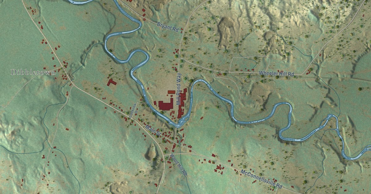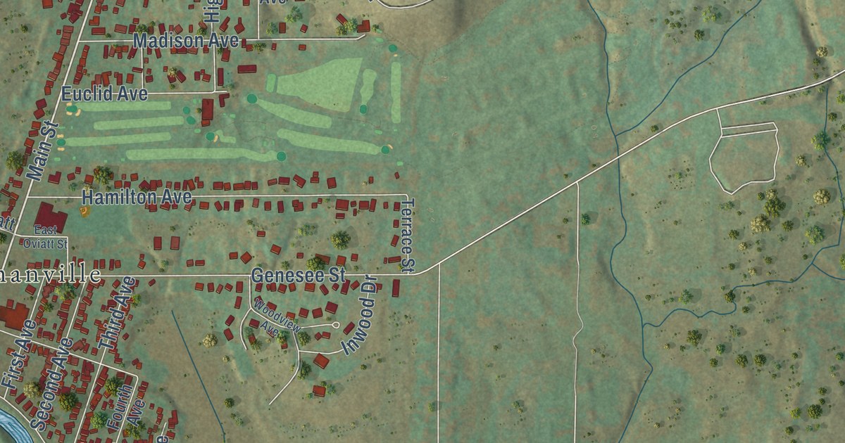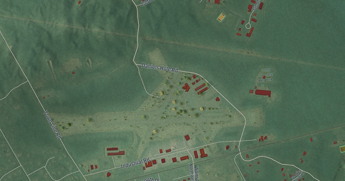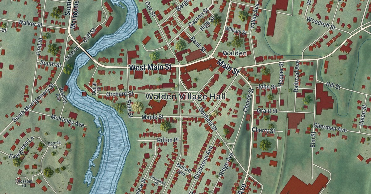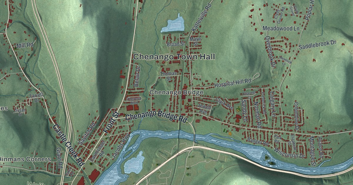
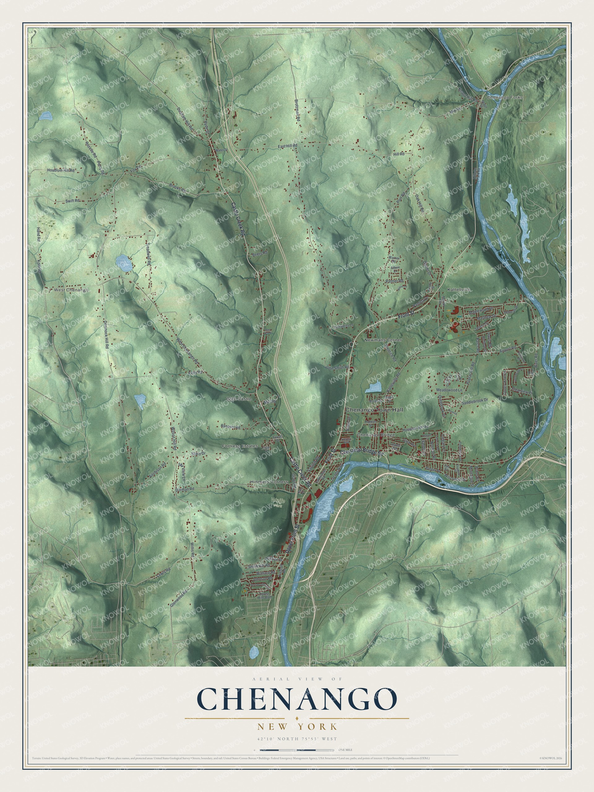
This beautifully detailed map of Chenango, New York was created in 2026 using aerial imagery combined with modern topographical, census, street and landmark data. It’s a one-of-a-kind view of Chenango that combines accurate data with a vintage aesthetic. The map shows every building in its true location, many of the roads carry their names, and the shaded topographic relief shows the shape of the land.
Explore an aerial view of Chenango, New York
On the map you’ll find Chenango Town Hall, West Chenango, Chenango Forks, Chenango Bridge, Glen Castle, Hinmans Corners, and Wolfe Park, along with Castle Creek Road, Front Street, Upper Front Street, Chenango Bridge Road, and more. If you look closely you can even find your house accurately drawn in its correct location. Zoom in on the preview to look for yours.
Take a closer look at the Chenango map
Names on this map
These names are printed on this map.
Places: Chenango Town Hall, West Chenango, Chenango Forks, Wolfe Park, Chenango Bridge, Fortress Estates, Glen Castle, Hinmans Corners, Kattellville and Newmans Corner.
Streets and roads: Castle Creek Road, Front Street, Upper Front Street, Chenango Bridge Road, Glenwood Road, Lewis Road, Willis Road, River Road, Dorman Road, Treadwell Road, Wisconsin Drive, West Chenango Road.
More street names, A to Z
Airport Road, Aitchison Road, Avalon Road, Badger Road, Baker Road, Beers Road, Belair Drive, Broad Street, Brooks Road, Brotzman Road, Calgary Lane, Carmichael Road, Charmel Drive, Clark Avenue, Clearview Place, Clyde Gruver, Clyde Gruver Road, Columbine Drive, Country Knoll Drive, Daniel Drive, Davis Road, Deborah Drive, Depot Street, Dimmock Hill Road, Dunham Hill Road, East Hill Road, Edelweiss Lane, Edwin Lane, Elizabeth Street, Farrell Drive, Forest Hills Boulevard, Fox Road, Frederick Road, Grant Road, Green Meadow Lane, Hand Road, Hemlock Lane, Hill Road, Hillside Drive, Hoffman Drive, Hospital Hill Road, Houdlum Hill Road, Hyde Street, Jacobs Highway, Jason Drive, Jewell Avenue, John Smith Road, Johnson Road, Kattelville Road, Kelly Road, Knapp Hill Road, Kolb Road, Maplewood Drive, Marian Terrace, Matthew Drive, Maye Street, Meadowood Lane, Mill Road, Mix Road, Montague Street, Norman Road, North Morningside Drive, Oak Hill Road, Overbrook Drive, Palmer Road, Pamela Drive, Park Road, Patch Road, Paul Drive, Pembroke Drive, Penn View Drive, Penny Street, Perry Road, Poplar Hill Road, Port Road, Prentice Road, Prescott Road, Ransom Road, Rozelle Road, Saddlebrook Drive, Sandy Lane, Savitch Road, Sky View Lane, Smith Hill Road, Stacy Drive, Susan Street, Swift Road, Theresa Boulevard, Thomas Street, Wallace Road, Warner Road, Water Street, Willette Park Road, William Road, Wilson Hill Road.
See it on a wall
The Chenango map as a framed print. Swipe for more.


This beautifully detailed map of Chenango makes an attractive addition to your office, library, or den, and it can even be used to teach children the geography and history of the area. It also makes a great gift for someone who left Chenango and still calls it home. When you’re done exploring, click here to get your copy of the Chenango map.