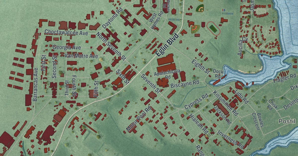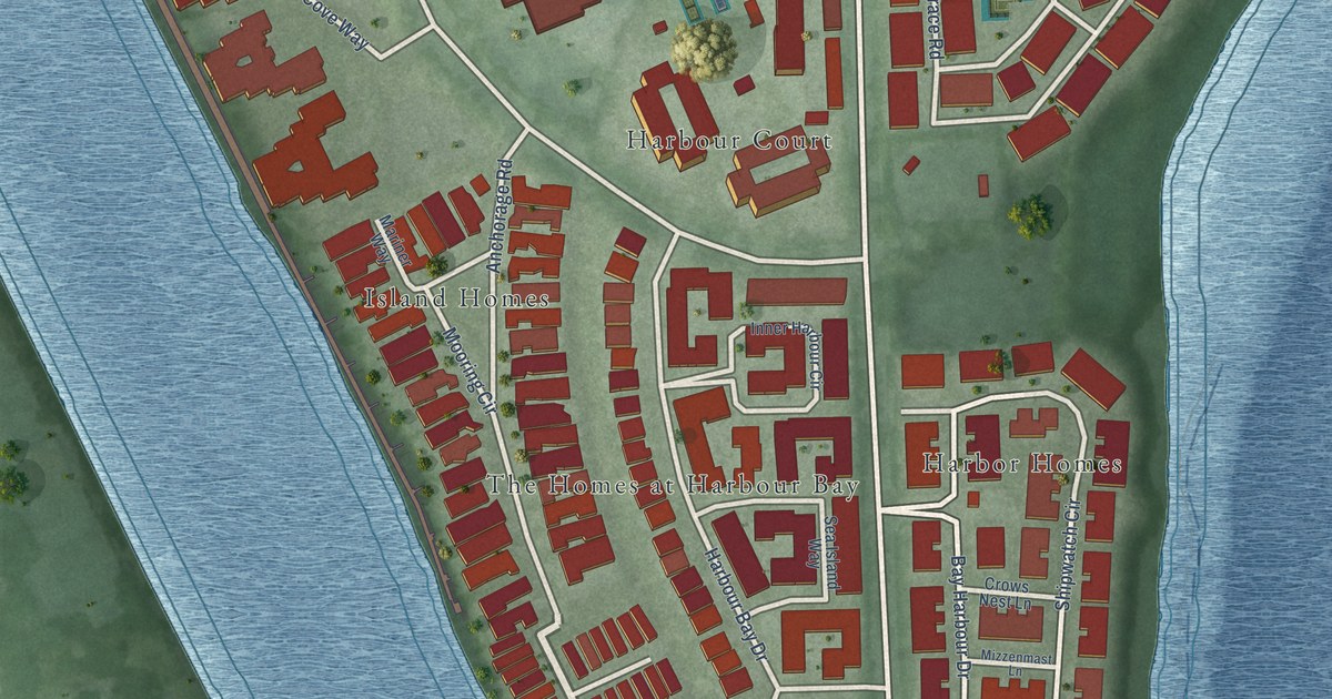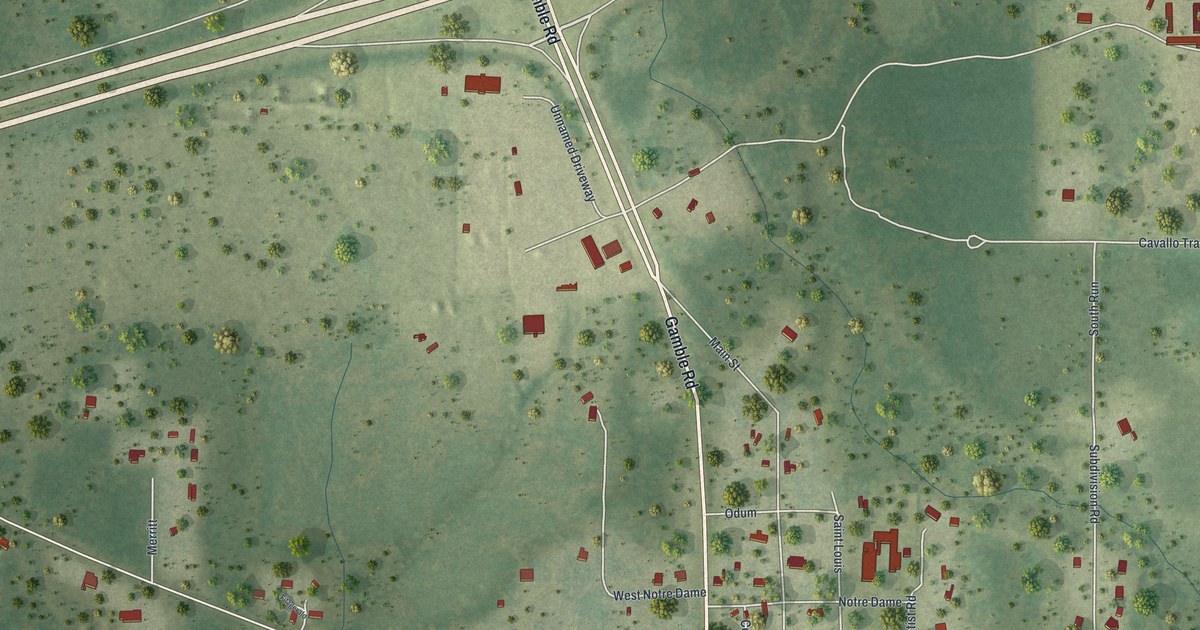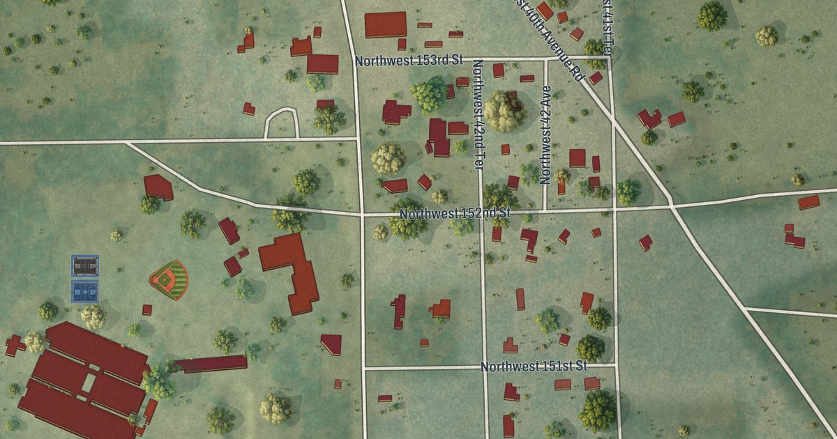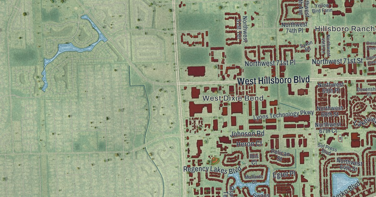
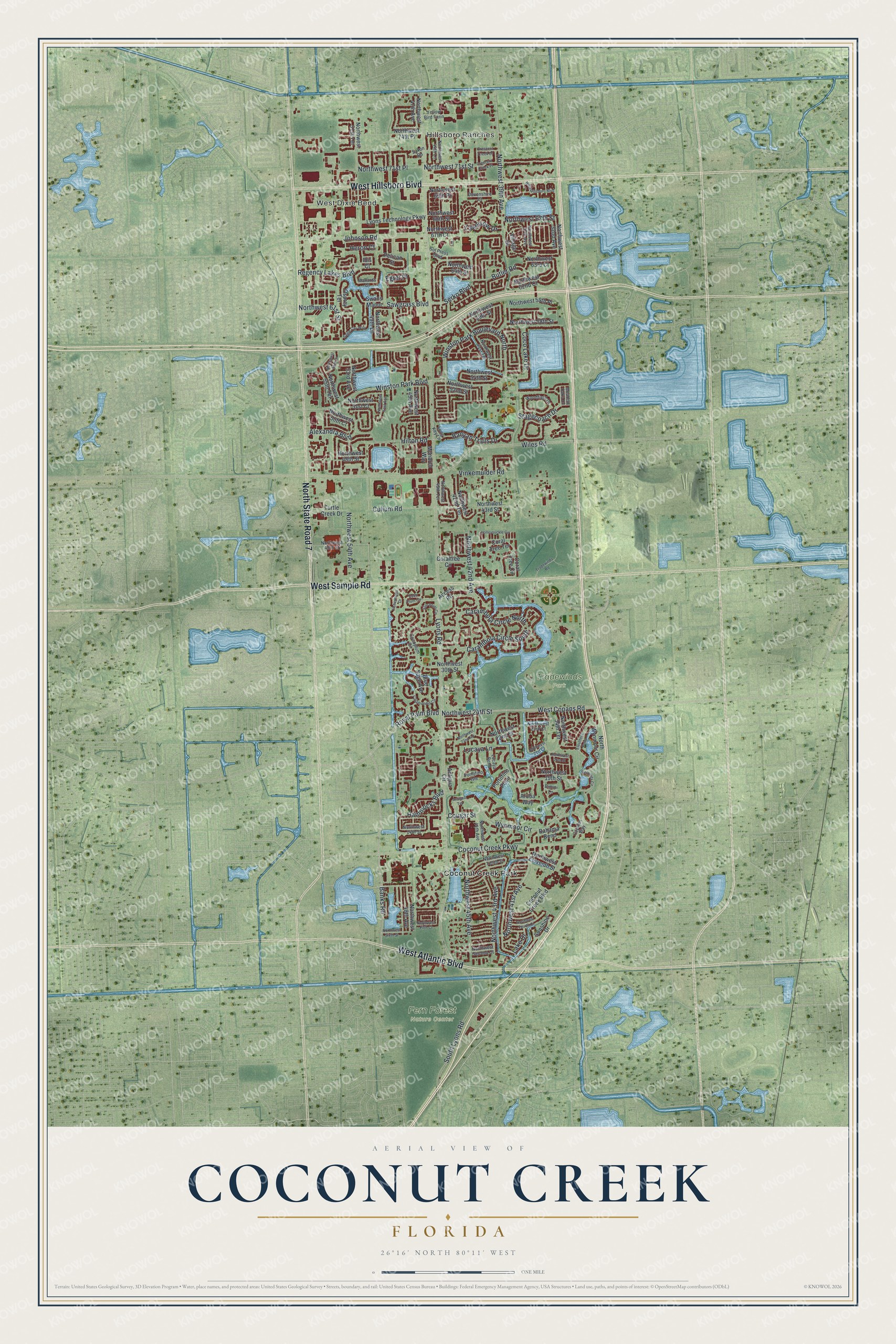
This beautifully detailed map of Coconut Creek, Florida was created in 2026 using aerial imagery combined with modern topographical, census, street and landmark data. It’s a one-of-a-kind view of Coconut Creek that combines accurate data with a vintage aesthetic. The map shows every building in its true location, many of the roads carry their names, and the shaded topographic relief shows the shape of the land.
Explore an aerial view of Coconut Creek, Florida
On the map you’ll find Hillsboro Ranches, West Dixie Bend, Fern Forest Nature Center, Tradewinds Park, Coconut Creek Park, and North State Road 7, along with West Sample Road, West Hillsboro Boulevard, West Atlantic Boulevard, Northwest 43rd Avenue, Serko Boulevard, Banks Road, and more. If you look closely you can even find your house accurately drawn in its correct location. Zoom in on the preview to look for yours.
Did You Know?
Developer Robert E. Bateman named Coconut Creek by joining two Miami-area names, Indian Creek and Coconut Grove. Early developers also planted coconut trees here. Today the city is called the Butterfly Capital of the World. It is home to Butterfly World, the biggest aviary of its kind anywhere.
Take a closer look at the Coconut Creek map
Names on this map
These names are printed on this map.
Places: Hillsboro Ranches, West Dixie Bend, Fern Forest Nature Center, Tradewinds Park and Coconut Creek Park.
Streets and roads: West Sample Road, West Hillsboro Boulevard, West Atlantic Boulevard, North State Road 7, Northwest 43rd Avenue, Serko Boulevard, Banks Road, Northwest 41st Avenue, Northwest 45th Avenue, Sawgrass Boulevard, Hammocks Boulevard, Lyons Road.
More street names, A to Z
Access Road, Alexandra Boulevard, Antigua Circle, Antigua Terrace, Aruba Way, Bahama Bend, Banyan Trails Drive, Bermuda Circle, Bimini Lane, Blue Sage Avenue, Butler Road, Calamondin Circle, Carambola Circle North, Carambola Circle South, Cayman Way, Coco Lake Drive, Coconut Creek Boulevard, Coconut Creek Parkway, Cocoplum Circle, Coco Plum Circle, Coral Tree Circle, Coraltree Circle, Coral Tree Terrace, Cougar Street, Crescent Creek Drive, Crescent Creek Place, Cullum Road, Devenshire Court, Eagle Cay Way, Egret Place, Eleuthera Point, Fishermans Drive, Heron Court, Hilton Road, Honeysuckle Circle, Ibis Court, Johnson Road, Lake Drive, Lakeview Drive, Long Key Lane, Lucaya Bend, Lucaya Lane, Lyons Technology Parkway, Mallards Court, Meadow Oaks Drive, Monarch Way, Northwest 14th Street, Northwest 19th Street, Northwest 21st Court, Northwest 21st Street, Northwest 22nd Road, Northwest 22nd Street, Northwest 23rd Court, Northwest 24th Street, Northwest 30th Street, Northwest 32nd Avenue, Northwest 34th Terrace, Northwest 37th Avenue, Northwest 39th Avenue, Northwest 40th Street, Northwest 41st Terrace, Northwest 42nd Avenue, Northwest 42nd Terrace, Northwest 43rd Street, Northwest 44th Avenue, Northwest 44th Lane, Northwest 45th Terrace, Northwest 47th Avenue, Northwest 48th Avenue, Northwest 48th Street, Northwest 49th Avenue, Northwest 49th Lane, Northwest 50th Court, Northwest 51st Avenue, Northwest 51st Court, Northwest 51st Terrace, Northwest 52nd Street, Northwest 53rd Avenue, Northwest 54th Avenue, Northwest 54th Street, Northwest 55th Drive, Northwest 55th Terrace, Northwest 58th Street, Northwest 59th Place, Northwest 59th Street, Northwest 61st Street, Northwest 62nd Court, Northwest 63rd Court, Northwest 64th Street, Northwest 67th Court, Northwest 67th Street, Northwest 68th Street, Northwest 69th Place, Northwest 71st Place, Northwest 71st Street, Northwest 74th Place, Northwest Eleventh Street, Northwest Fifth Court, Northwest Fourth Court, Northwest Second Court, Northwest Sixth Street, Northwest Tenth Street, North Wynmoor Circle, Osprey Terrace, Pelican Street, Portofino Isle, Portofino Point, Regency Lakes Boulevard, Royal Palm Boulevard, Saxon Road, Sol Press Boulevard, South Lyons Road, Stagecoach Drive, Star Point Circle, Sunshine Drive, Swans Manor, Tradewinds Road, Turtle Creek Drive, Village Drive, Vinkemulder Road, West Copans Road, Wiles Road, Winston Park Boulevard, Winston Park Boulevard North, Woodfield Drive, Wynmoor Circle, Yellow Bird Farin.
See it on a wall
The Coconut Creek map as a framed print. Swipe for more.


This beautifully detailed map of Coconut Creek makes an attractive addition to your office, library, or den, and it can even be used to teach children the geography and history of the area. It also makes a great gift for anyone who grew up in Coconut Creek or moved away. When you’re done exploring, click here to get your copy of the Coconut Creek map.