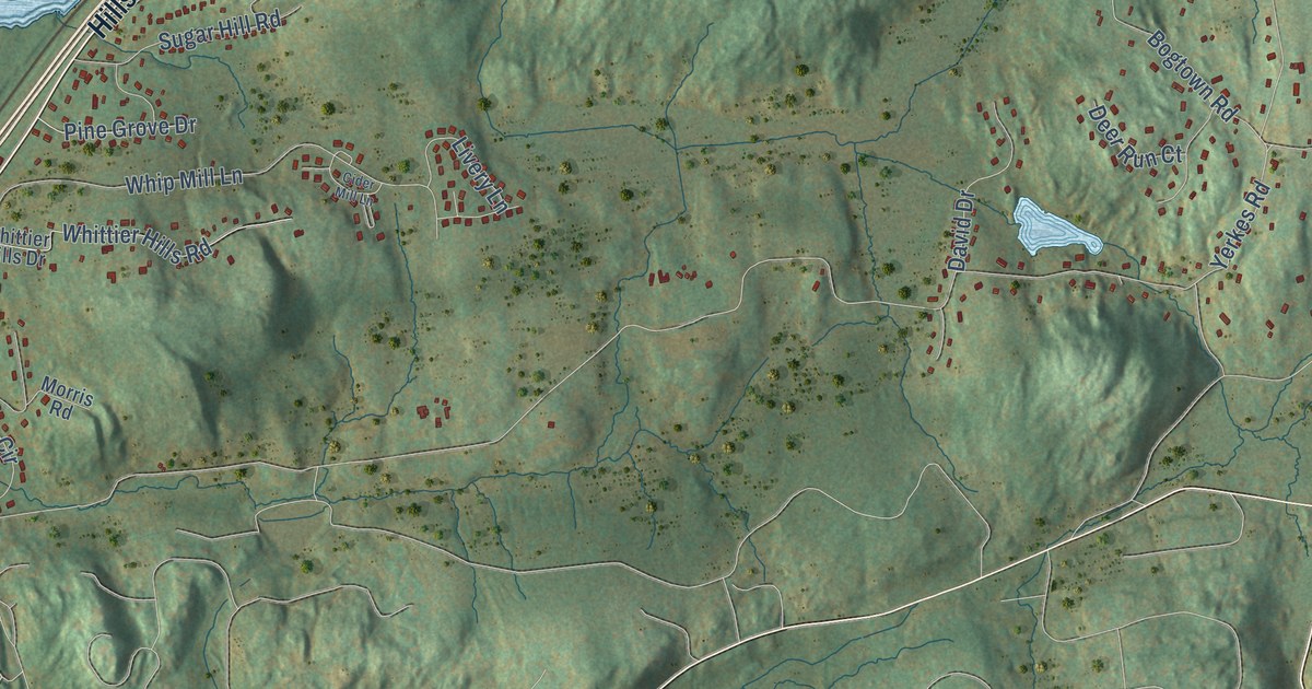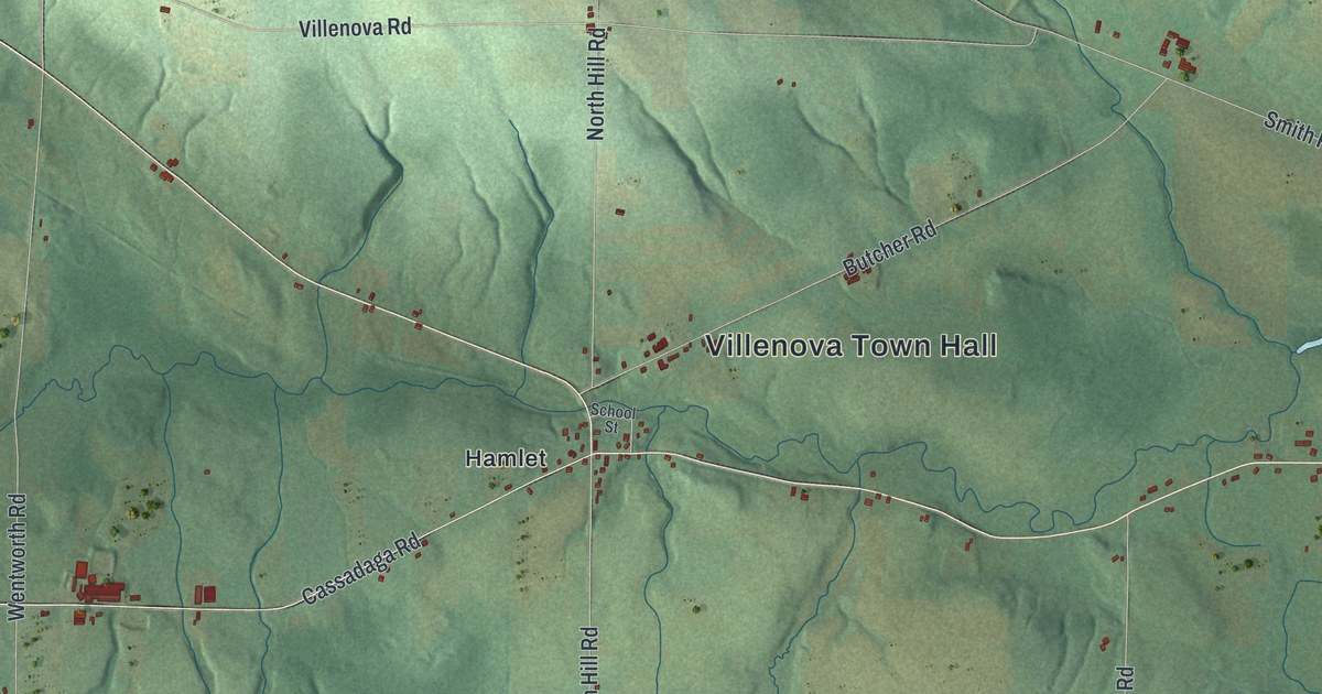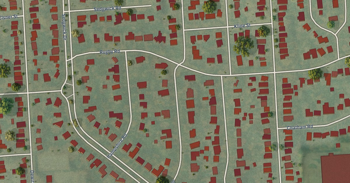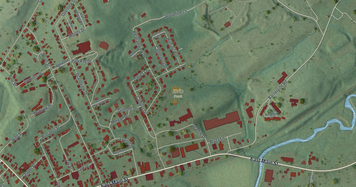
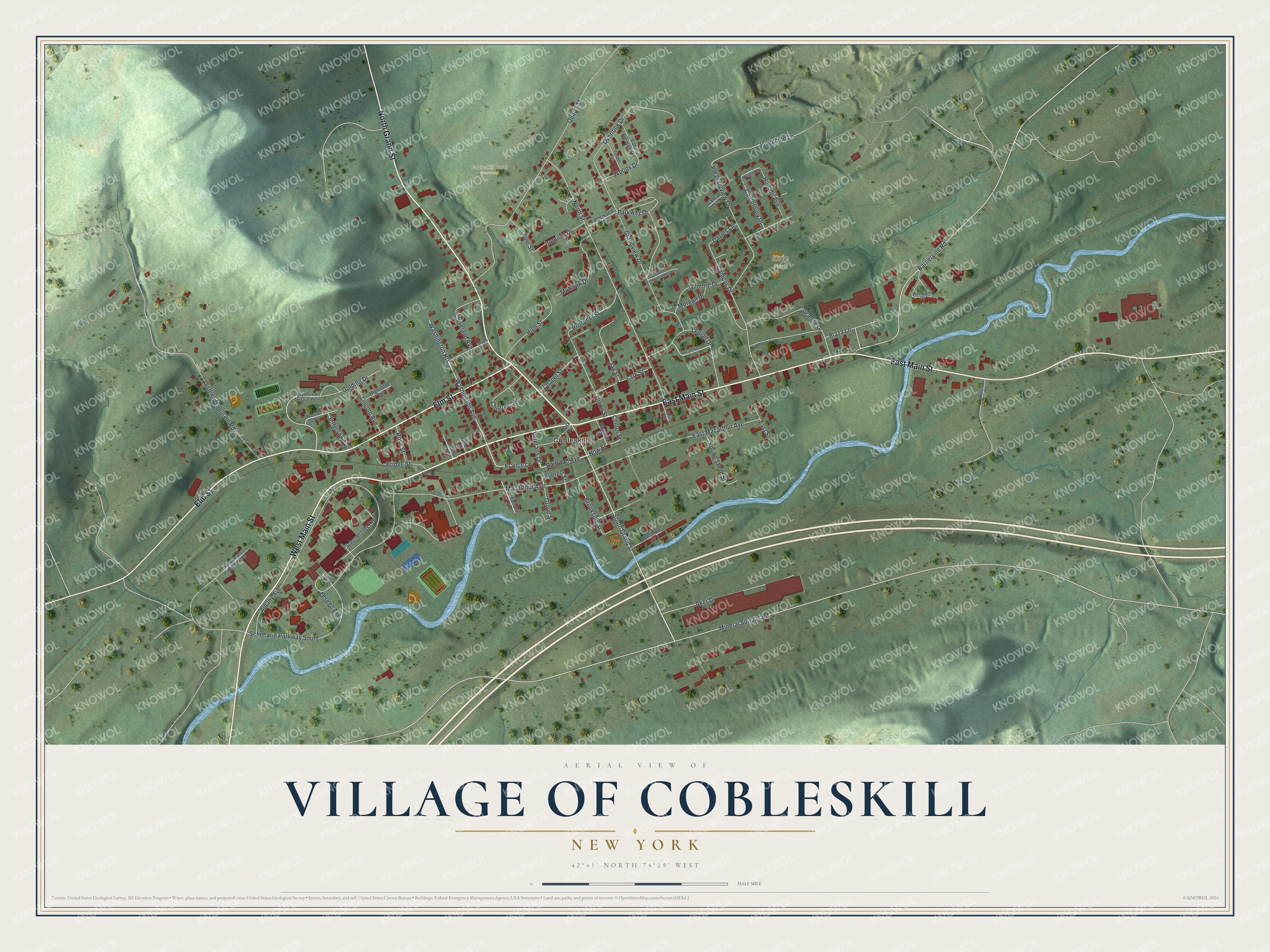
This beautifully detailed map of the Village of Cobleskill, New York was created in 2026 using aerial imagery combined with modern topographical, census, street and landmark data. It’s a one-of-a-kind view of the Village of Cobleskill that combines accurate data with a vintage aesthetic. The map shows every building in its true location, many of the roads carry their names, and the shaded topographic relief shows the shape of the land.
Explore an aerial view of the Village of Cobleskill, New York
On the map you’ll find Cobleskill Rural Cemetery and Iorio Park, along with Main Street, Grand Street, Elm Street, Railroad Avenue, Now Street, and more. If you look closely you can even find your house accurately drawn in its correct location. Zoom in on the preview to look for yours.
Did You Know?
Settlers arrived here in 1752. A German grist miller named Jacob Kobel built a mill on the local creek. Kill is the Dutch word for a creek. So the place became Cobleskill, meaning Kobel’s creek.
Take a closer look at the Village of Cobleskill map
Names on this map
These names are printed on this map.
Places: Cobleskill Rural Cemetery, Iorio Park and Cobleskill.
Streets and roads: East Main Street, West Main Street, North Grand Street, Elm Street, Railroad Avenue, Now Street, Grove Street, South Grand Street, France Lane, Aker Drive, Washington Avenue, Plaza Lane.
More street names, A to Z
Albany Avenue, Barnerville Road, Bridge Street, Brookside Street, Campus Drive, Canterbury Drive, Center Street, Chapel Street, Cleveland Avenue, Clinton Circle, Davies Lane, Division Street, East Macarthur Avenue, East Street, Everett Street, Forester Road, Gale Drive, Gilmore Drive, Golding Drive, Grandview Drive, Grandview Terrace West, Granite Drive, Harder Avenue, Hidden Lane, Highland Terrace, High Street, Hillside Avenue, Iroquois Drive, Jay Street, Jefferson Avenue, Josephine Lane, Lark Street, Legion Drive, Lincoln Avenue, Macarthur Avenue, Madison Terrace, Mallard Lane, Maple Road, Mineral Springs Road, Mohawk Drive, Morgan Drive, North Street, Otsego Avenue, Overlook Drive, Park Place, Parkway Drive, Pine Street, Pleasantview Drive, Prospect Street, Quarry Street, Ridgewood Drive, Rose Street, Saint Christopher Place, Schenectady Avenue, Schoharie Parkway North, Schoharie Parkway South, Settles Mountain Road, Spring Stead Street, Spring Street, Suffolk Circle, Sunshine Drive, Sycamore Lane, Terra Heights Road, Timber Lane, Union Street, Van Deusen Road, Veterans Drive, Washington Heights, Woodland Drive, Woods Drive.
See it on a wall
The Cobleskill map as a framed print. Swipe for more.


This beautifully detailed map of the Village of Cobleskill makes an attractive addition to your office, library, or den, and it can even be used to teach children the geography and history of the area. It also makes a great gift for anyone who grew up in the Village of Cobleskill or moved away. When you’re done exploring, click here to get your copy of the Village of Cobleskill map.