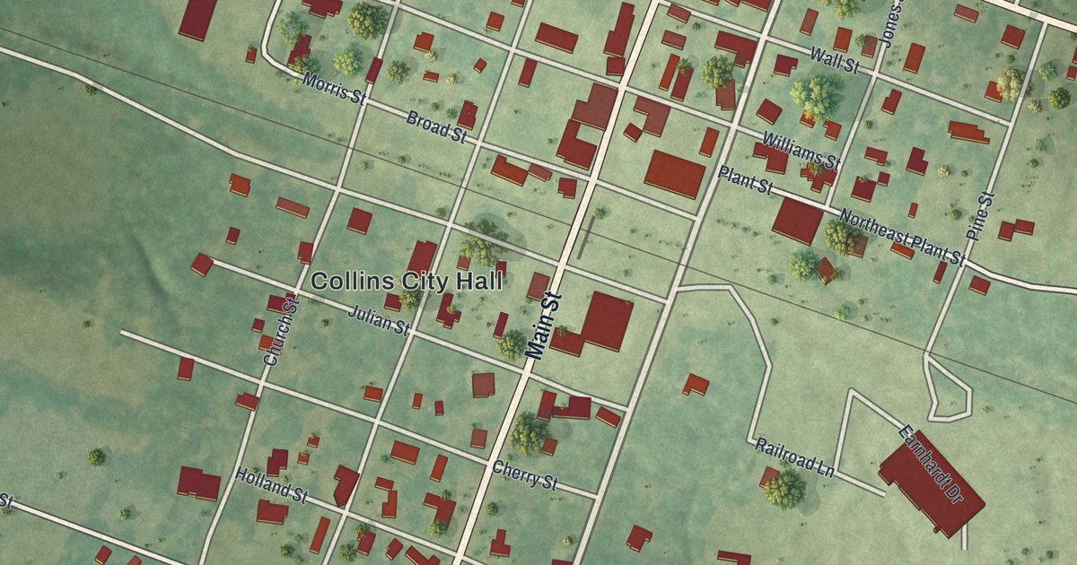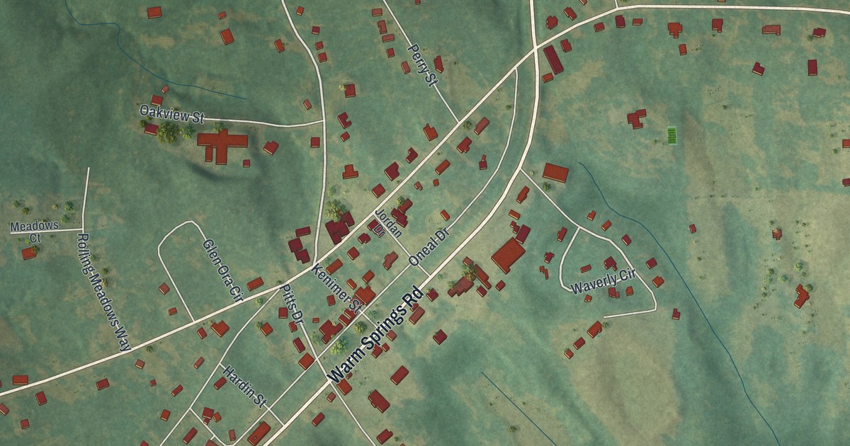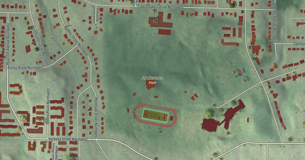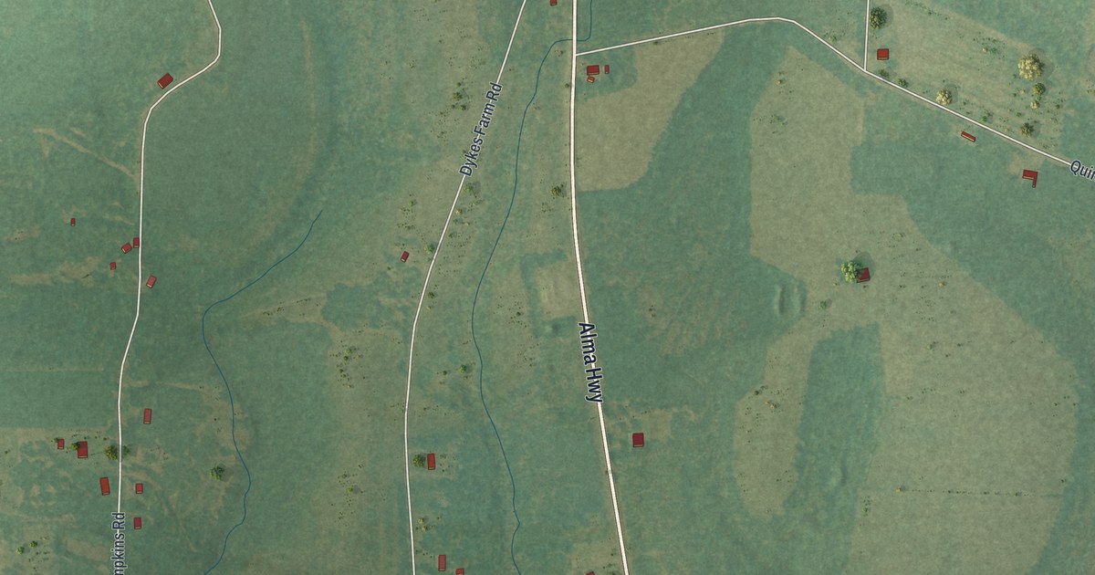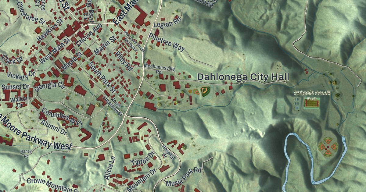
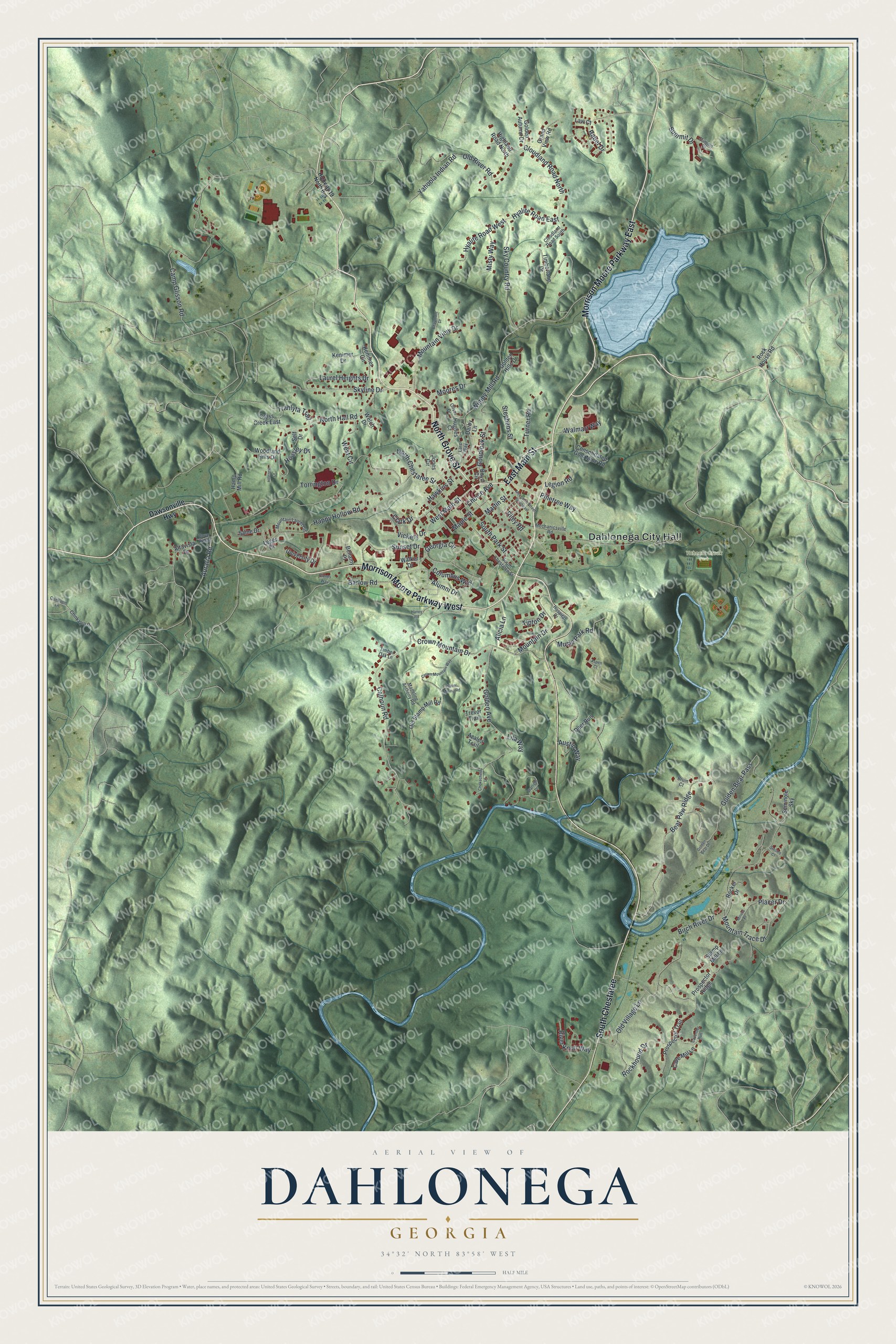
This beautifully detailed map of Dahlonega, Georgia was created in 2026 using aerial imagery combined with modern topographical, census, street and landmark data. It’s a one-of-a-kind view of Dahlonega that combines accurate data with a vintage aesthetic. The map shows every building in its true location, many of the roads carry their names, and the shaded topographic relief shows the shape of the land.
Explore an aerial view of Dahlonega, Georgia
On the map you’ll find Dahlonega City Hall, South Chestatee, and Yahoola Creek Park, along with Main Street, Morrison Moore Parkway, Grove Street, and more. If you look closely you can even find your house accurately drawn in its correct location. Zoom in on the preview to look for yours.
Did You Know?
Dahlonega saw the second major gold rush in America, starting in 1829. In 1849, miners here thought about leaving for California. Dr. Matthew Stephenson, the local mint assayer, pointed from the courthouse balcony at a nearby ridge and urged them to stay. His words later became the saying about gold in them thar hills.
Take a closer look at the Dahlonega map
Names on this map
These names are printed on this map.
Places: Dahlonega City Hall and Yahoola Creek Park.
Streets and roads: East Main Street, Morrison Moore Parkway East, North Grove Street, Morrison Moore Parkway West, South Chestatee, West Main Street, Cloudland Road North, Hyalite Road East, Calhoun Road, Placer Drive, Housley Drive, Hawkins Street.
More street names, A to Z
Alicia Lane, Altavista Drive, Alumni Drive, Aspen Court, Auraria Road, Austin Way, Azalea Trail, Barlow Road, Bear Paw Ridge, Beaumont Drive, Bellamy Place, Birch River Drive, Boyd Circle, Bruin Court, Camp Glisson Road, Cave Mill Lane, Cavender Run, Chinkapin Drive, Chinkapin Lane, Choice Avenue, Chokecherry Lane, Clark Drive, Cleves Way, Cloudland Road South, Columbus Way, Consolidated Gold Mine Road, Cross Creek East, Crown Mountain Drive, Crown Mountain Way, Darby Lane, Dawsonville Highway, Deer Run, Dove Ridge, Georgia Circle, Golden Autumn Drive, Golden Avenue, Golden Bear Drive, Golden Bear Pass, Golden Hills Drive, Goudlock Street, Grand View Road, Hamp Mill Road, Haney Road, Happy Hollow Road, Highland Road North, Highway 19 North Bus, Hillcrest Drive, Hospital Drive, Hughes Court, Hyalite Road West, Jones Circle, Kenimer Circle, Kenimer Drive, Larc Way, Laurel Heights Drive, Law Court, Leger Drive, Legion Road, Lila Way, Madeline Anthony Road, Maple Street, Martin Street, Mechanic Street Southeast, Mechanicsville Road, Miners Place, Misty Way, Moores Drive, Mountain Drive, Mountain Laurel Circle, Mountain Trace Drive, Mountain View Drive, Music Park Road, North Chestatee Street, North Hall Road, Old River Road, Old Stamp Mill Road, Old Village Lane, Oliver Drive, Pinetree Way, Placer Mining Road, Prospector Ridge, Prospector Trail, Rabel Drive, Riley Road, River Knoll Way, Rocker Drive, Rockhound Drive, Rock House Road, Saine Drive, Sautee Court, Self Drive, Seminole Sky, Sky Country Road, Skyline Drive, South Chestatee Street, South Park Street, Stamp Mill Lane, Starlight Drive, Stephens Street, Summit Court, Summit Drive, Sunset Drive, Timberlane Drive, Timber Oak Lane, Tipton Drive, Torrington Drive, Trahlyta Trail, Trevor Trail, Turner Road, University Drive, Vickery Drive, Walker Drive, Walmart Way, Welch Drive, West Circle, Wimpy Mill Road, Woodland Hills Drive, Yahoola Indian Road.
See it on a wall
The Dahlonega map as a framed print. Swipe for more.


This beautifully detailed map of Dahlonega makes an attractive addition to your office, library, or den, and it can even be used to teach children the geography and history of the area. It also makes a great gift for anyone with Dahlonega roots. When you’re done exploring, click here to get your copy of the Dahlonega map.