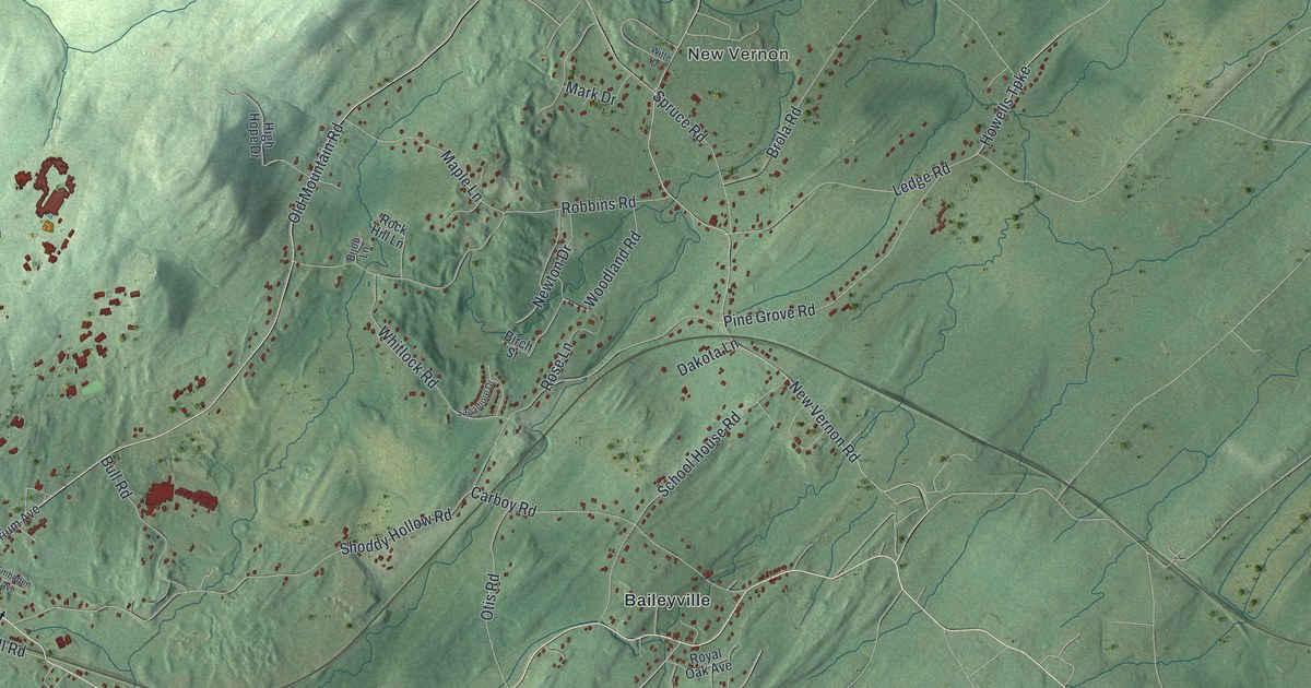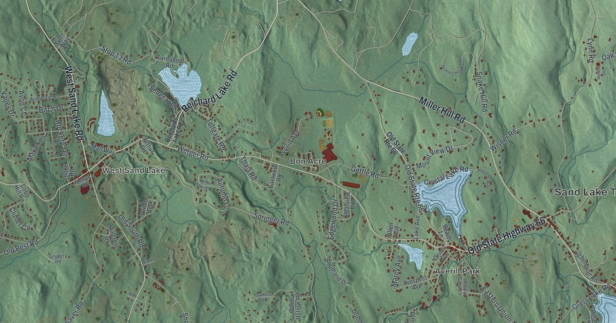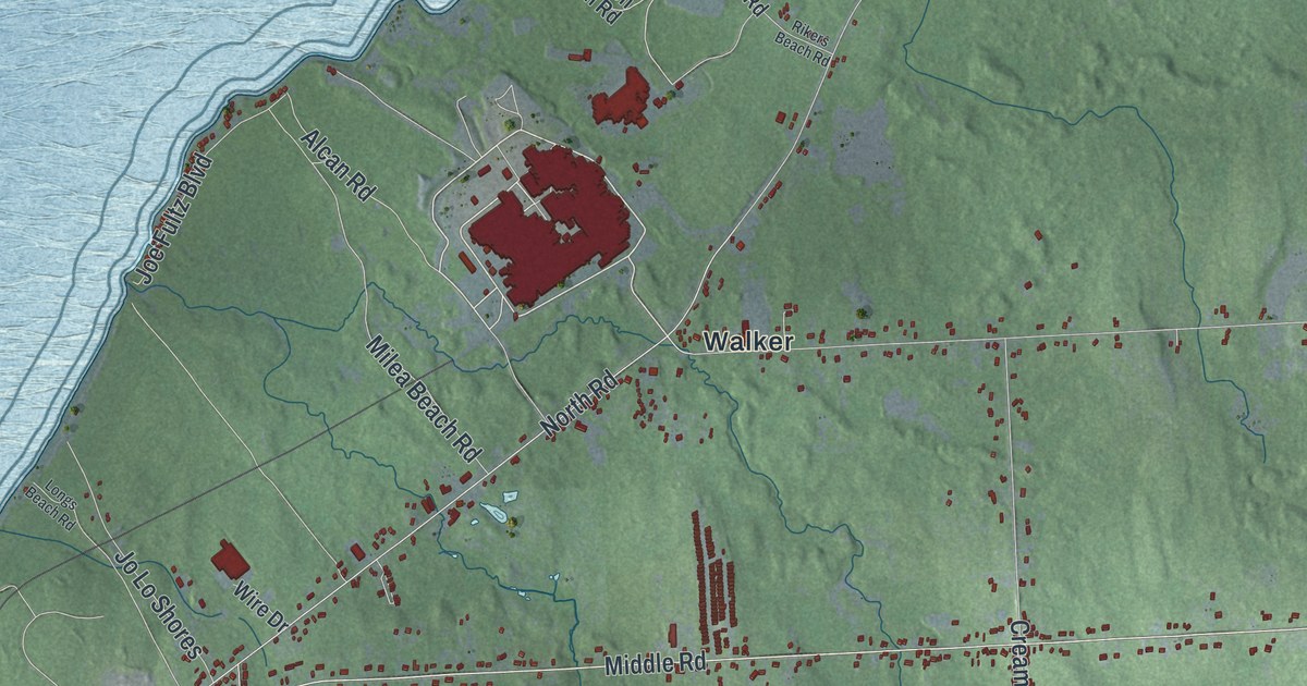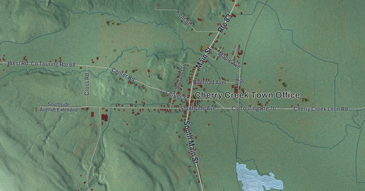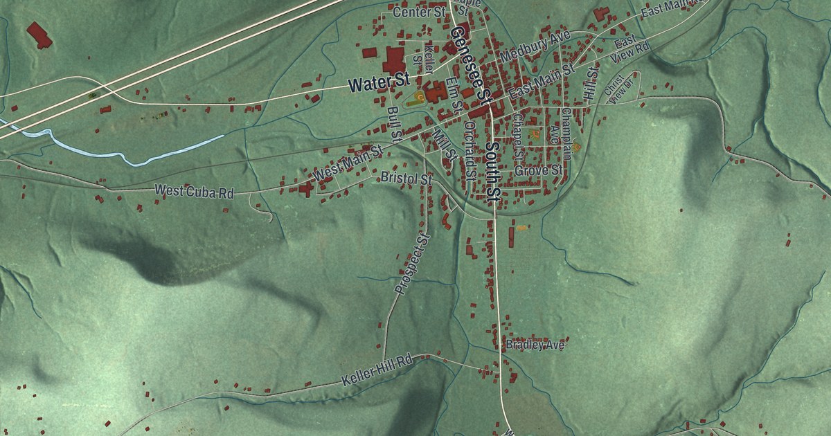
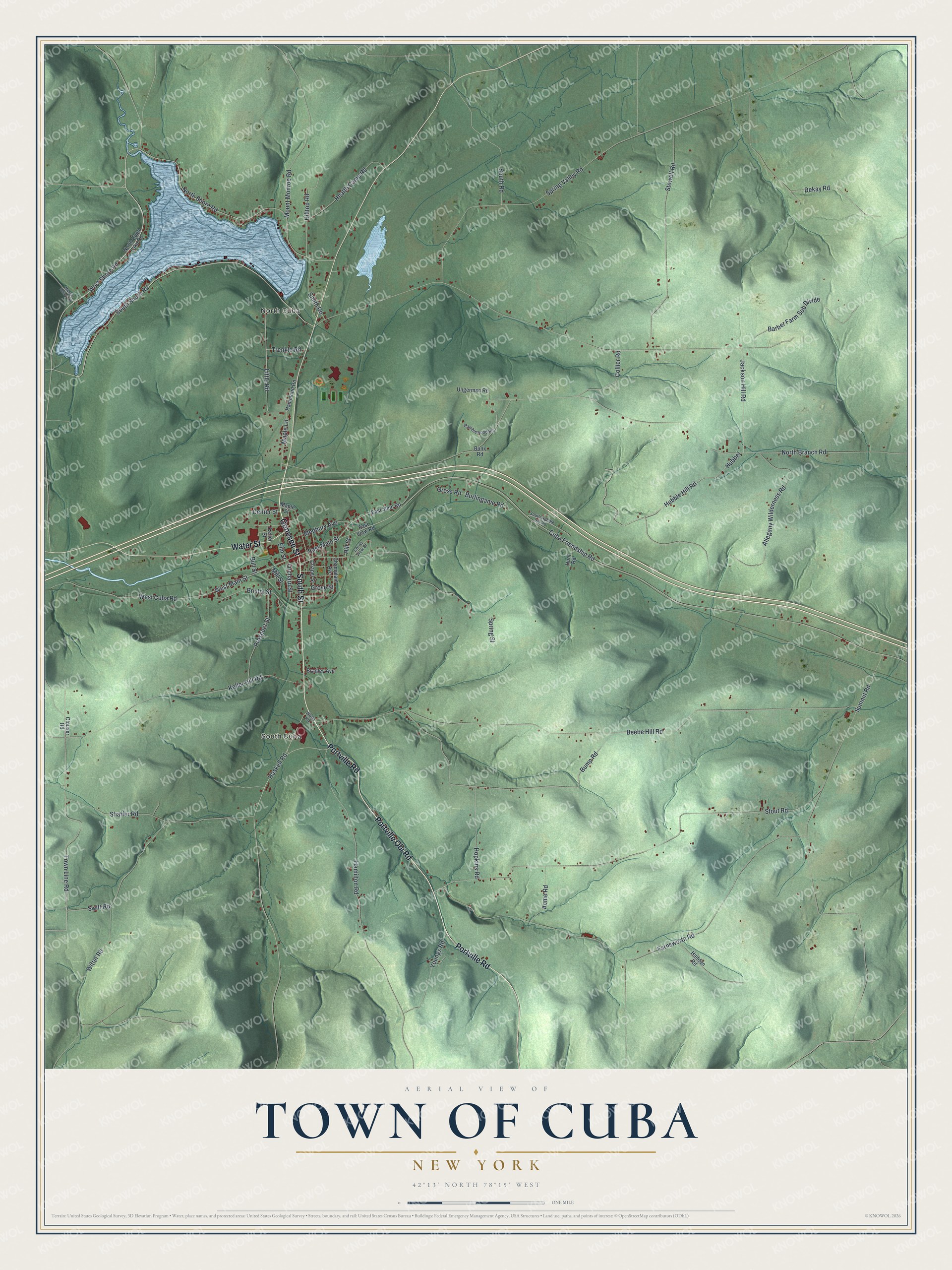
This beautifully detailed map of the Town of Cuba, New York was created in 2026 using aerial imagery combined with modern topographical, census, street and landmark data. It’s a one-of-a-kind view of the Town of Cuba that combines accurate data with a vintage aesthetic. The map shows every building in its true location, many of the roads carry their names, and the shaded topographic relief shows the shape of the land.
Explore an aerial view of the Town of Cuba, New York
On the map you’ll find North Cuba and South Cuba, along with Genesee Street, Portville Obi Road, Portville Road, Water Street, South Street, and more. If you look closely you can even find your house accurately drawn in its correct location. Zoom in on the preview to look for yours.
Did You Know?
The name Cuba did not come from the Caribbean island. It came from Roman myth, where Cuba was a goddess who protected the young. Simeon DeWitt, the state surveyor general and a keen student of Roman myths, is credited with suggesting it. The town was formed in 1822 from part of Friendship.
Take a closer look at the Town of Cuba map
Names on this map
These names are printed on this map.
Places: North Cuba and South Cuba.
Streets and roads: Genesee Street, Portville Obi Road, Portville Road, Water Street, South Street, West Shore Road, East Main Street, West Main Street, Maple Lane, South Shore Road, West Cuba Road, Town Line Road.
More street names, A to Z
Acme Road, Allegany Wilderness Road, Barber Farm Sub Divide, Beebe Hill Road, Bradley Avenue, Bristol Street, Bull Street, Bump Road, Bunk Road, Burlingame Road, Center Street, Champlain Avenue, Chapel Street, Christ View Drive, Clouser Road, Collier Road, Cuba Friendship Road, Dekay Road, East Main Road, East View Road, Elm Street, Farnsworth Road, Gross Road, Grove Street, Hadden Road, Hamilton Road, Hammond Road, Haskell Road, Health Camp Road, Hill Street, Hilltop Road, Hopkins Road, Hubbel, Hubble Hill Road, Hunt Road, Jackson Hill Road, Keller Hill Road, Keller Street, Little Road, Maple Street, Medbury Avenue, Mill Street, Mount Monroe Road, Munger Hollow Road, North Branch Road, North Cuba Lake Road, North Shore Road, Orchard Street, Prospect Street, Ramblewood Road, Shaffer Road, Smith Road, South Hubble Hill Road, South Road, Spring Street, Spring Valley Road, Stout Road, Stowell Road, Summit Road, Swift Road, Trenkle Road, Ungerman Road, Watts Road, Witter Road, Youngs Road.
See it on a wall
The Cuba map as a framed print. Swipe for more.


This beautifully detailed map of the Town of Cuba makes an attractive addition to your office, library, or den, and it can even be used to teach children the geography and history of the area. It also makes a great gift for someone who left the Town of Cuba and still calls it home. When you’re done exploring, click here to get your copy of the Town of Cuba map.