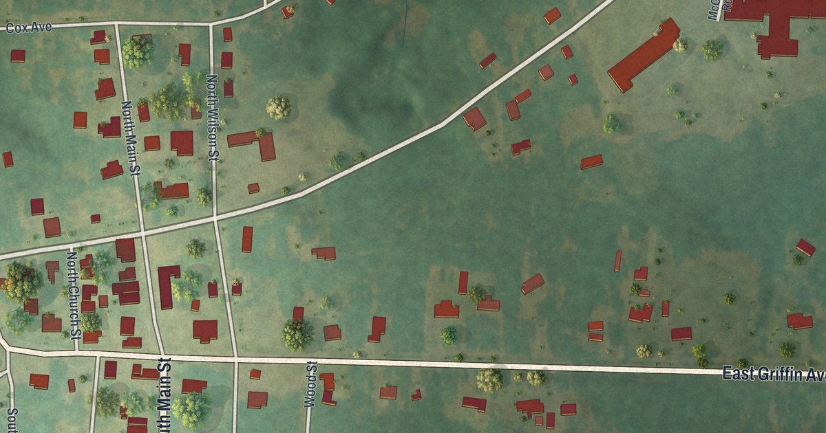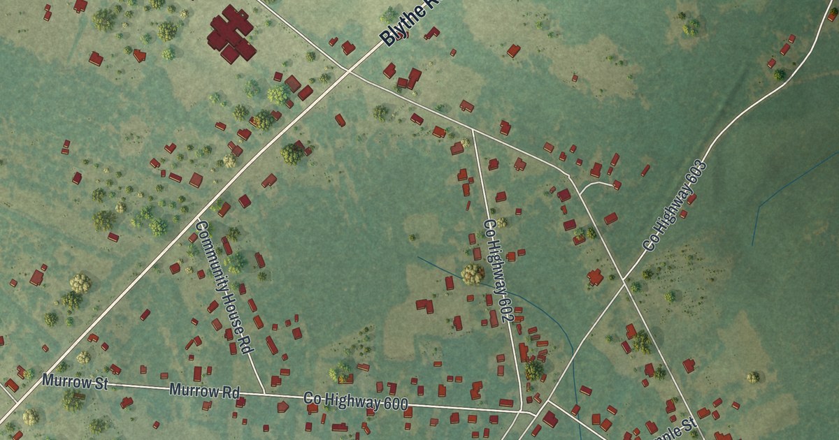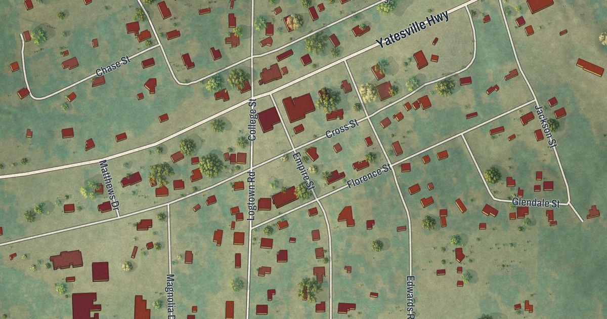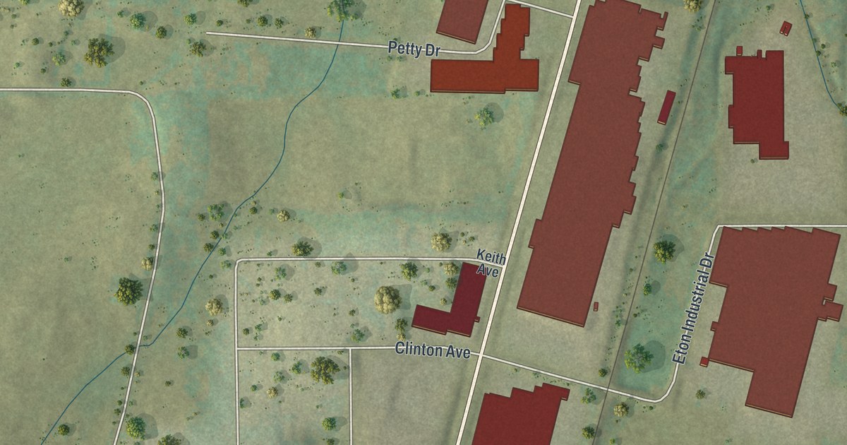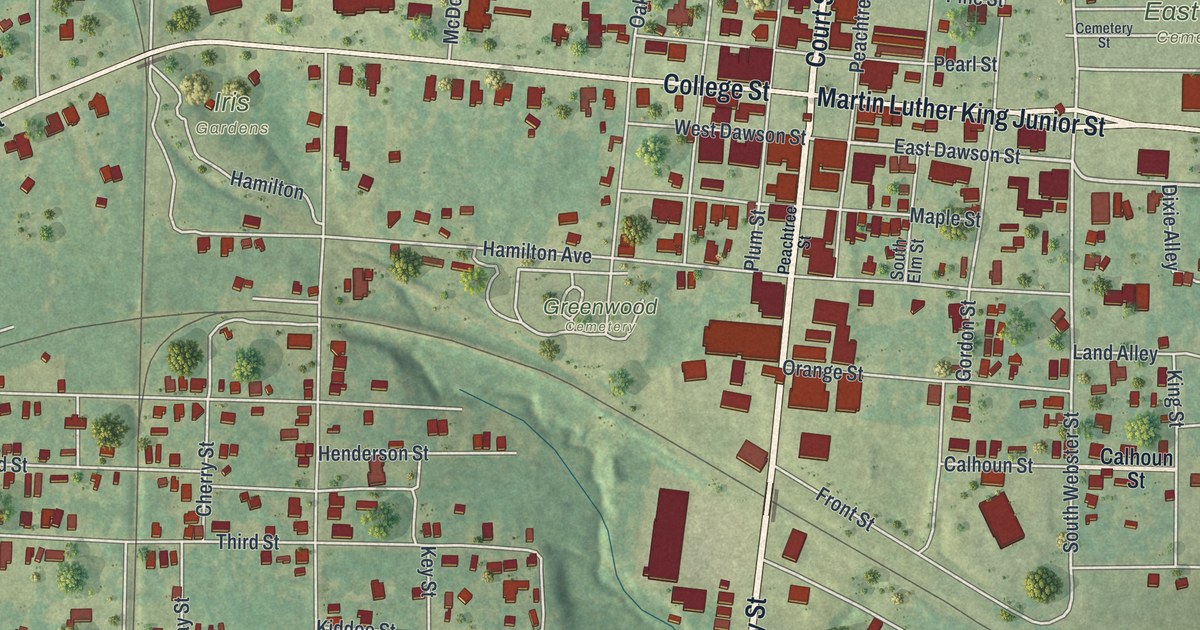
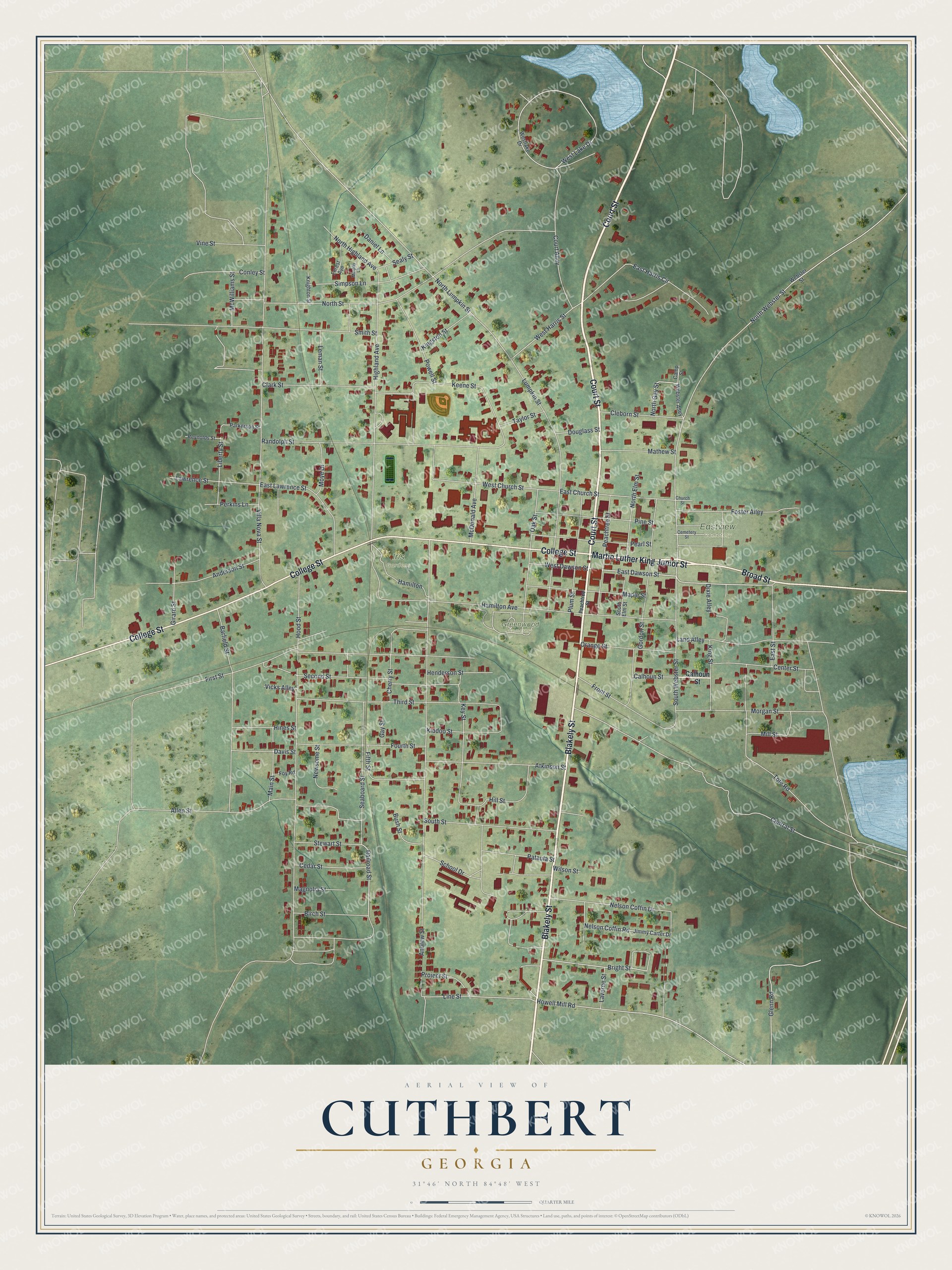
This beautifully detailed map of Cuthbert, Georgia was created in 2026 using aerial imagery combined with modern topographical, census, street and landmark data. It’s a one-of-a-kind view of Cuthbert that combines accurate data with a vintage aesthetic. The map shows every building in its true location, many of the roads carry their names, and the shaded topographic relief shows the shape of the land.
Explore an aerial view of Cuthbert, Georgia
On the map you’ll find Eastview Cemetery, Greenwood Cemetery, and Iris Gardens, along with Court Street, Blakely Street, Broad Street, Martin Luther King Junior Street, College Street, and more. If you look closely you can even find your house accurately drawn in its correct location. Zoom in on the preview to look for yours.
Did You Know?
Cuthbert was founded in 1831 as the seat of the new Randolph County. It took its name from John Alfred Cuthbert, who served Georgia in Congress from 1819 to 1821. The Central of Georgia Railway reached the town in the 1850s and helped carry cotton to market.
Take a closer look at the Cuthbert map
Names on this map
These names are printed on this map.
Places: Eastview Cemetery, Greenwood Cemetery and Iris Gardens.
Streets and roads: Court Street, Blakely Street, Broad Street, Martin Luther King Junior Street, College Street, East Dawson Street, Bright Street, Howell Mill Road, North Lumpkin Street, Line Street, West Harris Street, East Harris Circle.
More street names, A to Z
Allen Street, Anderson Street, Andrew Street, Atkinson Street, Barfield Street, Birch Street, Bush Street, Calhoun Street, Camp Street, Cedar Street, Cemetery Street, Center Street, Central Street, Cherry Street, Church Street, Clark Street, Cleborn Street, Conley Street, Court Alley, Daniel Lane, Davis Street, Dixie Alley, Douglass Street, East Church Street, East Lawrence Street, East Street, Fifth Street, First Street, Forest Avenue, Foster Alley, Fourth Street, Foy Road, Front Street, Gay Street, Girard Street, Glenn Road, Gordon Street, Hamilton, Hamilton Avenue, Henderson Street, Highland Avenue, Hill Street, Hines Street, Hood Street, Jimmy Carter Drive, Keene Street, Key Street, Kiddoo Street, Kingston Street, King Street, Knighton Street, Land Alley, Laverne Street, Lawrence Street, Leman Street, Liberty Street, Lumpkin Street, Magnolia Street, Main Street, Maple Street, Mathew Street, McDonald Avenue, McWilliams Street, Mill Street, Morgan Street, Moye Drive, Murphy Lane, Nelson Coffin Drive, Nelson Coffin Road, Newsome Street, North Elm Street, North Gay Street, North Highland Avenue, North Street, North Webster Street, Oak Street, Orange Street, Parkerson Street, Pataula Street, Peachtree Street, Pearl Street, Perkins Lane, Pine Street, Plum Street, Powell Street, Project Street, Railroad Street, Randolph Street, Reynolds Street, School Drive, Seaboard Street, Sealy Street, Second Street, Simpson Lane, Smith Street, South Elm Street, South Street, South Webster Street, Stewart Street, Taylor Street, Third Street, Tote Road, Vicks Alley, Villa Nova Street, Vine Street, Webster Alley, Webster Street, West Church Street, West Dawson Street, West Lake Drive, Westlake Drive, Wilson Street.
See it on a wall
The Cuthbert map as a framed print. Swipe for more.


This beautifully detailed map of Cuthbert makes an attractive addition to your office, library, or den, and it can even be used to teach children the geography and history of the area. It also makes a great gift for anyone with Cuthbert roots. When you’re done exploring, click here to get your copy of the Cuthbert map.