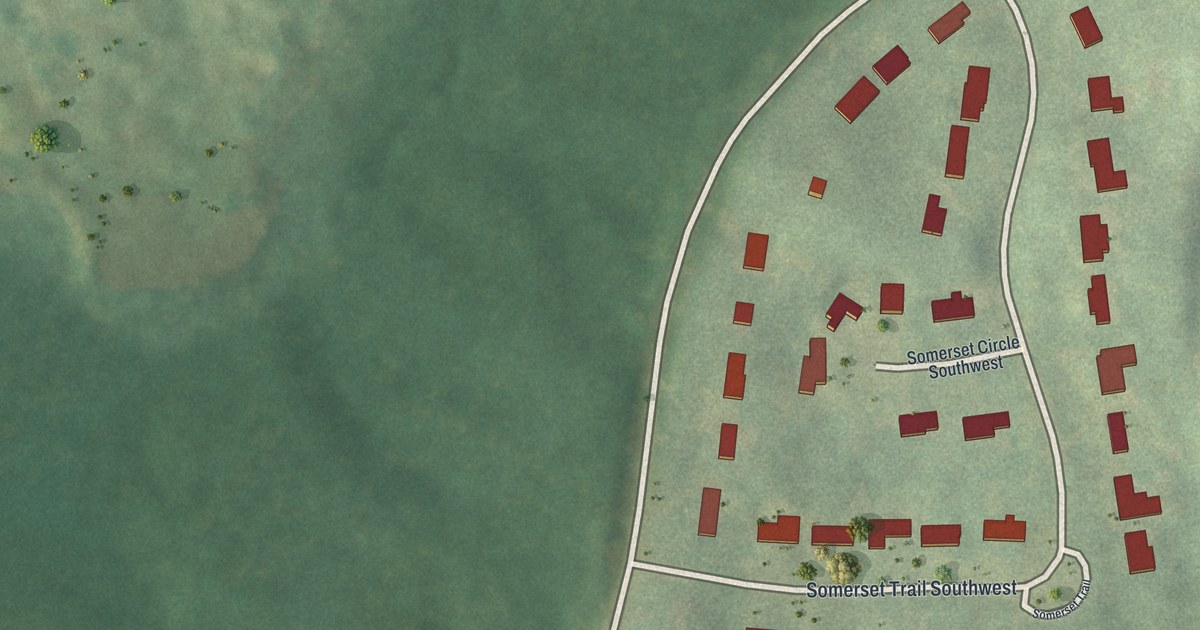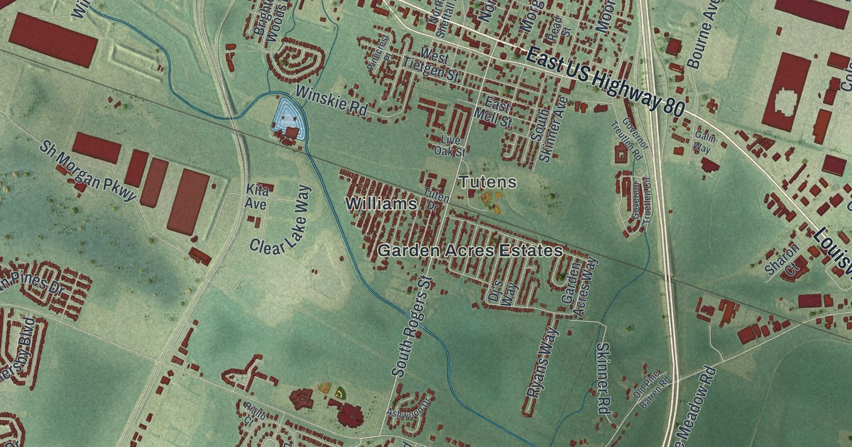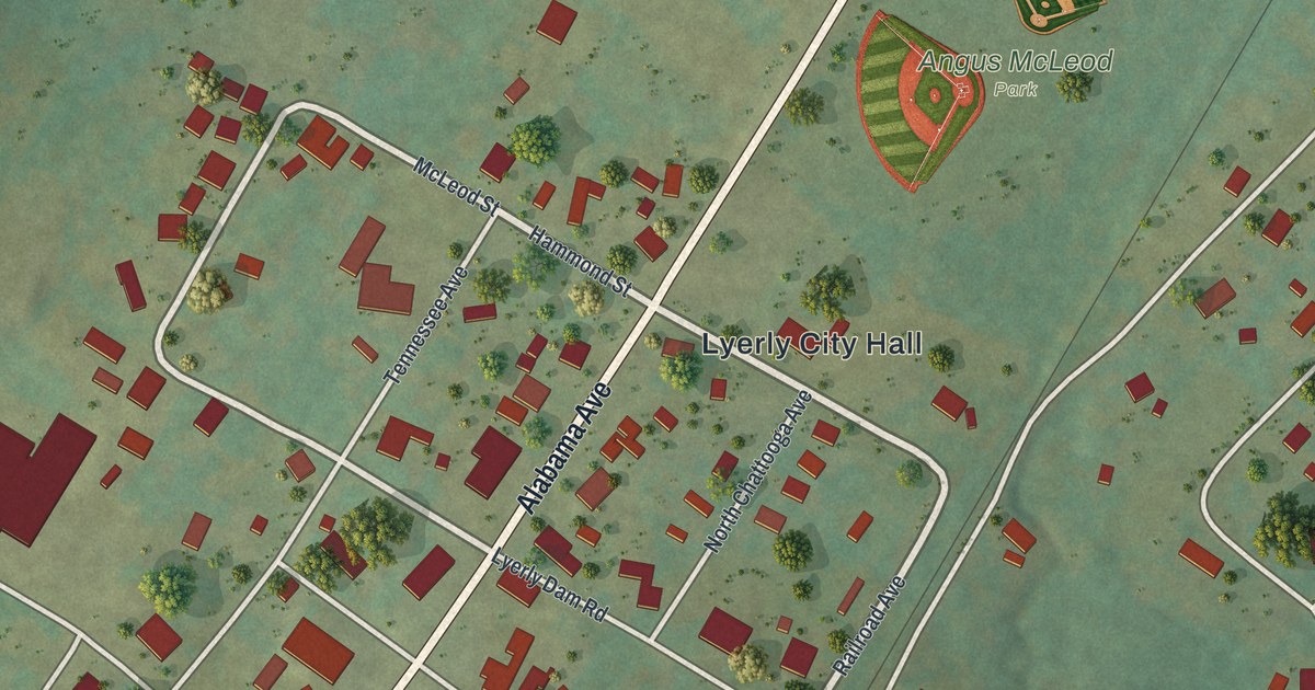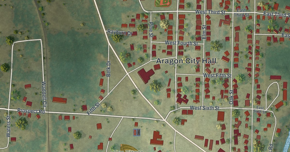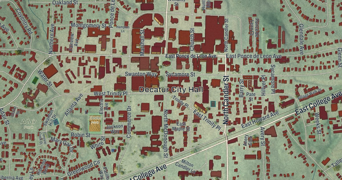
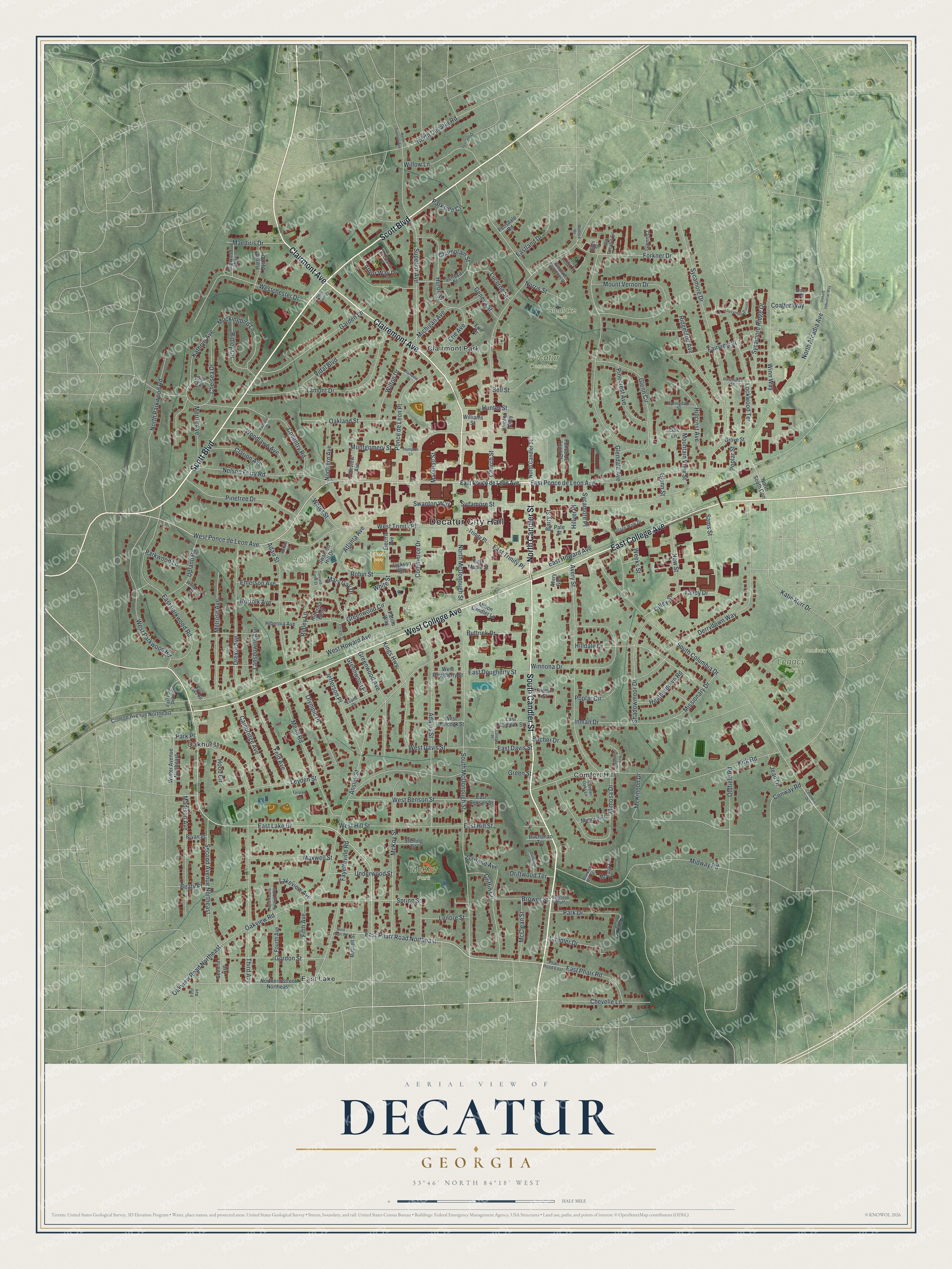
This beautifully detailed map of Decatur, Georgia was created in 2026 using aerial imagery combined with modern topographical, census, street and landmark data. It’s a one-of-a-kind view of Decatur that combines accurate data with a vintage aesthetic. The map shows every building in its true location, many of the roads carry their names, and the shaded topographic relief shows the shape of the land.
Explore an aerial view of Decatur, Georgia
On the map you’ll find Decatur City Hall, Clairmont Park, Comfort Hill, East Lake, Oakhurst, Glenlake Park, Legacy Park, McKoy Park, and Adair Park, along with Candler Street, Scott Boulevard, College Avenue, Clairemont Avenue, and more. If you look closely you can even find your house accurately drawn in its correct location. Zoom in on the preview to look for yours.
Did You Know?
In 1837 the people of Decatur disliked the smoke and clatter of trains. They refused to let the Western and Atlantic Railroad inside the city limits. So the tracks ended at a spot called Terminus instead. That settlement was renamed Atlanta in 1845 and became the railroad center of the Southeast. That’s from the 1940 WPA guide to Georgia.
Take a closer look at the Decatur map
Names on this map
These names are printed on this map.
Places: Decatur City Hall, Decatur Cemetery, Glenlake Park, Legacy Park, Seminary Wood, McKoy Park, Adair Park, Ebster Park, Clairmont Park, Comfort Hill, East Lake and Oakhurst.
Streets and roads: South Candler Street, North Candler Street, Scott Boulevard, West College Avenue, East College Avenue, Clairemont Avenue, Clairmont Avenue, East Lake Drive, West Ponce de Leon Avenue, East Pharr Road Northeast, East Trinity Place, North Arcadia Avenue.
More street names, A to Z
Adair Street, Adams Street, Alden Drive, Ansley Street, Arbor Way Drive, Atlanta Avenue, Avery Glen, Avery Street, Barry Street, Beaty Place, Bell Street, Birch Street, Brower Street, Bruton Street, Bryan Place, Buchanan Terrace, Bucher Drive, Buttrick Drive, Cambridge Avenue, Candler Drive, Candler Oaks Lane, Champlain Street, Charter Square, Chelsea Drive, Chevelle Lane, Church Street, Clarion Avenue, Clarke Hill Street, Coalter Way, College Avenue Northeast, College Place, Columbia Drive, Commerce Drive, Conway Road, Coventry Road, Dekalb Industrial Way, Derrydown Way, Dogwood Way, Drexel Avenue, Driftwood Place, Driftwood Terrace, East Benson Street, East Davis Street, East Dougherty Street, East Hancock Street, East Hill Street, East Howard Avenue, East Lake Dekalb, East Lake Road, Eastland Drive, East Maple Street, East Parkwood Road, East Pharr Road, East Ponce de Leon Avenue, Electric Avenue, Emerson Avenue, Erie Avenue, Erie Place, Evans Drive, Fairfield Street, Fairpark Lane, Fairview Avenue, Fairview Street, Fayetteville Road, Feld Avenue, Ferndale Drive, Fifth Avenue, First Avenue, Forkner Drive, Forrest Street, Fourth Avenue, Garden Lane, Garland Avenue, Geneva Street, Glendale Avenue, Glenlake Commons Drive, Glenn Circle, Glenn Court, Glenn Street, Gordon Street, Green Street, Greenwood Avenue, Greenwood Circle, Greenwood Place, Griffin Circle, Grove Street, Hampton Lane, Harold Byrd Drive, Heatherdown Road, Hibernia Avenue, Hibernia Bend, Hillcrest Avenue, Hilldale Drive, Hillyer Place, Hood Circle, Hunter Alley, Hunter Street, Huron Street, Inman Drive, Jackson Way, Jean Drive, Jefferson Place, Kathryn Avenue, Katie Kerr Drive, Kings Highway, Kirk Crossing Drive, Kirk Road, Knob Hills Circle, Lakeview Avenue, Lamont Drive, Lansdowne Avenue, Lenore Street, Leyden Street, Lockwood Terrace, Lucerne Street, Madison Avenue, Maediris Drive, Marshall Street, Mary Gay Drive, Maxwell Street, McClean Street, McEvoy Lane, McKinnon Drive, McKoy Street, Mead Road, Medlock Road, Melrose Avenue, Merrill Avenue, Michigan Avenue, Midway Road, Milton Candler Lane, Mimosa Drive, Mimosa Place, Missionary Drive, Mockingbird Lane, Montgomery Street, Mountain View Street, Mount Vernon Drive, Nelson Ferry Road, New Street, Norfolk Avenue, Norris Street, North Decatur Road, Northern Avenue, Northern Street Northeast, North Fourth Avenue North, North McDonough Street, North Parkwood Road, North South Con, North Superior Avenue, Oakland Street, Oak Lane, Oakview Road, Oakview Road Northeast, Old Decatur Circle, Oldfield Road, Olympic Place, Overlook Bluff, Park Drive, Park Place, Parkside Circle, Parkwood Lane, Pate Street, Patillo Way, Pensdale Road, Pharr Road East, Pinecrest Avenue, Pinehurst Street, Pinetree Drive, Plainview Street, Ponce de Leon Court, Ponce de Leon Place, Pope Circle, Poplar Circle, Poplar Street, Ridgeland Avenue, Ridley Circle, Ridley Howard Court, Ridley Lane, Robin Street, Rockland Place, Russell Street, Sams Street, Second Avenue, Second Avenue Northeast, Seneca Street, Shadowmoor Drive, South Columbia Drive, South McDonough Street, Springdale Street, Spring Street, Sterling Street, Superior Avenue, Swanton Hill Drive, Swanton Way, Sycamore Drive, Sycamore Place, Sycamore Ridge Drive, Sycamore Station, Sycamore Street, Talley Drive, Talley Street, Tanyard Creek Court, Third Avenue, Trinity Place, Underwood Street, Upland Road, Vidal Boulevard, Village Walk Drive, Water Street, Weeks Street, West Benson Street, Westchester Drive, West Davis Street, West Dearborn Circle, West Dougherty Street, West Hancock Street, West Hill Street, West Howard Avenue, West Parkwood Road, West Pharr Road, West Trinity Place, White Street, Williams Street, Willow Lane, Wilton Drive, Wimberly Court, Winnona Drive, Winn Way, Winter Avenue Northeast, Woodlawn Avenue.
See it on a wall
The Decatur map as a framed print. Swipe for more.


This beautifully detailed map of Decatur makes an attractive addition to your office, library, or den, and it can even be used to teach children the geography and history of the area. It also makes a great gift for anyone who grew up in Decatur or moved away. When you’re done exploring, click here to get your copy of the Decatur map.