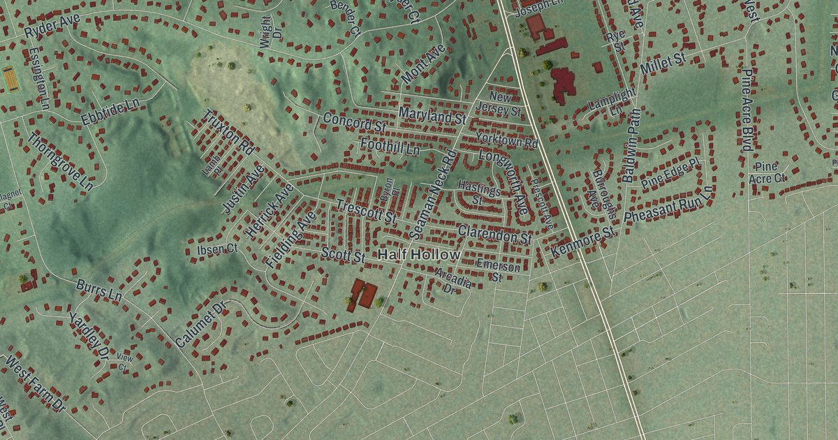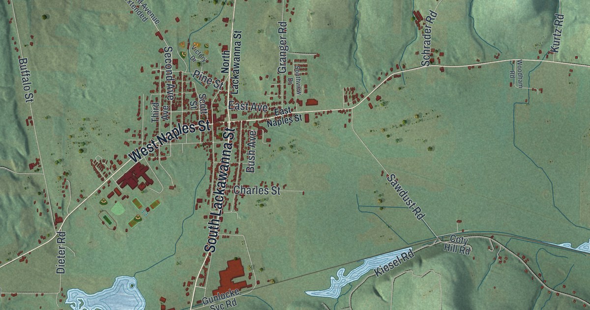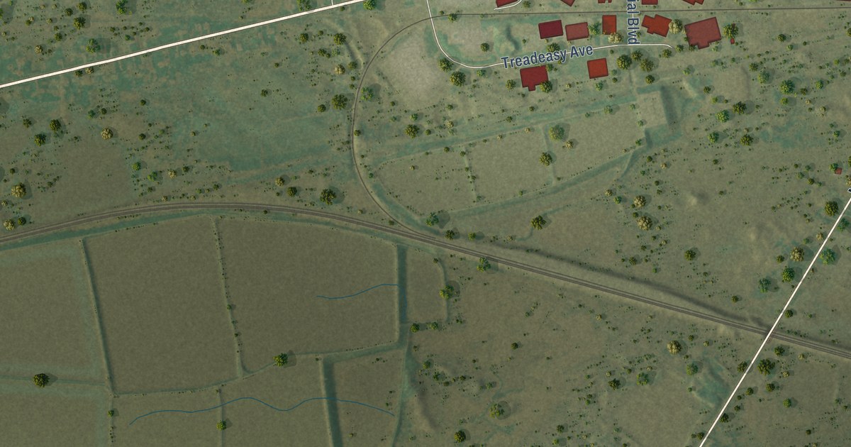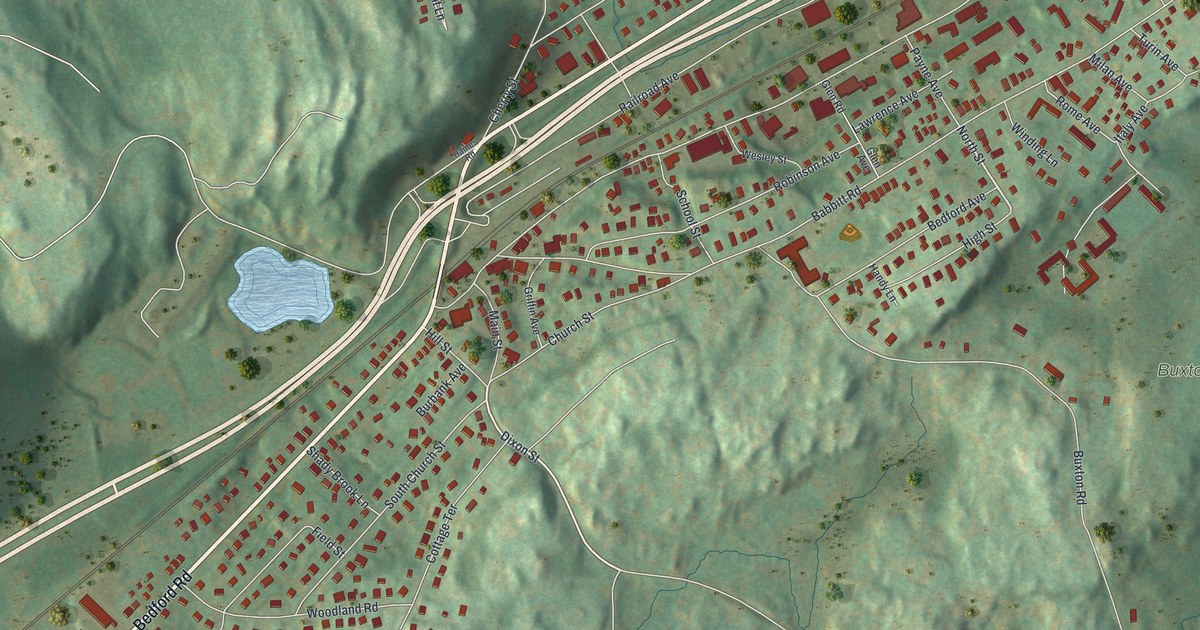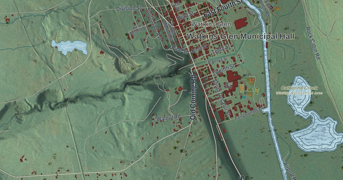
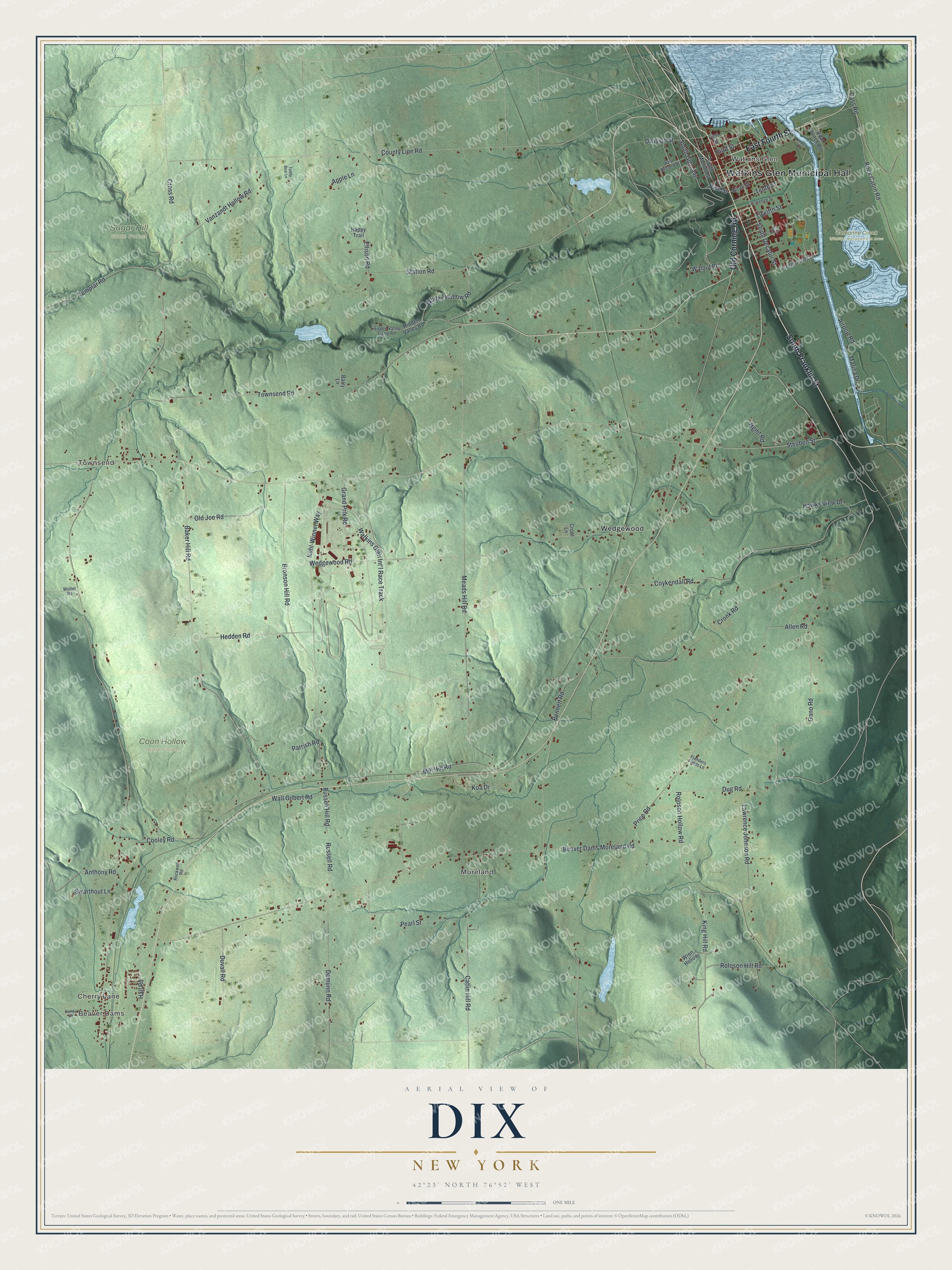
This beautifully detailed map of Dix, New York was created in 2026 using aerial imagery combined with modern topographical, census, street and landmark data. It’s a one-of-a-kind view of Dix that combines accurate data with a vintage aesthetic. The map shows every building in its true location, many of the roads carry their names, and the shaded topographic relief shows the shape of the land.
Explore an aerial view of Dix, New York
On the map you’ll find Watkins Glen Municipal Hall, Beaver Dams, Watkins Glen, Townsend, Moreland, Catharine Creek Wildlife Management Area, Coon Hollow State Forest, and Sugar Hill State Forest, along with Old Corning Road, Franklin Street, Fourth Street, Pine Street, Cherry Lane, and more. If you look closely you can even find your house accurately drawn in its correct location. Zoom in on the preview to look for yours.
Did You Know?
Dix was carved from the Town of Catlin on April 17, 1835, and named for John A. Dix. Schuyler County did not exist yet. In 1842 the village now called Watkins Glen broke away from Dix under the name Jefferson.
Take a closer look at the Dix map
Names on this map
These names are printed on this map.
Places: Watkins Glen Municipal Hall, Beaver Dams, Cherry Lane, Watkins Glen, Townsend, Moreland, Catharine Creek Wildlife Management Area, Coon Hollow State Forest, Sugar Hill State Forest and Wedgewood.
Streets and roads: Old Corning Road, South Franklin Street, East Fourth Street, Pine Street, King Hill Road, Division Street, South Glen Avenue, Cronk Road, Walnut Road, Bennett Road, Beaver Dams Moreland Road, Watkins Glen Int'l Race Track.
More street names, A to Z
15th Street, Airport Road, Allen Road, Anthony Road, Apple Lane, Baker Hill Road, Barry Lane, Boat Launch Road, Bronson Hill Road, Cass Road, Catlin Hill Road, Clarence Street, Cooley Road, County Line Road, Coykendall Road, Cross Road, Crout Lane, Demunn Road, Dug Road, Duvall Road, Ellison Road, Fairgrounds Lane, First Street, Flanders Fields Lane, Gano Road, Grand Prix Road, Hall Road, Happy Trail, Hawks View Drive, Hedden Road, Hidden Valley Camp Road, Hidden Valley Road, Hornby Road, Koa Drive, Kuhl-Winner Way, Lawrence Johnson Road, Limbeck Lane, Marina Drive, Meads Hill Road, Mill Hill Road, Ninth Street, Old Joe Road, Parrish Road, Pearl Street, Price Road, Rock Cabin Road, Rockwell Road, Roloson Hill Road, Roloson Hollow Road, Russell Hill Road, Russell Road, South Decatur Street, South Monroe Street, Station Road, Steuben Street, Swarthout Lane, Teddy Bear Lane, Templar Road, Tenth Street, Third Street, Townsend Road, Twelfth Street, Vanzandt Hollow Road, Walt Gilbert Road, Wedgewood Road, West Second Street, Wgmf Road, Whites Hollow Road, Wollet Road, Wren Hollow.
See it on a wall
The Dix map as a framed print. Swipe for more.


This beautifully detailed map of Dix makes an attractive addition to your office, library, or den, and it can even be used to teach children the geography and history of the area. It also makes a great gift for anyone who grew up in Dix or moved away. When you’re done exploring, click here to get your copy of the Dix map.