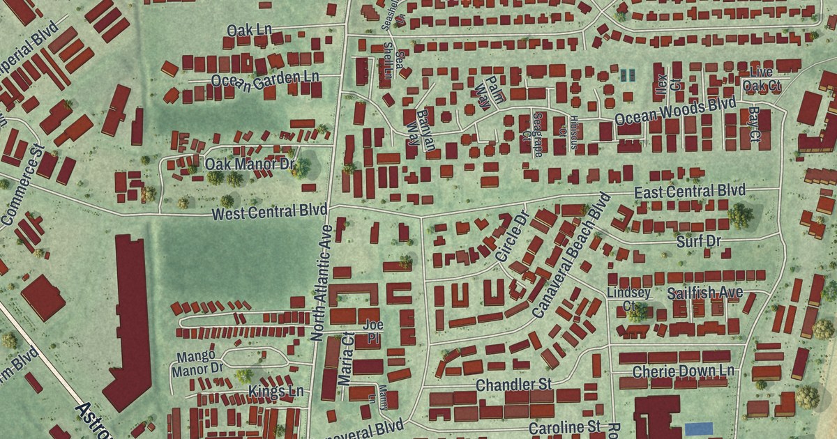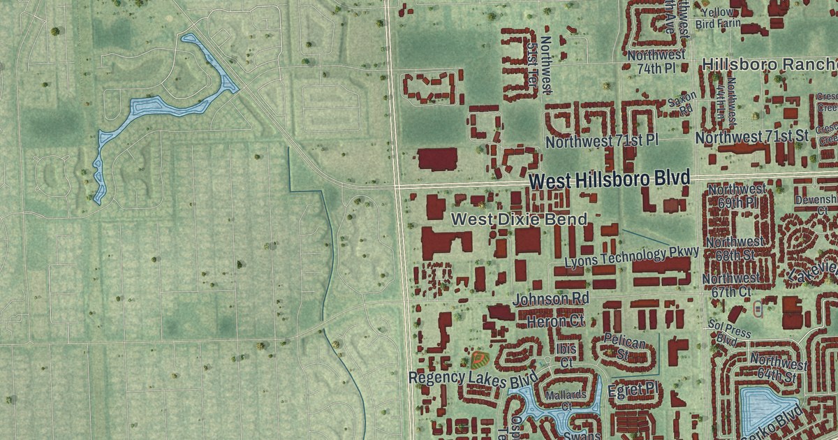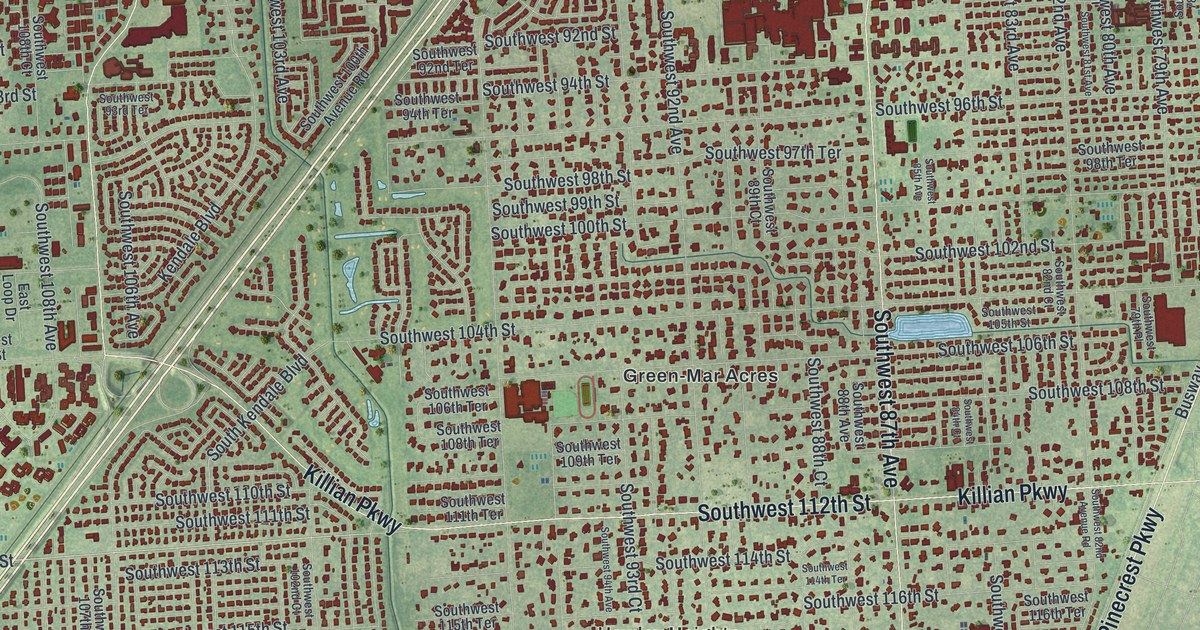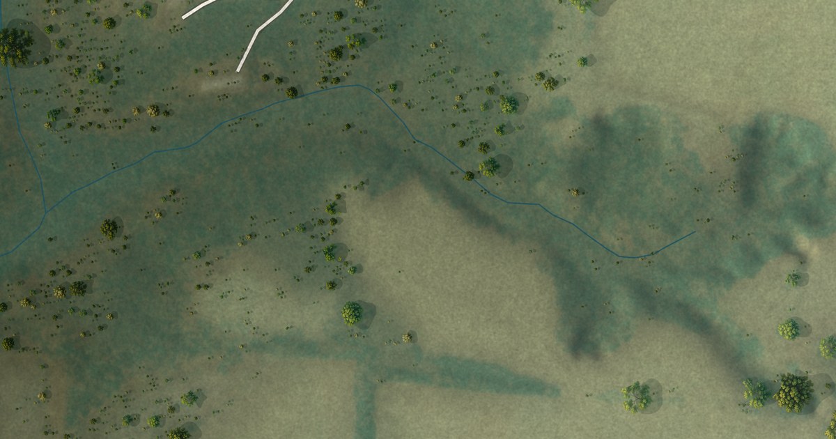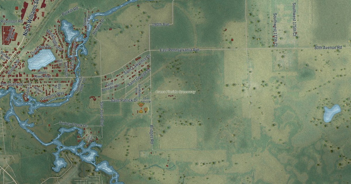
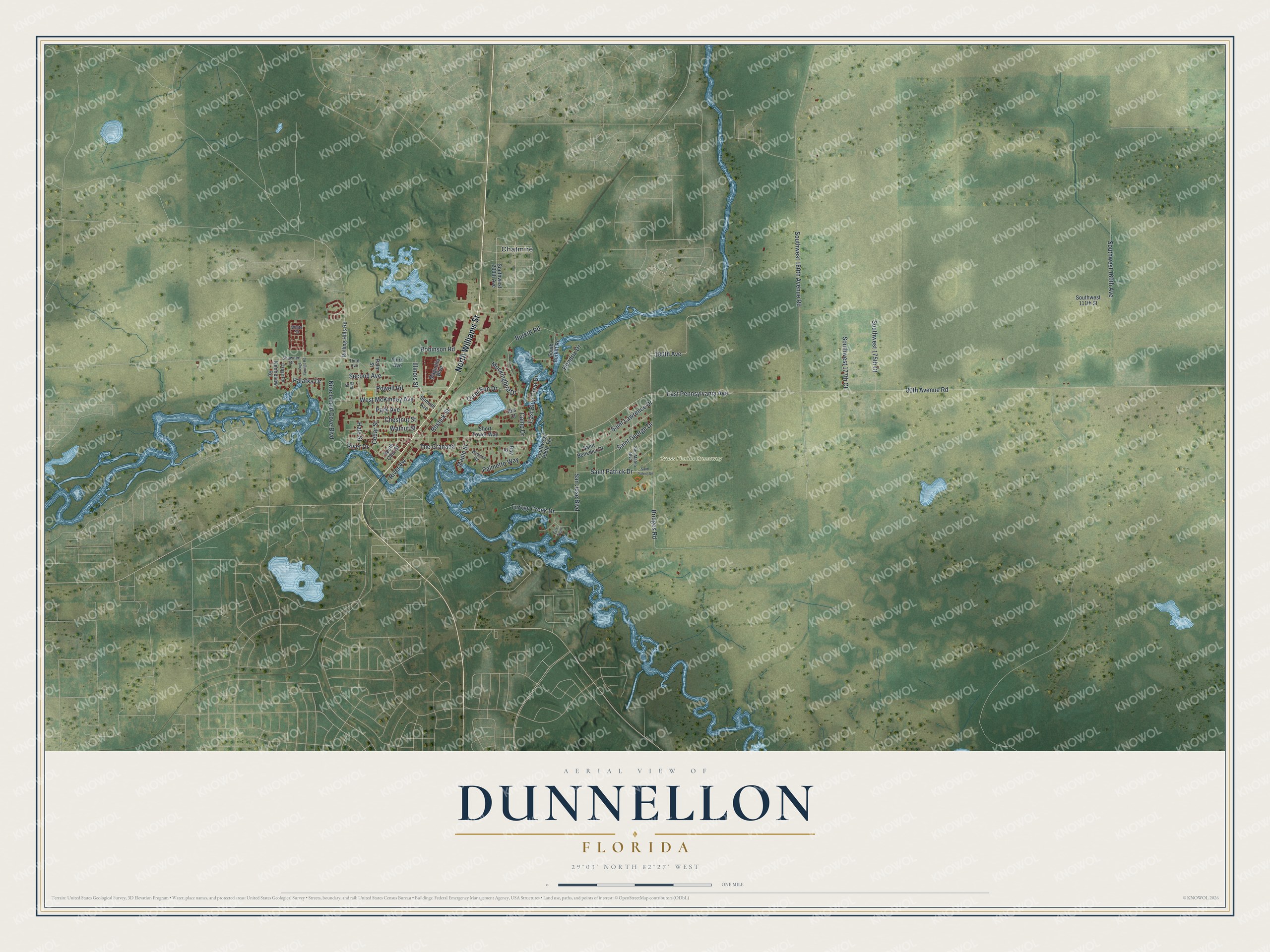
This beautifully detailed map of Dunnellon, Florida was created in 2026 using aerial imagery combined with modern topographical, census, street and landmark data. It’s a one-of-a-kind view of Dunnellon that combines accurate data with a vintage aesthetic. The map shows every building in its true location, many of the roads carry their names, and the shaded topographic relief shows the shape of the land.
Explore an aerial view of Dunnellon, Florida
On the map you’ll find Cross Florida Greenway and Chatmire, along with North Williams Street, Bridges Road, 190th Avenue, River Drive, East Pennsylvania Avenue, 80th Avenue Road, Southwest 180th Avenue Road, Turkey Creek Drive, West McKinney Avenue, Nine Island Cove Boulevard, and more. If you look closely you can even find your house accurately drawn in its correct location. Zoom in on the preview to look for yours.
Did You Know?
Dunnellon was founded in 1887 and named for John F. Dunn, an early settler in the railroad business. Phosphate was found nearby in 1889, starting the first mining boom in Florida. The boom lasted until the early 1910s, and the city is still called Boomtown.
Take a closer look at the Dunnellon map
Names on this map
These names are printed on this map.
Places: Cross Florida Greenway and Chatmire.
Streets and roads: North Williams Street, Bridges Road, 190th Avenue, River Drive, East Pennsylvania Avenue, 80th Avenue Road, Southwest 180th Avenue Road, Turkey Creek Drive, West McKinney Avenue, Nine Island Cove Boulevard, The Granada, Powell Road.
More street names, A to Z
Bay Street, Bostick Street, Burkitt Road, Camp Drive, Cedar Street, Chestnut Street, East Blue Cove Drive, Elm Street, Fox Trail, Hale Street, Hendrix Drive, Ibis Court, Illinois Street, Kennesaw Road, Magnolia Boulevard, Maple Street, Mockingbird Drive, Osage Road, Palatka Drive, Palmetto Way, Palm Street, Park Avenue, Quail Run Drive, River Vw, Robinson Road, Rolling Hills Road, Saint Benedict Drive, Saint George Drive, Saint Lawrence Drive, Saint Patrick Drive, Saint Patrict Drive, San Jose Boulevard, San Mateo Boulevard, Second Avenue, Shawnee Drive, Short Tower Way, South Burkitt Road, South Ohio Street, Southwest 111th Street, Southwest 160th Avenue, Southwest 175th Court, Southwest 177th Court, Southwest 196th Terrace, Southwest 200th Avenue, Summit Avenue, Third Avenue, Vogt Springs Road, Walnut Street, Wekiwa Circle, White Street.
See it on a wall
The Dunnellon map as a framed print. Swipe for more.


This beautifully detailed map of Dunnellon makes an attractive addition to your office, library, or den, and it can even be used to teach children the geography and history of the area. It also makes a great gift for anyone with Dunnellon roots. When you’re done exploring, click here to get your copy of the Dunnellon map.