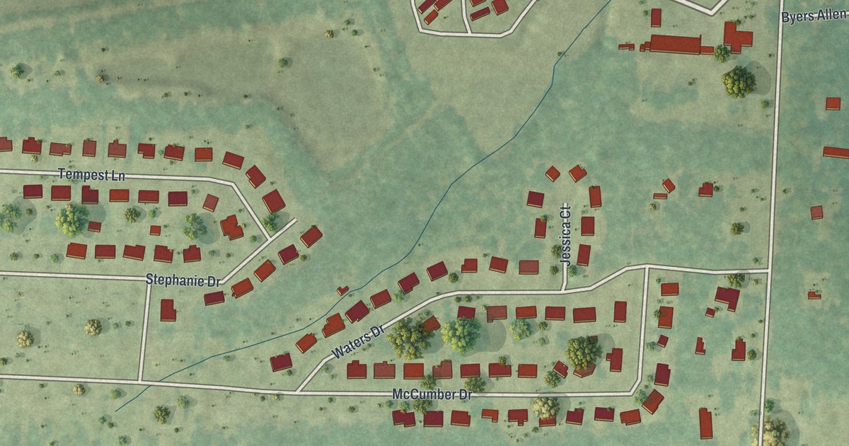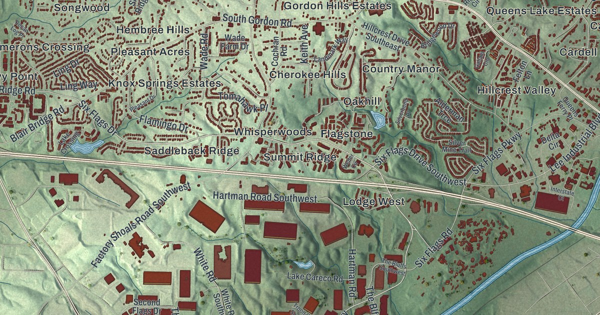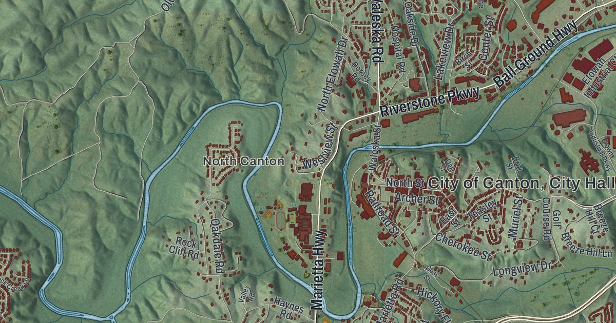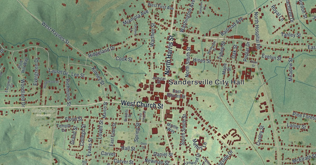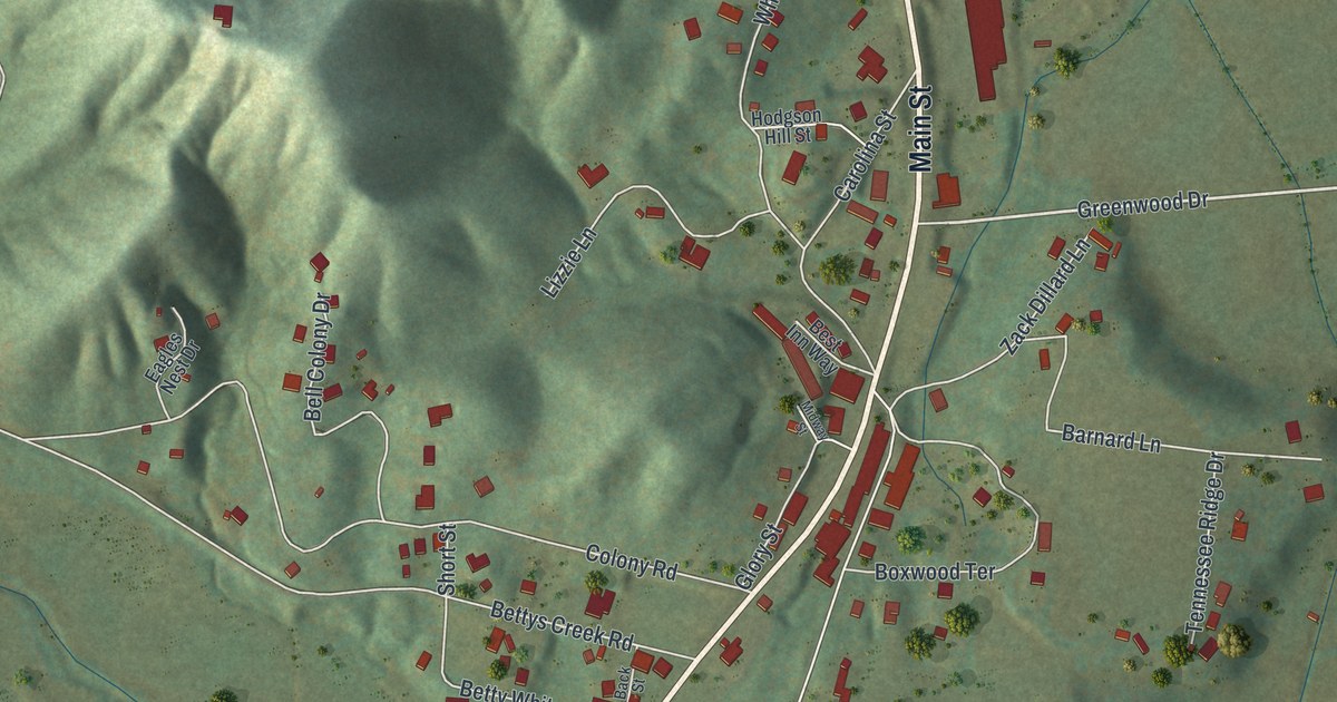
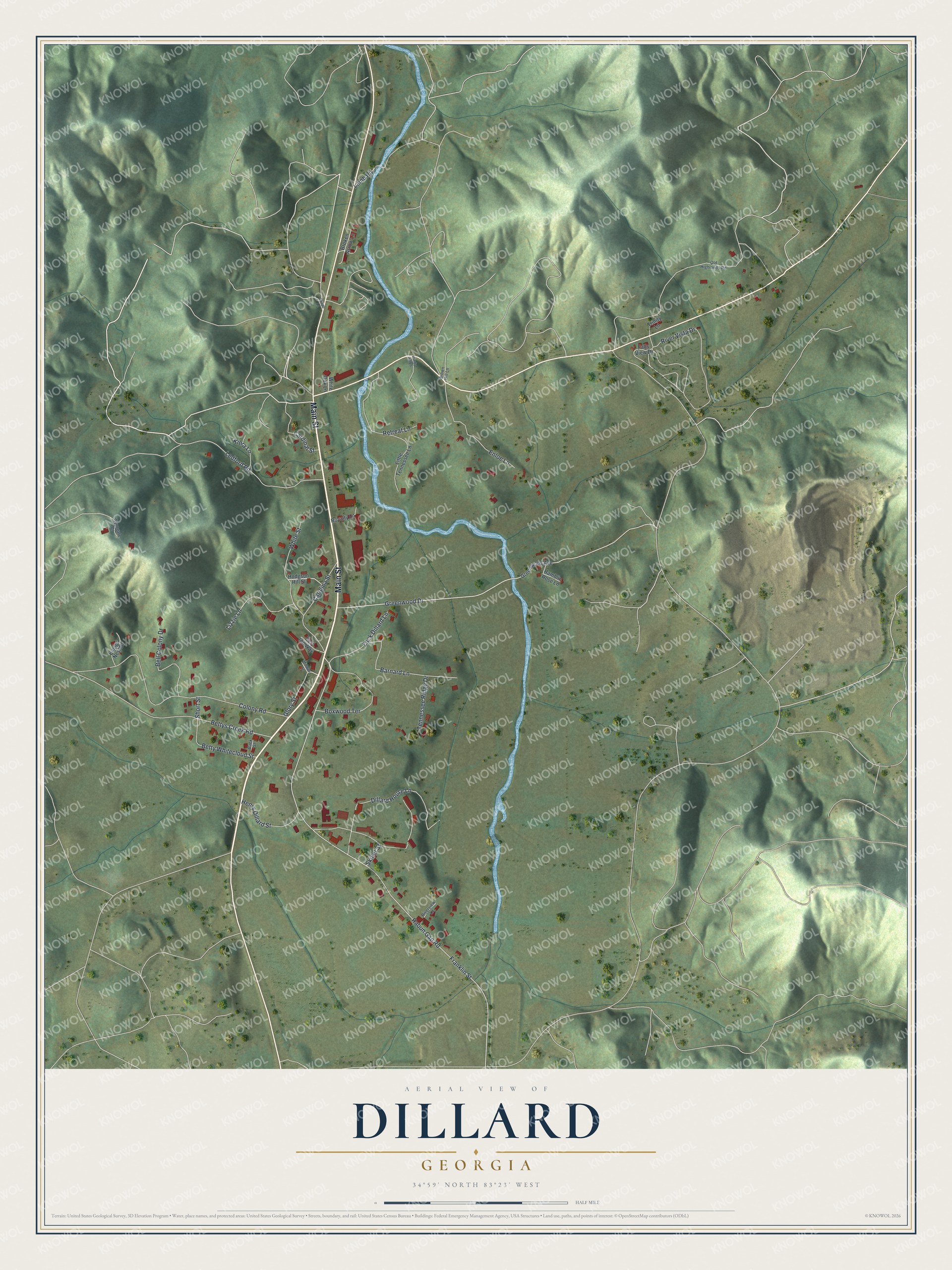
This beautifully detailed map of Dillard, Georgia was created in 2026 using aerial imagery combined with modern topographical, census, street and landmark data. It’s a one-of-a-kind view of Dillard that combines accurate data with a vintage aesthetic. The map shows every building in its true location, many of the roads carry their names, and the shaded topographic relief shows the shape of the land.
Explore an aerial view of Dillard, Georgia
On the map you’ll find Main Street, Dillard House Lane, Greenwood Drive, Franklin Street, Rabun Gap Road, and more. If you look closely you can even find your house accurately drawn in its correct location. Zoom in on the preview to look for yours.
Did You Know?
John Dillard and his son James came from Buncombe County, North Carolina, around 1823. John had been a lieutenant in the Virginia Militia during the Revolution and fought at Guilford Court House. James gained 1,000 acres by buying lottery rights from Rabun County landholders. The state incorporated the Town of Dillard in 1906.
Take a closer look at the Dillard map
Names on this map
These names are printed on this map.
Streets and roads: Main Street, Dillard House Lane, Greenwood Drive, Franklin Street, Rabun Gap Road, Colony Road, Bettys Creek Road, Ledford Road, Boxwood Terrace, Barnard Lane, Carolina Street, Lizzie Lane.
More street names, A to Z
Back Street, Bell Colony Drive, Best Inn Way, Betty Whitecloud Street, Broken Arrow Lane, Brown Hill Lane, Cardinal Street, Eagles Nest Drive, Enloe Lane, Falls View Drive, Glory Street, Greenwood Avenue, Henry Dillard Street, Hodgson Hill Street, Kiera Lane, Lamb Road, Little Tennessee Lane, Midway Street, Old Highlands Road, Ramblin Rose Lane, Retreat Lane, Riverview Lane, River Vista Drive, Royalty Lane, Shope Lane, Short Street, Skillet Street, Tennessee Ridge Drive, Trinity Lane, White Oak Lane, White Street, Windy Hill Lane, Wynngate Drive, Zack Dillard Lane.
See it on a wall
The Dillard map as a framed print. Swipe for more.


This beautifully detailed map of Dillard makes an attractive addition to your office, library, or den, and it can even be used to teach children the geography and history of the area. It also makes a great gift for someone who left Dillard and still calls it home. When you’re done exploring, click here to get your copy of the Dillard map.