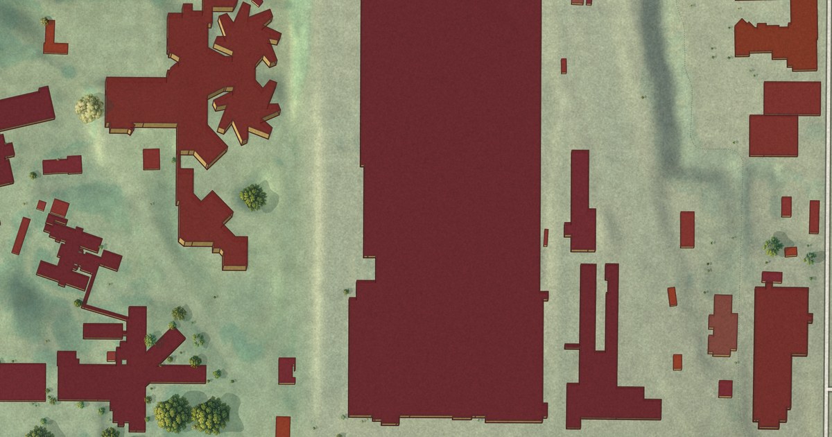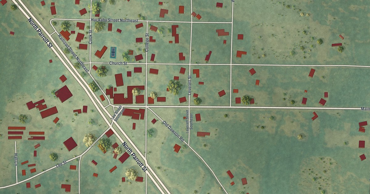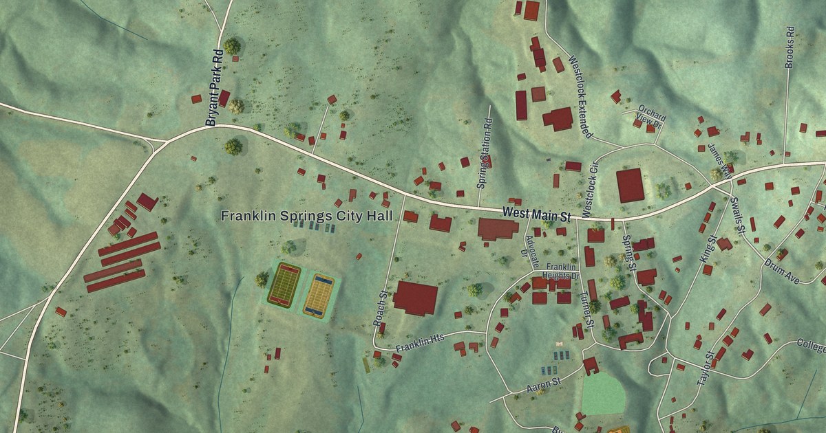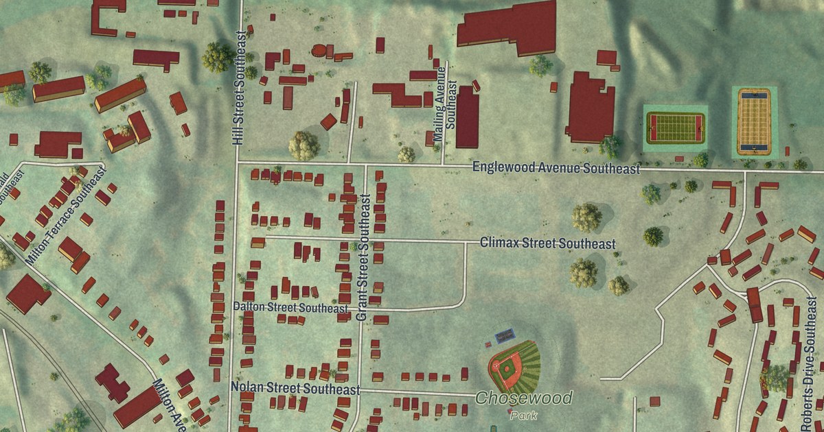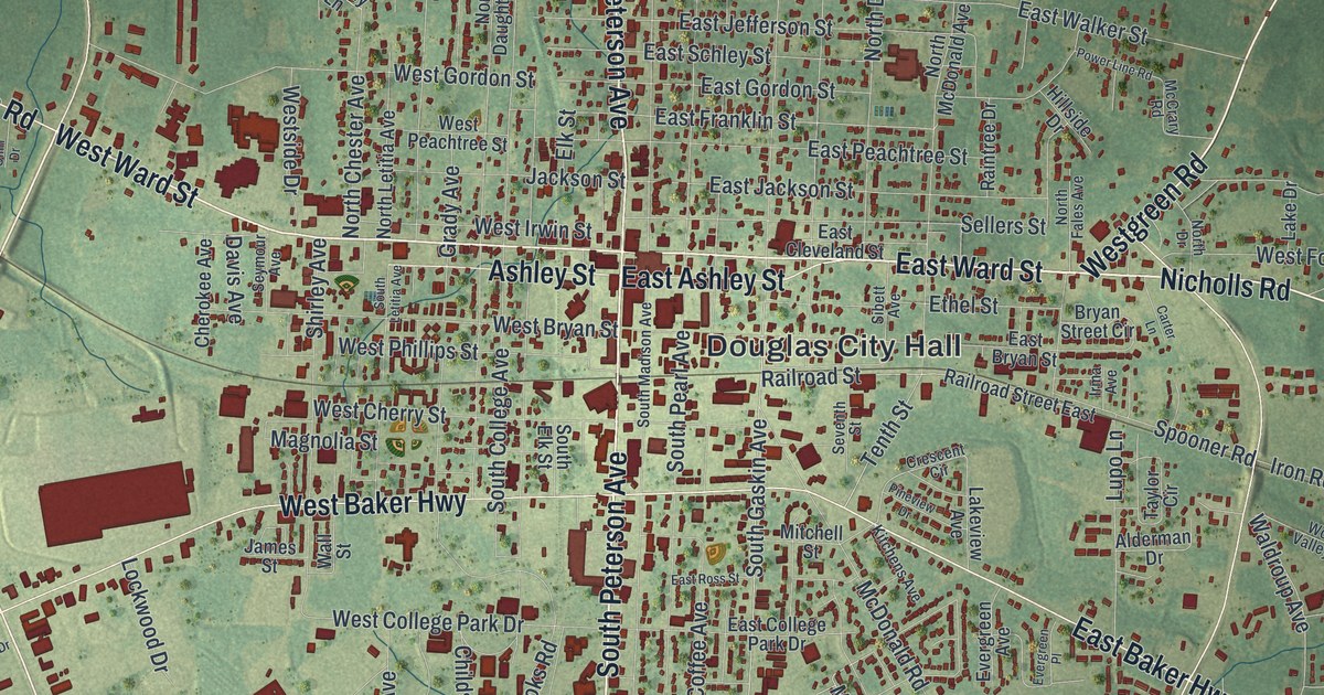
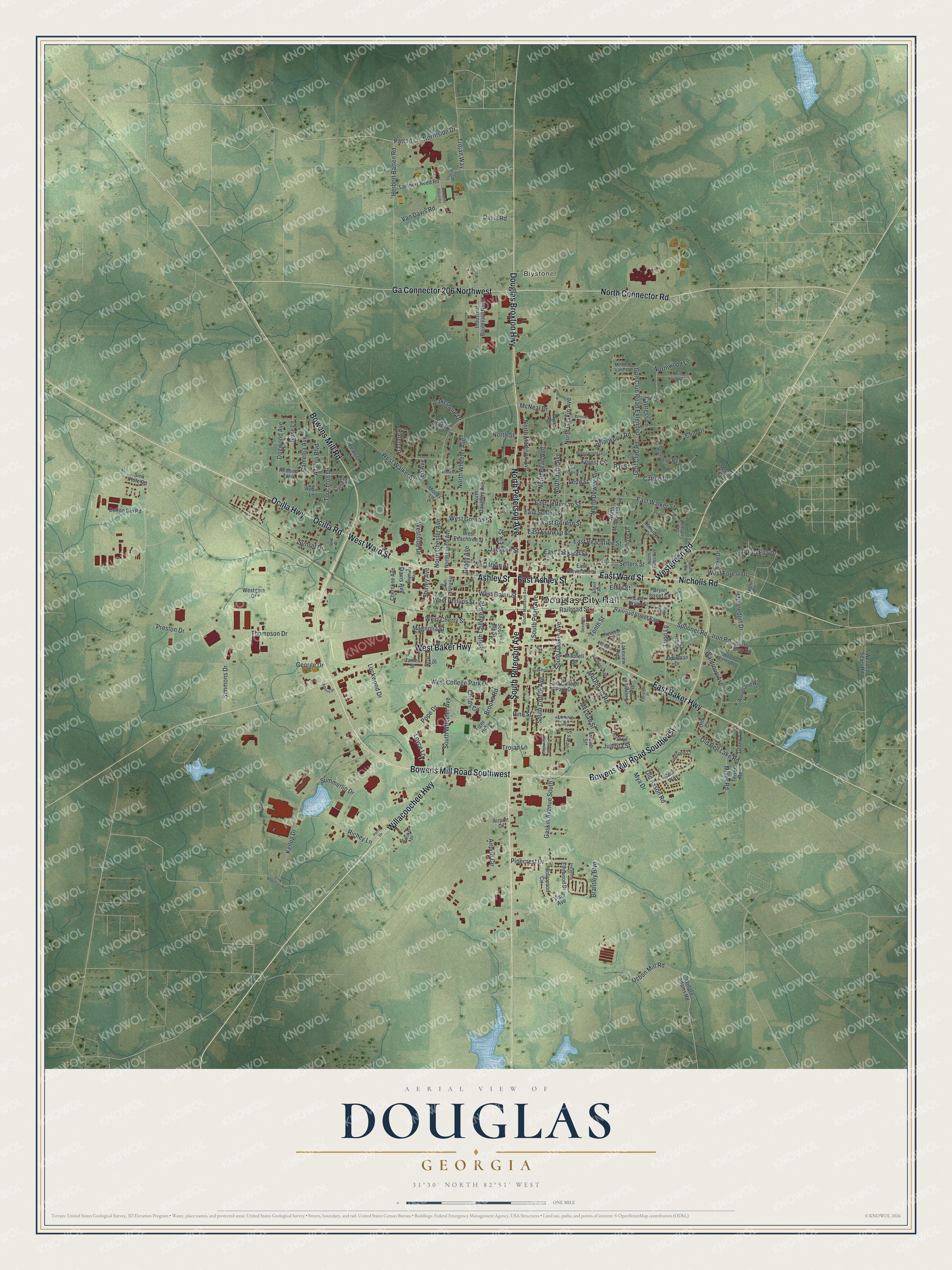
This beautifully detailed map of Douglas, Georgia was created in 2026 using aerial imagery combined with modern topographical, census, street and landmark data. It’s a one-of-a-kind view of Douglas that combines accurate data with a vintage aesthetic. The map shows every building in its true location, many of the roads carry their names, and the shaded topographic relief shows the shape of the land.
Explore an aerial view of Douglas, Georgia
On the map you’ll find Douglas City Hall and Blystonel, along with Bowens Mill Road, Peterson Avenue, Ward Street, Westgreen Road, and more. If you look closely you can even find your house accurately drawn in its correct location. Zoom in on the preview to look for yours.
Did You Know?
Douglas began in 1855 as the seat of the brand new Coffee County. It honors Senator Stephen A. Douglas of Illinois, a famed stump speaker. He ran against Abraham Lincoln for president in 1860.
Take a closer look at the Douglas map
Names on this map
These names are printed on this map.
Places: Douglas City Hall and Blystonel.
Streets and roads: Bowens Mill Road Southwest, South Peterson Avenue, West Ward Street, East Ward Street, Westgreen Road, Nicholls Road, North Peterson Avenue, Willacoochee Highway, East Baker Highway, East Ashley Street, Ocilla Highway, Ashley Street.
More street names, A to Z
Airport Circle, Airport Drive, Alderman Drive, Ameris Drive, Andrews Street, Azalea Boulevard, Bittaker Drive, Bo Jo Ella Drive, Bonewell Royal Road, Bowens Mill Road, Bowens Mill Road Southeast, Brantley Boulevard, Briarwood Road, Brooks Road, Bryan Street Circle, Camellia Avenue, Carter Lane, Cation Drive, Cecil Way, Chariot Trail, Cherokee Avenue, Childs Circle, Circle Drive, Club Drive, Cotton Gin Road, Crescent Circle, Cypress Lane, Davis Avenue, Davis Road, Dogwood Avenue, Douglas Broxton Highway, East Bryan Street, East Cleveland Street, East College Park Drive, East Franklin Street, East Gordon Street, East Jackson Street, East Jefferson Street, East Peachtree Street, East Ross Street, East Schley Street, East Walker Street, East Wilson Street, Edgewood Avenue, Elk Street, Elmwood Drive, Elzie Anderson Road, Ethel Street, Evergreen Avenue, Evergreen Place, Forest Circle, Ga Connector 206 Northwest, Gaskin Avenue South, George Drive, Golf Club Road, Golf Club Road Extended, Grady Avenue, Green Avenue, Hampton Road, Herbert Batten Road, Hillside Drive, Hollywood Circle, Industrial Boulevard North, Irma Avenue, Iron Road, Jackson Street, James Street, Johnson Street, Juanita Street, Karen Lane, Kellog Drive, Kingsport Court, Kitchens Avenue, Lake Drive, Lakeshore Drive, Lake Shore Drive, Lakeview Avenue, Lambert Reed Road, Leader Street, Lee Avenue, Leon Street, Lockwood Drive, Lonnie Street, Loyce Lane, Lupo Lane, Magnolia Street, McCrary Road, McDonald Road, McLean Street, McNeal Drive, Meadow Lane Drive, Merritt Circle, Miller Road, Mingledorf Drive, Mitchell Street, Moody Lane, Mya Drive, North Chester Avenue, North Connector Road, North Daughtry Avenue, North Dewey Avenue, North Drive, North Fales Avenue, North Gaskin Avenue, North June Avenue, North Letitia Avenue, North Madison Avenue, North McDonald Avenue, North Pearl Avenue, Northside Drive, North Street, North Wheeler Avenue, Northwood Lane, Ocilla Road, Old Axson Road, Old Bell Lake Road, Olliff Drive, Osbon Mill Road, Otto Circle, Par Street, Patton Lane, Pearson Lane, Perrin Drive, Pinecrest Drive, Pine Street, Pineview Drive, Pope Drive, Power Line Road, Preston Drive, Railroad Street, Railroad Street East, Raintree Drive, Redbird Trail, Richey Lane, Ridgewood Drive, Robin Lane, Rose Lane, Saint Andrews Drive, Sears Street, Sellers Street, Seventh Street, Seymour Avenue, Shirley Avenue, Sibett Avenue, Simmons Drive, Sink Hole Road, South Coffee Avenue, South College Avenue, South Elk Street, South Gaskin Avenue, South Letitia Avenue, South Madison Avenue, South Pearl Avenue, South Wheeler Avenue, Spooner Road, Summerlin Drive, Sunset Drive, Taylor Circle, Tenth Street, Terrell Road, Thompson Drive, Thrash Circle, Tiger Road, Touchton Drive, Trojan Lane, Trojan Way, Van Davis Road, Victor Bray Road, Vista Avenue, Vivian Avenue, Waldroup Avenue, Wall Street, Wendell Sears Road, West Baker Highway, West Bryan Street, West Cherry Street, West College Park Drive, West Forest Drive, Westgate Drive, West Gordon Street, West Irwin Street, West Peachtree Street, West Phillips Street, Westside Drive, West Walker Street, Willard Adams Road, Wilmar Avenue, Woodland Heights, Wood Valley Drive, Wynn Avenue.
See it on a wall
The Douglas map as a framed print. Swipe for more.


This beautifully detailed map of Douglas makes an attractive addition to your office, library, or den, and it can even be used to teach children the geography and history of the area. It also makes a great gift for someone who left Douglas and still calls it home. When you’re done exploring, click here to get your copy of the Douglas map.