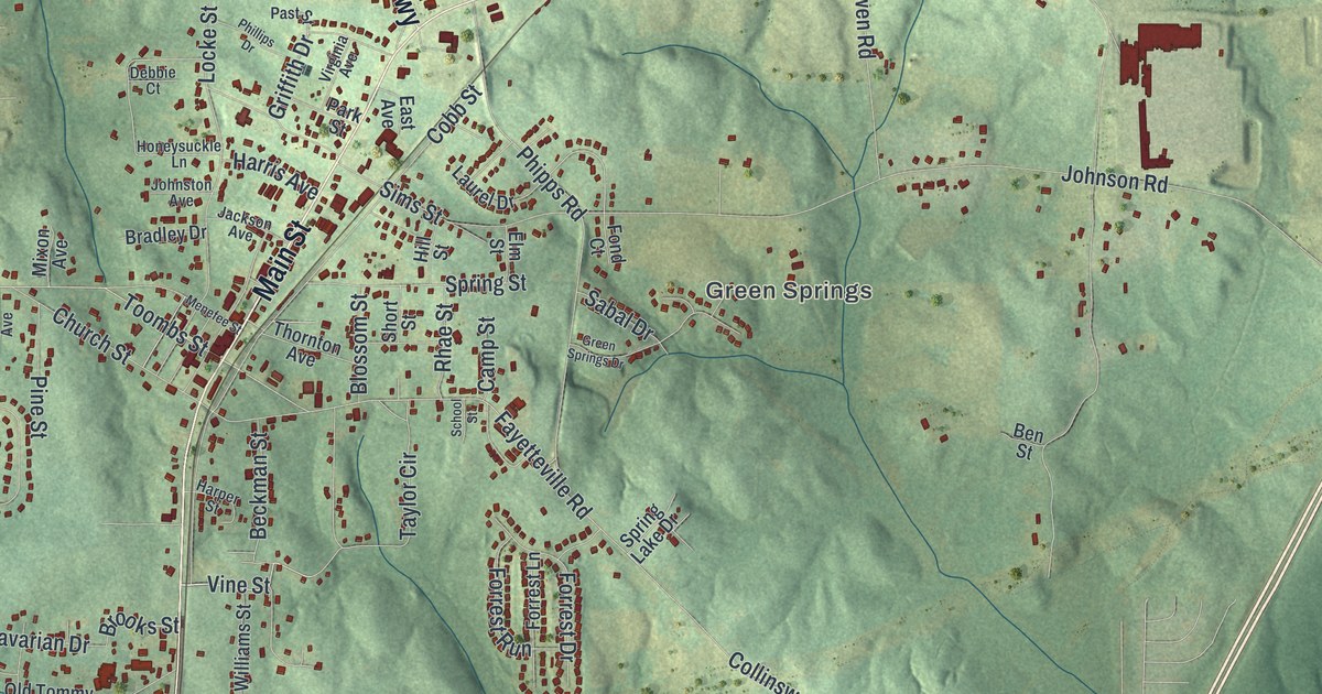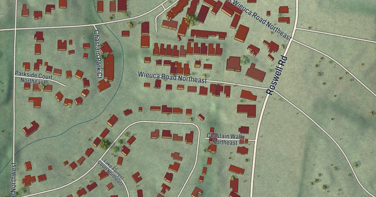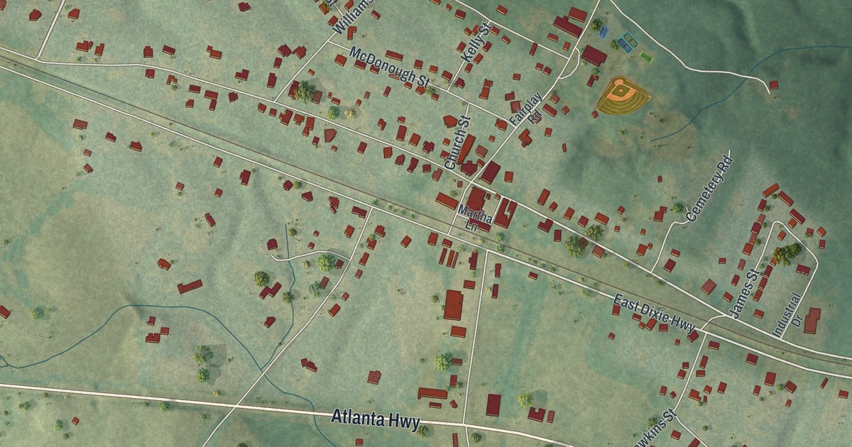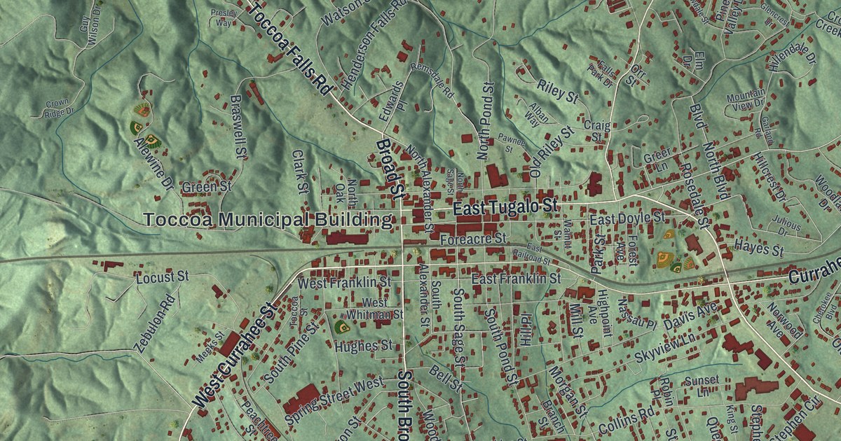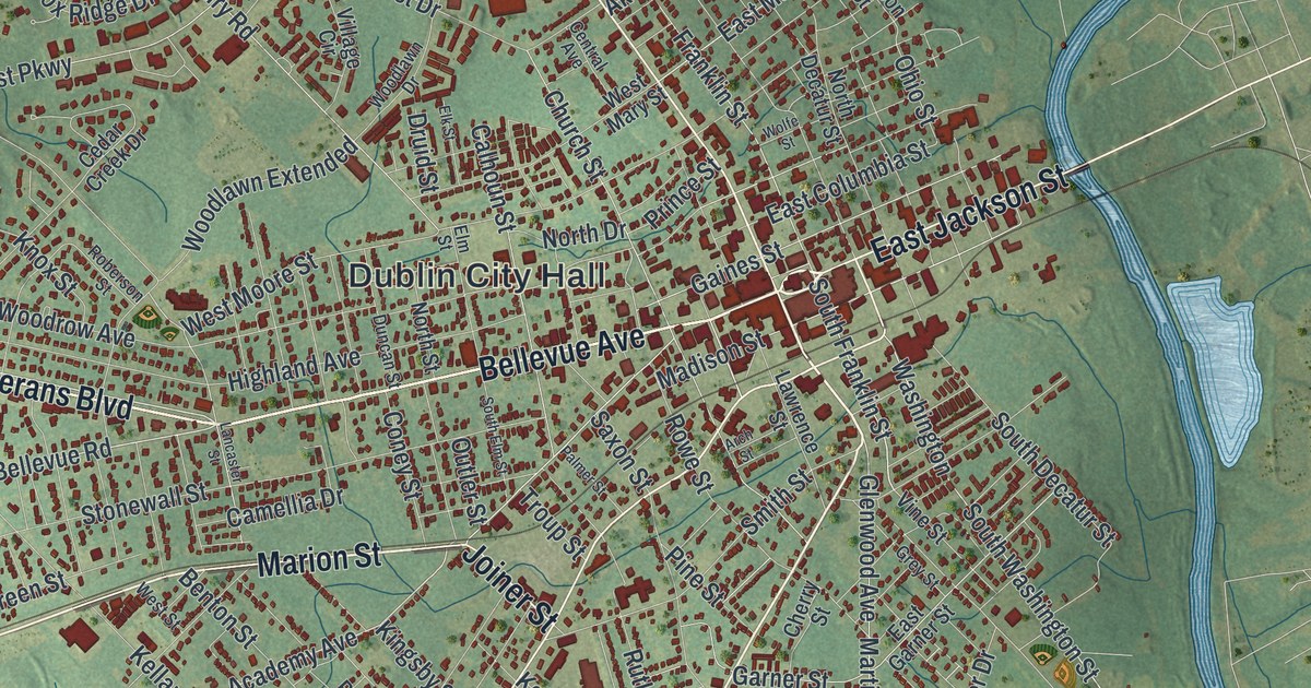
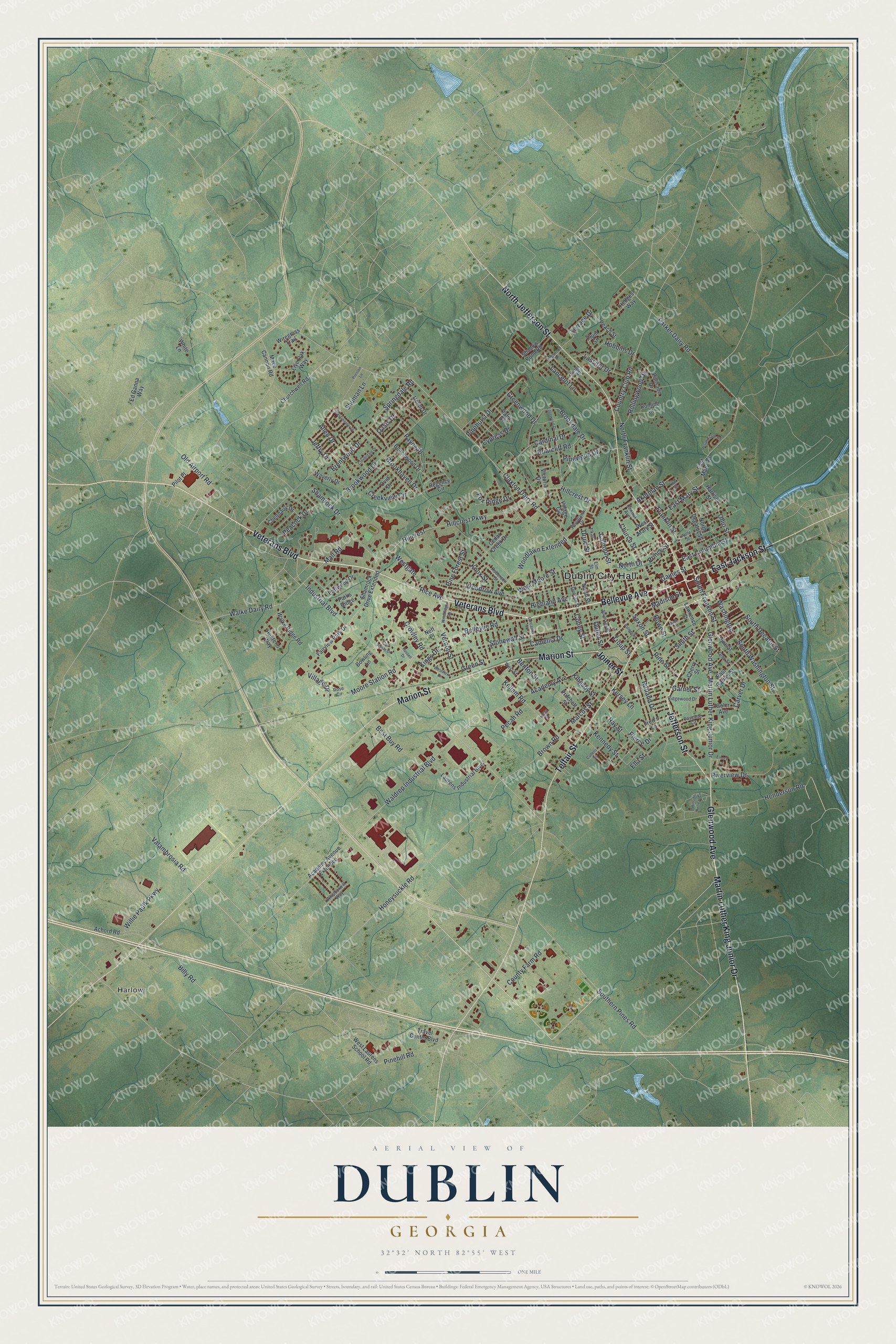
This beautifully detailed map of Dublin, Georgia was created in 2026 using aerial imagery combined with modern topographical, census, street and landmark data. It’s a one-of-a-kind view of Dublin that combines accurate data with a vintage aesthetic. The map shows every building in its true location, many of the roads carry their names, and the shaded topographic relief shows the shape of the land.
Explore an aerial view of Dublin, Georgia
On the map you’ll find Dublin City Hall and Harlow, along with Martin Luther King Junior Drive, Marion Street, Bellevue Avenue, Glenwood Avenue, and more. If you look closely you can even find your house accurately drawn in its correct location. Zoom in on the preview to look for yours.
Did You Know?
Dublin was named by an Irishman, Peter (Jonathan) Sawyer, who gave the land for its public buildings. It became the Laurens County seat in 1812. Freight came up the Oconee River to Dublin, and it once outranked Macon. It declined after county residents kept the Central of Georgia Railway from reaching town. That’s from the 1940 WPA guide to Georgia.
Take a closer look at the Dublin map
Names on this map
These names are printed on this map.
Places: Dublin City Hall and Harlow.
Streets and roads: Martin Luther King Junior Drive, Marion Street, Bellevue Avenue, Glenwood Avenue, North Jefferson Street, Veterans Boulevard, Telfair Street, Joiner Street, East Jackson Street, Jefferson Street, Bellevue Road, Rice Avenue.
More street names, A to Z
Academy Avenue, Academy Avenue Extended, Achord Road, Akerman Street, Allen Drive, Arch Street, Beachwood Drive, Benton Street, Best Buy Road, Billy Road, Bowling Lane, Brentwood Drive, Briarcliff Road, Brookdale Drive, Brookhaven Drive, Brookwood Drive, Brown Road, Calhoun Street, Camellia Drive, Cardinal Drive, Carver Drive, Cascade Circle, Cedar Creek Drive, Central Avenue, Chennault Drive, Cherry Street, Church Street, Churchwell Road, Claxton Dairy Road, Cloverdale Drive, Coney Street, Country Club Road, County Farm Road, Creekview Circle, Crowley Road, Cullens Street, Cypress Drive, Druid Street, Duncan Street, Earlwood Drive, East Columbia Street, East Garner Street, East Mary Road, East Mary Street, Ed Ganna Way, Edgewood Drive, Elk Street, Ella Street, Elm Street, Emory Lane, Fairview Park Drive, Fox Ridge Drive, Franklin Street, Fred's Lane, Gaines Street, Garner Street, Goler Avenue, Green Street, Greenwood Drive, Grey Street, Harrison Street, Hedges Way, Helen Drive, Henderson Road, Highland Avenue, Hillcrest, Hillcrest Drive, Hillcrest Parkway, Hillside Retreat Circle, Hobbins Drive, Honeysuckle Road, Hunter's Way, Industrial Boulevard, Jeffry Drive, Kellam Road, Kennedy Street, Kersey Lane, Kingsby Street, Kings Drive, Kings Road, Kingswood Drive, Knox Street, Lancaster Street, Lancelot Lane, Lassiter Drive, Laurens Industrial Boulevard, Lawrence Street, Live Oak Way, Lona Street, Mace Cannon Road, Madison Street, Mall Road, Marcus Street, Moore Station Road, Neff Place, New Street, North Decatur Street, North Drive, North Franklin Street, North Street, Oak Pointe Drive, Oasis Drive, Ohio Street, Old Airport Road, Outler Street, Ovid Drive, Palisade Drive, Palm Drive, Palmer Street, Parker Dairy Road, Parks Ridge, Payne Place, Peach Street, Peacock Drive, Pecan Road, Pecan Trace Road, Pierce Drive, Pilot Place, Pine Forest Street, Pinehill Road, Pinehurst Drive, Pine Street, Pinewood Drive, Plum Street, Preston Lane, Prince Street, Pritchett Street, Ray Street, Regency Circle, Ridgewood Drive, Riverview Drive, Roberson Street, Rollingwood Drive, Romine Court, Rose Circle, Rowe Street, Russell Drive, Rutland Drive, Saxon Street, Shadow Pond Road, Shamrock Drive, Shamrock Drive Extended, Shuman Lane, Smith Street, South Decatur Street, South Elm Street, Southern Pines Road, South Franklin Street, South Washington Street, Springdale Road, Stonewall Street, Terrace Drive, Travel Center Boulevard, Troup Street, Valambrosia Road, Vernon Street, Victoria Drive, Village Circle, Village Drive, Vine Street, Waldrep Industrial Boulevard, Walke Dairy Road, Walke Ridge Road, Washington, Waverly Drive, Westchester Drive, Westgate, West Laurens School Road, West Mary Street, West Moore Street, West Street, Westview Drive, Whipoorwill Way, White Lane, Willie Paulk Parkway, Wiregrass Trail, Wolfe Street, Woodlawn Drive, Woodlawn Extended, Woodridge Road, Woodrow Avenue.
See it on a wall
The Dublin map as a framed print. Swipe for more.


This beautifully detailed map of Dublin makes an attractive addition to your office, library, or den, and it can even be used to teach children the geography and history of the area. It also makes a great gift for anyone with Dublin roots. When you’re done exploring, click here to get your copy of the Dublin map.