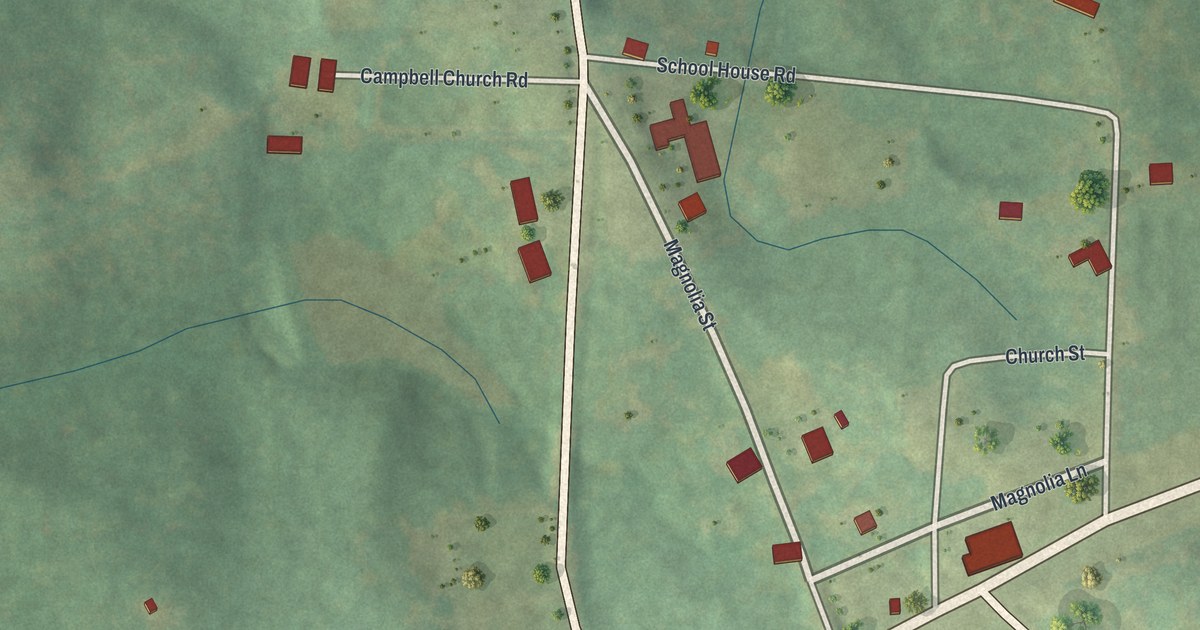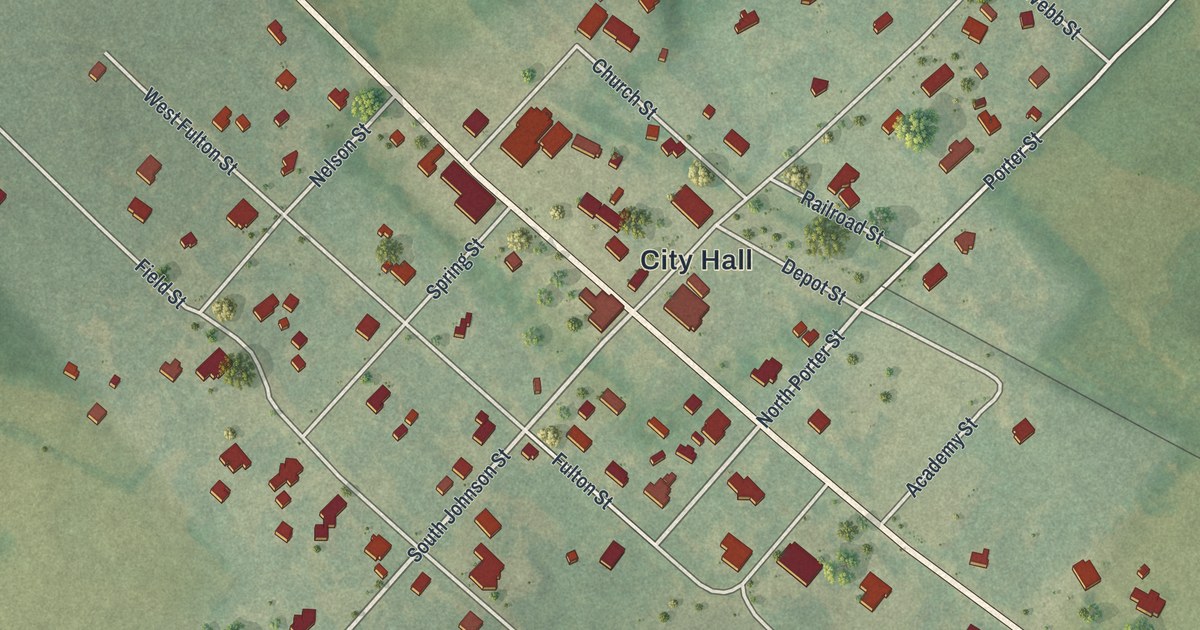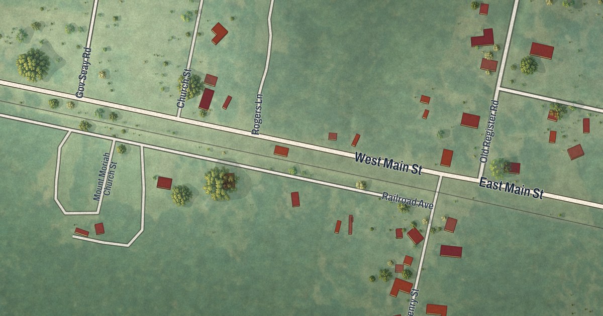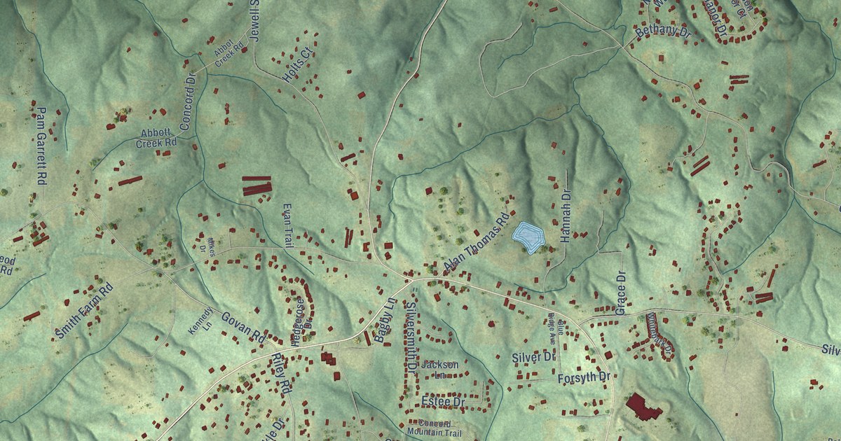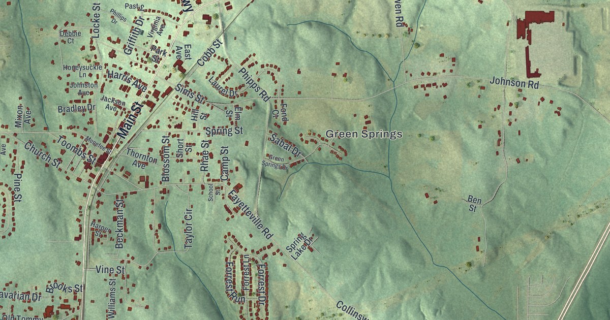
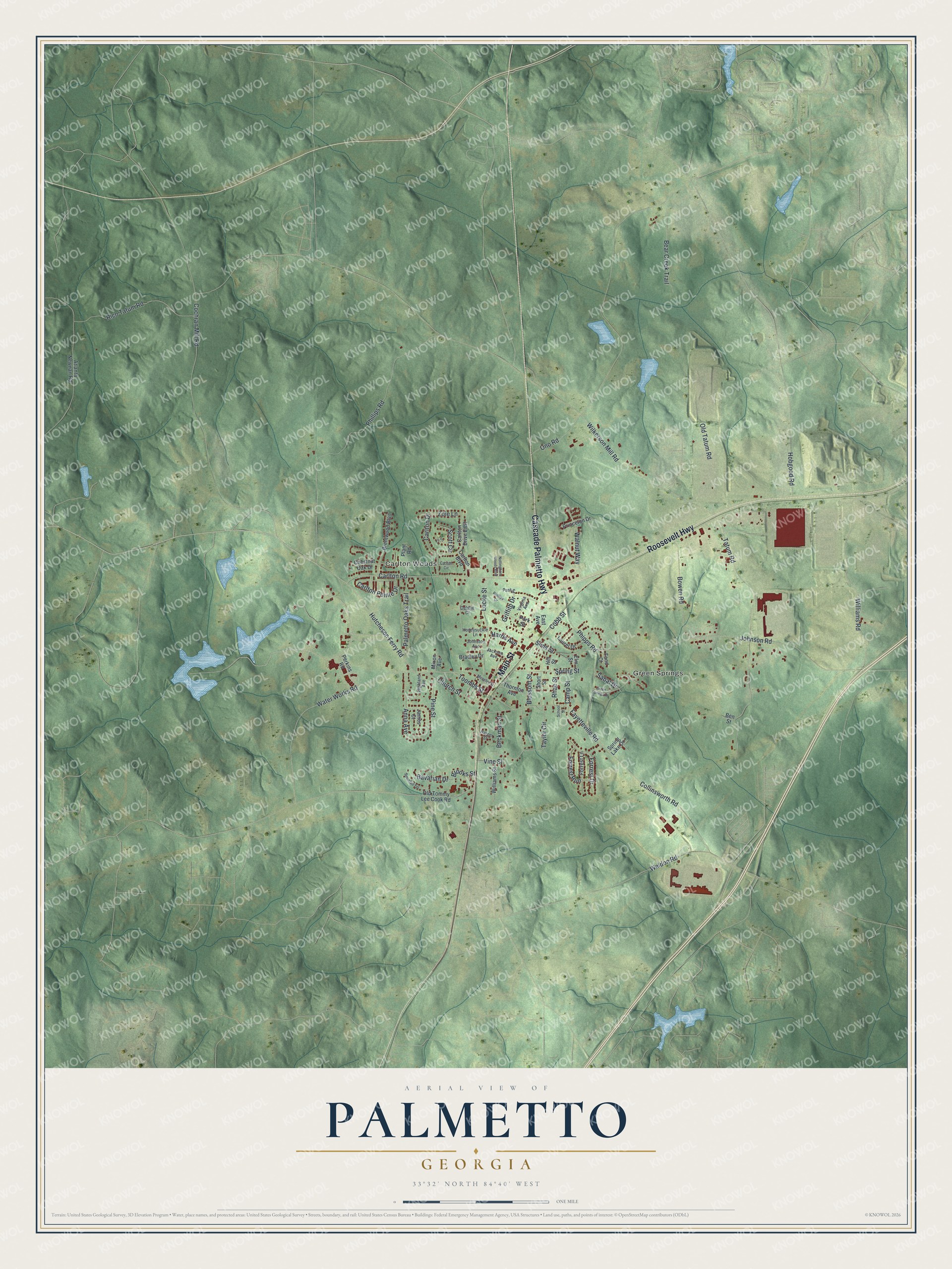
This beautifully detailed map of Palmetto, Georgia was created in 2026 using aerial imagery combined with modern topographical, census, street and landmark data. It’s a one-of-a-kind view of Palmetto that combines accurate data with a vintage aesthetic. The map shows every building in its true location, many of the roads carry their names, and the shaded topographic relief shows the shape of the land.
Explore an aerial view of Palmetto, Georgia
On the map you’ll find Green Springs and Carlton Woods, along with Main Street, Roosevelt Highway, Cascade Palmetto Highway, Vine Street, Hutcheson Ferry Road, and more. If you look closely you can even find your house accurately drawn in its correct location. Zoom in on the preview to look for yours.
Did You Know?
On September 21, 1864, General John B. Hood brought 40,000 Confederate soldiers to Palmetto Station. He planned to cut the Union supply lines. Jefferson Davis came to review the troops and promised help. Hood marched north, hoping Sherman would follow. Sherman ignored him and pushed on to Savannah. That’s from the 1940 WPA guide to Georgia.
Take a closer look at the Palmetto map
Names on this map
These names are printed on this map.
Places: Green Springs and Carlton Woods.
Streets and roads: Main Street, Roosevelt Highway, Cascade Palmetto Highway, Vine Street, Hutcheson Ferry Road, Toombs Street, Fayetteville Road, Collinsworth Road, Water Works Road, Johnson Road, Tatum Road, Carlton Road.
More street names, A to Z
Anna Avenue, Atlanta Newnan Road, Bavarian Drive, Bear Creek Trail, Beckman Street, Ben Street, Blossom Street, Bowen Road, Bradley Drive, Brentwood Boulevard, Brooks Street, Camp Street, Carlton Boulevard, Carlton Circle, Carlton Drive, Carlton Drive East, Carlton Pointe Drive, Chestnut Oak Drive, Church Street, Cobb Street, Cochran Mill Road, Debbie Court, East Avenue, Elm Street, Fond Court, Forrest Drive, Forrest Lane, Forrest Run, Green Springs Drive, Griffith Drive, Harper Street, Harris Avenue, Highland Avenue, Hill Street, Hobgood Road, Honeysuckle Lane, Jackson Avenue, James Court, Johnston Avenue, Laurel Drive, Locke Street, Menefee Street, Mixon Avenue, Nottingham Woods Boulevard, Old Tatum Road, Old Tommy Lee Cook Road, Ono Road, Palmetto Oaks Trail, Park Street, Past Street, Perkins Road, Phillips Drive, Phillips Road, Phipps Road, Pine Street, Plant Road, Princeton Drive, Rhae Street, Rico Tatum Road, Sabal Drive, School Street, Scott Circle, Short Street, Sims Street, Snowfall Terrace, Spring Lake Drive, Spring Street, Taylor Circle, Thornton Avenue, Tori Court, Virginia Avenue, Walnut Way, Weldon Road, Wilkerson Mill Road, Williams Road, Williams Street, Zoie Lane.
See it on a wall
The Palmetto map as a framed print. Swipe for more.


This beautifully detailed map of Palmetto makes an attractive addition to your office, library, or den, and it can even be used to teach children the geography and history of the area. It also makes a great gift for someone who left Palmetto and still calls it home. When you’re done exploring, click here to get your copy of the Palmetto map.