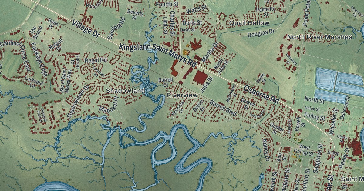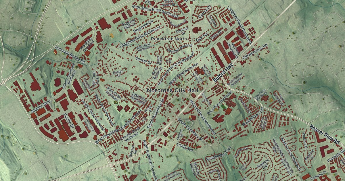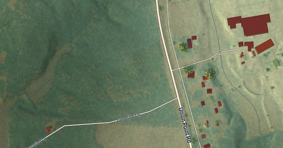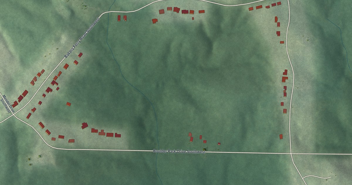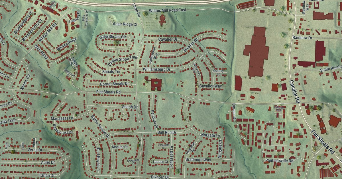
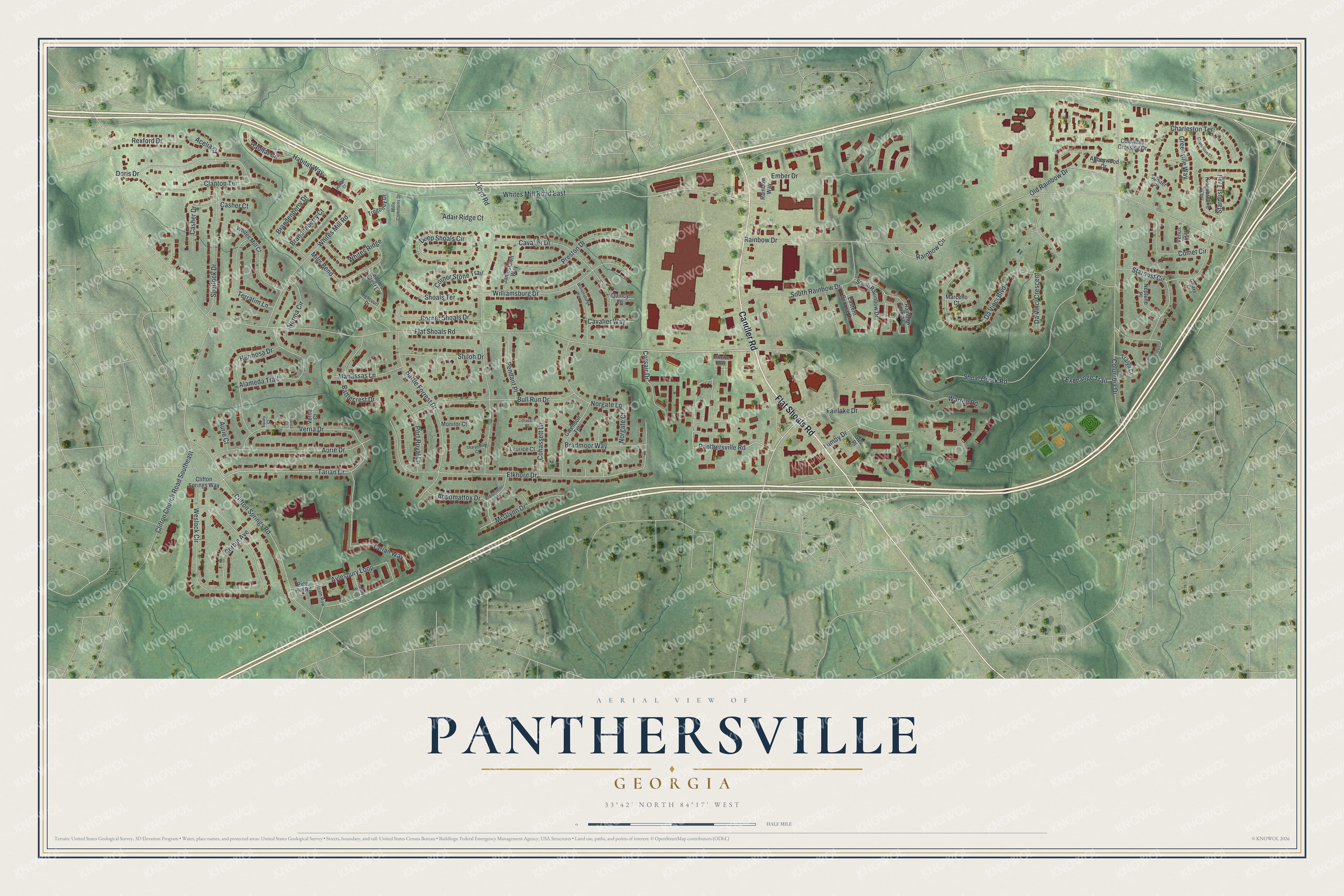
This beautifully detailed map of Panthersville, Georgia was created in 2026 using aerial imagery combined with modern topographical, census, street and landmark data. It’s a one-of-a-kind view of Panthersville that combines accurate data with a vintage aesthetic. The map shows every building in its true location, many of the roads carry their names, and the shaded topographic relief shows the shape of the land.
Explore an aerial view of Panthersville, Georgia
On the map you’ll find Flat Shoals Road, Candler Road, Panthersville Road, Ember Drive, Tarian Drive, and more. If you look closely you can even find your house accurately drawn in its correct location. Zoom in on the preview to look for yours.
Take a closer look at the Panthersville map
Names on this map
These names are printed on this map.
Streets and roads: Flat Shoals Road, Candler Road, Panthersville Road, Ember Drive, Tarian Drive, Stardust Circle, Whites Mill Road East, Rainbow Drive, Elkhorn Drive, Columbia Drive, Weslock Circle, Lloyd Road.
More street names, A to Z
Abbeywood Drive, Acelia Court, Adair Ridge Court, Alameda Trail, Appomattox Drive, Appomattox Way, Aurie Court, Aurie Drive, Aylesbury Loop, Battlecrest Drive, Battle Forrest Drive, Bianca Court, Bradmoor Way, Brandenberry Court, Brandenberry Drive, Bull Run Drive, Casher Court, Casher Drive, Cavalier Drive, Cavalier Way, Charleston Court, Charleston Terrace, Clanton Terrace, Clifton Church Road Southeast, Clifton Springs Road, Clifton Springs Way, Cohassett Court, Cohassett Lane, Columbia Crossing Drive, Comet Circle, Corbin Avenue, Corner Shoals Drive, Corner Stone Trail, Corsair Drive, Da Vinci Boulevard, Da Vinci Crescent, Deep Shoals Circle, Doris Drive, Eagles Crest Lane, Eastern Sunrise Lane, Exchange Trail, Fairlake Drive, Galaxy Court, Greenville Way, Gus Place, Gwendon Terrace, Habitat Circle, Habitat Court, Habitat Way, Heath Row, Hermosa Drive, Highcourt Drive, Hillside Way, Jamestown Way, Kingsbrooke Way, Laurice Court, Lumby Drive, Manassas Lane, Marcello Court, McGlynn Drive, Mills Bend, Mills Commons Drive, Monitor Court, Neptune Place, Norgate Court, Norgate Lane, Norma Circle, Old Rainbow Drive, Pendant Place, Picadilly Place, Pine Hill Road, Port Royal Lane, Preston Drive, Quincy Lane, Rainbow Circle, Rainbow Forest Circle, Rainbow Way, Rexford Drive, Sharpsburg Court, Sherlock Drive, Shiloh Drive, Shoal Creek Road, Shoals Terrace, South Rainbow Drive, South Rauinbow Drive, Stardust Court, Stardust Trail, Sumter Place, Tarian Way, Terratim Lane, Tipany Court, Tralyn Court, Tregoney Drive, Venus Way, Verna Court, Verna Drive, Warren Road, Whites Mill Court, Whites Mill Road, Whites Ridge, Williamsburg Drive, Williamsburg Way.
See it on a wall
The Panthersville map as a framed print. Swipe for more.


This beautifully detailed map of Panthersville makes an attractive addition to your office, library, or den, and it can even be used to teach children the geography and history of the area. It also makes a great gift for anyone with Panthersville roots. When you’re done exploring, click here to get your copy of the Panthersville map.