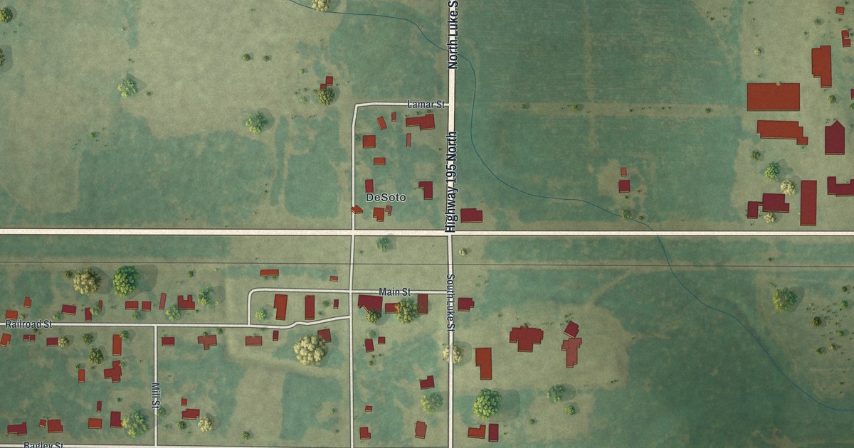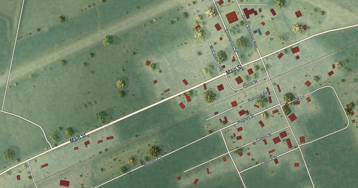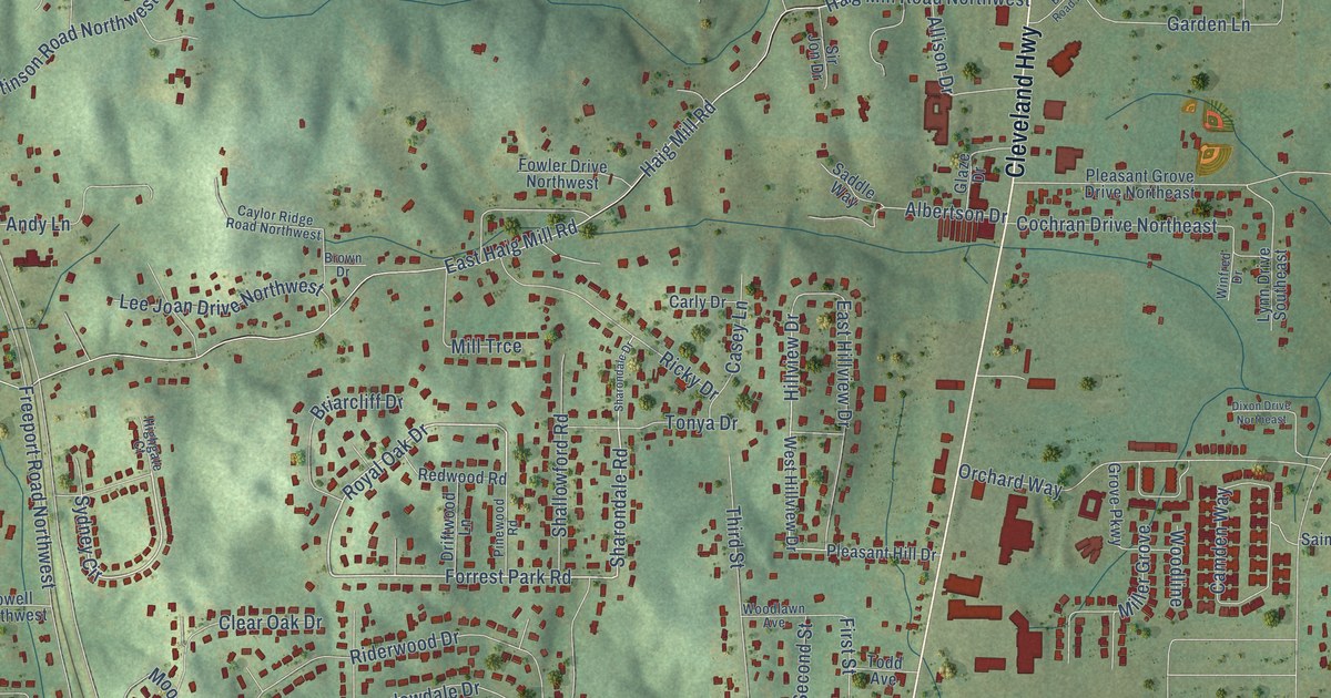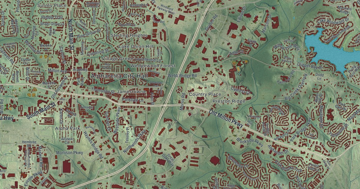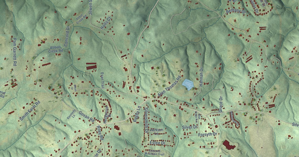
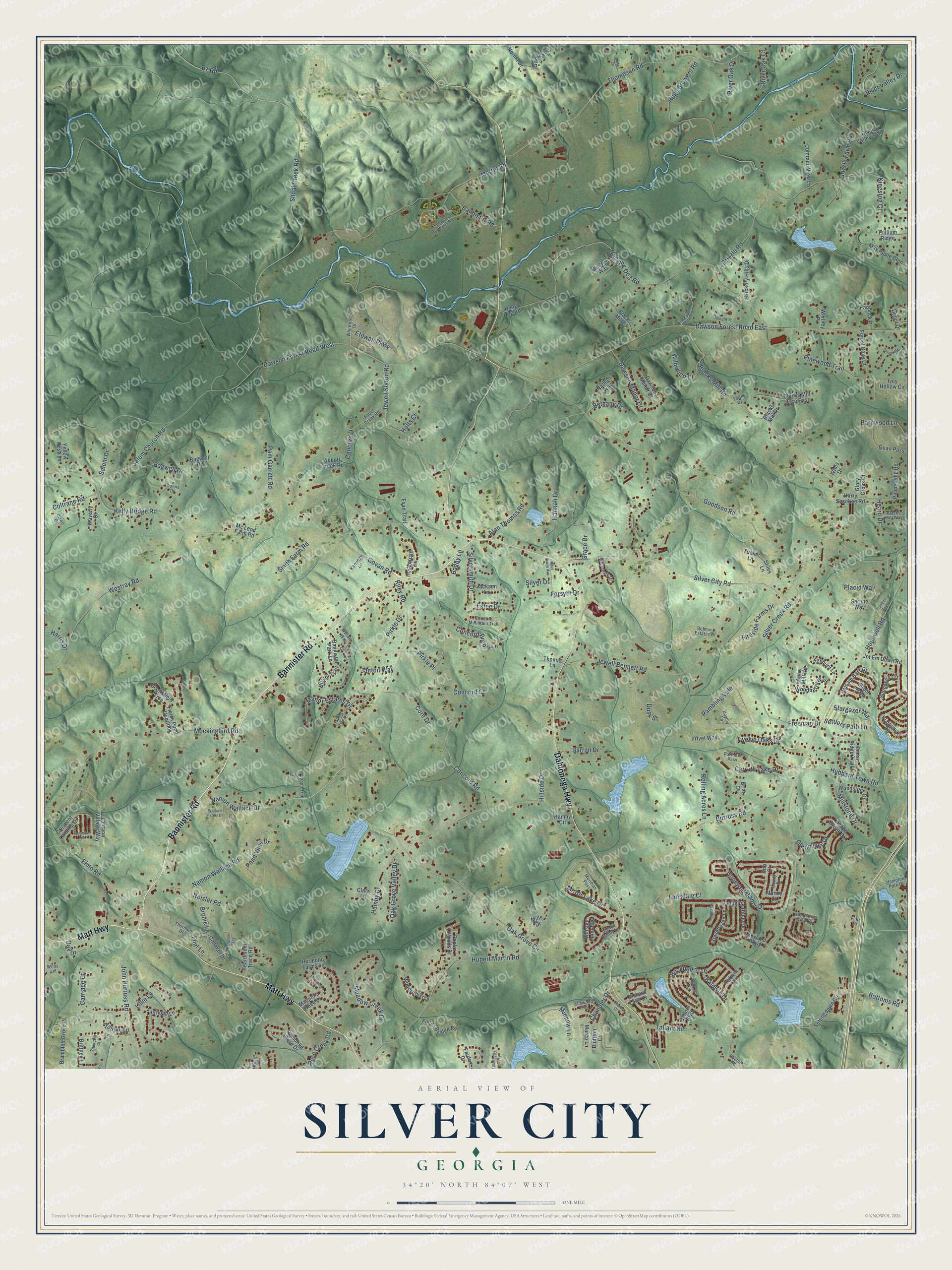
This beautifully detailed map of Silver City, Georgia was created in 2026 using aerial imagery combined with modern topographical, census, street and landmark data. It’s a one-of-a-kind view of Silver City that combines accurate data with a vintage aesthetic. The map shows every building in its true location, many of the roads carry their names, and the shaded topographic relief shows the shape of the land.
Explore an aerial view of Silver City, Georgia
On the map you’ll find Bannister Road, Dahlonega Highway, Matt Highway, Blacks Mill Road, Shoal Creek Road, Riley Road, Govan Road, Namon Wallace Road, Silver City Road, Namon Wallace Drive, P7 Road, Hopewell Road, and more. If you look closely you can even find your house accurately drawn in its correct location. Zoom in on the preview to look for yours.
Take a closer look at the Silver City map
Names on this map
These names are printed on this map.
Streets and roads: Bannister Road, Dahlonega Highway, Matt Highway, Blacks Mill Road, Shoal Creek Road, Riley Road, Govan Road, Namon Wallace Road, Silver City Road, Namon Wallace Drive, P7 Road, Hopewell Road.
More street names, A to Z
Abbot Creek Road, Abbott Creek Road, Alan Thomas Road, Ashbury Lane, Ashley Drive, Autry Mill Road, Bagby Lane, Bagwell Drive, Bagwell Road, Baldwin Drive, Balsam Bark Drive, Banner Boulevard, Bannister Park Lane, Barnwood Lane, Barron Drive, Belmont Estates Drive, Bergeson Way, Bethany Drive, Blacks Mill Court, Blacks Mill Drive, Blacks Mill Trce East, Blacks Mill Valley Road, Blacks Mill Way, Blooming Court, Blue Ridge Avenue, Bluffton Court, Bolton Drive, Bottoms Road, Bramblett Grove Place, Briar Court, Bristol Trail, Brittney Lane, Brome Lane, Bucknell Trce, Burruss Road, Cabrini Place, Carriage Court, Carruth Lake Drive, Cedar Ridge Trail, Chandler Drive, Chaney Court, Churchill Court, Church Road, Clark Lane, Colorado View Lane, Coltman Drive, Coltrane Road, Concord Brook Lane, Concord Court, Concord Drive, Concord Mountain Trail, Concord Road, Conductor Drive, Corn Drive, Crescent Landing Drive, Dawson Forest Road East, Dawson Forest Road West, Dawson Manor Court, Dawson Manor Drive, Daylily Lane, Depot Drive, Devon Drive, Dixon Drive, Donna Drive, Dusk Street, Elmo Road, Elmwood Trail, Estee Drive, Etowah Parkway, Evan Trail, Fairfax Drive, Fairhope Lane, Faith Drive, Falls Drive, Fieldgate Ridge Drive, Fields Bridge Road, Fields Pond Overlook, Fieldstone View Circle, Fireside Farms Drive, Flint Lane, Forest Cove Court, Forsyth Drive, Freeman Drive, Gamez Lane, Glenn Ivey Drive, Glory Cross Court, Goodson Road, Grace Drive, Grizzle Farm Road, Grizzle Road, Hamby Circle, Hamby Drive, Hampton Park Drive, Hang Dog Road, Hanging Dog Road, Hannah Drive, Harris Drive, Harry Sosebee Road, Heard Drive, Heardmont Trace Road, Hedge Brook Drive, Hedgerose Drive, Hermond Farms Lane, Hickory Hills Drive, Hidden Valley Lane, Hillside Drive, Holts Court, Hopewell Manor Drive, Hubbard Town Road, Hubert Martin Road, Hugh Stowers Road, Ivey Hollow Circle, Jackson Lane, Janton Way, Jewell Bennett Road, Jewell Slaton Road, John Burruss Road, Jot Em Down Road, Kelly Bridge Road, Kennedy Lane, Kingston Court, Lansdale Court, Lantana Village Way, Lillie Lane, Little Pond Trail, Livingston Court, Magnolia Creek Drive, Manor Estates Drive, Marco Lane, Martin Road, May Apple Glen, Mc Leod Farm Road, Me-N-U Way, Meadow Creek Drive, Meridian Pass, Mikes Drive, Mills Drive, Millstone Drive, Minnow Lane, Mirror Lake Drive, Mockingbird Road, Mundy Court, Mundy Drive, Nathan Way, Neisler Road, Norma Drive, Oak Drive, Oak Grove Circle, Oak Grove Valley Drive, Orchard Lake Drive, Paddock Place, Pam Garrett Road, Partners Pass, Pineneedle Road, Pinewood Trail, Pirkle Drive, Pirkle Place, Placid Way, Plainsman Circle, Pond View Drive, Poplar Woods Drive, Privet Way, Quail Pass, Rambling Vale, Ramdling Rose Drive, Ripken Road, River Oak Court, River Oak Drive, River Valley Drive, River Valley Trail, Rob Court, Robins Way, Rolling Acres Lane, Rose Creek Road, Rose Lane, Salem Church Road, Salem Drive, Scottsfield Trce, Serene Way, Settingdown Circle, Settlers Path Lane, Silent Path, Silver Creek Road, Silver Drive, Silversmith Drive, Skyland Parkway, Smith Farm Road, Sparrow Lane, Stargazer Way, Stevehaven Lane, Stiles Lane, Sundance Circle, Talking Tree Lane, Tallant Road, Thomas Lane, Thompson Bottoms Road, Thompson Road, Thornton Drive, Tranquil Pass, Trillium Ridge, Tucker Lane, Twelve Oaks Drive, Wallace Farms Drive, Walls Drive, Waverly Court, Wessex Way, Westray Road, Whisper Point Boulevard, Whitebark Drive, Whitewood Drive, Whitney Place, Wildwood Court, Willis Lane, Wimberly Way, Woodberry Walk, Woodruff Trce, Woodstone Drive, Yellow Rose Lane.
See it on a wall
The Silver City map as a framed print. Swipe for more.


This beautifully detailed map of Silver City makes an attractive addition to your office, library, or den, and it can even be used to teach children the geography and history of the area. It also makes a great gift for anyone with Silver City roots. When you’re done exploring, click here to get your copy of the Silver City map.