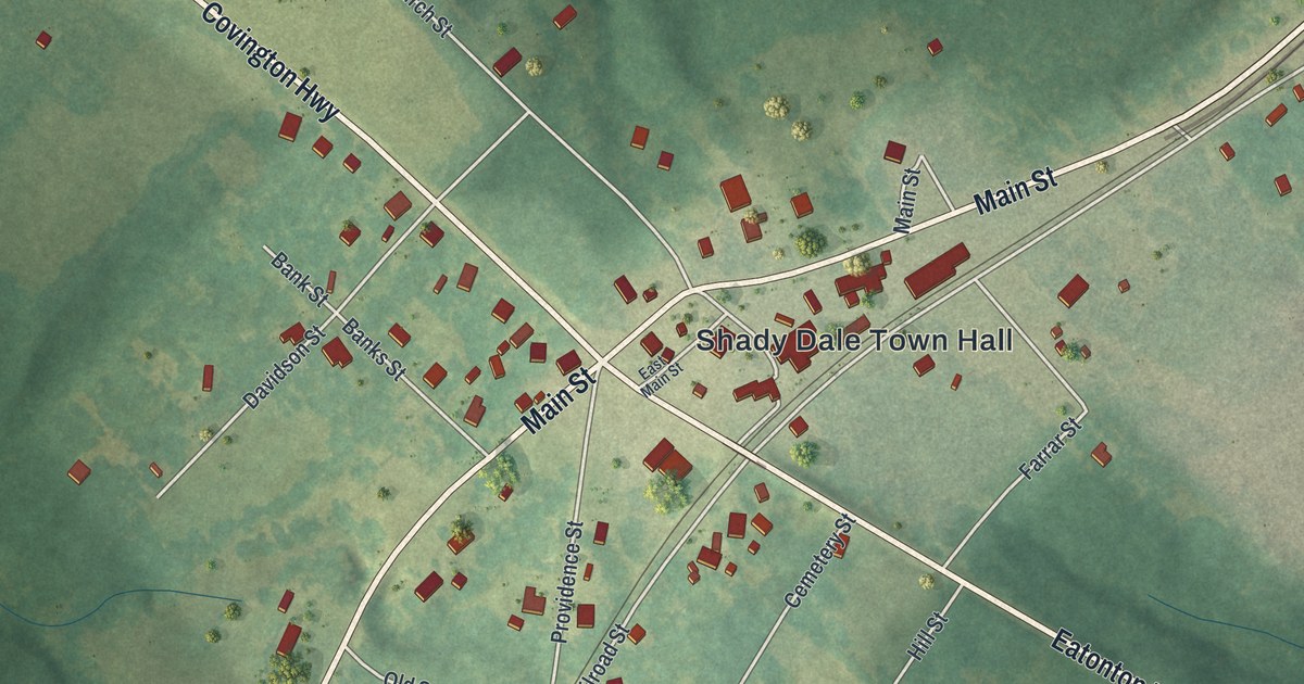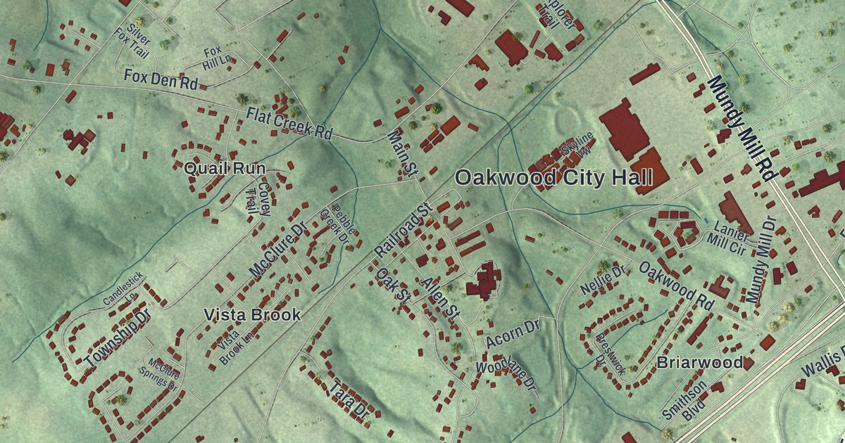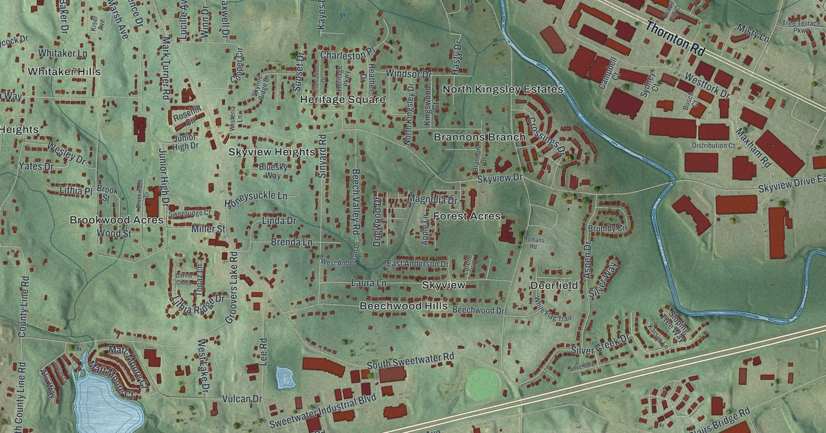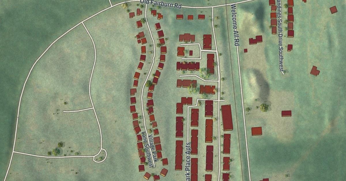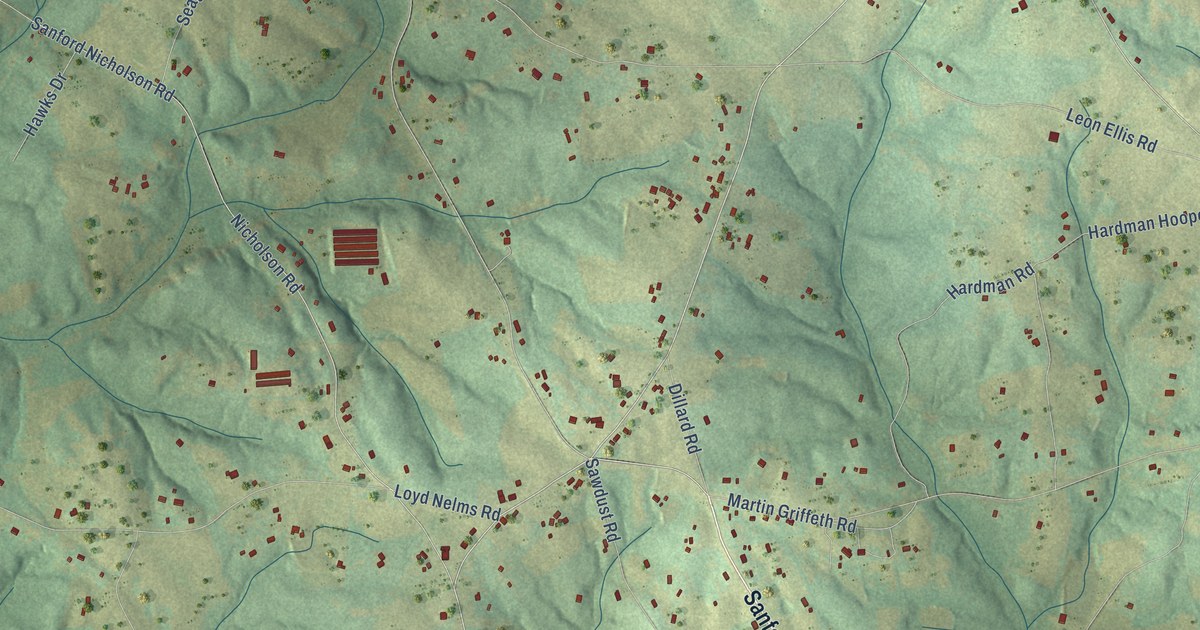
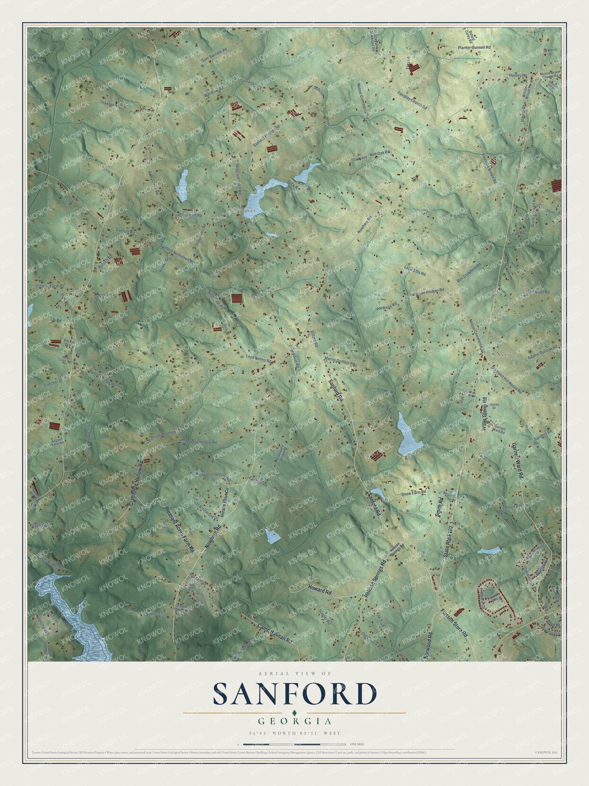
This beautifully detailed map of Sanford, Georgia was created in 2026 using aerial imagery combined with modern topographical, census, street and landmark data. It’s a one-of-a-kind view of Sanford that combines accurate data with a vintage aesthetic. The map shows every building in its true location, many of the roads carry their names, and the shaded topographic relief shows the shape of the land.
Explore an aerial view of Sanford, Georgia
On the map you’ll find Neese, Seagraves, and State Rte F192-1, along with Nowhere Road, Sanford Road, Fortson Store Road, Garnett Ward Road, Helican Springs Road, Willis Glenn Road, Pleasant Acres Farm Road, Smith Road, Howard Road, and more. If you look closely you can even find your house accurately drawn in its correct location. Zoom in on the preview to look for yours.
Take a closer look at the Sanford map
Names on this map
These names are printed on this map.
Places: Neese, Seagraves and Piedmont Park.
Streets and roads: Nowhere Road, Sanford Road, Fortson Store Road, Garnett Ward Road, Helican Springs Road, Willis Glenn Road, Pleasant Acres Farm Road, Smith Road, Howard Road, Crabapple Hollow Road, Camp Halinan Road, Norwood Road.
More street names, A to Z
Adams Duncan Road, Adams Hill Road, Amberly Drive, Asgard Farm Road, Barnett Road, Beck Road, Beckys Way, Beecher Hill Road, Ben Crawford Road, Bob Holman Road, Briarwood Lane, Buford Carey Road, Candlestick Drive, Carither Road, Cooper Farm Road, Coyal Strickland Road, Crabapple Hollow Drive, Diamond Hill Neese Road, Dillard Road, Dl Harris Drive, Don el Drive, Doris Lane, Duncan Drive, Fairplay Church Road, Fleeman Brown Road, Fletcher Drive, Fox Trail, Griffith Road, Hanley Drive, Hanley Road, Hardman Hooper Road, Hardman Road, Hawks Drive, Helicon Springs Road, Horace Elnut Circle, Hunters Ridge Road, Jamieson Road, Jason Drive, Kesler Road, Kimberly Circle, Kimberly Way, Lbj Road, Lee Drive, Leon Ellis Road, Lincoln Lane, Line Creek Road, Loyd Nelms Road, Martin Griffeth Road, Moons Grove Church Road, Neese-Commerce Road, Neese Commerce Road, Nicholson Road, Nowhere Lane, Oak Circle, October Woods Drive, Old Church Road, Piedmont Road, Pittman Matthews Road, Planter Gunnell Road, Post Oak Drive, Pr Driveway, Red Oak Road, Rocky Branch Hollow Road, Rose Hill Drive, Rose Hill Place, Roy Smith Road, Sailors Road, Sam Swindle Road, Sanders Road, Sandy Springs Drive, Sanford Nicholson Road, Sanford Planter Road, Sawdust Road, Seagraves Mill Road, Seagraves Road, Shady Hollow Trail, Shady Lane, Short Cut Road, Snow Farm Road, Stapler Road, Stone Stewart Road, Stoy Smith Road, Sweet Creek Trail, Thaxton Road, Thomas Drive, Thomas Road, Three Rivers Court, Troy Lane, Wages Bridge Road, Wardlaw Road, Waterford Drive, Waterford Place, West Briarwood Drive, Williams Wilson Road, Wrigley Court.
See it on a wall
The Sanford map as a framed print. Swipe for more.


This beautifully detailed map of Sanford makes an attractive addition to your office, library, or den, and it can even be used to teach children the geography and history of the area. It also makes a great gift for anyone with Sanford roots. When you’re done exploring, click here to get your copy of the Sanford map.