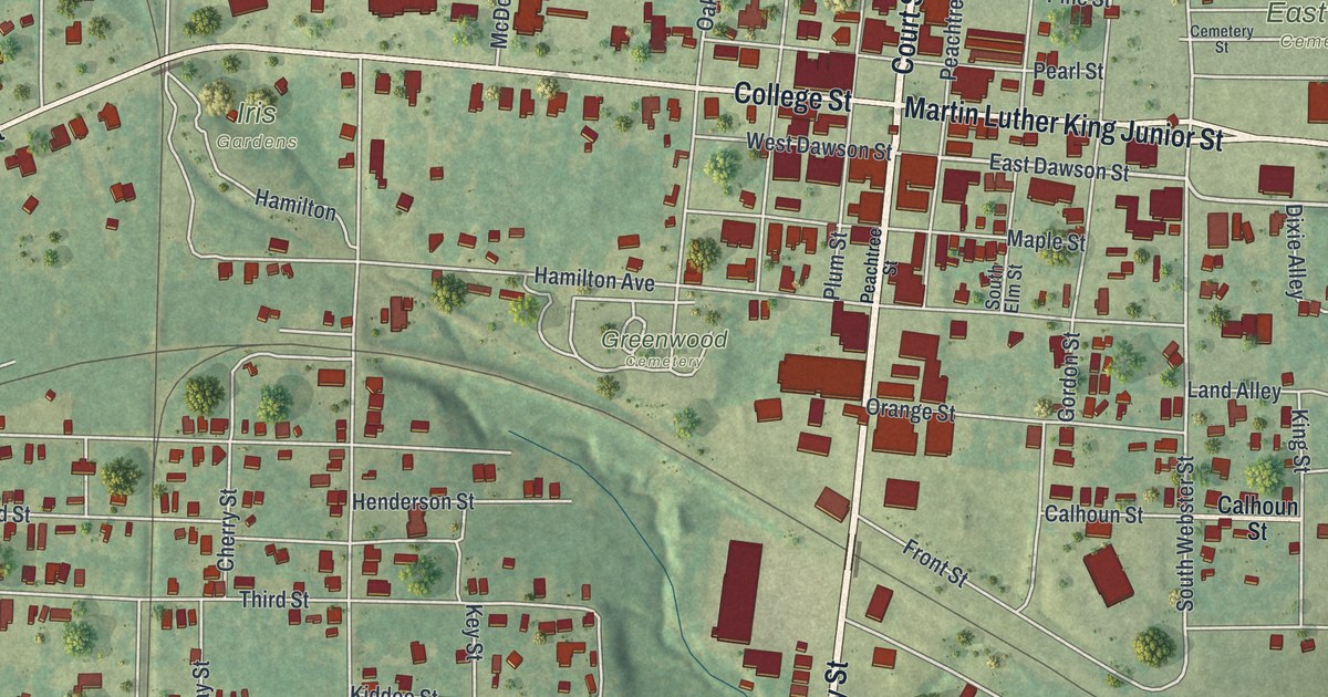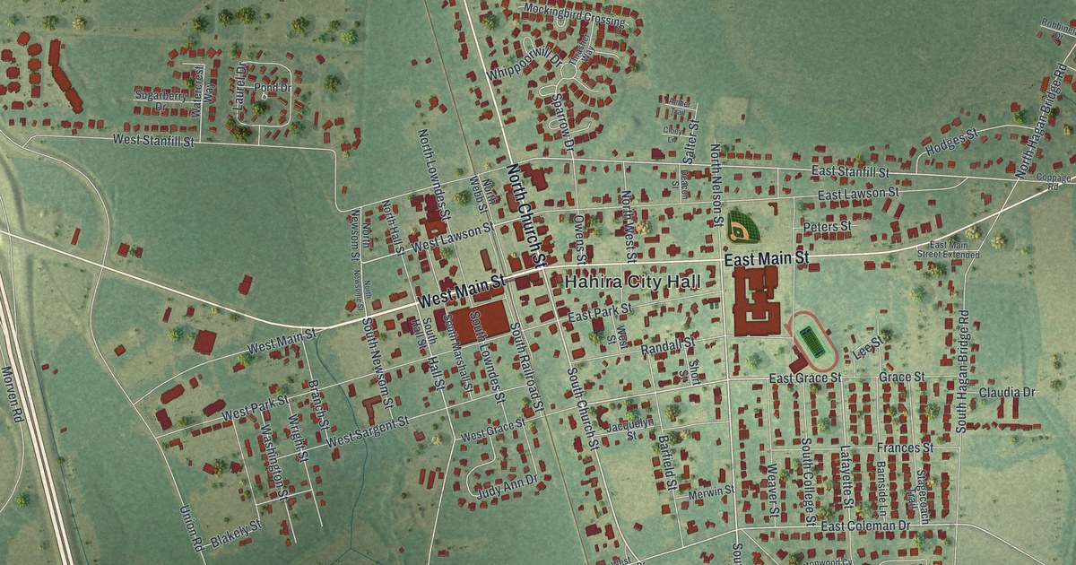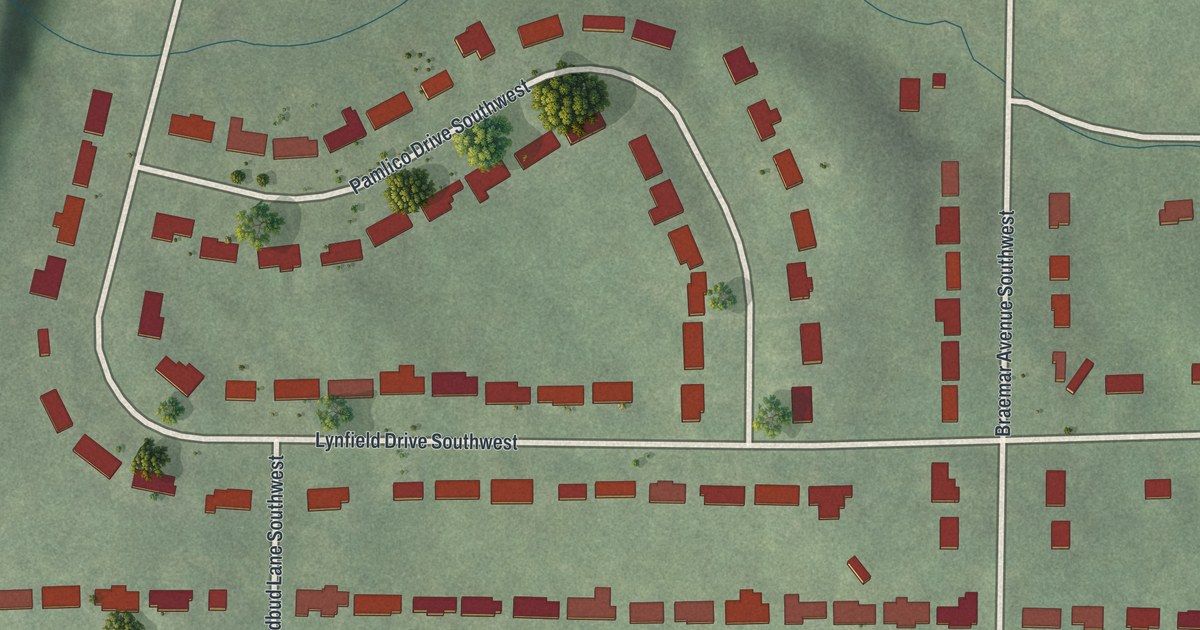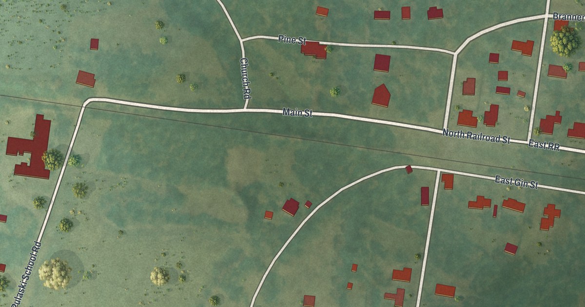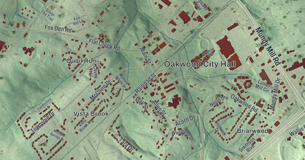
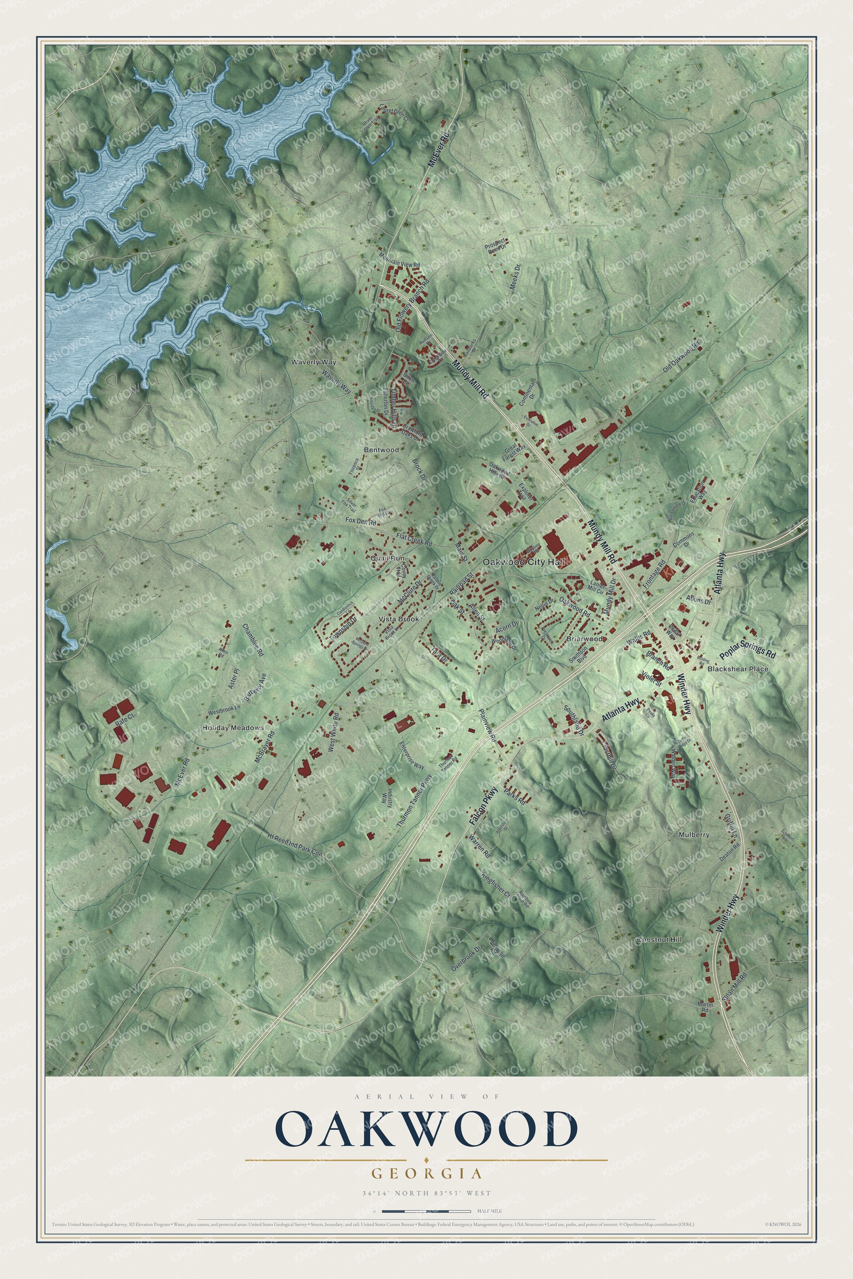
This beautifully detailed map of Oakwood, Georgia was created in 2026 using aerial imagery combined with modern topographical, census, street and landmark data. It’s a one-of-a-kind view of Oakwood that combines accurate data with a vintage aesthetic. The map shows every building in its true location, many of the roads carry their names, and the shaded topographic relief shows the shape of the land.
Explore an aerial view of Oakwood, Georgia
On the map you’ll find Oakwood City Hall, Bentwood, Blackshear Place, Briarwood, Chestnut Hill, and Holiday Meadows, along with Winder Highway, Mundy Mill Road, Atlanta Highway, McEver Road, and more. If you look closely you can even find your house accurately drawn in its correct location. Zoom in on the preview to look for yours.
Did You Know?
Oakwood began in 1873 as O’Dell’s Crossing. Wood-burning trains stopped here often to take on fuel. So in 1896 the stop took the name Oakwood. The state legislature incorporated the town in 1903.
Take a closer look at the Oakwood map
Names on this map
These names are printed on this map.
Places: Oakwood City Hall, Bentwood, Blackshear Place, Briarwood, Chestnut Hill, Holiday Meadows, Mulberry, Quail Run, Vista Brook and Waverly Way.
Streets and roads: Winder Highway, Mundy Mill Road, Atlanta Highway, McEver Road, Falcon Parkway, Poplar Springs Road, Frontage Road, Hf Reed Ind Park Con, Overbrook Drive, Acorn Drive, Thurmon Tanner Parkway, Old Oakwood Road.
More street names, A to Z
Alderstone Drive, Allen Road, Allen Street, Aster Place, Atkins Drive, Barberry Avenue, Birch Court, Bolding Road, Branch Road, Brock Drive, Candlestick Lane, Cedar Ridge Drive, Cedar Way, Chamblee Road, Commons Drive, Continental Drive, Covey Trail, Crawford Oaks Drive, Creekside Place, Cresthill Drive, Deaton Road, Education Way, Enterprise Way, Executive Drive, Explorer Trail, Fairbanks Drive, Flat Creek Road, Florence Street, Forestview Drive, Fox Den Road, Fox Hill Lane, Fullerton Drive, Great Forest Way, Griffin Lane, Harwood Road, Hudson Drive, Industry Way, Kingfisher Court, Lanier Mill Circle, Laurel Glen Court, Main Street, Martin Road, McBrayer Road, McClure Drive, McClure Springs Drive, Meeks Drive, Mountain View Road, Mundy Mill Drive, Nellie Drive, Oak Street, Oakwood Hills Drive, Oakwood Road, Old Flowery Branch Road, Parks Road, Peaks Circle, Pebble Creek Drive, Plainview Road, Prestwick Drive, Prospect Point Drive, Rafe Court, Railroad Street, Rainbow Trout Road, River Glen Trail, Rutledge Drive, Schubert Road, Silver Fox Trail, Skyline Vw, Sloan Mill Road, Smithson Boulevard, Southland Drive, Tara Drive, Thurmon Tanner Road, Timber Hills Drive, Township Drive, Violet Street, Vista Brook Lane, Walden Way, Wallis Road, Warren Road, Westbrook Lane, West White Road, Woodlane Drive.
See it on a wall
The Oakwood map as a framed print. Swipe for more.


This beautifully detailed map of Oakwood makes an attractive addition to your office, library, or den, and it can even be used to teach children the geography and history of the area. It also makes a great gift for someone who left Oakwood and still calls it home. When you’re done exploring, click here to get your copy of the Oakwood map.