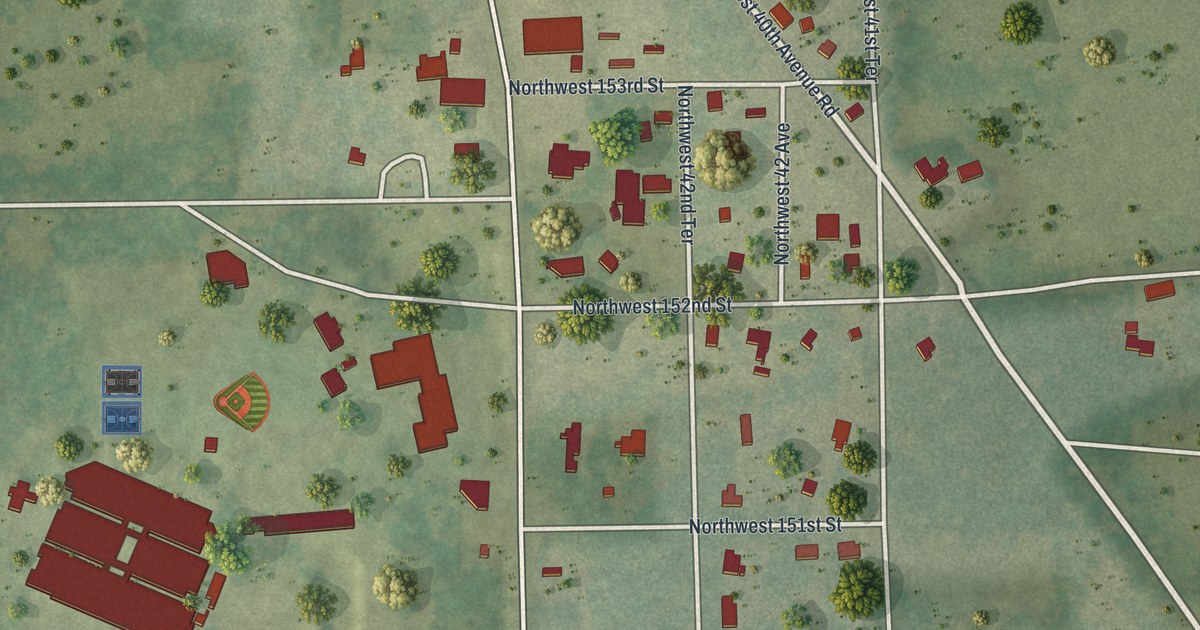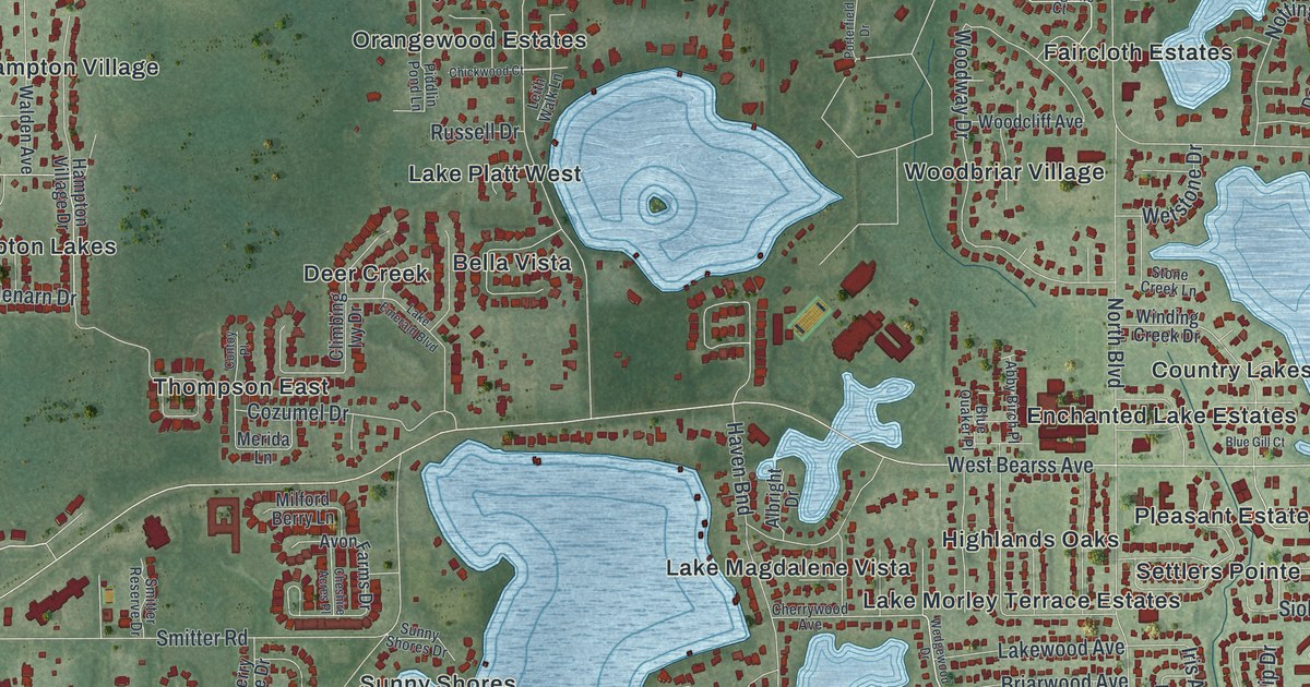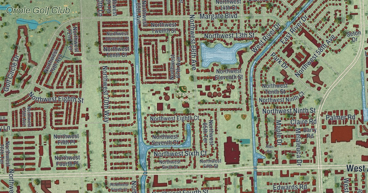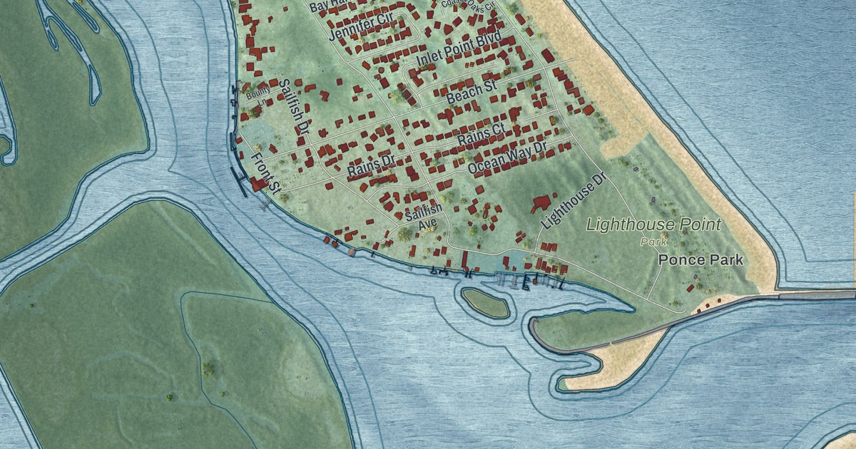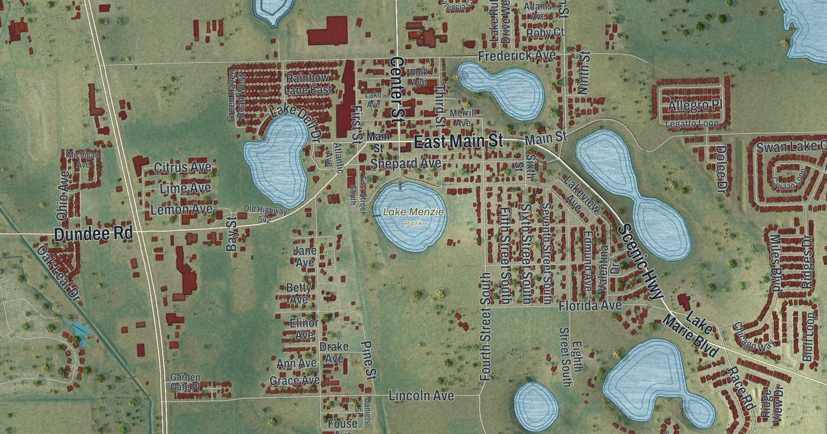
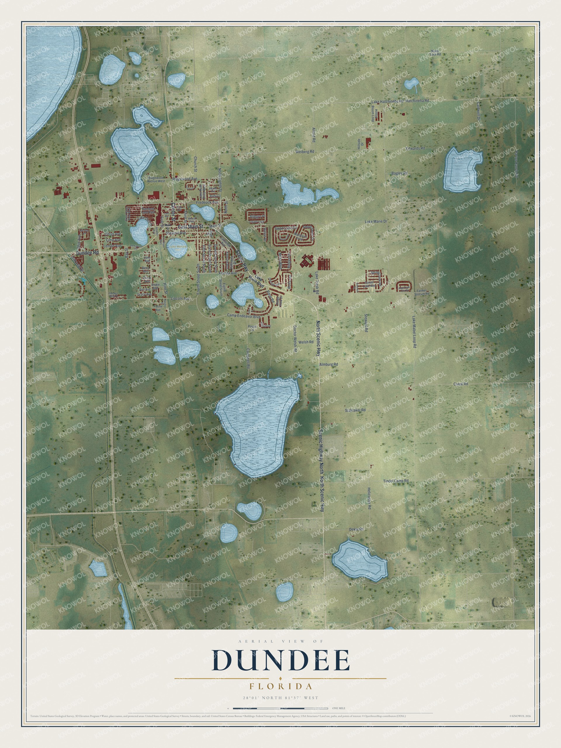
This beautifully detailed map of Dundee, Florida was created in 2026 using aerial imagery combined with modern topographical, census, street and landmark data. It’s a one-of-a-kind view of Dundee that combines accurate data with a vintage aesthetic. The map shows every building in its true location, many of the roads carry their names, and the shaded topographic relief shows the shape of the land.
Explore an aerial view of Dundee, Florida
On the map you’ll find Lake Menzie Park, along with Scenic Highway, East Main Street, North Scenic Highway, Dundee Road, Center Street, Scenic Highway North, Camp Endeavor Boulevard, Race Road, Main Street, North Eighth Street, Fourth Street South, and more. If you look closely you can even find your house accurately drawn in its correct location. Zoom in on the preview to look for yours.
Did You Know?
Dundee took its name from Dundee in Scotland. Settlers first arrived in 1911, and a post office named Dundee opened in 1912. In an April 2024 vote, 68 percent of voters chose to keep Dundee a town instead of making it a city.
Take a closer look at the Dundee map
Names on this map
These names are printed on this map.
Places: Lake Menzie Park.
Streets and roads: Scenic Highway, East Main Street, North Scenic Highway, Dundee Road, Center Street, Scenic Highway North, Camp Endeavor Boulevard, Race Road, Main Street, North Eighth Street, Fourth Street South, Weiberg Road.
More street names, A to Z
Adams Avenue, Alford Road, Allegro Place, Almburg Road, Amber Sweet Circle, Ann Avenue, Argyle Gate Loop Road, Atlantic Avenue, Bagley Road, Bay Street, Betty Avenue, Bluff Loop, Caldwell Drive, Campbell Road, Canaan Loop, Canal Road, Chicago Way, Church Street, Citrus Avenue, Daniels Street, Dekle Road, Doctor Welsh Road, Dolce Drive, Drake Avenue, Edmund Avenue, Edwards Road, Eighth Street South, Elinor Avenue, Farmer Slocum Road, Fifth Street South, First Street, First Street South, Florida Avenue, Forest Lake Avenue, Fouse Avenue, Frederick Avenue, Garden Gate Place, Grace Avenue, Green Haven Road West, Hatchineha Road, Helicopter Road, Hillcrest Drive, Hillside Drive, Hilltop Bloom Loop, Jane Avenue, Lake Avenue, Lake Dell Drive, Lake Hatchineha Road, Lake Mabel Loop Road, Lake Marie Boulevard, Lake Marie Drive, Lake Ruth Drive West, Lake Trask Road, Lakeview Avenue, Legatto Loop, Lemon Avenue, Lime Avenue, Lincoln Avenue, Mandarin Loop, Merrill Avenue, Michigan Avenue, Miles Boulevard, Ninth Street, Oak Leaf Drive, Ohio Avenue, Old Highway 542, Parton Ranch Road, Pine Street, Polk Avenue, Poppy Lane, Rainbow Lane East, Ridges Drive, Ridge View Drive, Ridgewood Avenue, Ridgewood Avenue West, Roby Court, Seventh Street South, Shepard Avenue, Sixth Street, Sixth Street South, Spring Creek Road, Stalnaker Road, Steward Road, Sunbrook Road, Swan Lake Circle, Third Street, Tindel Camp Road, Valencia Court, Valentina Drive, Vista Drive, Water Tank Road, Welsh Road.
See it on a wall
The Dundee map as a framed print. Swipe for more.


This beautifully detailed map of Dundee makes an attractive addition to your office, library, or den, and it can even be used to teach children the geography and history of the area. It also makes a great gift for someone who left Dundee and still calls it home. When you’re done exploring, click here to get your copy of the Dundee map.