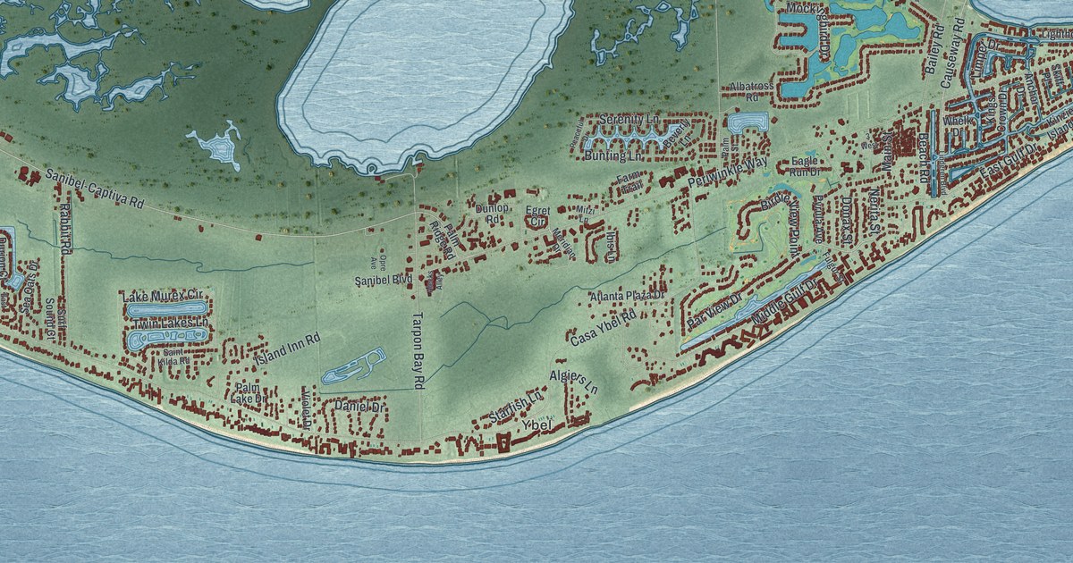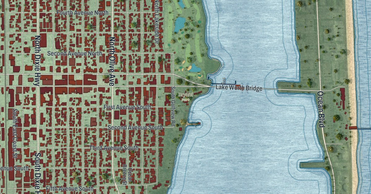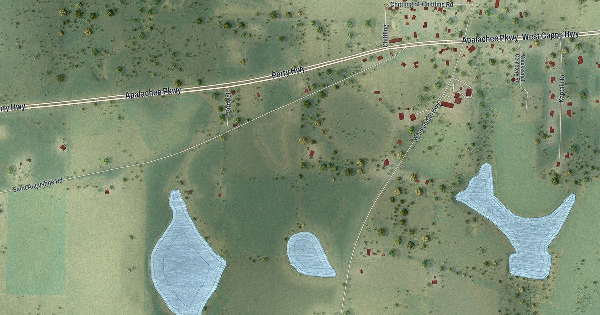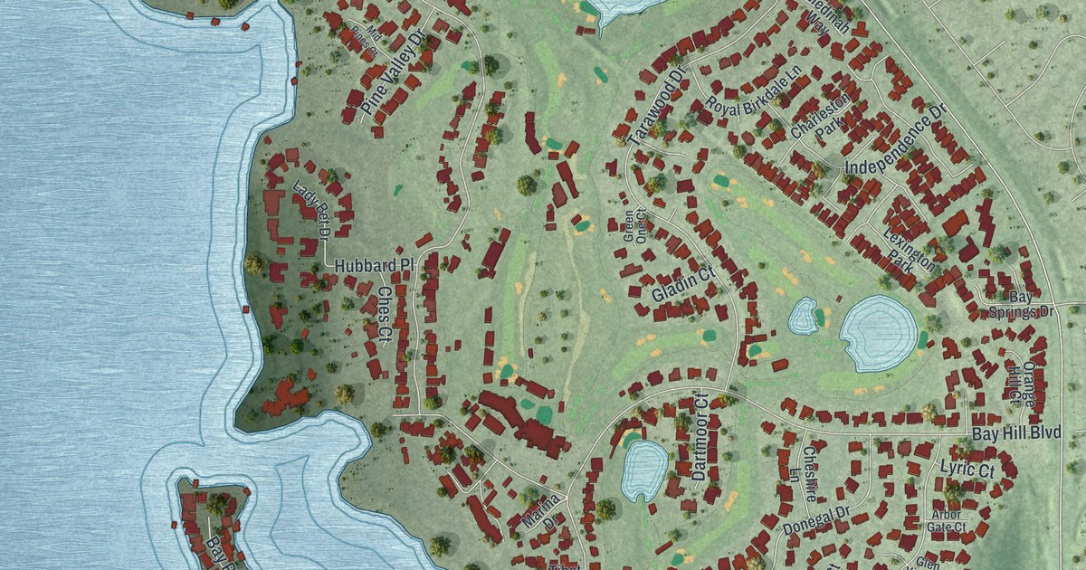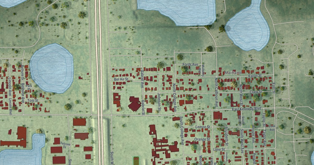
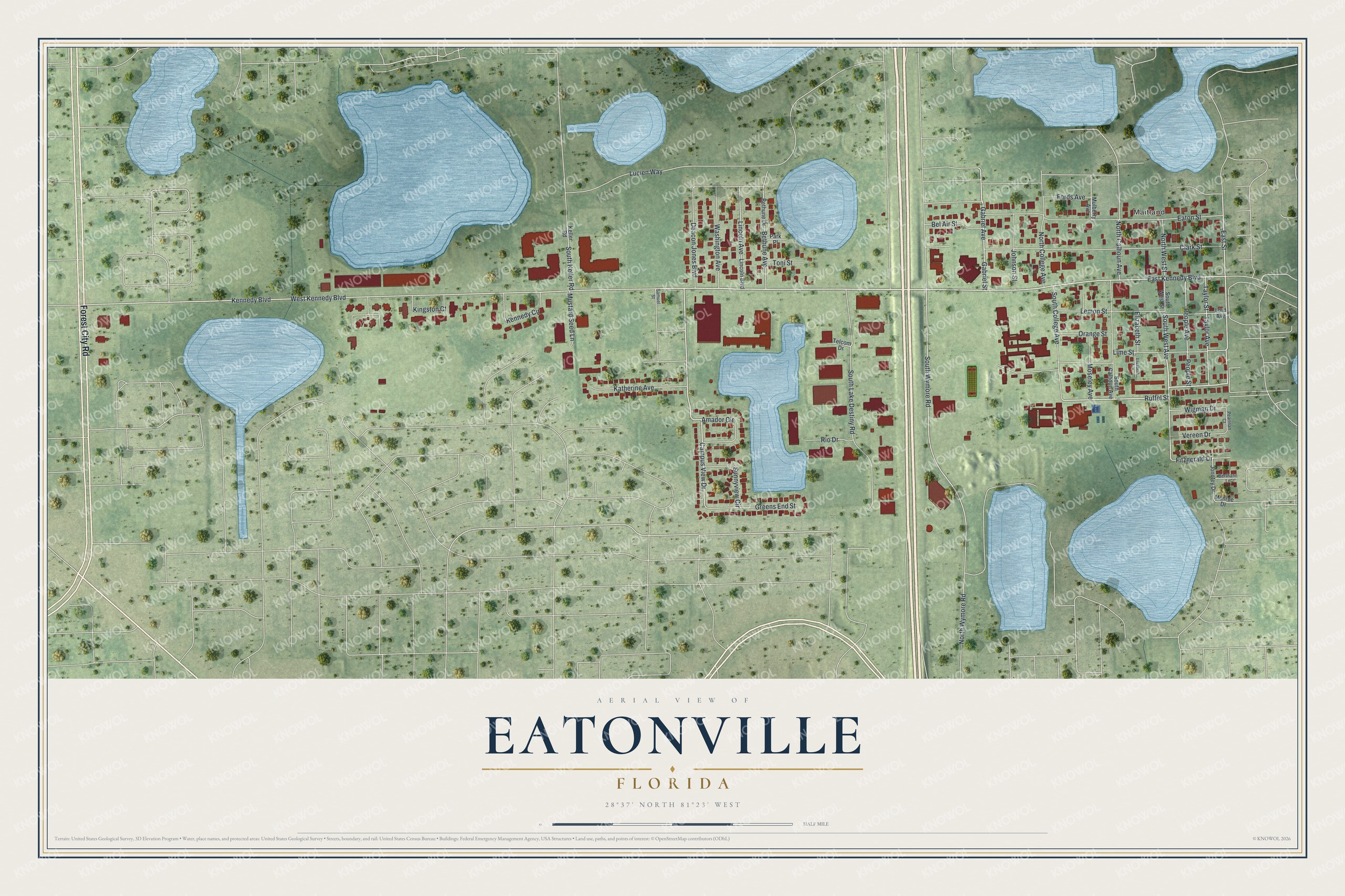
This beautifully detailed map of Eatonville, Florida was created in 2026 using aerial imagery combined with modern topographical, census, street and landmark data. It’s a one-of-a-kind view of Eatonville that combines accurate data with a vintage aesthetic. The map shows every building in its true location, many of the roads carry their names, and the shaded topographic relief shows the shape of the land.
Explore an aerial view of Eatonville, Florida
On the map you’ll find Maitland, along with Forest City Road, West Kennedy Boulevard, Kennedy Boulevard, Ruffel Street, South West Avenue, Campus View Drive, East Kennedy Boulevard, East Street, Gabriel Street, South Wymore Road, Gabriel Avenue, and more. If you look closely you can even find your house accurately drawn in its correct location. Zoom in on the preview to look for yours.
Did You Know?
Formerly enslaved people who hoped to found their own town found no one willing to sell them land. In 1881, Lewis Lawrence of Utica, New York, bought 22 acres from Captain Josiah Eaton. Eatonville was incorporated on August 15, 1887, as one of the first self-governing, all-Black towns in America.
Take a closer look at the Eatonville map
Names on this map
These names are printed on this map.
Places: Maitland.
Streets and roads: Forest City Road, West Kennedy Boulevard, Kennedy Boulevard, Ruffel Street, South West Avenue, Campus View Drive, East Kennedy Boulevard, East Street, Gabriel Street, South Wymore Road, Gabriel Avenue, South Lake Destiny Road.
More street names, A to Z
Amador Circle, Bel Air Street, Berthann Lane, Bethune Avenue, Bethune Drive, Clark Street, Deacon Jones Boulevard, Eaton Street, Elizabeth Avenue, Elizabeth Street, Fitzgerald Drive, Fords Avenue, Greens End Street, Johnson Street, Jonotey Drive, Katherine Avenue, Keller Road, Kennedy Circle, Kingston Court, Lemon Street, Lime Street, Lincoln Avenue, Lincoln Boulevard, Lord Avenue, Lucien Way, Monroe Drive, Moseley Avenue, Mulberry Avenue, Mustard Seed Lane, North Calhoun Avenue, North College Avenue, North West Street, North Wymore Road, Orange Street, Park Place, Pearlnan Court, People Avenue, People Street, Rio Drive, Samuel Street, South Calhoun Avenue, South College Avenue, South Keller Road, South West Street, Sunnyview Circle, Taylor Avenue, Taylor Street, Telcom Drive, Toni Street, Vereen Drive, Washington Avenue, Wigman Drive.
See it on a wall
The Eatonville map as a framed print. Swipe for more.


This beautifully detailed map of Eatonville makes an attractive addition to your office, library, or den, and it can even be used to teach children the geography and history of the area. It also makes a great gift for someone who left Eatonville and still calls it home. When you’re done exploring, click here to get your copy of the Eatonville map.