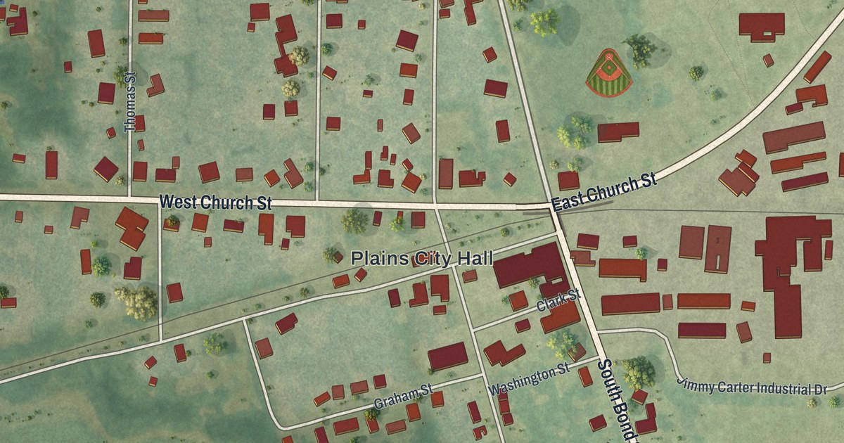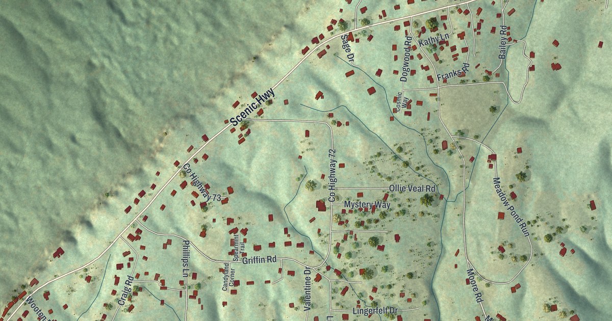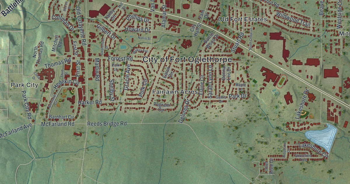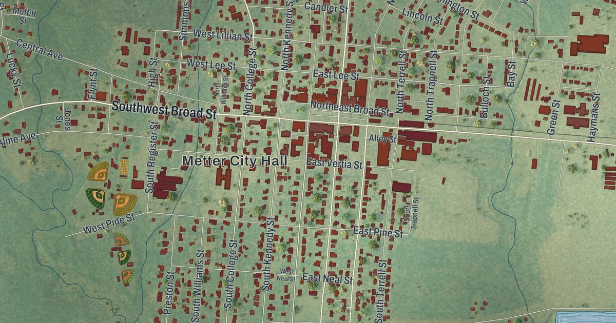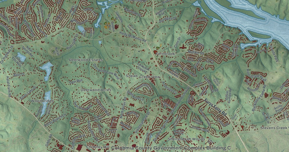
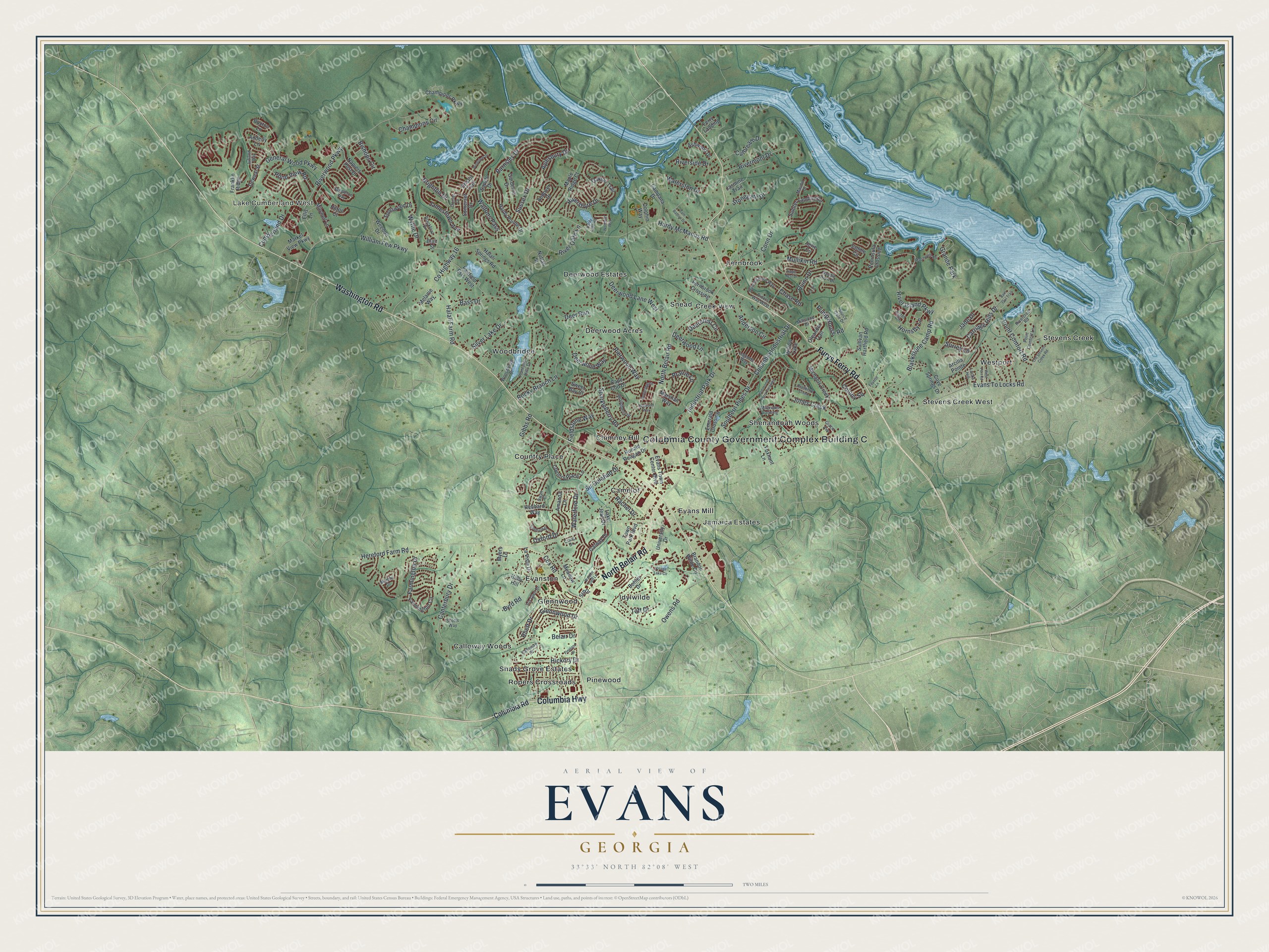
This beautifully detailed map of Evans, Georgia was created in 2026 using aerial imagery combined with modern topographical, census, street and landmark data. It’s a one-of-a-kind view of Evans that combines accurate data with a vintage aesthetic. The map shows every building in its true location, many of the roads carry their names, and the shaded topographic relief shows the shape of the land.
Explore an aerial view of Evans, Georgia
On the map you’ll find Colubmia County Government Complex Building C, Lake Cumberland West, Calloway Woods, Camelot, Chimney Hill, and Country Place, along with Belair Road, Washington Road, Furys Ferry Road, Columbia Highway, and more. If you look closely you can even find your house accurately drawn in its correct location. Zoom in on the preview to look for yours.
Did You Know?
Many people assume Evans honors General Clement A. Evans, the namesake of Evans County. His son, Lawton B. Evans, said otherwise in an interview with the Augusta Chronicle. He explained that the community took its name from a different Evans family with no tie to the general.
Take a closer look at the Evans map
Names on this map
These names are printed on this map.
Places: Colubmia County Government Complex Building C, Lake Cumberland West, Calloway Woods, Camelot, Chimney Hill, Country Place, Creek View, Deerwood Acres, Deerwood Estates, Evans Mill, Evanston, Fernbrook, Glennwood, Idylwilde, Jamaica Estates, Pinewood, Ropers Crossroads, Shady Grove Estates, Shenandoah Woods, Snead, Stevens Creek, Stevens Creek West, Westport, Woodbridge, Grande Park and Willow Lake.
Streets and roads: North Belair Road, Washington Road, Furys Ferry Road, Columbia Highway, Evans To Locks Road, Hardy McManus Road, Hereford Farm Road, Riverwood Parkway, Silver Lake Drive, Blackstone Camp Road, Mullikin Road, Owens Road.
More street names, A to Z
Adderly Lane, Aerie Circle, Amanda Lane, Anderson Circle, Andover Drive, Arcilla Pointe, Ashwood Drive, Aylesbury Drive, Barn Owl Trail, Barnsley Drive, Bass Drive, Belair Drive, Bishops Circle, Bit Court, Blackfoot Drive, Blair Street, Bohler Drive, Bradberry Creek, Brandon Wilde Circle, Brighton Drive, Bristol Trail, Buxton Lane, Byrd Road, Calloway Drive, Campana Drive, Canterbury Drive, Cape Cod Drive, Carriage Hills Drive, Champions Circle, Champions Parkway, Chase Road, Colony Square, Columbia Industrial Drive, Columbia Road, Conn Drive, Country Place Lane, County Highway 16, Cove Springs Drive, Cox Road, Craig Drive, Culbreath Drive, Cumberland Drive, Deercrest Circle, Deer Run, Deerwood Lane, Deerwood Lane West, Deerwood Way, Dewaal Street, Dogwood Way, Dolphin Way, Dorset Drive, Eagle Nest Drive, Egret Circle, Ellis Lane, Emerald Crossing, Evans Town Center Boulevard, Fairfield Ests West, Farmington Circle, Farmington Drive, Fayette Lane, Fernbrook Crossing, Ferry Landing, Fieldstone Way, Foxhunt Lane, Franklin Ridge, Galway Drive, Gardenia Drive, General Wood Parkway, Gibbs Road, Glennwood Drive, Grace Avenue, Halali Farm Road, Halali Springs Road, Hammonds Ferry Crossing, Hardy Lake Road, Hardy Pointe Drive, Hebbard Way, Hickory Drive, Hilton Court, Holly Hill, Hornsby Lane, Hunting Horn Way, Industrial Park Drive, Iris Glen Drive, Jade Drive, Jamestown Avenue, Jasmine Trail, Jones Creek, Jutland Way, Lake Jean Drive, La Vista Drive, Legends Way, Locks Hill, Magruder Landing, Maple Ridge Court, Marble Drive, Market View Parkway, Marshall Way, Marshpoint Road, Maudin Drive, Meadow Lane, Melanie Way, Michaels Creek, Millstone Drive, Mitchell Lane, Myers Lane, Napiers Post Drive, Northridge Circle, Nuttall Street, Oakton Trail, Old Stevens Creek Road, Oleander Trail, Oxford Drive, Peninsula Crossing, Pierwood Way, Pineland Drive, Plantation Hills Drive, Point Comfort Lane, Point Comfort Road, Pond View Road, Prairie Lane, Pump House Road, Quinn Drive, Rachel Drive, Rhett Drive, Riders Way West, Rivercrest Road, River Island Parkway, Rivermont Drive, River Oaks Lane, Rivershyre Drive, Riverside Drive, Rocky Branch Lane, Ronald Reagan Drive, Saddle Circle, Saddle Horn Drive, Sam Baston Drive, Sandleton Way, Sapelo Drive, Scotts Way, Sheffield Drive, Sir Galahad Drive, Sluice Gate Drive, Somerset Drive, Southern Pines Drive, Sparkleberry Road, Spotswood Drive, Srp Drive, Stonegate Drive, Sullivan Hartfield Road, Sumter Landing Circle, Surrey Lane, Sussex Drive, Swan Court, Sweet Bay Court, Taft Drive, Town Park Boulevard, University Drive, Village Lake Circle, Walden Glen Lane, Waltons Pass, Waterford Drive, Waterston Drive, Weedon Drive, West Port Road, William Few Parkway, Windslow Drive, Woodberry Drive, Woodbridge Drive, Woodruff Way, Wythe Drive.
See it on a wall
The Evans map as a framed print. Swipe for more.


This beautifully detailed map of Evans makes an attractive addition to your office, library, or den, and it can even be used to teach children the geography and history of the area. It also makes a great gift for anyone with Evans roots. When you’re done exploring, click here to get your copy of the Evans map.