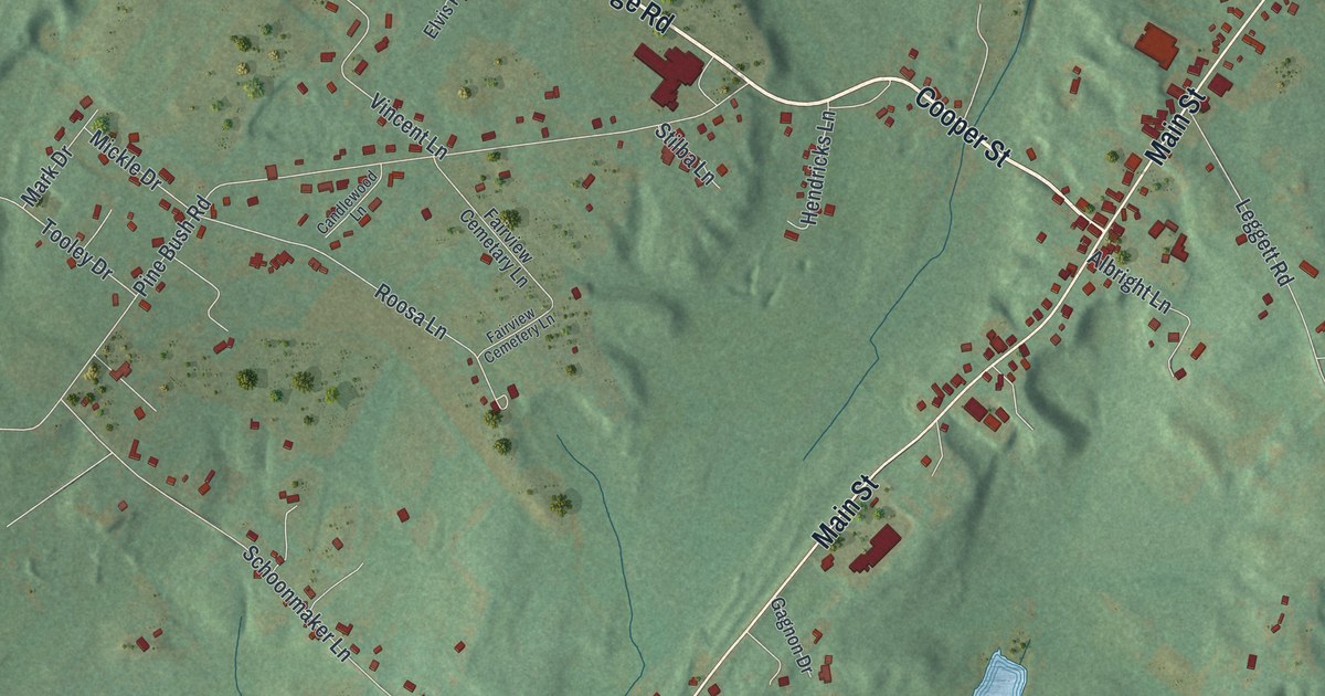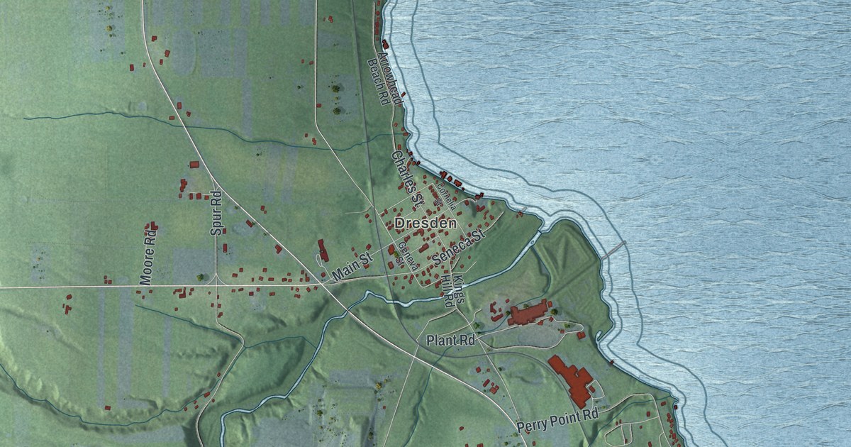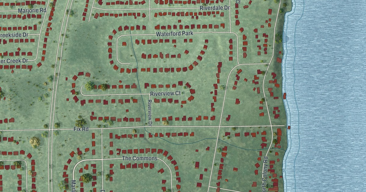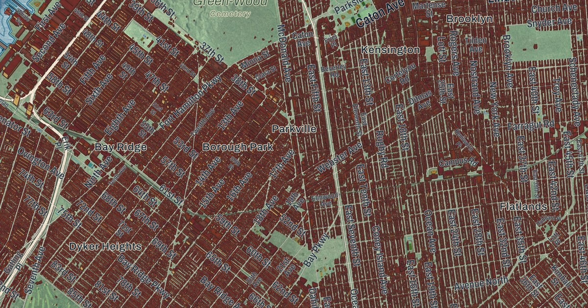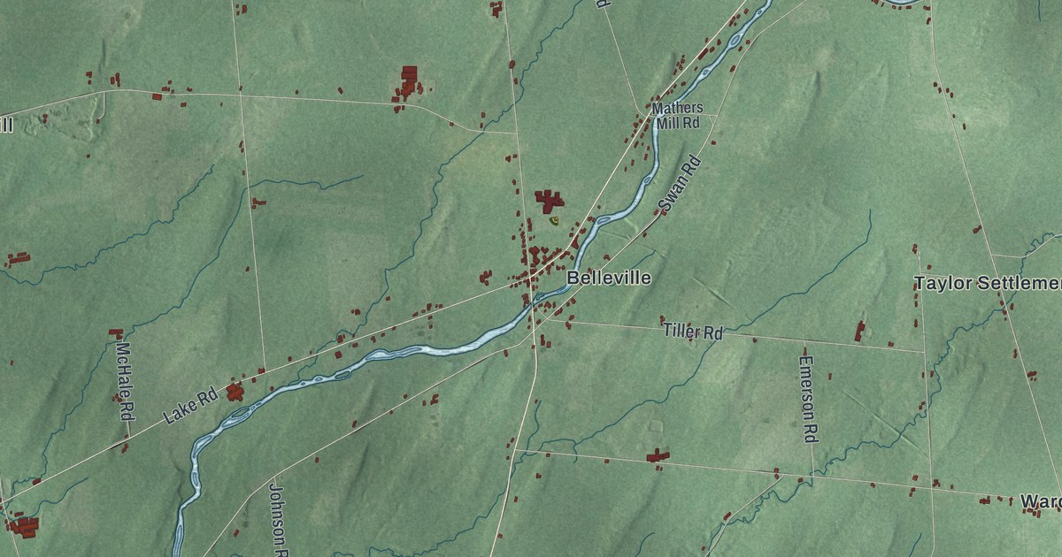
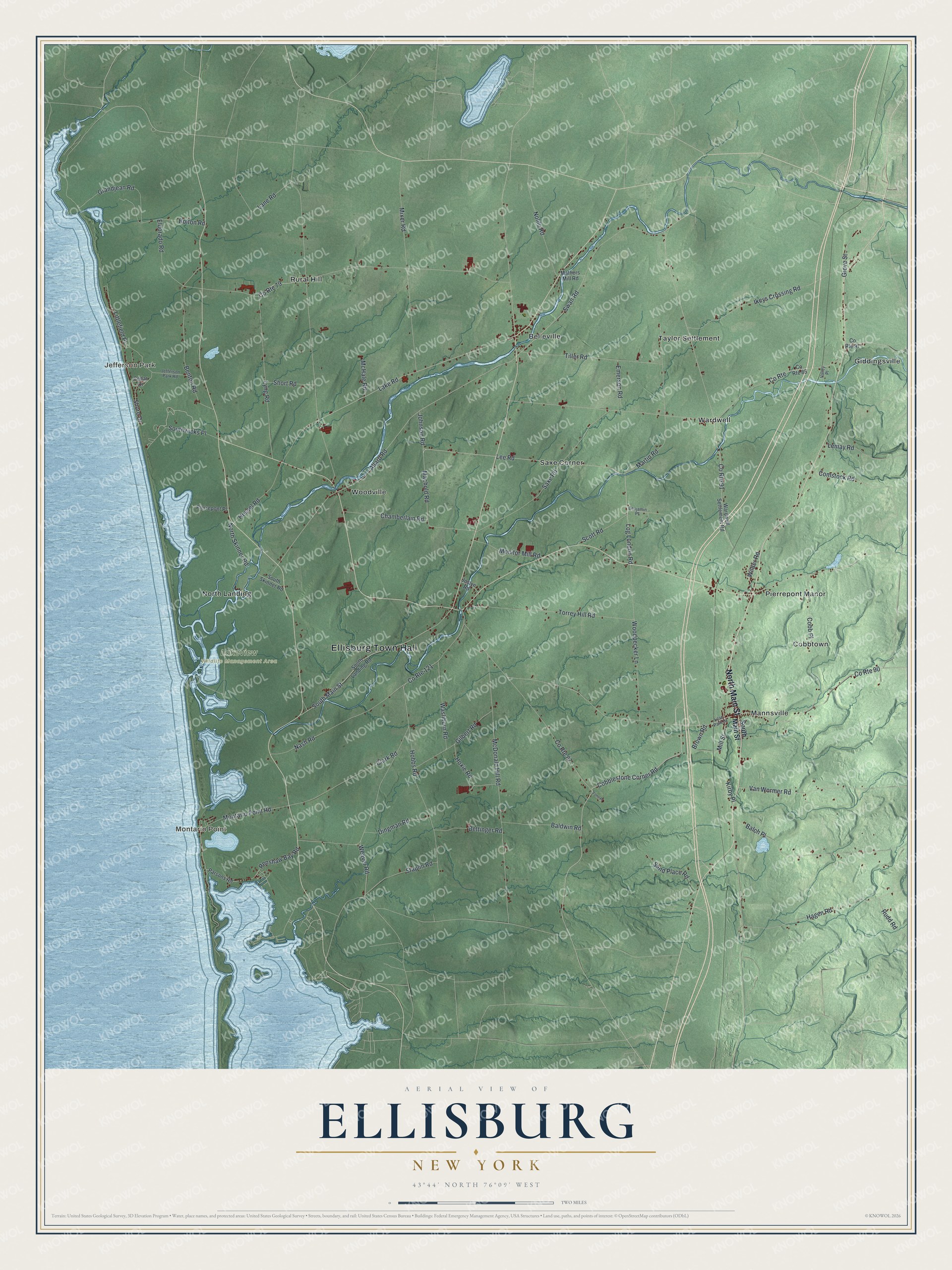
This beautifully detailed map of Ellisburg, New York was created in 2026 using aerial imagery combined with modern topographical, census, street and landmark data. It’s a one-of-a-kind view of Ellisburg that combines accurate data with a vintage aesthetic. The map shows every building in its true location, many of the roads carry their names, and the shaded topographic relief shows the shape of the land.
Explore an aerial view of Ellisburg, New York
On the map you’ll find Ellisburg Town Hall, Jefferson Park, Montario Point, Belleville, Cobbtown, Giddingsville, and Lakeview Wildlife Management Area, along with Main Street, Lee Road, Mill Street, Machold Road, and more. If you look closely you can even find your house accurately drawn in its correct location. Zoom in on the preview to look for yours.
Did You Know?
The town was named for Lyman Ellis, Esquire. The state legislature created it by act on February 22, 1803. Lawmakers carved the new town out of the town of Mexico. That’s from the U.S. Geological Survey place names records.
Take a closer look at the Ellisburg map
Names on this map
These names are printed on this map.
Places: Ellisburg Town Hall, Jefferson Park, Montario Point, Lakeview Wildlife Management Area, Belleville, Cobbtown, Giddingsville, Mannsville, North Landing, Pierrepont Manor, Rural Hill, Saxe Corner, Taylor Settlement, Wardwell and Woodville.
Streets and roads: North Main Street, Lee Road, Mill Street, Machold Road, Cobblestone Corner Road, Log London Road, Weaver Road, Bolton Road, Shore Drive, Wilder Road, Allard Road, County Route 91.
More street names, A to Z
Balch Place, Baldwin Road, Benjamin Place, Benton Road, Bettinger Road, Brown Road, Cedar Drive, Chamberlain Road, Clark Road, Cobb Place, Comstock Road, County Route, County Route 79, County Route 85, County Route 87, County Route 90, County Route 97, County Route 121, Dingman Road, Eldorado Road, Emerson Road, Fone Place, Gilbert Road, Grandjean Road, Grove Street, Hagen Road, Hessel Road, Hobbs Road, Hoxie Road, Ikeys Crossing Road, Jefferson Park Road, Johnson Road, Joslyn Road, Kirby Place, Lake Road, Lane Road, Lemay Road, Lilac Park Drive, Littlefield Place, Lyng Road, Martin Road, Mathers Mill Road, McDonald Hill Road, McHale Road, Mixer Road, Monitor Mill Road, Montario Point Road, Nash Road, Nohle Road, North Skinner Road, Parsons Road, Pierrepont Place, Renshaw Bay Road, Rudd Road, Sand Place Road, Saxe Road, Scott Road, Short Road, South Landing Road, South Main Street, South Skinner Road, Southwicks Place, Staplin Road, Swan Road, Tiller Road, Torrey Hill Road, Valley Place, Van Wormer Road, Wardwell Settlement Road, Washburn Road, Woodpecker Lane.
See it on a wall
The Ellisburg map as a framed print. Swipe for more.


This beautifully detailed map of Ellisburg makes an attractive addition to your office, library, or den, and it can even be used to teach children the geography and history of the area. It also makes a great gift for someone who left Ellisburg and still calls it home. When you’re done exploring, click here to get your copy of the Ellisburg map.