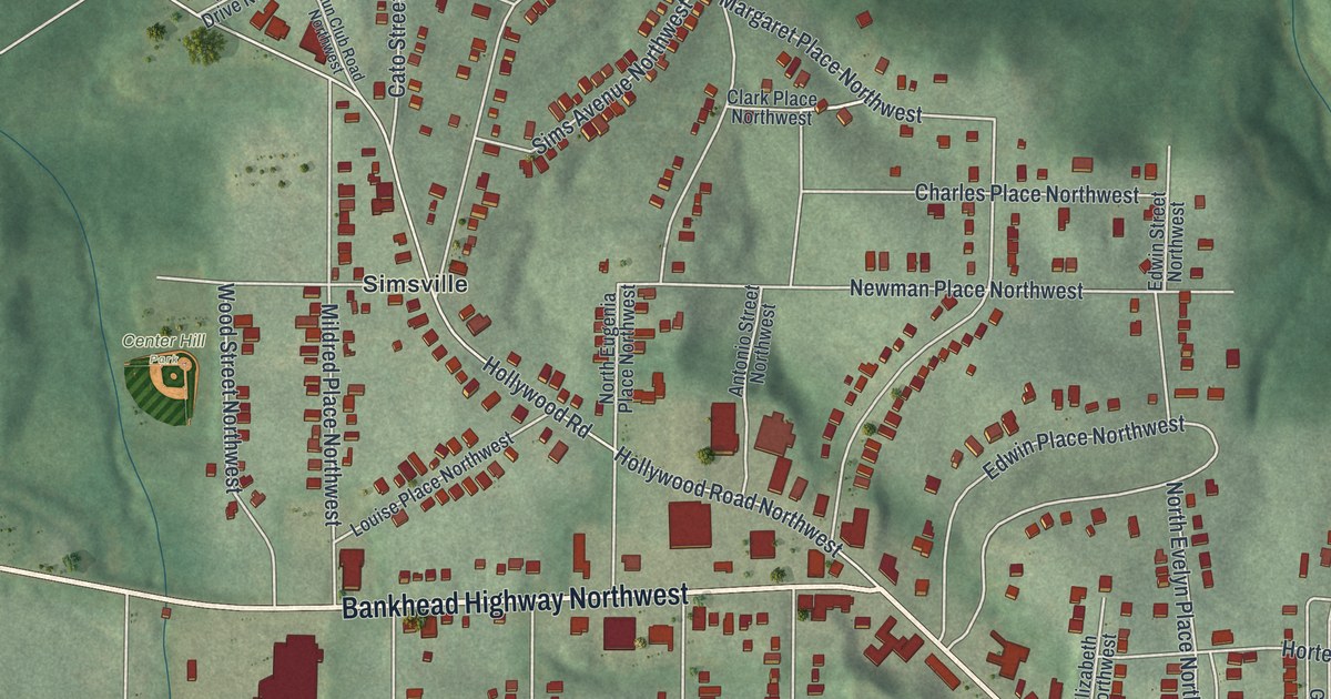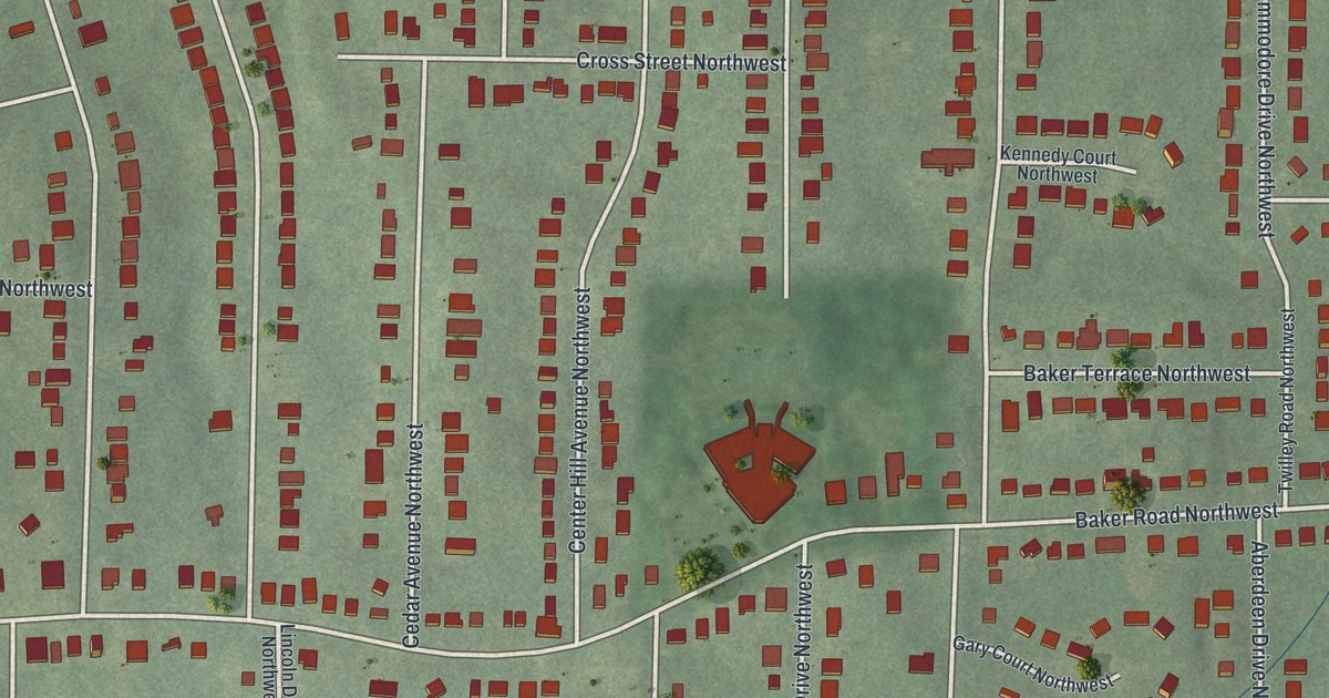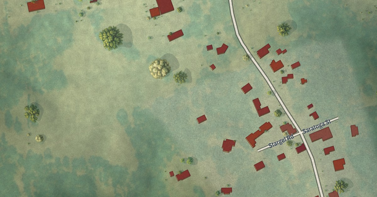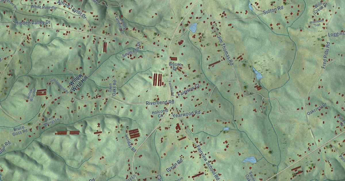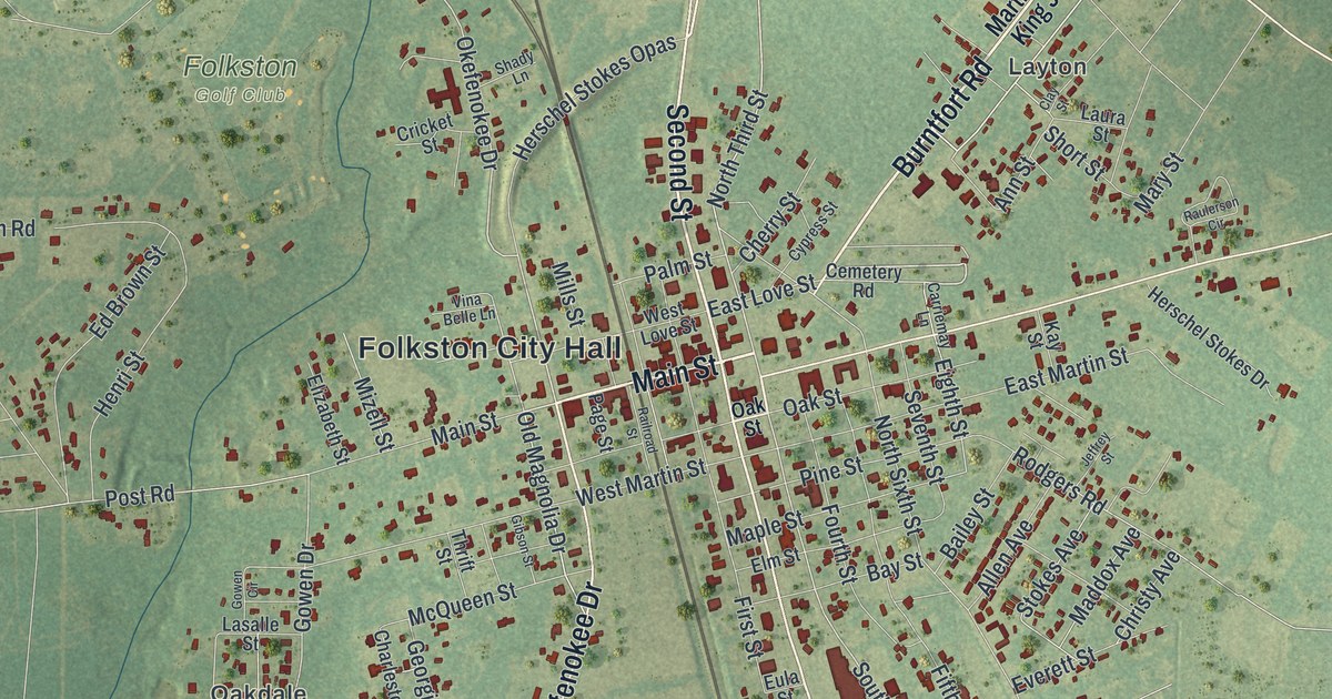
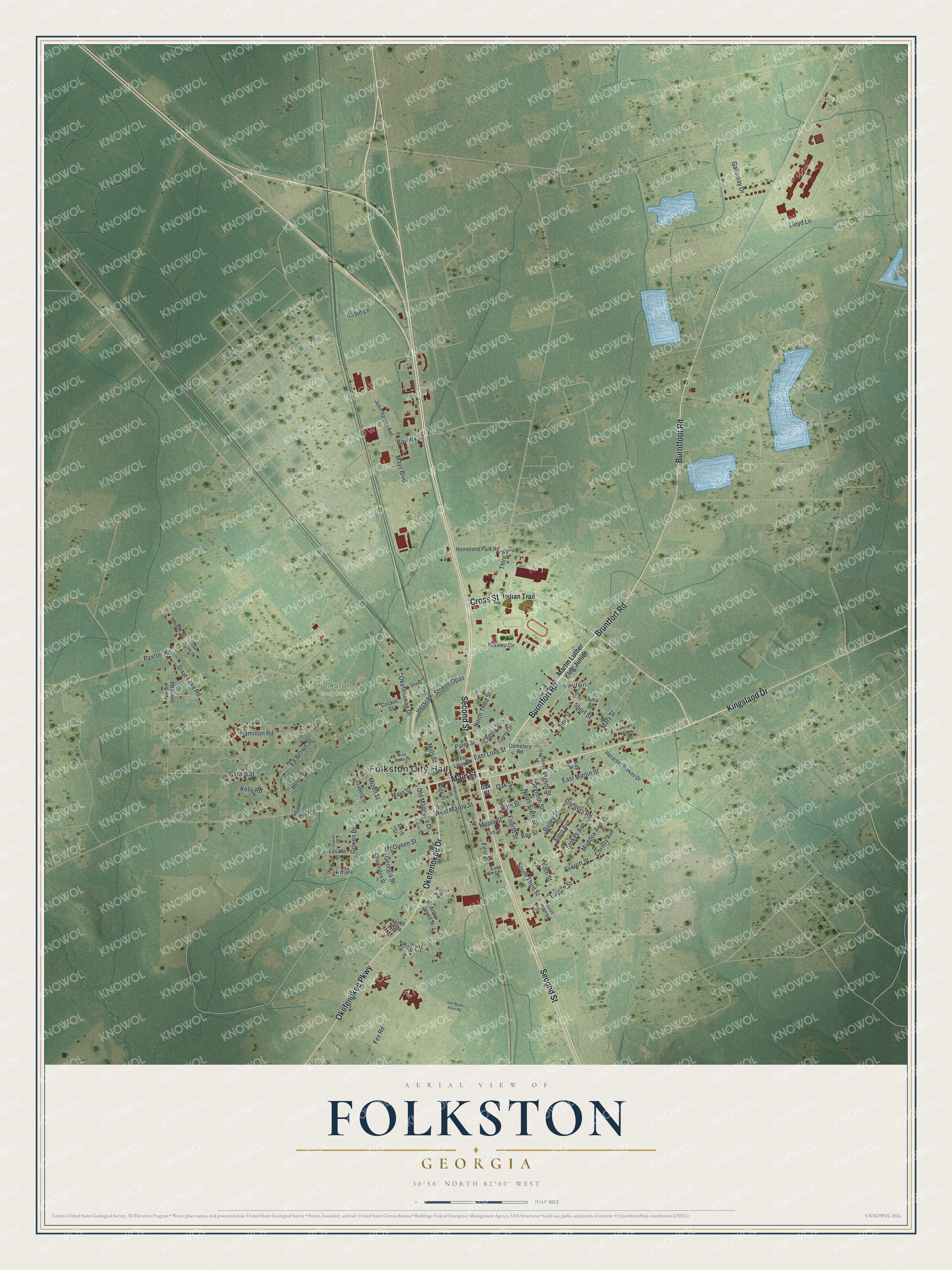
This beautifully detailed map of Folkston, Georgia was created in 2026 using aerial imagery combined with modern topographical, census, street and landmark data. It’s a one-of-a-kind view of Folkston that combines accurate data with a vintage aesthetic. The map shows every building in its true location, many of the roads carry their names, and the shaded topographic relief shows the shape of the land.
Explore an aerial view of Folkston, Georgia
On the map you’ll find Folkston City Hall, Oakdale, and Layton, along with Main Street, Okefenokee Parkway, Second Street, Bruntfort Road, and more. If you look closely you can even find your house accurately drawn in its correct location. Zoom in on the preview to look for yours.
Did You Know?
Folkston honors Dr. William Brandon Folks, a leading physician and surgeon of his day. For years the city called itself the Marriage Capital of the World. Couples from Florida who could not stand their own state’s waiting period crossed into Georgia to wed here.
Take a closer look at the Folkston map
Names on this map
These names are printed on this map.
Places: Folkston City Hall, Oakdale, Layton and Folkston Golf Club.
Streets and roads: Main Street, Okefenokee Parkway, Second Street, Bruntfort Road, Okefenokee Drive, Burntfort Road, Kingsland Drive, Burntfoot Road, Cross Street, Old Magnolia Drive, Third Street, Bowery Lane.
More street names, A to Z
Allen Avenue, Ann Street, Arthur Jones Street, Bailey Street, Bay Street, Carriemay Lane, Cemetery Road, Charleston Street, Cherry Street, Christy Avenue, Clay Street, Cricket Street, Cypress Street, Dixie Lake Road, East Love Street, East Martin Street, Ed Brown Street, Eighth Street, Elizabeth Street, Elm Street, El Terrace, Eula Street, Eunice Street, Everett Street, Fes Road, Fifth Street, First Street, Fourth Street, Galloway Drive, Garard Street, Georgia Street, Gibson Street, Gowen Circle, Gowen Drive, Hamilton Road, Henri Street, Herschel Stokes Drive, Herschel Stokes Opas, Homeland Park Road, Indian Trail, Iver North Allen Road, Jeffrey Street, John Becker Drive, John Harper Avenue, Kay Street, Kelly Road, Kristi Lane, Lasalle Street, Laura Street, Lloyd Lane, Maddox Avenue, Maple Street, Martin Luther King Junior, Mary Street, Mays Boulevard, McQueen Street, Mills Street, Mizell Street, Nelson Street, Nixon Jones Road, North Sixth Street, North Third Street, Oak Street, Old US Highway 1, Page Street, Palm Street, Park Road, Passieu Circle, Paxton Road, Pine Street, Post Road, Railroad Street, Raulerson Circle, Robin Lane, Rodgers Road, Seventh Street, Shady Lane, Short Street, South Third Street, Stokes Avenue, Thrift Street, Traces Loop, Union Street, Vina Belle Lane, West Love Street, West Martin Street.
See it on a wall
The Folkston map as a framed print. Swipe for more.


This beautifully detailed map of Folkston makes an attractive addition to your office, library, or den, and it can even be used to teach children the geography and history of the area. It also makes a great gift for anyone who grew up in Folkston or moved away. When you’re done exploring, click here to get your copy of the Folkston map.