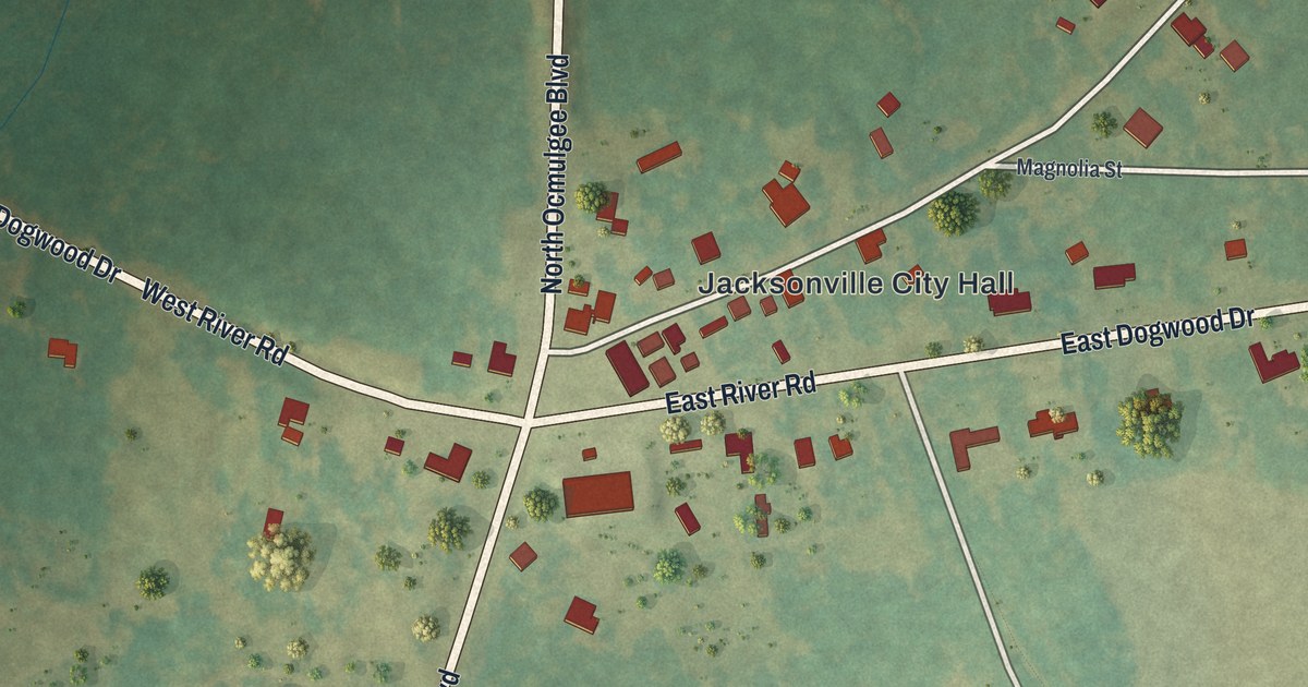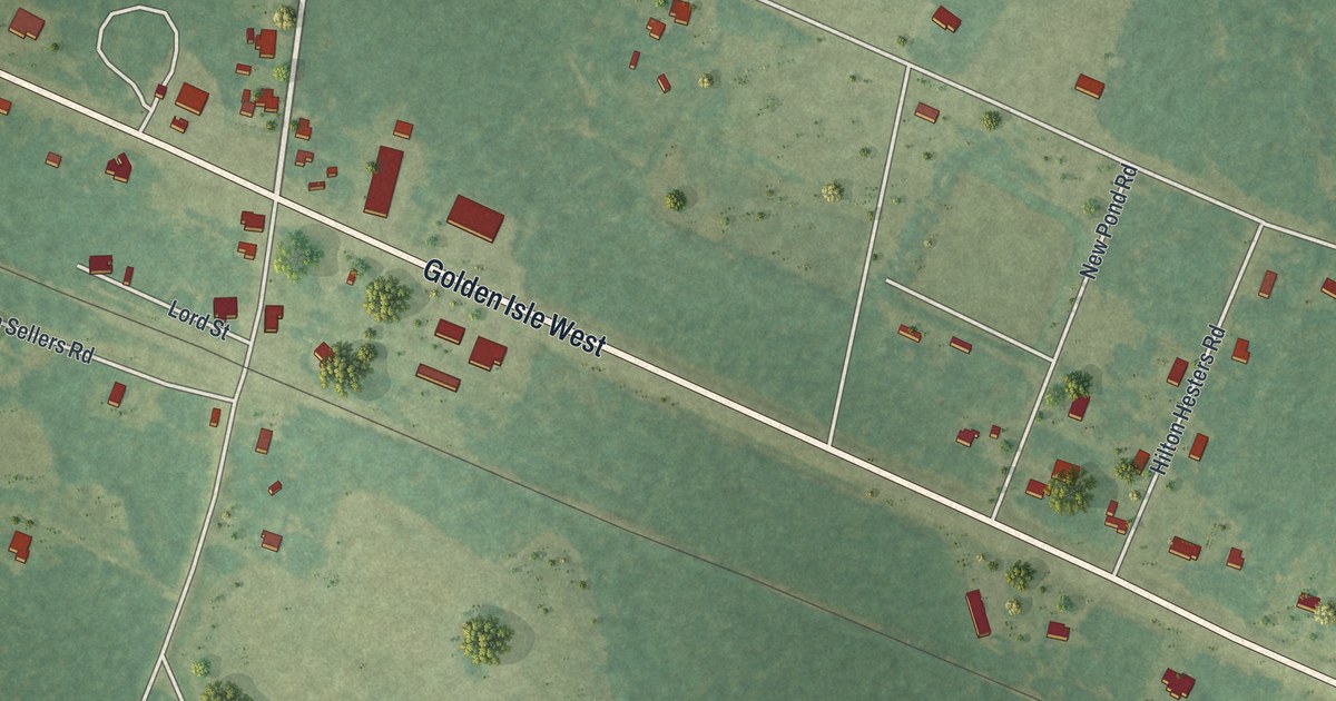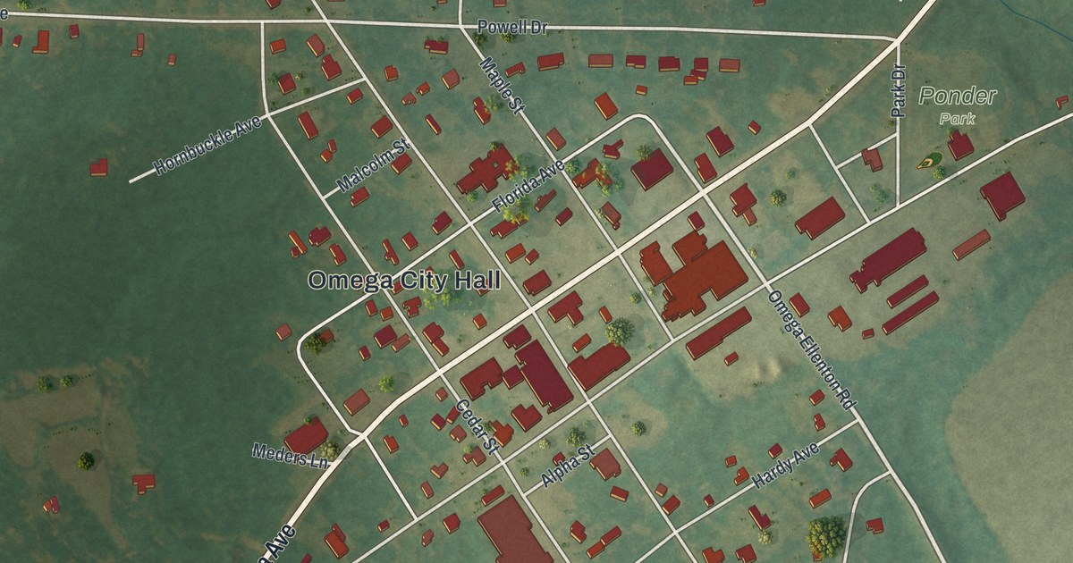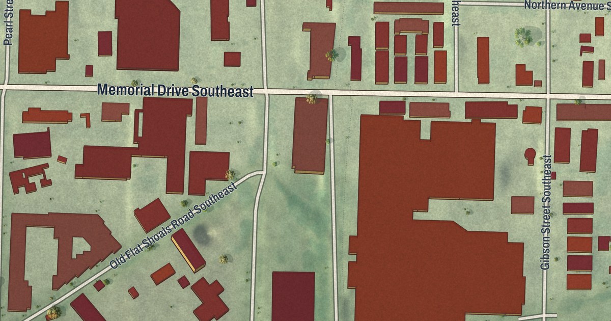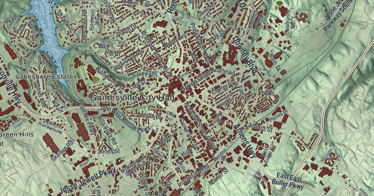
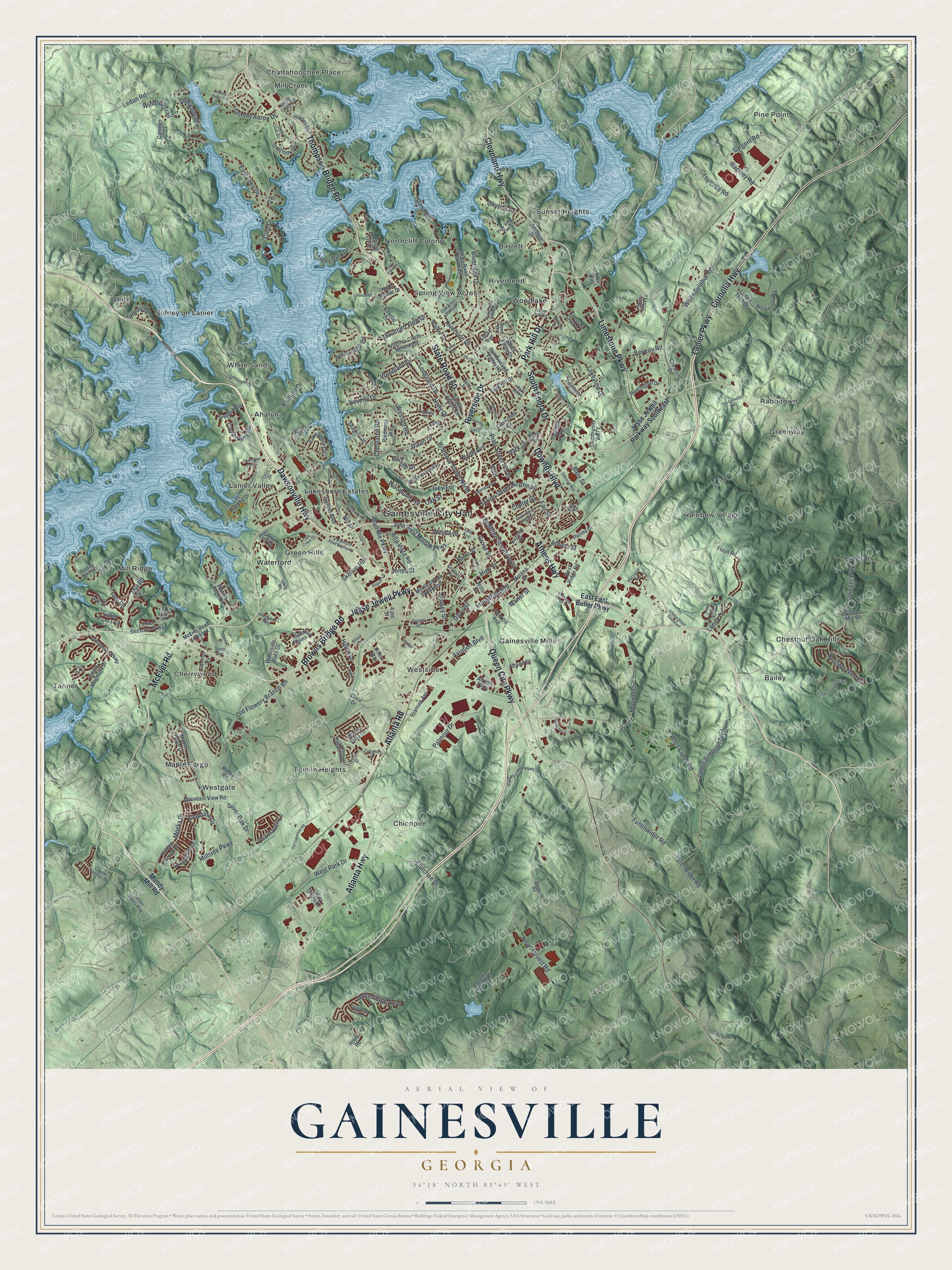
This beautifully detailed map of Gainesville, Georgia was created in 2026 using aerial imagery combined with modern topographical, census, street and landmark data. It’s a one-of-a-kind view of Gainesville that combines accurate data with a vintage aesthetic. The map shows every building in its true location, many of the roads carry their names, and the shaded topographic relief shows the shape of the land.
Explore an aerial view of Gainesville, Georgia
On the map you’ll find Gainesville City Hall, Ahaluna, Bailey, Barrett, Chattahoochee Place, and Cherrywood, along with Dawsonville Highway, Cleveland Highway, Jesse Jewell Parkway, Browns Bridge Road, and more. If you look closely you can even find your house accurately drawn in its correct location. Zoom in on the preview to look for yours.
Did You Know?
Gainesville was named for General Edmund Pendleton Gaines. As commandant of Fort Stoddart in Alabama, he arrested Aaron Burr. He later defended Fort Erie in the War of 1812. Confederate General James Longstreet spent his last years in Gainesville and is buried in Altavista Cemetery. That’s from the 1940 WPA guide to Georgia.
Take a closer look at the Gainesville map
Names on this map
These names are printed on this map.
Places: Gainesville City Hall, Ahaluna, Bailey, Barrett, Chattahoochee Place, Cherrywood, Chestnut Oak Hills, Chicopee, Gainesville Mills, Green Hills, Greenway, Lakeshore Estates, Lanier Valley, Maple Forge, Mill Creek, Mill Ridge, Northcliff Colony, Pine Point, Rabbitown, Rainbow Village, Riverbend, Sidney on Lanier, Spring View Acres, Sunset Heights, Tanner, Tumlin Heights, Waterford, Westgate, Westside, White, White Sands and Woodlake.
Streets and roads: Dawsonville Highway, Cleveland Highway, Jesse Jewell Parkway, Browns Bridge Road, Park Hill Drive, Limestone Parkway, Queen City Parkway, McEver Road, Atlanta Road, Downey Boulevard, South Enota Drive, State Road 60.
More street names, A to Z
Ahaluna Drive, Airport Parkway, Airport Street, Allen Creek Road, Allied Drive, Alpine Street, Alta Vista Road, Amberleigh Trce, Aspen Lane, Athens Highway, Athens Street, Athens Street Southeast, Atlanta Highway, Aviation Boulevard, Avonlea Way, Banks Street, Barber Road, Barn Street, Beverly Drive, Beverly Road, Blueridge Drive, Boulevard, Bradford Street North, Bradford Street South, Brenau Avenue, Buena Vista Circle, Burns Drive Northeast, Calvary Church Road, Calvary Creek Parkway, Camden Court, Cameo Court, Canterbury Road, Capri Drive, Carrington Park Drive, Catalina Drive, Center Street, Chestatee Road, Club Drive, Clubside Drive, Columns Drive, Copper Springs Drive, Cornelia Highway, Crescent Drive, Cresswind Parkway, Cross Street, Crudup Drive, Crystal Drive, Cumberland Valley Road, Danbury Lane, Davis Street, Dixie Drive, Dixon Circle, Dixon Drive, Dorsey Street, Dunn Drive, Eagle Eye Road, East Avenue, East East Butler Parkway, East Lake Drive, Elatchee Drive, Enota Avenue, Etta Vista Circle, Fair Street, Florence Drive, Floyd Road, Foothills Parkway, Frances Avenue, Fulenwider Road, Fullenwider Road, Gaines Mill Road, Georgia Avenue, Glenwood Drive, Golf Club Drive, Gould Drive, Great Pine Drive, Green Street Circle, Grove Street, Harrison Drive, Haynes Drive, Heritage Glen Drive, Hidden Creek Drive, High Street, Hillside Drive, Hilton Drive, Hilton Way, Holly Drive, Holly Park Drive, Honeysuckle Road, Hope Road, Hospital Drive, Hunter Street Southeast, Huntington Drive, Industrial Boulevard, Interstate Ridge Drive, Island Drive, Ivey Road, Ivey Terrace, Ivy Road, James Simpson Boulevard, Jesse Jewell Parkway Southeast, John West Morrow Parkway, Jones Street, Kids Way, Lakehill Drive, Lakemont Drive, Lake Shore Circle, Lakeshore Drive, Lakeview Drive, Lanier Avenue, Lanier Parkway, Lanier Seasons Parkway, Lanier Tech Drive, Ledan Road, Lee Waldrip Drive, Lenox Drive, Lenox Park Place, Lilac Creek Trail, Limestone Creek Drive, Lindsay Baker Court, Linwood Drive, Locust Cove Road, Longview Drive, Mabry Road, Maple Forge Lane, Marler Street, McEver Road Extended, Meeks Drive, Memorial Drive, Mill Road, Millside Parkway, Mill Street, Monroe Drive, Moreno Street, Mountain View Drive, Mountain View Road, Mundy Mill Road, Myrtle Street Southwest, Nancy Creek Road, New Harvest Road, Nix Drive, North Avenue, North Cliff Valley Drive, North Pointe Drive, Norton Drive, Oak Street, Oak Tree Hollow, Old Cornelia Highway, Old Flowery Branch Road, Old Oakwood Road, Orwell Drive, Osborne Avenue, Otila Drive, Overlook Drive, Palmour Drive, Park Creek Court, Park Hill Place, Park Lane, Park Street, Patten Drive, Pearhaven Lane, Pearl Nix Parkway, Pemmican Run, Piedmont Road, Piedmont Way, Pine Street, Pine Tree Trail, Prior Street, Prior Street North, Purina Drive, Ramsey Road, Ridge Bluff Overlook, Ridgewood Avenue, Riverside Drive, Robinhood Trail, Roper Hill Road, Rudolph Street, Salinger Way, Sargent Road, Scarlet Oak Lane, Scotland Avenue, Shady Valley Lane, Shallowford Road Northwest, Sidney Drive, Silver Oak Drive, Skelton Road, Skyline Drive, Smith Road, Spring Haven Drive, Spring Road, Spring Street Northeast, Stillwater Drive, Strickland Drive, Summit Street, Sunset Boulevard, Swann Drive, Sweet Magnolia Drive, Sweet Plum Trce, Sweetwater Drive, Tate Street, The Lake Road, Thompson Bridge Road, Timber Valley Way, Tommy Aaron Drive, Valley Green Drive, Valley Road Northeast, Vineyard Way, Virginia Circle Northwest, Walker Street, Waters Edge Drive, Waterside Oaks Drive, Wessell Road, West Avenue, West Lake Drive, West Park Drive, West Ridge Road, White Sulphur Road, Wills Street, Wilshire Road, Winding Lake Drive, Windsor Trail, Woodland Drive, Woodsmill Road, Workforce Way, Yonah.
See it on a wall
The Gainesville map as a framed print. Swipe for more.


This beautifully detailed map of Gainesville makes an attractive addition to your office, library, or den, and it can even be used to teach children the geography and history of the area. It also makes a great gift for someone who left Gainesville and still calls it home. When you’re done exploring, click here to get your copy of the Gainesville map.