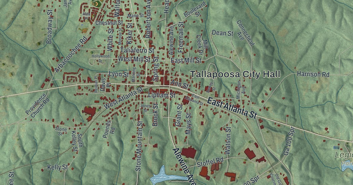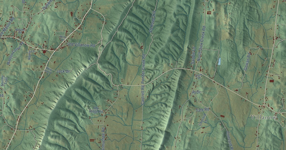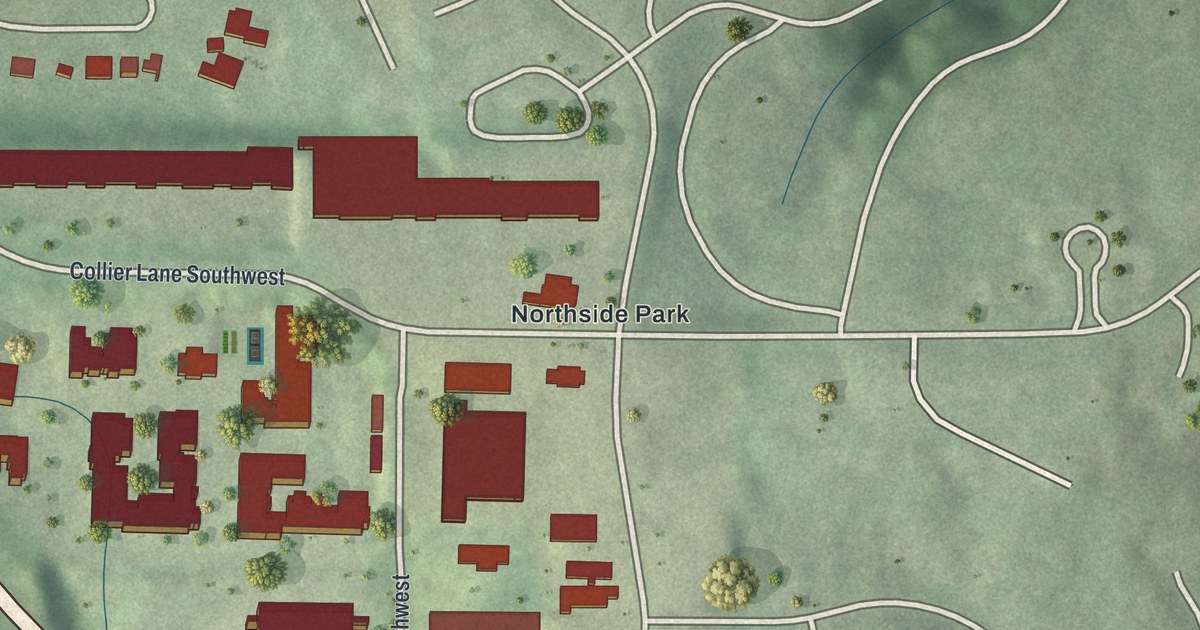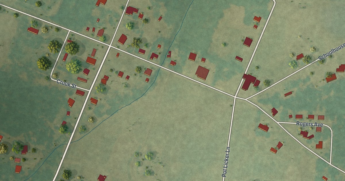
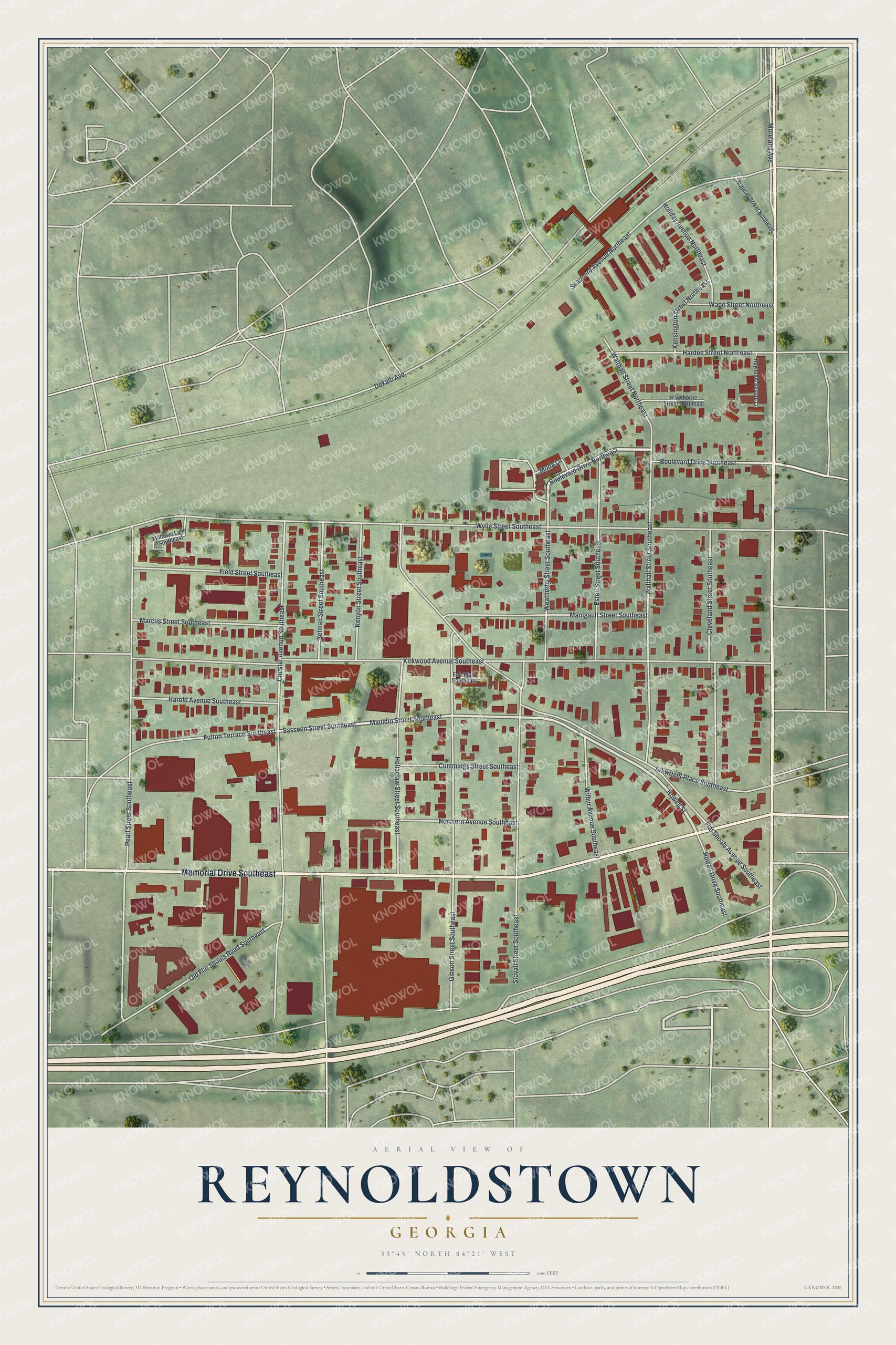
This beautifully detailed map of Reynoldstown, Georgia was created in 2026 using aerial imagery combined with modern topographical, census, street and landmark data. It’s a one-of-a-kind view of Reynoldstown that combines accurate data with a vintage aesthetic. The map shows every building in its true location, many of the roads carry their names, and the shaded topographic relief shows the shape of the land.
Explore an aerial view of Reynoldstown, Georgia
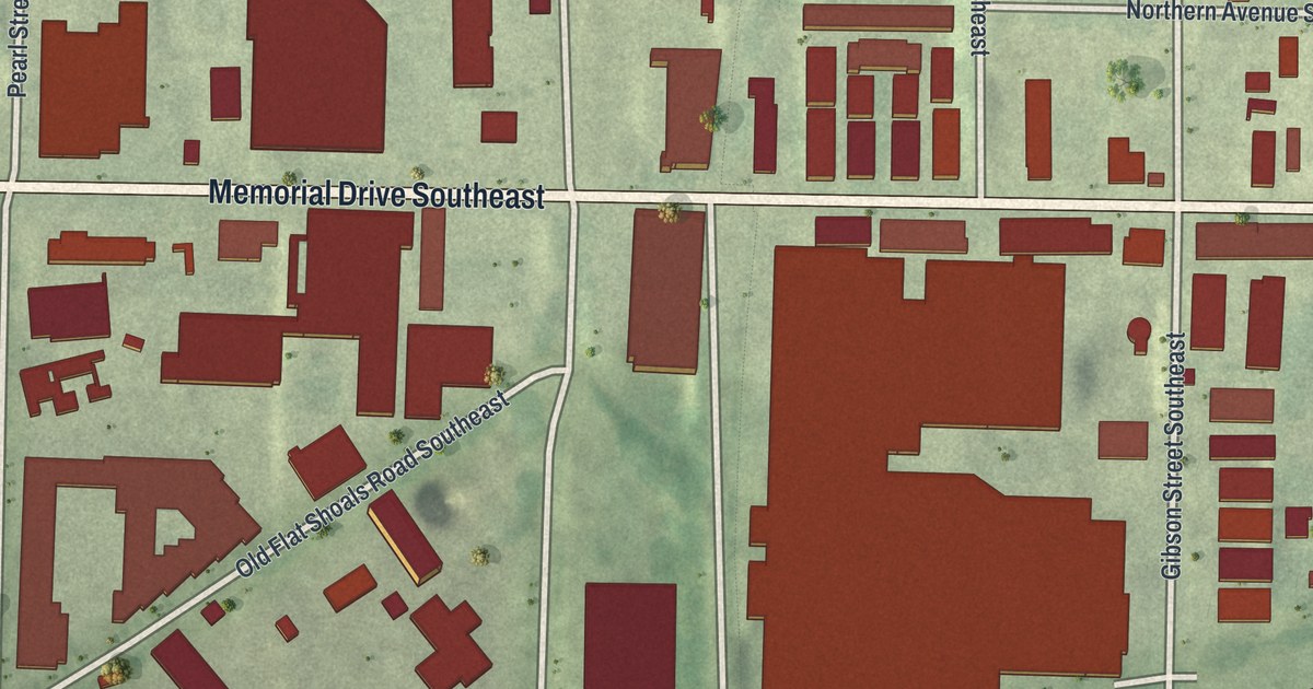
On the map you’ll find Memorial Drive, Flat Shoals Avenue, Howell Street, Boulevard Drive, Mauldin Street, and more. If you look closely you can even find your house accurately drawn in its correct location. Zoom in on the preview to look for yours.
Did You Know?
After the Civil War, freed slaves with jobs on the railroad were the first to settle Reynoldstown. Madison and Sarah Reynolds were among the earliest of these settlers. Atlanta annexed the neighborhood in 1909. In 2003 it became a historic district on the National Register.
Take a closer look at the Reynoldstown map
Names on this map
These names are printed on this map.
Streets and roads: Memorial Drive Southeast, Flat Shoals Avenue Southeast, Howell Street, Boulevard Drive Northeast, Boulevard Drive Southeast, Mauldin Street Southeast, Kirkwood Avenue Southeast, Wylie Street Southeast, Chester Avenue Southeast, Gibson Street Southeast, Pearl Street Southeast, Stovall Street Southeast.
More street names, A to Z
Arkwright Place Southeast, Brantley Street Northeast, Cleveland Street Southeast, Cummings Street Southeast, Dekalb Avenue, Esten Street Southeast, Fair Walk Southeast, Field Street Southeast, Fulton Terrace Southeast, Hardee Street Northeast, Harold Avenue Southeast, Hawthorne Street Northeast, Holiday Avenue Northeast, Holtzclaw Street Southeast, Howell Drive Southeast, Kensington Street Northeast, Kenyon Street Southeast, Manigault Street Southeast, Marcus Street Southeast, Milltown Lane Southeast, Moda Lane, Moreland Avenue, Northern Avenue Southeast, Old Flat Shoals Road Southeast, Reynolds Square Lane, Sasseen Street Southeast, Seaboard Avenue Northeast, Selman Street Southeast, Wade Street Northeast, Walthall Street Northeast, Walthall Street Southeast, Weatherby Street Southeast, Wilbur Avenue Southeast.
See it on a wall
The Reynoldstown map as a framed print. Swipe for more.


This beautifully detailed map of Reynoldstown makes an attractive addition to your office, library, or den, and it can even be used to teach children the geography and history of the area. It also makes a great gift for someone who left Reynoldstown and still calls it home. When you’re done exploring, click here to get your copy of the Reynoldstown map.