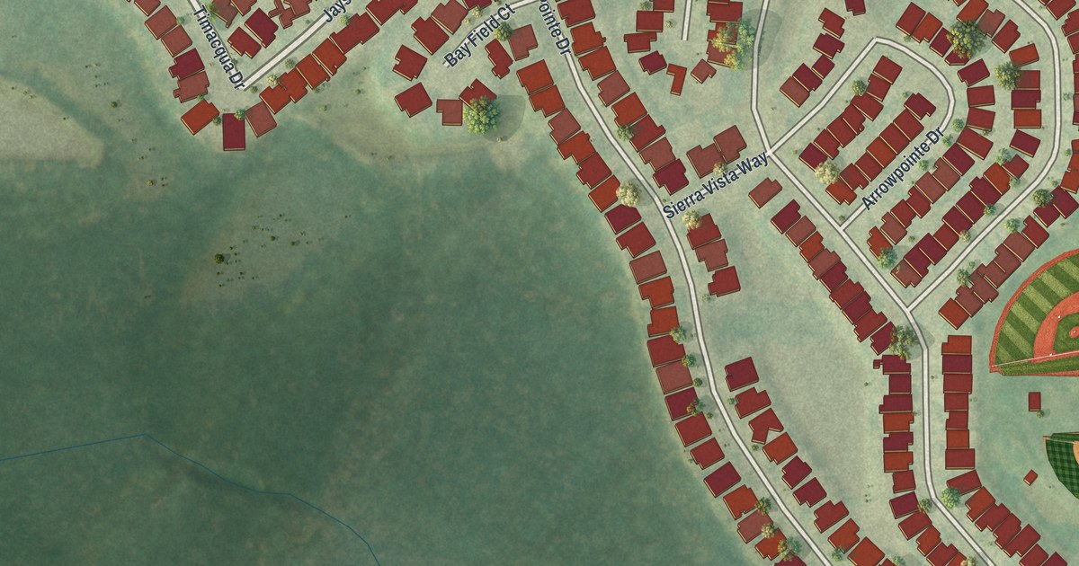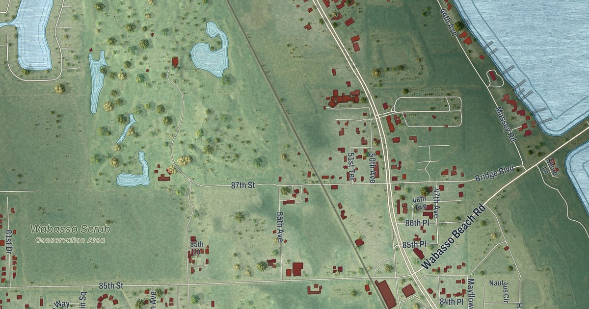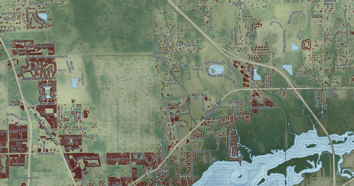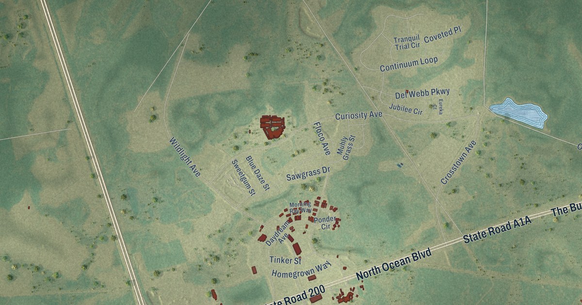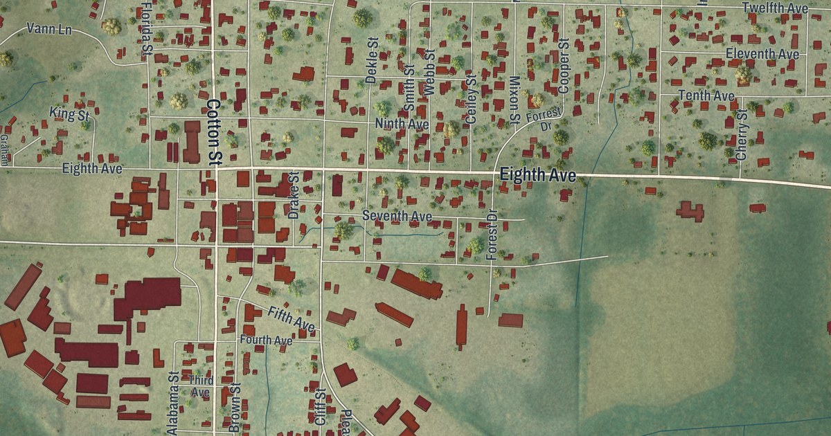
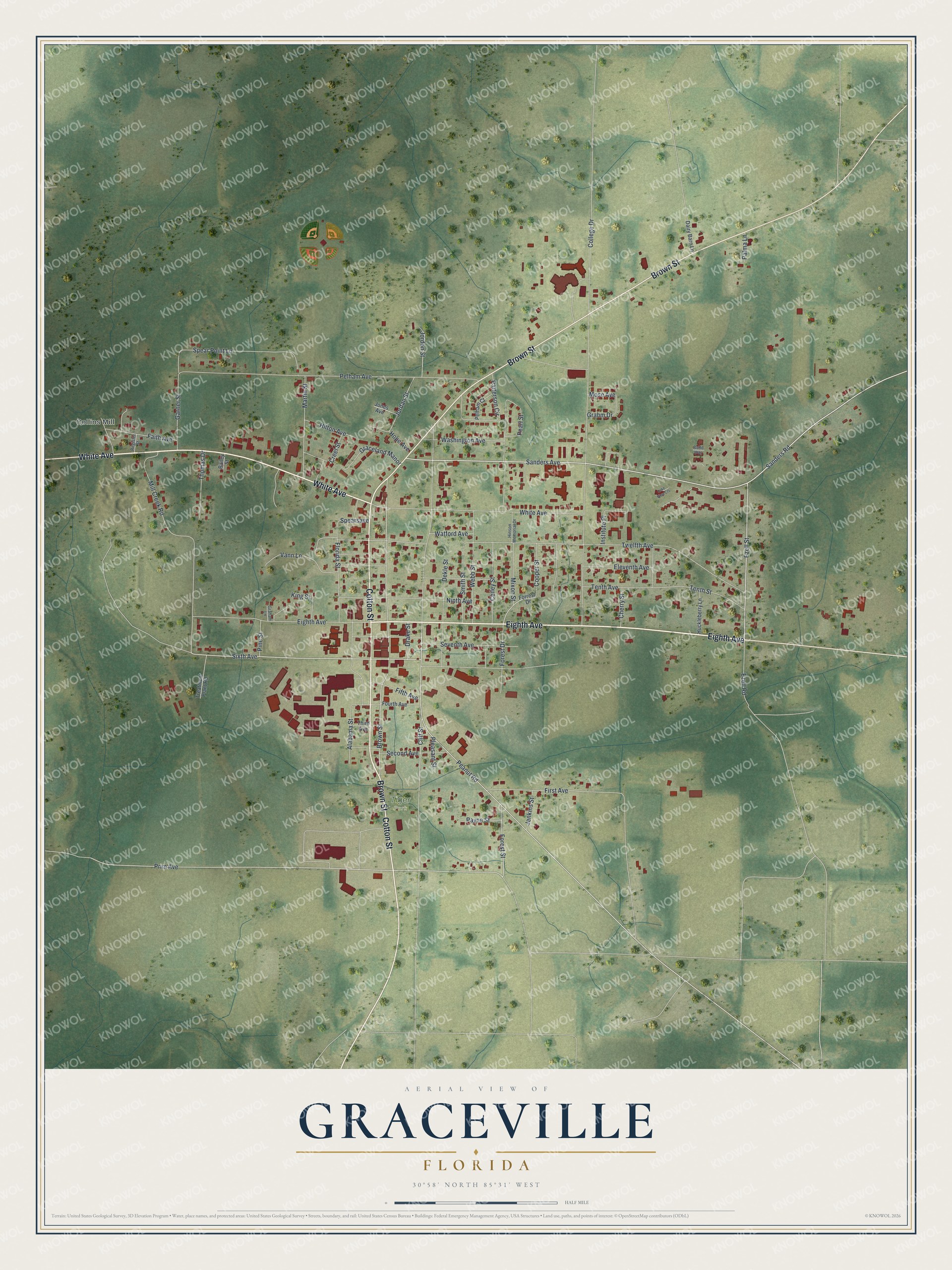
This beautifully detailed map of Graceville, Florida was created in 2026 using aerial imagery combined with modern topographical, census, street and landmark data. It’s a one-of-a-kind view of Graceville that combines accurate data with a vintage aesthetic. The map shows every building in its true location, many of the roads carry their names, and the shaded topographic relief shows the shape of the land.
Explore an aerial view of Graceville, Florida
On the map you’ll find Collins Mill and Tiger Park, along with Eighth Avenue, Cotton Street, White Avenue, Brown Street, Ezell Street, Sanders Road, Peanut Road, Sixth Avenue, Sanders Avenue, Prim Avenue, and more. If you look closely you can even find your house accurately drawn in its correct location. Zoom in on the preview to look for yours.
Did You Know?
The Louisville and Nashville Railroad reached Graceville on July 16, 1902, at the end of its short Georgiana Branch. Passenger trains ended around 1950, and the line carried freight after that. The city is also home to the Baptist University of Florida.
Take a closer look at the Graceville map
Names on this map
These names are printed on this map.
Places: Collins Mill and Tiger Park.
Streets and roads: Eighth Avenue, Cotton Street, White Avenue, Brown Street, Ezell Street, Sanders Road, Peanut Road, Sixth Avenue, Sanders Avenue, Prim Avenue, Forest Street, Cliff Street.
More street names, A to Z
Alabama Street, Bailey Street, Budd Way, Ceiley Street, Cherry Street, College Drive, Cooper Street, Creel Street, Dairy Barn Lane, Dekle Street, Drake Street, Eleventh Avenue, Ezell Road, Faith Avenue, Fifth Avenue, First Avenue, Florida Street, Forest Drive, Forrest Drive, Fourth Avenue, Garner Street, Graceland Manor, Graham Lane, Grahm Drive, Hilton Avenue, Hinson Memorial Drive, Hope Avenue, Huckleberry Lane, Institute Place, Jenkins Street, Jones Avenue, Jordan Street, Jordon Street, King Street, Lake View Cts, Martin Street, Mill Creek Road, Mixon Street, Mose Avenue, Ninth Avenue, Palma Lane, Patterson Circle, Payne Street, Pearl Street, Pelham Avenue, Pelham Court, Pine Street, Pleasant Street, Register Street, Second Avenue, Seventh Avenue, Smith Street, Spear Point Lane, Spearsave, Tenth Avenue, Tenth Street, Third Avenue, Thomas Drive, Treatment Plant Road, Twelfth Avenue, Vann Lane, Washington Avenue, Watford Avenue, Webb Street.
See it on a wall
The Graceville map as a framed print. Swipe for more.


This beautifully detailed map of Graceville makes an attractive addition to your office, library, or den, and it can even be used to teach children the geography and history of the area. It also makes a great gift for anyone who grew up in Graceville or moved away. When you’re done exploring, click here to get your copy of the Graceville map.