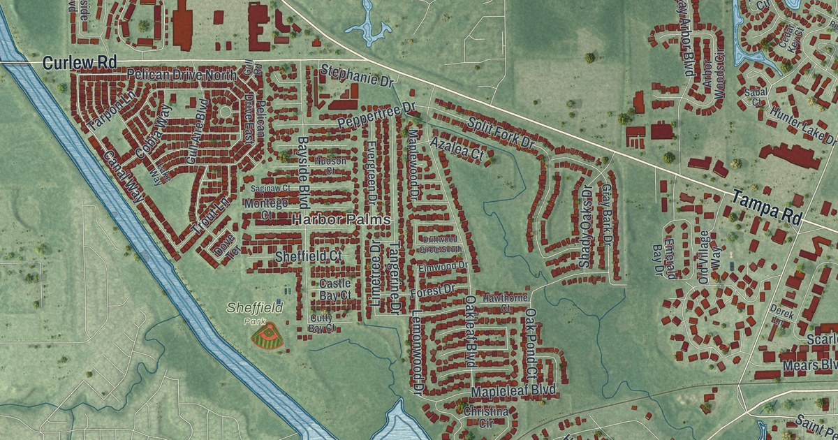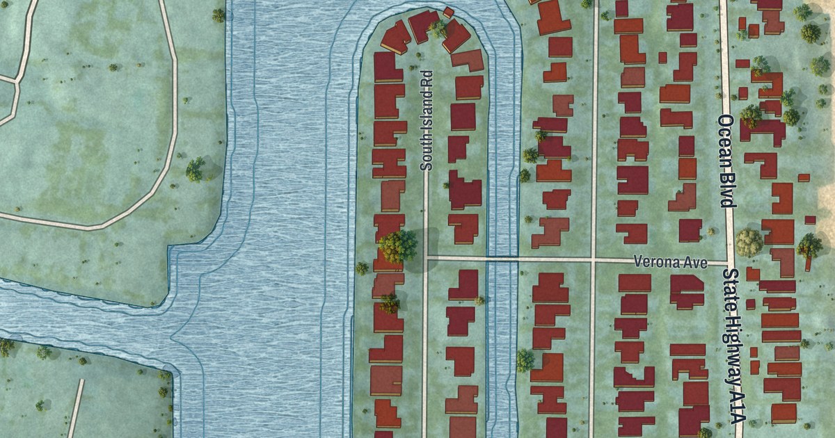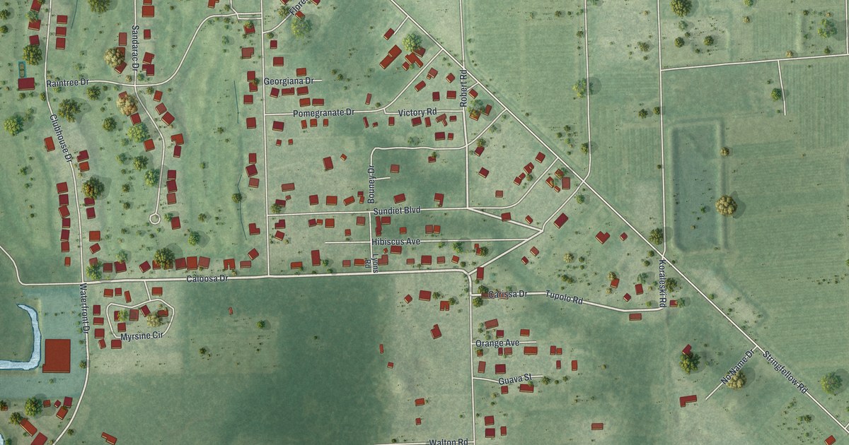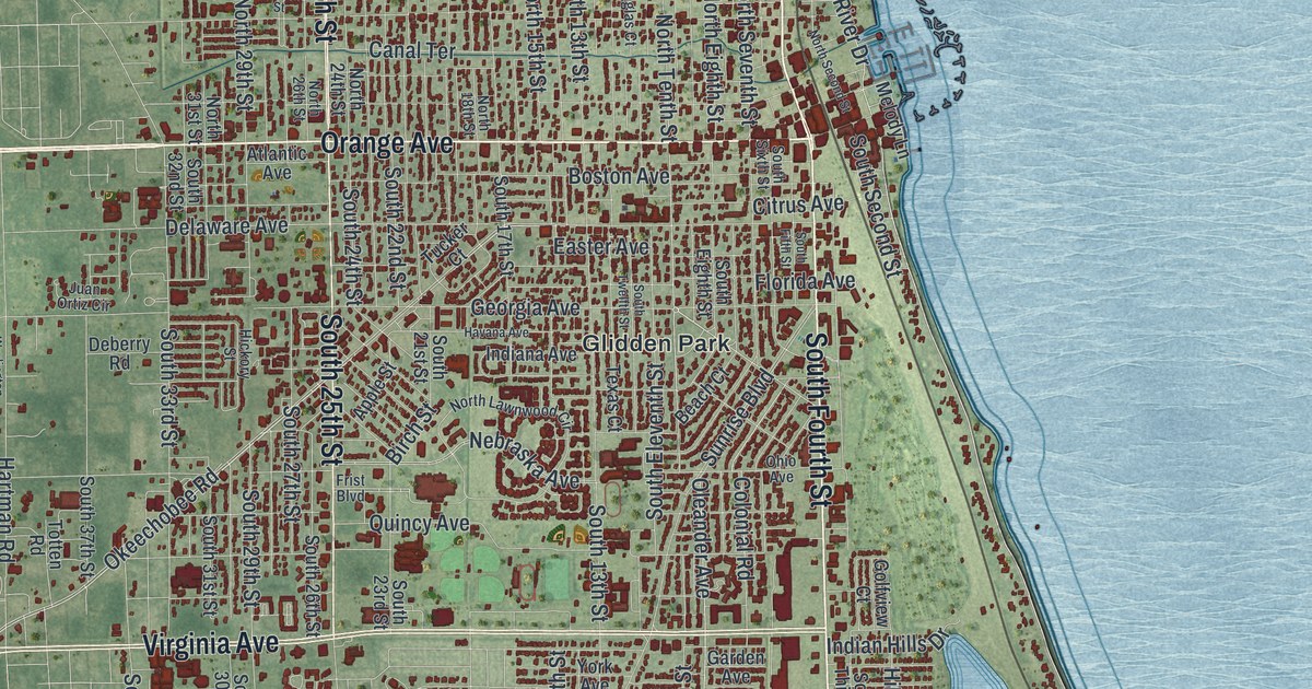
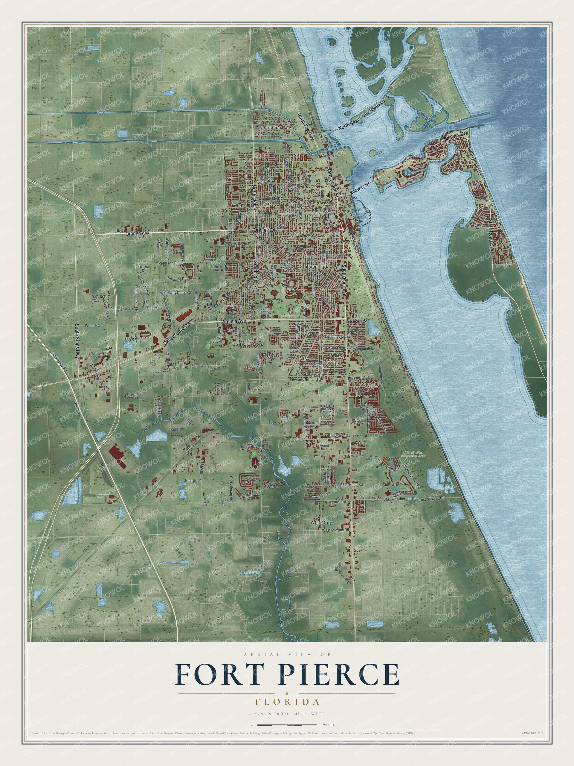
This beautifully detailed map of Fort Pierce, Florida was created in 2026 using aerial imagery combined with modern topographical, census, street and landmark data. It’s a one-of-a-kind view of Fort Pierce that combines accurate data with a vintage aesthetic. The map shows every building in its true location, many of the roads carry their names, and the shaded topographic relief shows the shape of the land.
Explore an aerial view of Fort Pierce, Florida
On the map you’ll find Savannas Recreation Area, Cortez Estates, Glidden Park, Paradise Park, and White City, along with Orange Avenue, North Fourth Street, South Fourth Street, South Kings Highway, State Road A1A, South Ocean Drive, Virginia Avenue, and more. If you look closely you can even find your house accurately drawn in its correct location. Zoom in on the preview to look for yours.
Did You Know?
The city takes its name from Fort Pierce, an army post built close by in 1838 during the Second Seminole War. The post stood until 1842. It honored Benjamin Kendrick Pierce, a career Army officer. He was the brother of President Franklin Pierce.
Take a closer look at the Fort Pierce map
Names on this map
These names are printed on this map.
Places: Savannas Recreation Area, Cortez Estates, Glidden Park, Paradise Park and White City.
Streets and roads: Orange Avenue, North Fourth Street, South Fourth Street, South Kings Highway, South Ocean Drive, Virginia Avenue, Okeechobee Road, Seaway Drive, North 25th Street, South 25th Street, North Beach Causeway Drive, North Fed Highway.
More street names, A to Z
16th Court, Acai Lane, Admiral Street, Alameda Avenue, Andrews Avenue, Apple Street, Atlantic Avenue, Atlantis Drive, Avenue East, Avienda Avenue, Azalea Avenue, Barcelona Avenue, Barrel Avenue, Bayshore Drive, Beach Court, Bell Avenue, Bent Creek Boulevard, Binney Drive, Birch Street, Birkdale Drive, Blue Heron Boulevard, Booker Street, Boston Avenue, Briargate Lane, Camp Ground Road, Canal Terrace, Carlyle Way, Celebration Drive, Cherimoya Street, Christensen Road, Citrus Avenue, Club Drive, Coconut Drive, Colonial Road, Compass Drive, Compound Road, Copenhaver Road, Cortez Boulevard, Creekside Drive, Crossroads Parkway, Dade Road, Deberry Road, Delaware Avenue, Delight Drive, Devine Road, Dickson Drive, Digiorgio Road, Divine Road, Dixieland Drive, Douglas Court, Easter Avenue, East Midway Road, East South Market Avenue, East Weatherbee Road, Edwards Road, Elm Street, Emil Avenue, Energy Lane, Enterprise Road, Fairway Drive, Farmers Market Road, Fernandina Street, Florida Avenue, Frist Boulevard, Gaiety Way, Garden Avenue, Gardenia Avenue, Gator Greens Way, Gator Trace Drive, Gator Trace Lane, Gator Trace Road, Georgia Avenue, Glades Cut Off Road, Golfview Court, Gordy Road, Graham Road, Granada Street, Grandview Boulevard, Grose Road, Harbortown Drive, Harbour Isle Drive East, Harbour Isle Drive West, Hartman Road, Havana Avenue, Hawley Road, Hickory Street, High Point Boulevard, Hills Court, Holly Avenue, Holm Road, Ibis Avenue, Indiana Avenue, Indian Hills Drive, Indian River Drive, Ixoria Avenue, Jamaica Avenue, Jasmine Avenue, Joyful Circle, Juanita Avenue, Juan Ortiz Circle, Kerr Street, King Orange Drive, Kirby Loop Road, Lakefront Boulevard, Lakes End Drive, Lancove Way, Lazy Lane, Linda Sue Circle, Loop Road, Lost Tree Boulevard, Mainsail Drive, Manor Drive, Mariner Bay Boulevard, McNeil Road, Melody Lane, Melville Road, Metal Drive, Mirage Drive, Mohawk Avenue, Mulch Street, Nebraska Avenue, North 13th Street, North 14th Street, North 15th Street, North 16th Court, North 16th Street, North 17th Street, North 18th Street, North 19th Street, North 20th Street, North 21st Street, North 23rd Street, North 24th Street, North 26th Street, North 27th Street, North 29th Street, North 31st Street, North 32nd Street, North Eighth Street, North Lawnwood Circle, North Ninth Street, North Old Dixie Highway, North Park Drive, North Second Street, North Seventh Street, North Tenth Street, North Twelfth Street, Northwest Egret Avenue, Oak Alley, Ohio Avenue, Old Dixie Highway, Oleander Avenue, Oleander Boulevard, Palm Lakes Avenue, Party Place, Paseo Avenue, Peterson Road, Peters Road, Plaza Terrace, Pleasure Avenue, Plover Avenue, Port Avenue, Quincy Avenue, Ralls Drive, Raspberry Road, Regina Drive, Roselyn Avenue, Samba Street, Savannah Road, Savannas Point Drive, Selvitz Road, Skylark Drive, South 13th Street, South 15th Street, South 17th Street, South 21st Street, South 22nd Street, South 23rd Street, South 24th Street, South 26th Street, South 27th Street, South 29th Street, South 30th Street, South 31st Street, South 32nd Street, South 33rd Street, South 35th Street, South 37th Street, South Dove Tail Drive, South Eighth Street, South Eleventh Street, South Fifth Street, South Indian River Drive, South Jenkins Road, South Lake Drive, South Rock Road, South Second Street, South Sixth Street, South Tenth Street, South Third Street, South Twelfth Street, Sunrise Boulevard, Sunset Isles Road, Surfside Drive, Tedder Road, Texas Court, Third Street, Thumb Point Drive, Timber Ridge Lane, Tortugas Avenue, Totten Road, Troon Place, Tucker Court, Tumblin Kling Road, Ulrich Road, Westglen Drive, West Midway Road, West Weatherbee Road, Wheeler Terrace, White Road, Whiteway Dairy Road, Winding Creek Lane, Wisteria Avenue, Worlington Lane, Worlington Terrace, York Avenue, Zephyr Avenue.
See it on a wall
The Fort Pierce map as a framed print. Swipe for more.


This beautifully detailed map of Fort Pierce makes an attractive addition to your office, library, or den, and it can even be used to teach children the geography and history of the area. It also makes a great gift for someone who left Fort Pierce and still calls it home. When you’re done exploring, click here to get your copy of the Fort Pierce map.