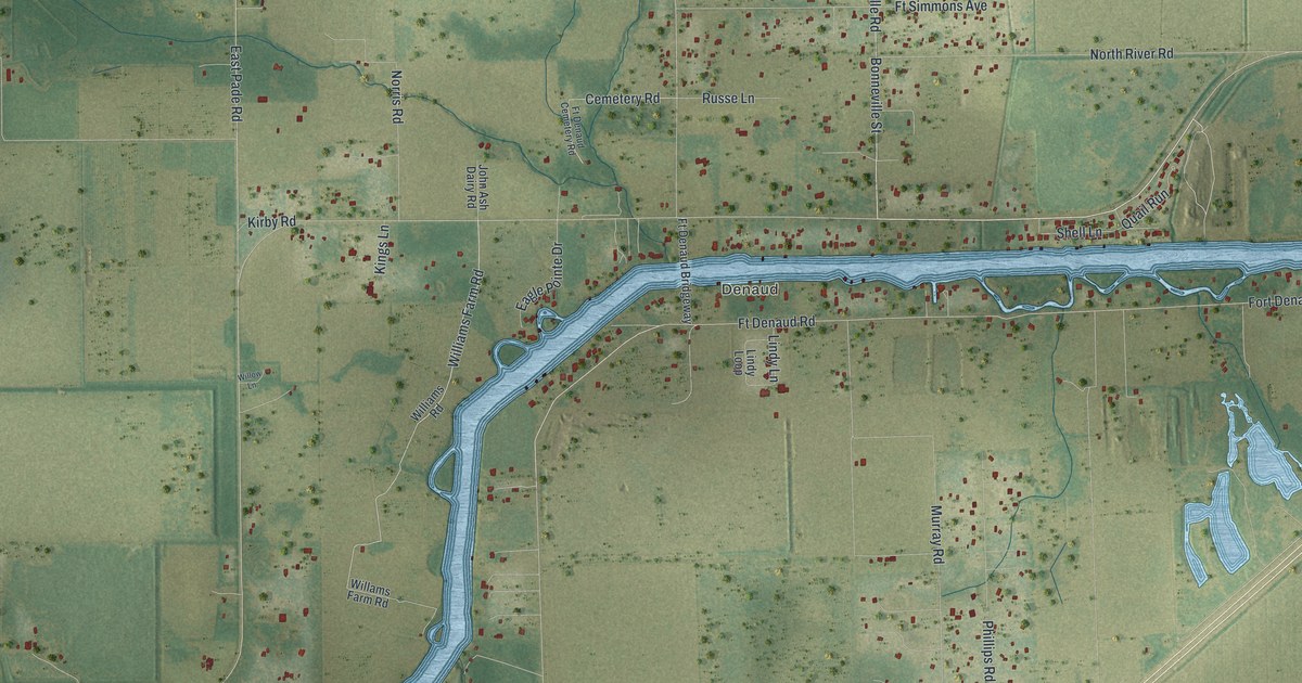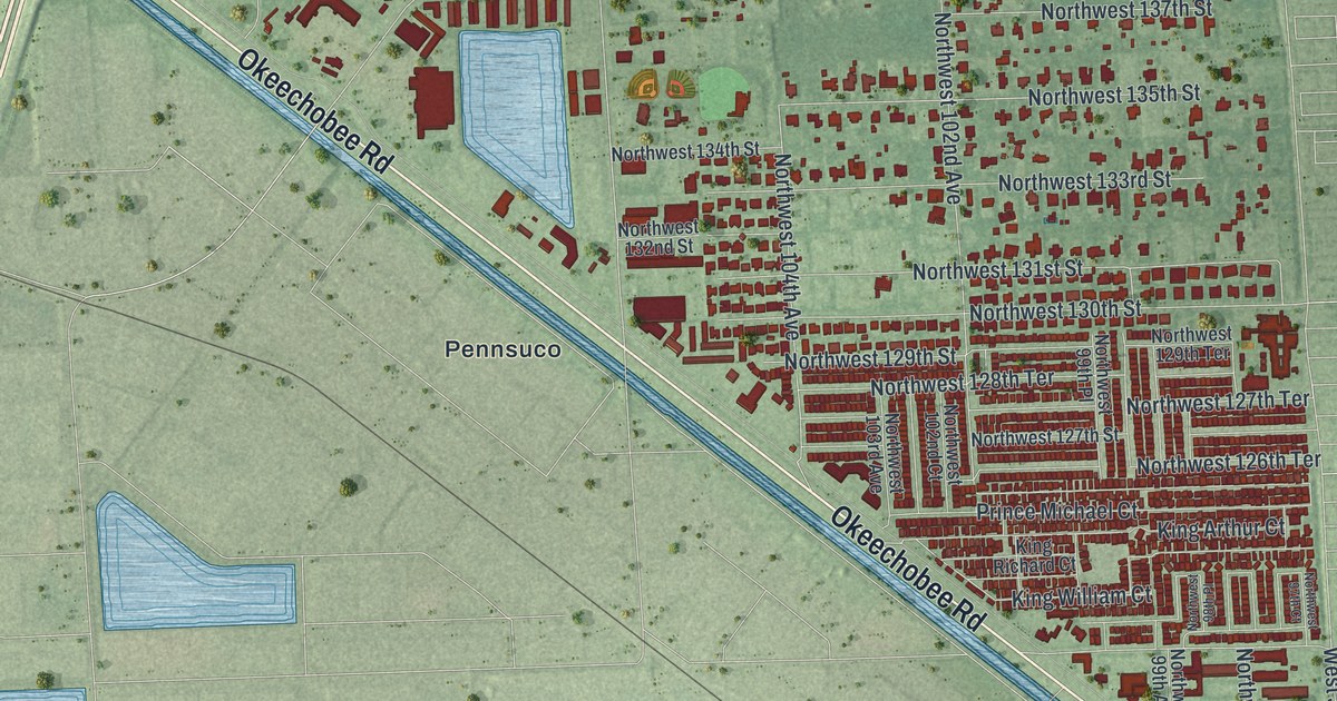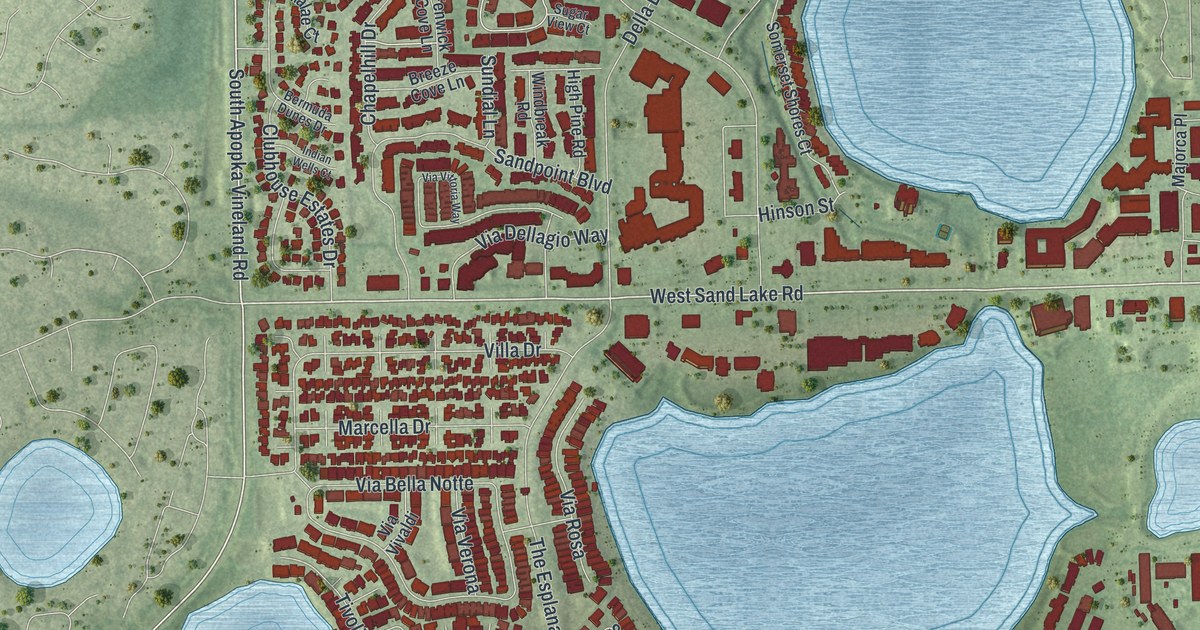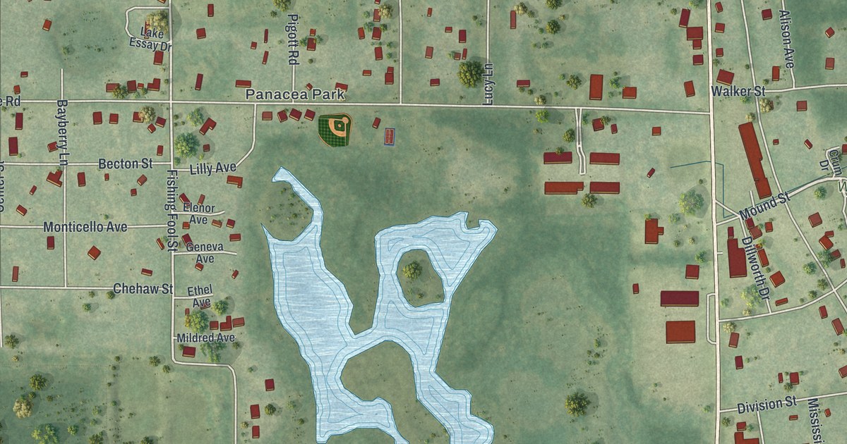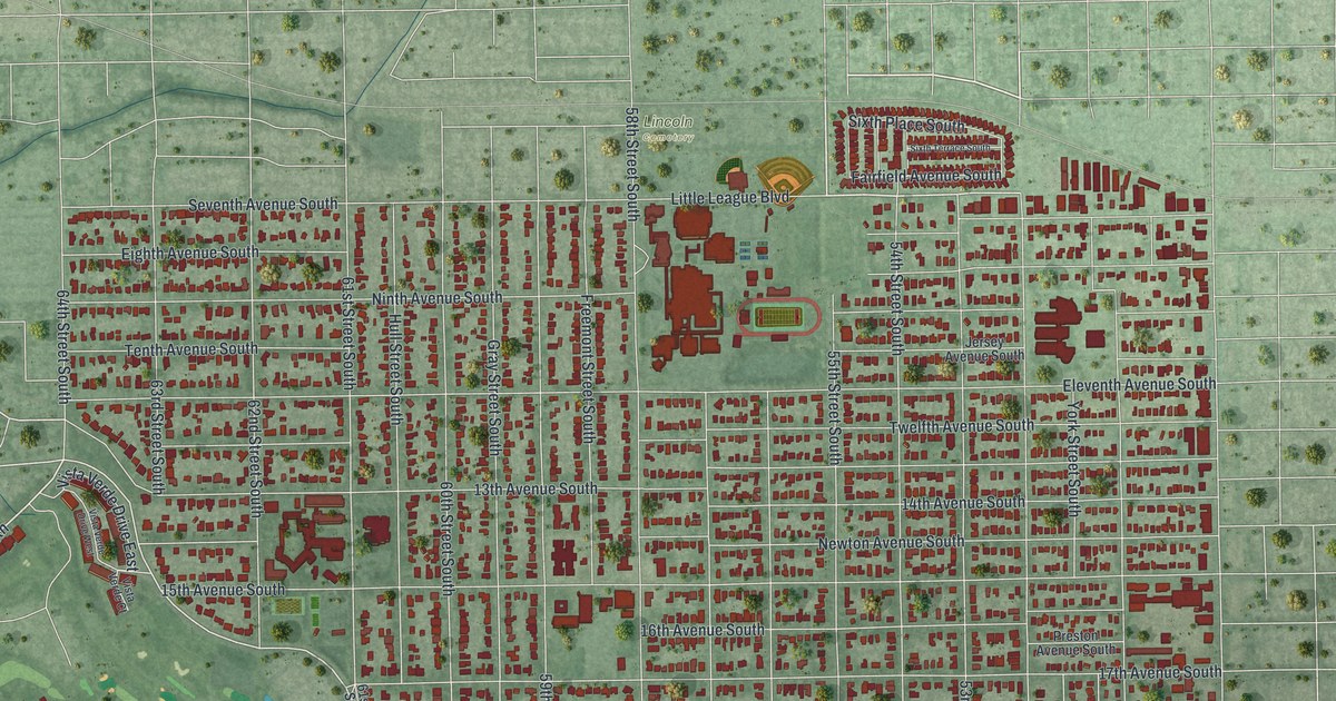
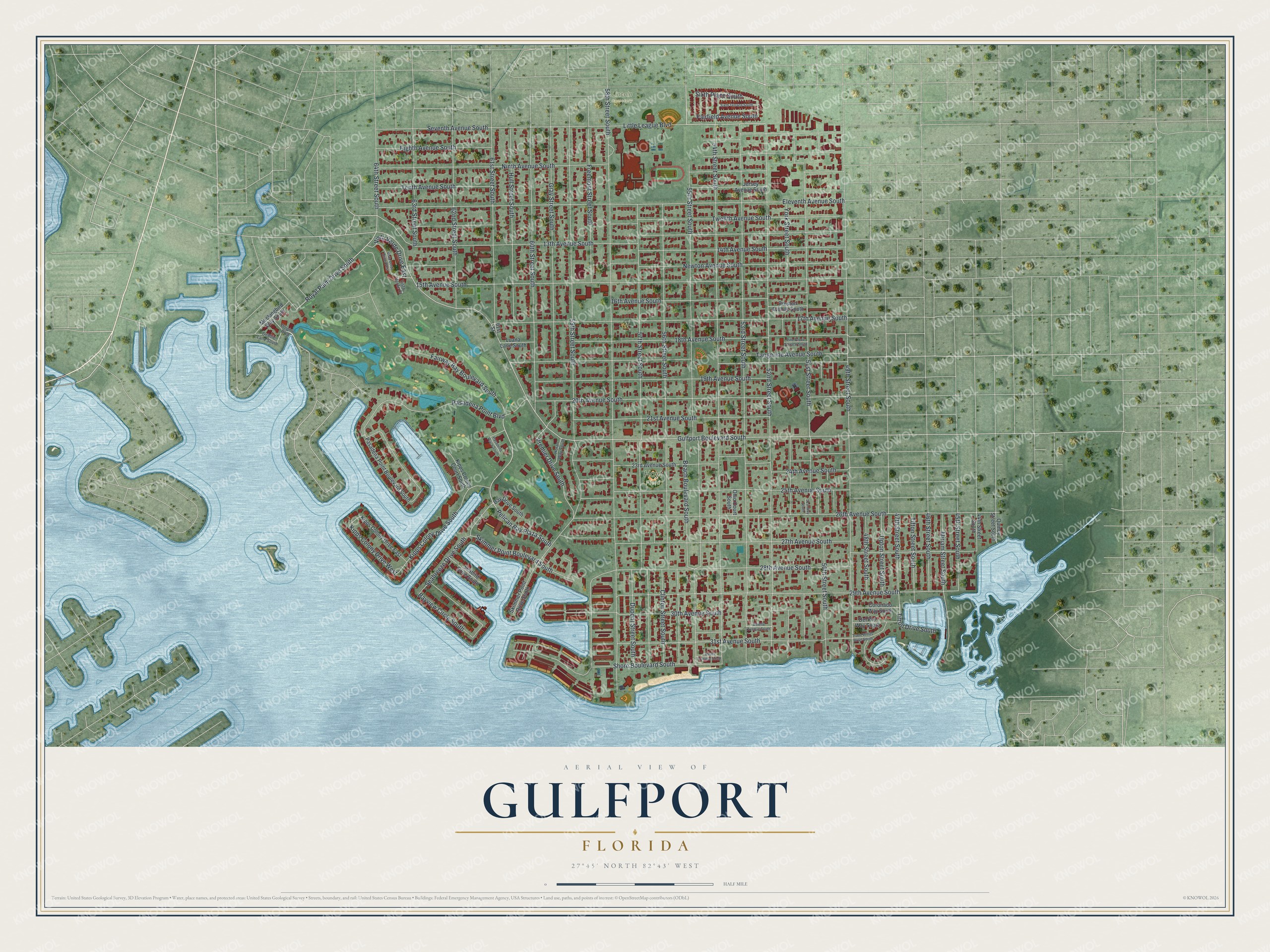
This beautifully detailed map of Gulfport, Florida was created in 2026 using aerial imagery combined with modern topographical, census, street and landmark data. It’s a one-of-a-kind view of Gulfport that combines accurate data with a vintage aesthetic. The map shows every building in its true location, many of the roads carry their names, and the shaded topographic relief shows the shape of the land.
Explore an aerial view of Gulfport, Florida
On the map you’ll find Lincoln Cemetery, Hoyt Field, and Pelican Bay Plaza South, along with Seventh Avenue South, Gulfport Boulevard South, 58th Street South, 54th Street South, 53rd Street South, 52nd Street South, 59th Street South, 49th Street South, 13th Avenue South, and more. If you look closely you can even find your house accurately drawn in its correct location. Zoom in on the preview to look for yours.
Did You Know?
James and Rebecca Barnett settled here in 1868 and called it Barnett’s Bluff. The place was later Bonifacio, then Disston City. In 1905 it became Veteran City, after John Chase’s plan for a retirement town for Civil War veterans. It took the name Gulfport in 1910.
Take a closer look at the Gulfport map
Names on this map
These names are printed on this map.
Places: Lincoln Cemetery and Hoyt Field.
Streets and roads: Vista Verde Drive East, Royal Palm Drive South, Seventh Avenue South, Pelican Bay Plaza South, Gulfport Boulevard South, Kipps Colony Drive West, 58th Street South, 54th Street South, 53rd Street South, 52nd Street South, 59th Street South, 49th Street South.
More street names, A to Z
13th Avenue South, 14th Avenue South, 15th Avenue South, 16th Avenue South, 17th Avenue South, 18th Avenue South, 19th Avenue South, 20th Avenue South, 21st Avenue South, 23rd Avenue South, 24th Avenue South, 25th Avenue South, 26th Avenue South, 27th Avenue South, 28th Avenue South, 29th Avenue South, 30th Avenue South, 31st Avenue South, 44th Street South, 45th Street South, 46th Street South, 47th Street South, 48th Street South, 50th Street South, 51st Street South, 51st Way South, 55th Street South, 56th Street South, 57th Street South, 60th Street South, 61st Street, 61st Street South, 62nd Street South, 63rd Street South, 64th Street South, Bay Drive South, Bayview Circle South, Beach Boulevard South, Clinton Street South, Coronado Way South, Debbie Lane South, Delette Avenue South, Del Rio Way South, Dolphin Boulevard, Dupont Street South, Eighth Avenue South, Eleventh Avenue South, Essex Avenue South, Fairfield Avenue South, Fairway Bay Boulevard South, Freemont Street South, Gray Street South, Horan Way South, Hull Street South, Jersey Avenue South, Kipps Colony Court South, Kipps Colony Drive East, Kipps Colony Drive South, Little League Boulevard, Luana Lane South, Miriam Street South, Mockingbird Way South, Newton Avenue South, Ninth Avenue South, Ohio Court South, Pasadena Place South, Pasadena Point Boulevard, Pasadena Point Boulevard South, Pine Grove Terrace South, Premier Drive South, Preston Avenue South, Quincy Street South, Seabird Drive South, Seabreeze Drive South, Shore Boulevard South, Sixth Place South, Sixth Terrace South, Skimmer Point Boulevard South, Skimmer Point Drive South, Tangerine Avenue South, Tenth Avenue South, Tifton Drive South, Tifton Street South, Trade Winds Drive South, Twelfth Avenue South, Upton Street South, Vista Verde Court, Vista Verde Drive West, York Street South.
See it on a wall
The Gulfport map as a framed print. Swipe for more.


This beautifully detailed map of Gulfport makes an attractive addition to your office, library, or den, and it can even be used to teach children the geography and history of the area. It also makes a great gift for anyone who grew up in Gulfport or moved away. When you’re done exploring, click here to get your copy of the Gulfport map.