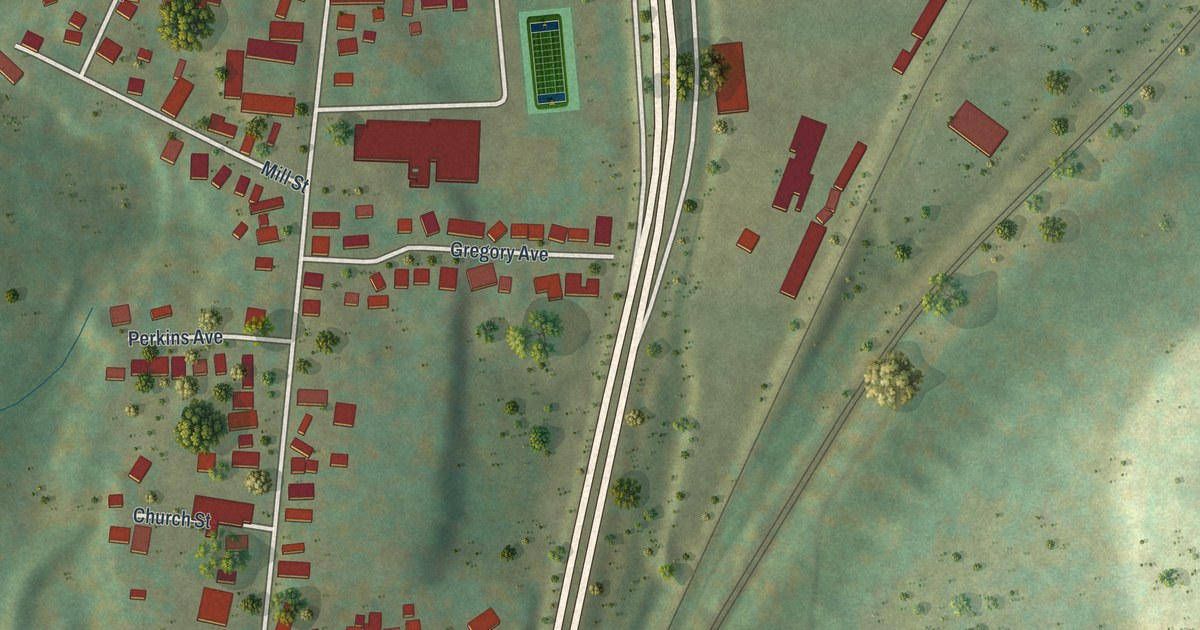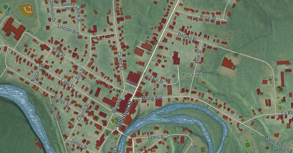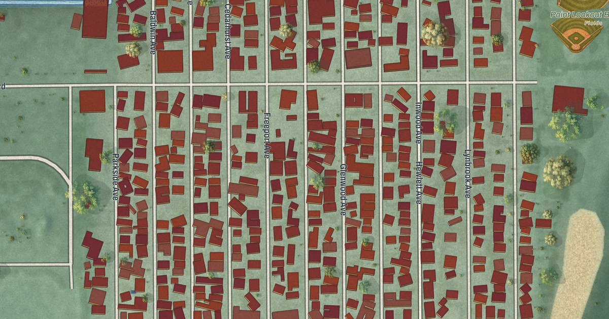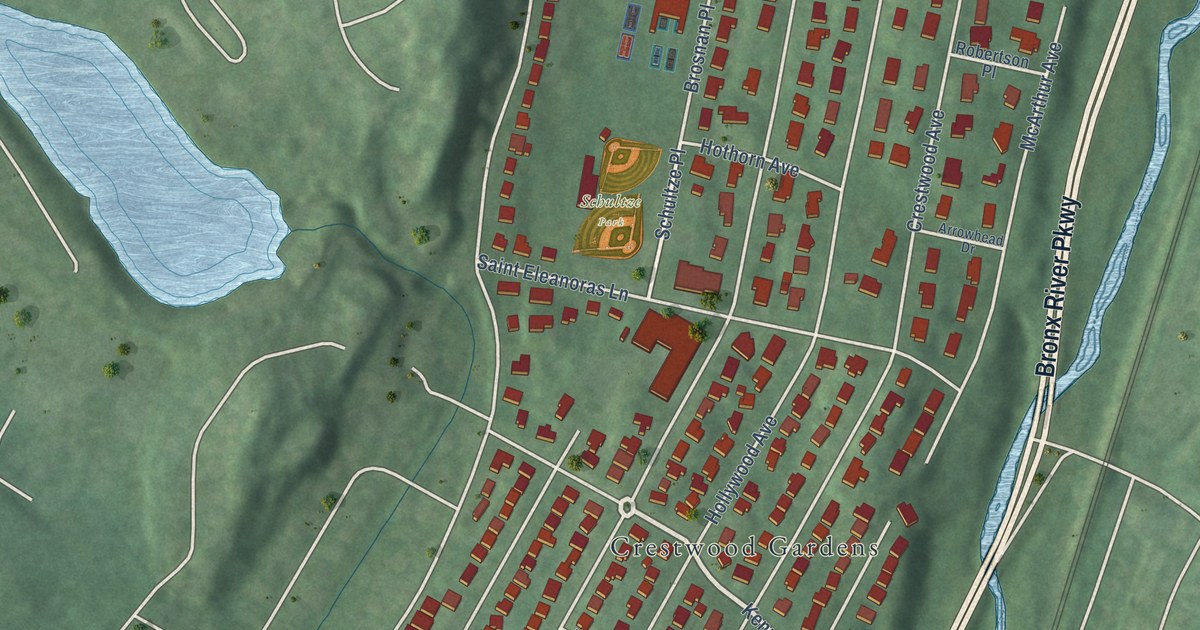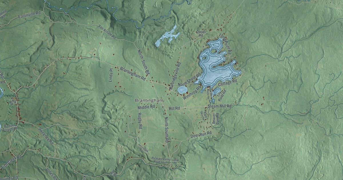
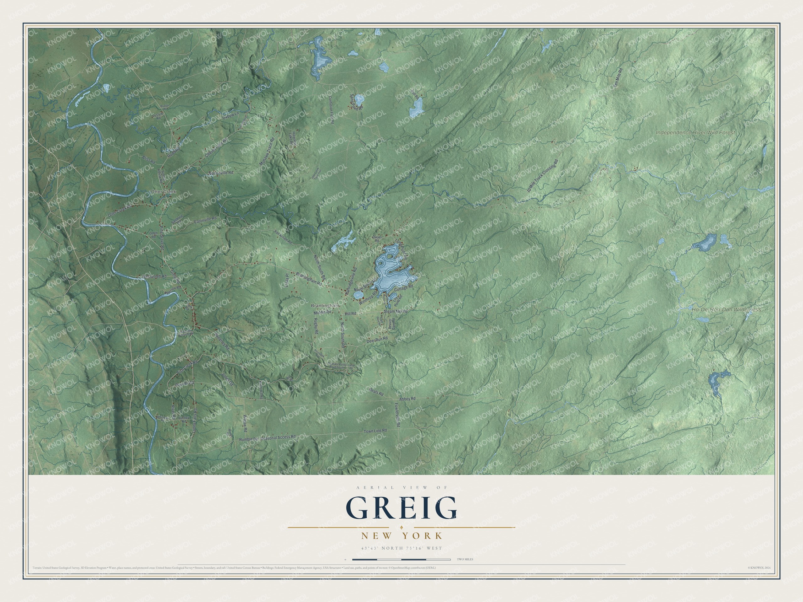
This beautifully detailed map of Greig, New York was created in 2026 using aerial imagery combined with modern topographical, census, street and landmark data. It’s a one-of-a-kind view of Greig that combines accurate data with a vintage aesthetic. The map shows every building in its true location, many of the roads carry their names, and the shaded topographic relief shows the shape of the land.
Explore an aerial view of Greig, New York
On the map you’ll find Otter Creek, Brantingham, and Independence River Wild Forest, along with Brantingham Road, Hill Road, North-South Road, Deer Run Road, South Road, and more. If you look closely you can even find your house accurately drawn in its correct location. Zoom in on the preview to look for yours.
Did You Know?
Greig was formed in 1828 from land taken out of Watson, and at first it was called Brantingham. In 1832 the town took the name of Congressman John Greig. The old name lives on in the hamlet of Brantingham and in Brantingham Lake.
Take a closer look at the Greig map
Names on this map
These names are printed on this map.
Places: Otter Creek, Brantingham, Ha-De-Ron-Dah Wilderness and Independence River Wild Forest.
Streets and roads: Brantingham Road, Hill Road, North-South Road, Deer Run Road, Seasonal Access Road, North South Road, Fish Creek Road, Greig Road, Rounds Road, Partridgeville Road, Abbey Road, Ten Mile Road.
More street names, A to Z
10 Mile Truck Crossing Road, Adirondack Avenue, Beals Road, Beaver Dam Road, Bliss Road, Bradish Road, Bull Road, Burdicks Crossing Road, Cappy Road, Chases Lake Road, Confusion Flats Road, Cottage Road, Donnattsburg Road, Dwyer Road, Eagle Drive Road, Eatonville Road, Fowlerville Road, Hartley Road, Hiawatha Lake Road, Jones Road, Kirch Hill Road, Lake House Road, Lily Pond Road, Linda Place, Long Point Road, Lustyik Road, Lyons Falls Road, McConnell Road, Middle Road, Mohawk Trace Road, Monks Road, North Shore Road, Nortonville Road, Odett Road, Otter Creek Road, Otter Creek Truck Trail, Oxbow Lane, Park Road, Paterson Road, Pine Grove Road, Pleasant Valley Road South, River Road, Rudd Road, Ru Drive, Rugby Road, Rumble Road, Salsburg Road, Sand Pond Road, School House Road, Steam Mill Road, Sweeney Road, Town Line Road, Van Arnam Road, Whittlesly Road, Wilcox Road, Winthrop Road.
See it on a wall
The Greig map as a framed print. Swipe for more.


This beautifully detailed map of Greig makes an attractive addition to your office, library, or den, and it can even be used to teach children the geography and history of the area. It also makes a great gift for someone who left Greig and still calls it home. When you’re done exploring, click here to get your copy of the Greig map.