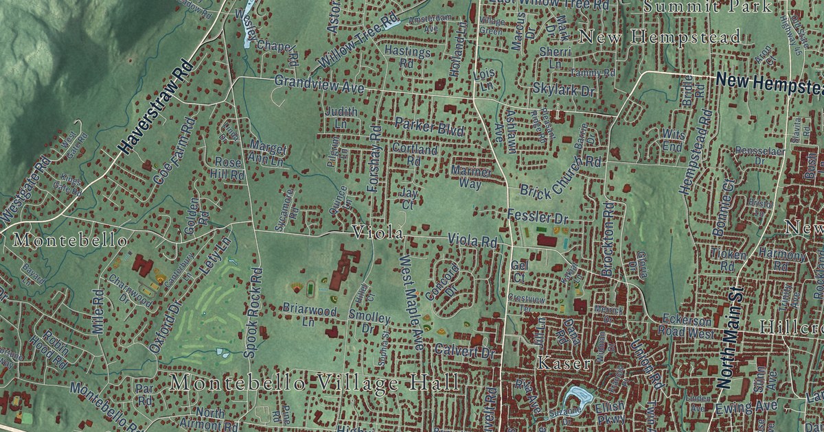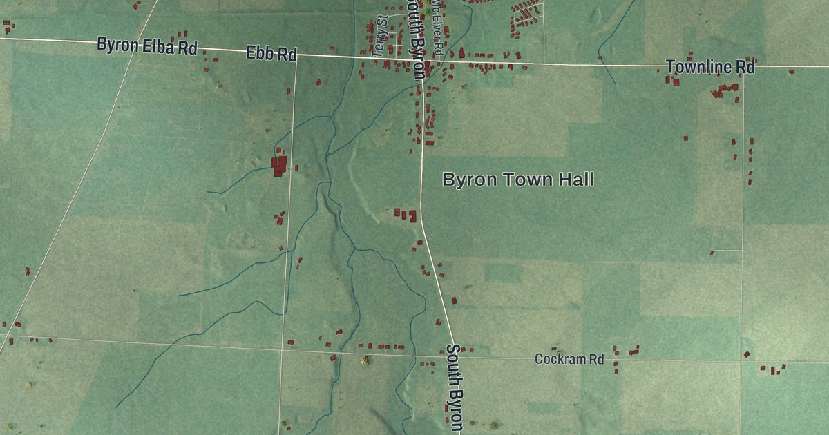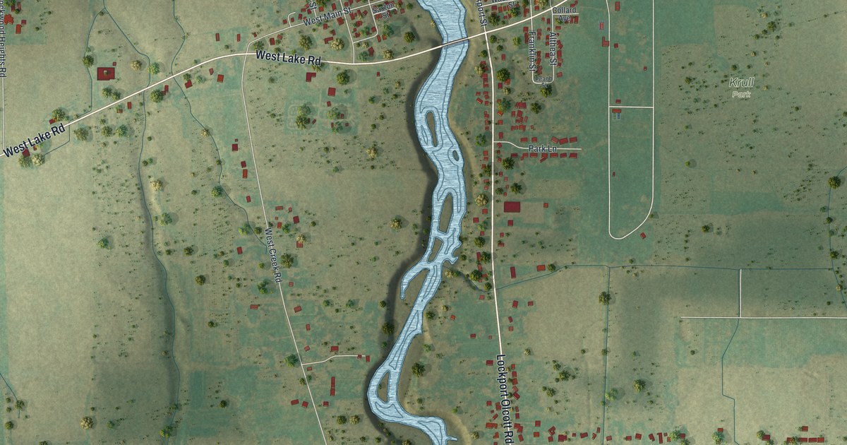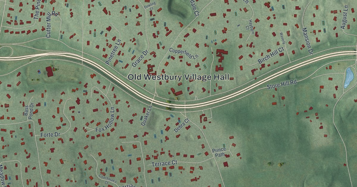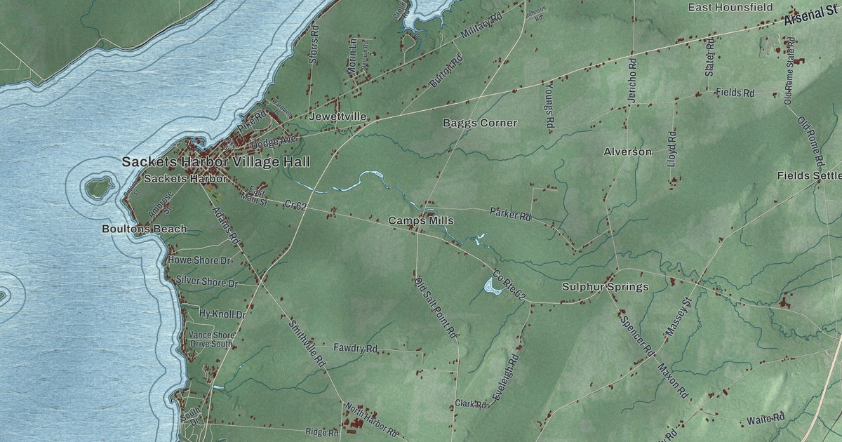
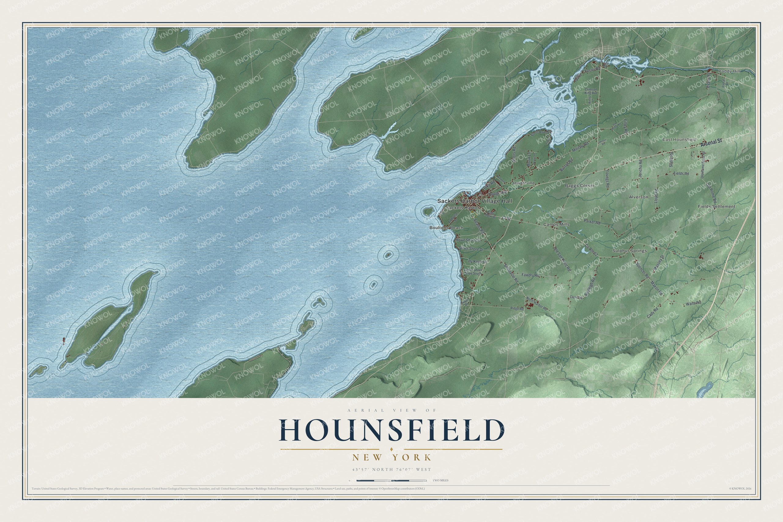
This beautifully detailed map of Hounsfield, New York was created in 2026 using aerial imagery combined with modern topographical, census, street and landmark data. It’s a one-of-a-kind view of Hounsfield that combines accurate data with a vintage aesthetic. The map shows every building in its true location, many of the roads carry their names, and the shaded topographic relief shows the shape of the land.
Explore an aerial view of Hounsfield, New York
On the map you’ll find Sackets Harbor Village Hall, Paddy Hill, East Hounsfield, Alverson, Baggs Corner, and Boultons Beach, along with Arsenal Street, Adams Road, Spencer Road, Old Salt Point Road, and more. If you look closely you can even find your house accurately drawn in its correct location. Zoom in on the preview to look for yours.
Did You Know?
Augustus Sackett bought this land in 1801 and worked hard to build up its population. He named the town for Ezra Hounsfield, a land agent who once owned its southern part. Hounsfield was split off from Watertown in 1806.
Take a closer look at the Hounsfield map
Names on this map
These names are printed on this map.
Places: Sackets Harbor Village Hall, Paddy Hill, East Hounsfield, Alverson, Baggs Corner, Boultons Beach, Camps Mills, Fields Settlement, Jewettville, Sackets Harbor and Sulphur Springs.
Streets and roads: Arsenal Street, Adams Road, Spencer Road, Old Salt Point Road, County Route 62, Foster Road, Smithville Road, Maxon Road, Massey Street, Evans Road, Military Road, Jericho Road.
More street names, A to Z
Ambrose Street, Burton Road, Cady Road, Clark Road, Cr 62, Crimson King Avenue, Cronk Road, Derouin Road, Dodge Avenue, East Main Street, Eveleigh Road, Fawdry Road, Fields Road, Filley Road, Floral Drive, Foster Park Road, Howe Shore Drive, Hy Knoll Drive, Johnson Road, Lee Road, Lloyd Road, Morin Lane, North Harbor Road, Old Military Road, Old Rome Road, Old Rome State Road, Ontario Street, Parker Road, Pike Road, Pike Street, Ridge Road, Silver Shore Drive, Slater Road, South Drive, Storrs Road, Storrs Road Extension, Vance Shore Drive South, Waite Road, Wardwell Drive, Windy Lane, Youngs Road.
See it on a wall
The Hounsfield map as a framed print. Swipe for more.


This beautifully detailed map of Hounsfield makes an attractive addition to your office, library, or den, and it can even be used to teach children the geography and history of the area. It also makes a great gift for anyone with Hounsfield roots. When you’re done exploring, click here to get your copy of the Hounsfield map.