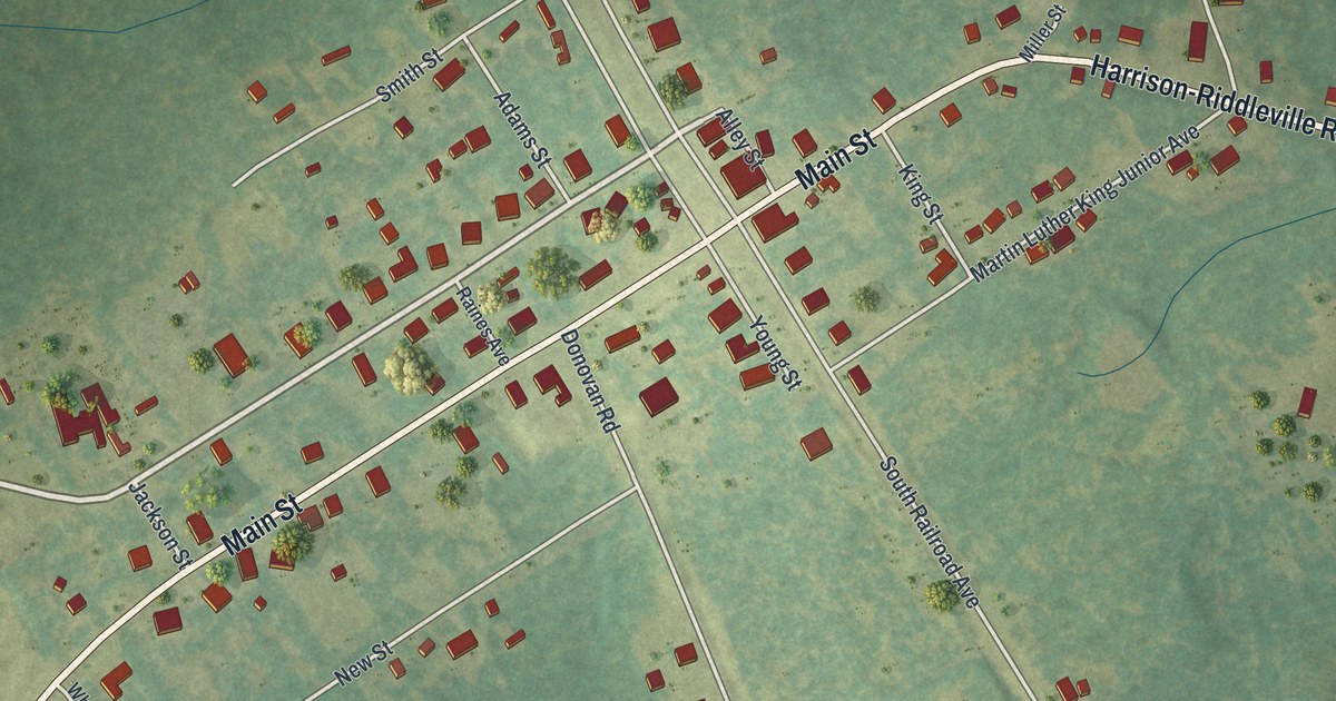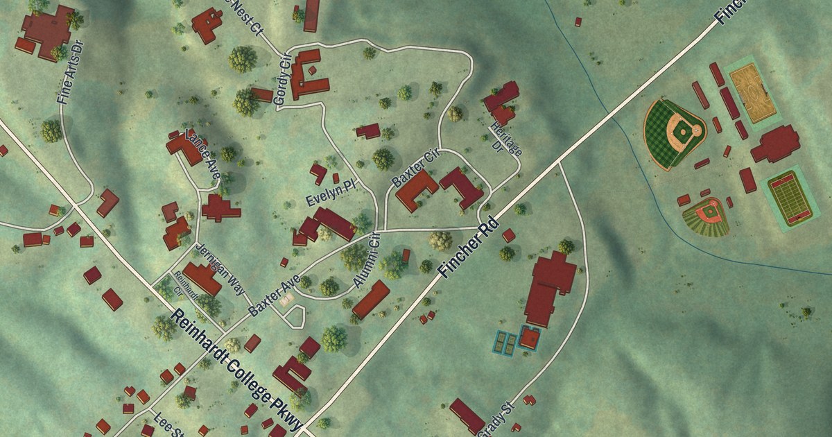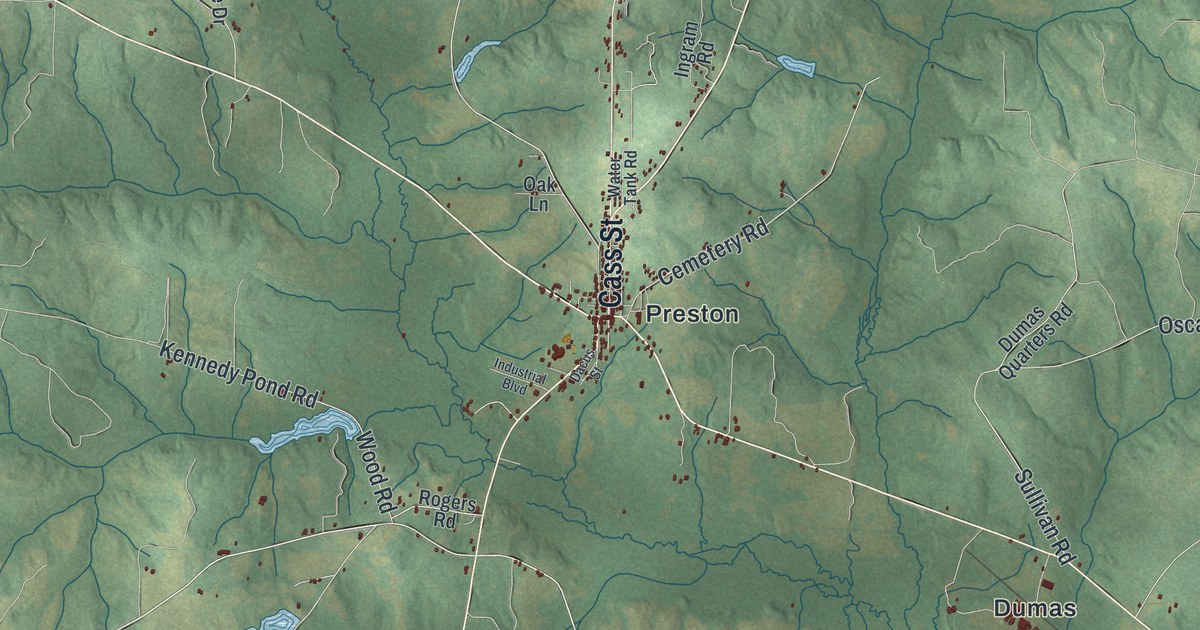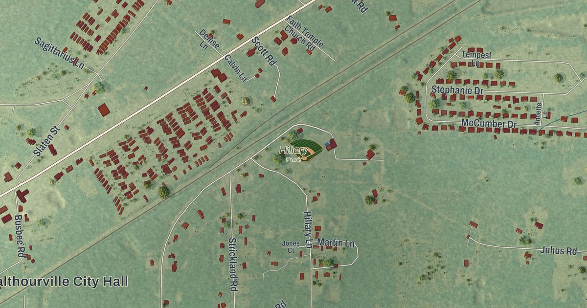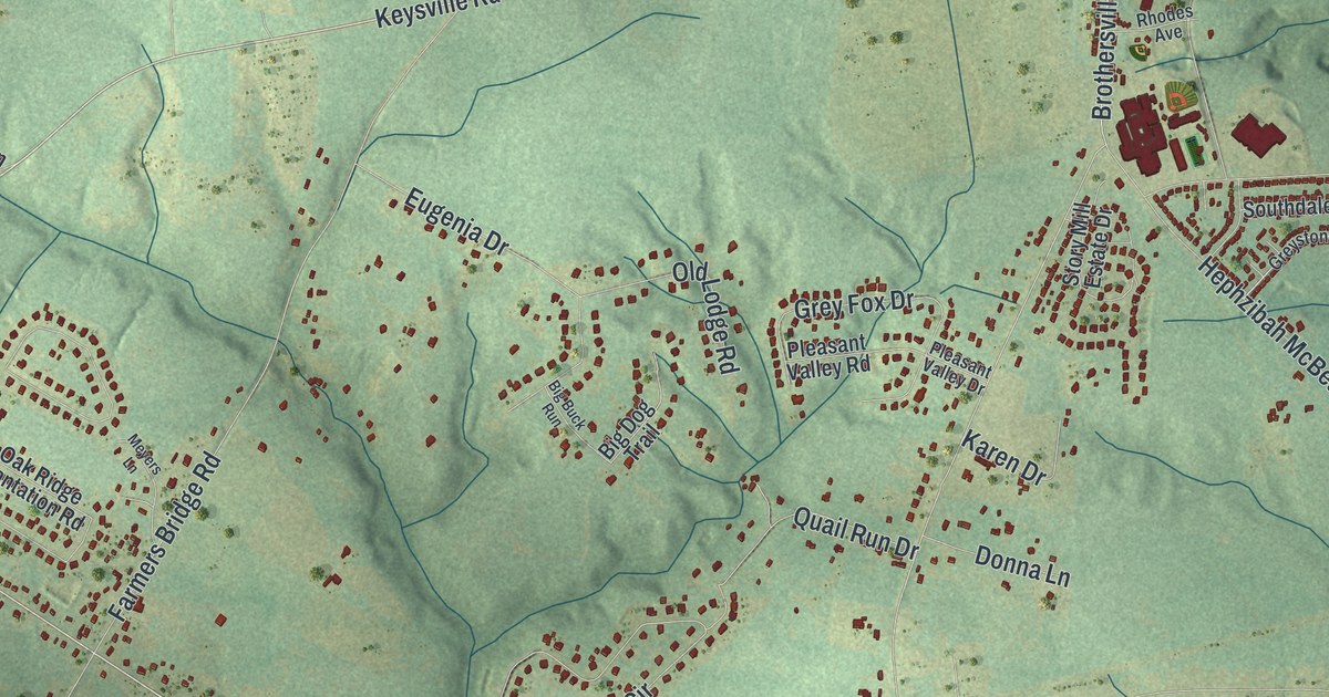
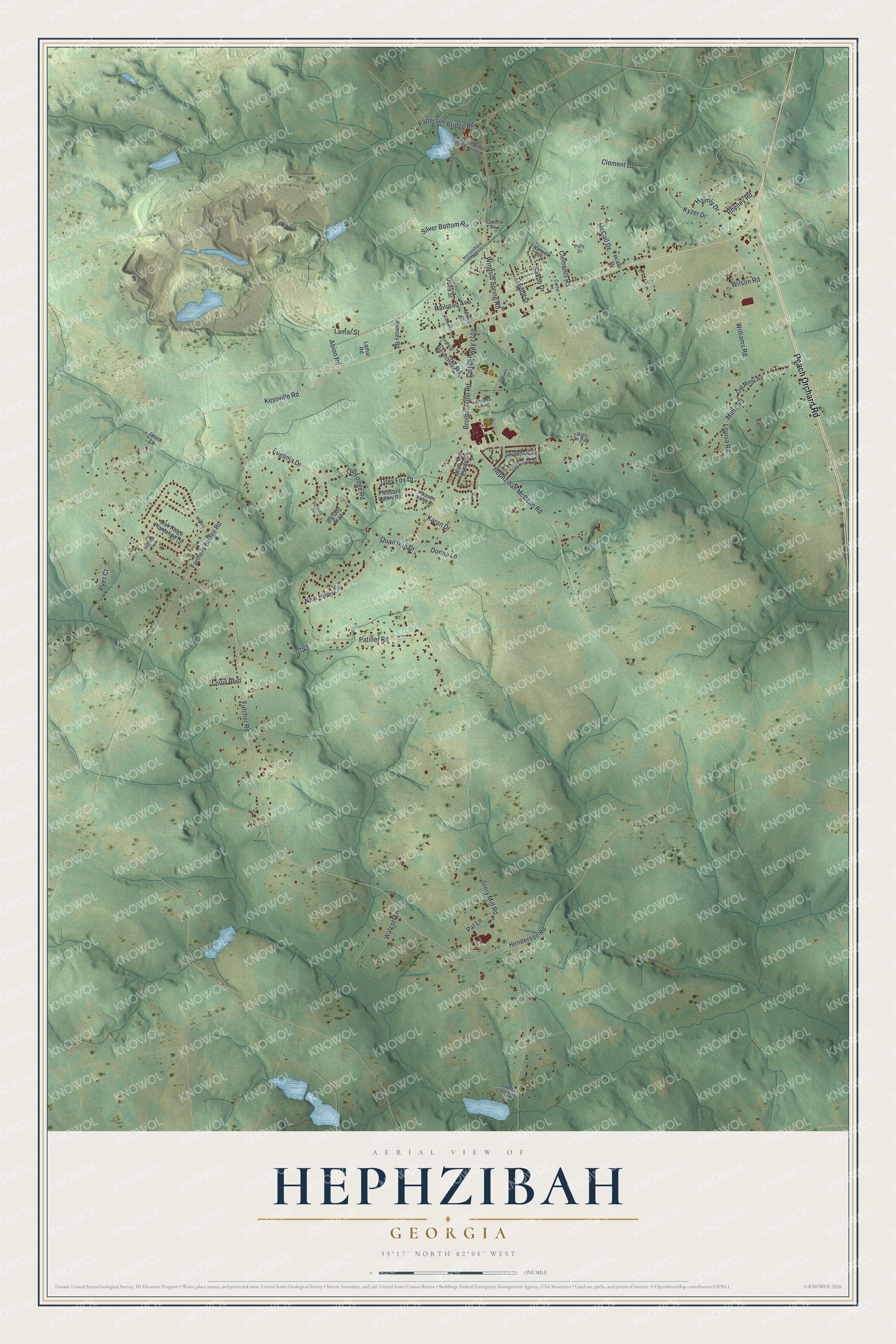
This beautifully detailed map of Hephzibah, Georgia was created in 2026 using aerial imagery combined with modern topographical, census, street and landmark data. It’s a one-of-a-kind view of Hephzibah that combines accurate data with a vintage aesthetic. The map shows every building in its true location, many of the roads carry their names, and the shaded topographic relief shows the shape of the land.
Explore an aerial view of Hephzibah, Georgia
On the map you’ll find Peach Orchard Road, Keysville Road, Abion Road, Fulcher Road, Lamar Street, and more. If you look closely you can even find your house accurately drawn in its correct location. Zoom in on the preview to look for yours.
Did You Know?
Hephzibah was incorporated on October 24, 1870. It was named for the Hephzibah Baptist Association. The name is a word from the Bible and stands as a symbol for Zion. That’s from the U.S. Geological Survey place names records.
Take a closer look at the Hephzibah map
Names on this map
These names are printed on this map.
Places: Mims Tlr Park.
Streets and roads: Peach Orchard Road, Keysville Road, Abion Road, Fulcher Road, Lamar Street, Henderson Road, Windsor Spring Road, Story Mill Road, Mims Road, Farmers Bridge Road, Hephzibah McBean Road, Wilson Road.
More street names, A to Z
Big Buck Run, Big Dog Trail, Brothersville Road, Carroll Drive, Carswell Street, Carter Lane, Clement Drive, Clements Road, County Highway 1105, Davis Street, Donna Lane, Eugenia Drive, Grey Fox Drive, Greystone Drive, Helmly Drive, Horseshore Road, Jason Lane, Karen Drive, Kyzer Drive, Lamar Road, Louisa Road, Louis Boulevard, McCall Drive, McCall Street, Meyers Lane, Miller Street, Murphy Street, New Hope Circle, Oak Ridge Plantation Road, Old Lodge Road, Old Mims Road, Patiller Road, Pat Lane, Patterson Bridge Road, Patterson Bridge Road Extended, Pleasant Valley Drive, Pleasant Valley Road, Polly Drive, Pyes Court, Quail Run Drive, Railroad Avenue, Ramsey Road, Red Oak Trail, Reynolds Road, Rheney Road, Rhodes Avenue, Saxon Drive, Silver Bottom Road, Southdale Drive, Story Mill Estate Drive, Tinkers Creek Trail, Traylor Street, Walcott Lane, Warwick Avenue, Williams Road.
See it on a wall
The Hephzibah map as a framed print. Swipe for more.


This beautifully detailed map of Hephzibah makes an attractive addition to your office, library, or den, and it can even be used to teach children the geography and history of the area. It also makes a great gift for anyone with Hephzibah roots. When you’re done exploring, click here to get your copy of the Hephzibah map.