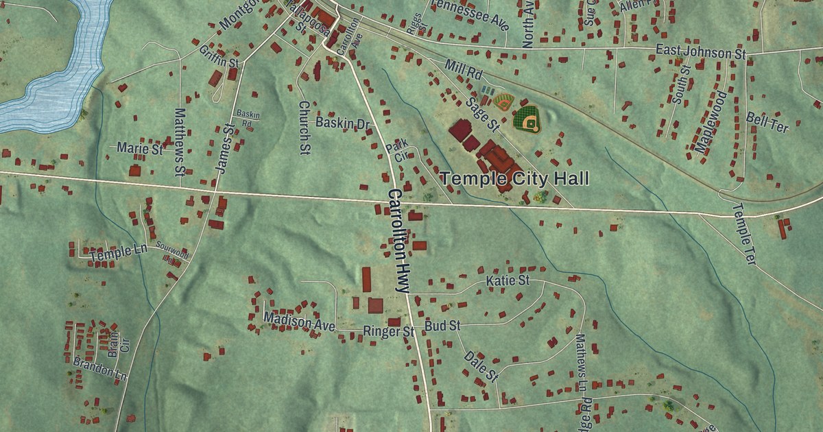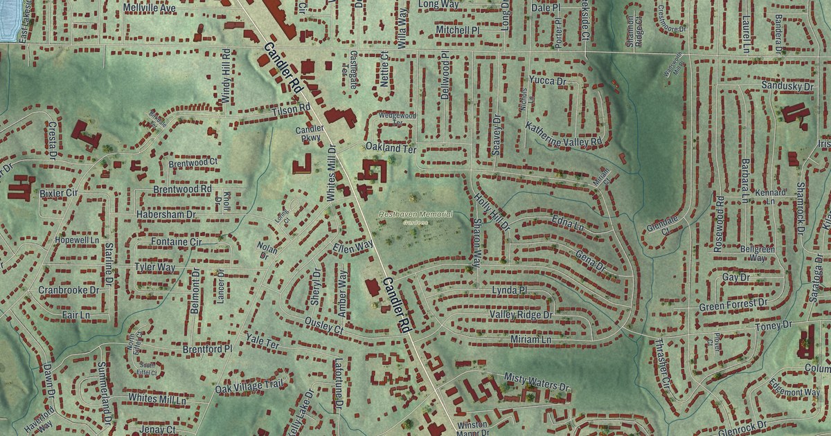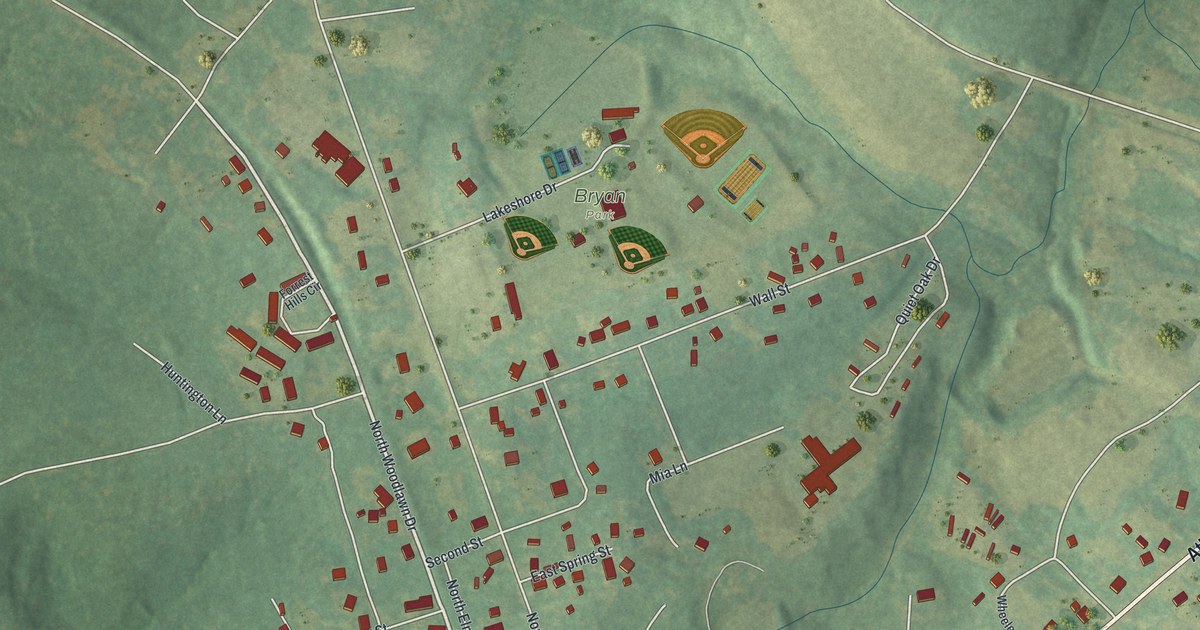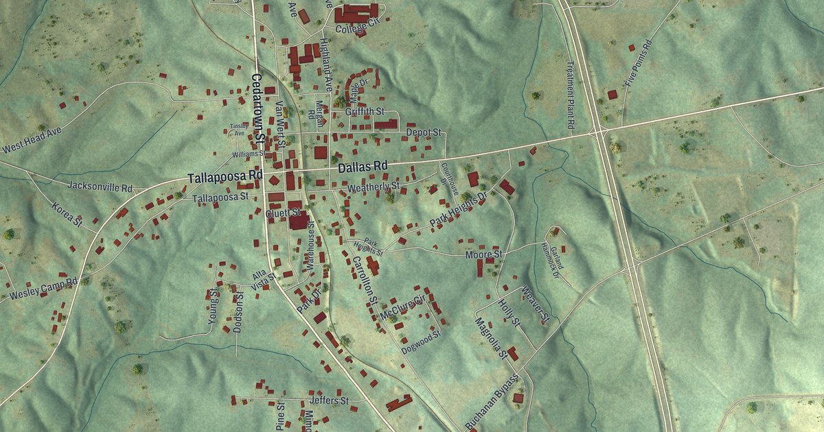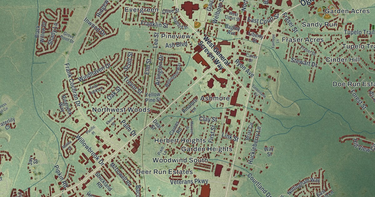
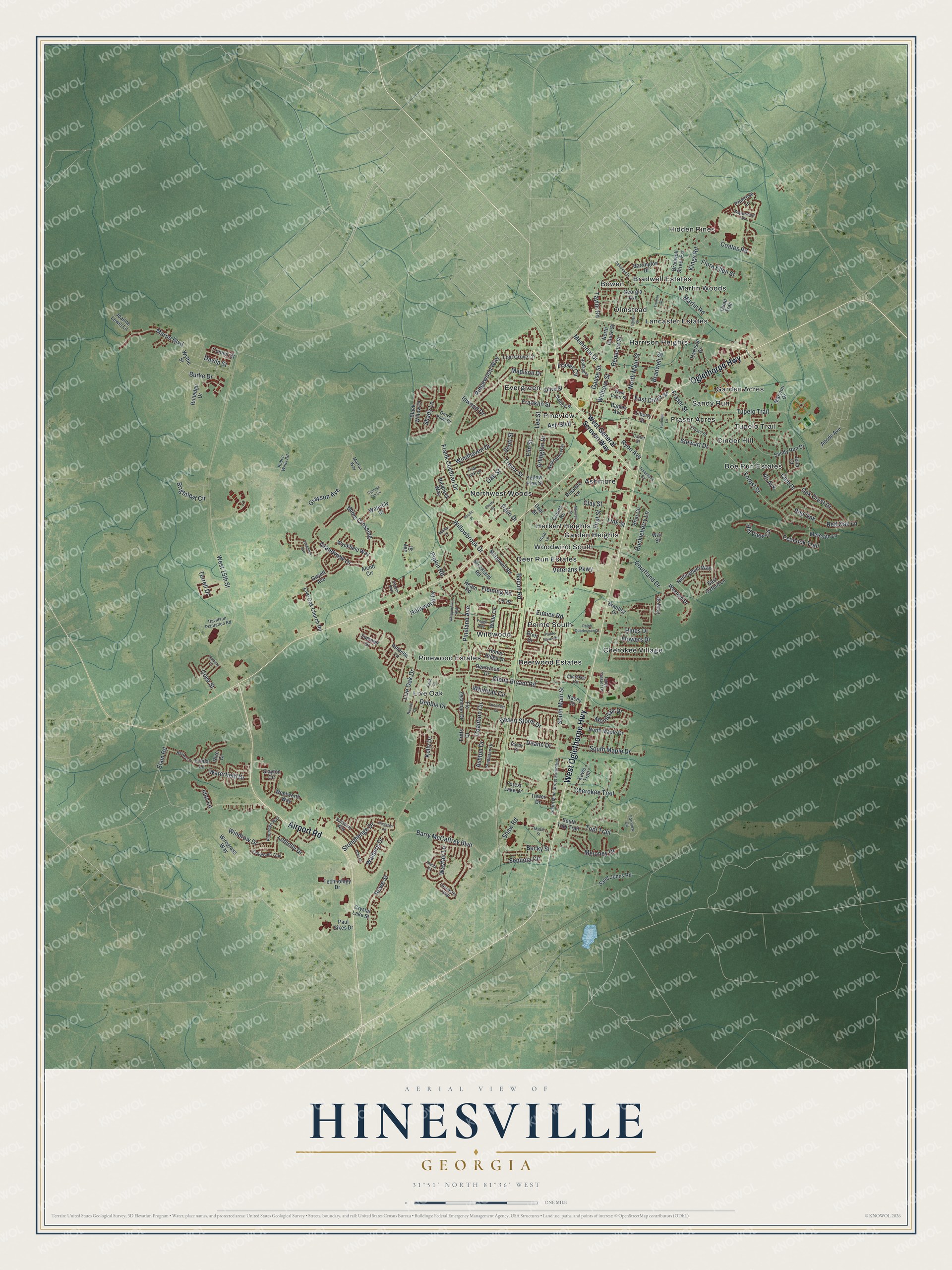
This beautifully detailed map of Hinesville, Georgia was created in 2026 using aerial imagery combined with modern topographical, census, street and landmark data. It’s a one-of-a-kind view of Hinesville that combines accurate data with a vintage aesthetic. The map shows every building in its true location, many of the roads carry their names, and the shaded topographic relief shows the shape of the land.
Explore an aerial view of Hinesville, Georgia
On the map you’ll find Hidden Pines, Ashmore, Bowen, Cherokee Village, and Cinder Hill, along with Airport Road, Oglethorpe Highway, General Screven Way, Main Street, Burke Drive, and more. If you look closely you can even find your house accurately drawn in its correct location. Zoom in on the preview to look for yours.
Did You Know?
Hinesville was laid out and named in honor of Charlton Hines. For years Hines represented the county in the General Assembly. People knew him for his business drive, tireless energy and open hospitality. Hines and other families made their homes here, and they built a church and started a school. That’s from the 1876 Liberty County address at Hinesville.
Take a closer look at the Hinesville map
Names on this map
These names are printed on this map.
Places: Hidden Pines, Ashmore, Bowen, Bradwell Estates, Cherokee Village, Cinder Hill, Deer Run Estates, Deerwood Estates, Doe Run Estates, Evergreen, Fraser Acres, Garden Acres, Garden Heights, Harrison Heights, Herbert Heights, Lancaster Estates, Live Oak, Martin Woods, Northwest Woods, Olmstead, Pineview, Pinewood Estates, Pointe South, Sandy Run, Tupelo Trail, Wildwood and Woodwind South.
Streets and roads: Airport Road, West Oglethorpe Highway, Oglethorpe Highway, North Main Street, Burke Drive, South Main Street, Marne Boulevard, Gause Street, Veterans Parkway, West 15th Street, Frank Cochran Drive, Kelly Drive.
More street names, A to Z
Abode Avenue, Alcott Circle, Ali Avenue, Amanda Lane, Arlington Drive, Ash Boulevard, Ashton Drive, Bacon Road, Bagley Avenue, Barley Lane, Barrington Drive, Barry McCaffrey Boulevard, Becky Street, Black Willow Drive, Blair Court, Bradwell Street, Bradwell Street Extension, Brantley Drive, Brett Drive, Briar Circle, Brightleaf Circle, Caines Road, Carter Street, Cherokee Circle, Cherokee Trail, Cherry Street, Citation Boulevard, Clay Street, Club Drive, Coalition Circle, Coates Road, Conner Court, Courtland Drive, Cove Street, Crystal Lake Street, Cypress Fall Circle, Davidson Plantation Road, Davila Street, Deal Street, Deann Drive, Debbie Drive, Deerwood Drive, Desert Storm Drive, East Court Street, East Oxford Lane, Easy Street, Elam Road, Elm Street, Eunice Road, Evergreen Trail, Fairhope Lane, Fairview Circle, Firefinder Lane, First Street, Fleming Road, Flora Ellen Street, Flowers Drive, Flo Zechman Drive, Forest Lake Drive, Forest Street, Franklin Street, Fraser Circle, Fraser Drive, Fraser Street, Friar Tuck Lane, Fritts Court, Georgia Avenue, Glenn Bryant Road, Grandview Drive, Grayson Avenue, Grove Point Drive, Guyett Avenue, Harrison Drive, Hearn Road, Hill View Circle, Hines Drive, Hollywood Drive, Honey Ridge Lane, Huckleberry Lane, Idus Lane, Inwood Drive, Jay Street, Jena Court, Joanne Lewis Lane, Kacey Drive, Keith Drive, Kings Road, Kingston Lane, Kuwe Trail, Lancaster Loop, Lee Road, Lee Street, Liberty Street, Link Street, Live Oak Church Road, Live Oak Drive, Loblolly Drive, Long Frasier Drive, Lost Grove Lane, Lyndsi Lane, Madison Drive, Malibu Drive, Manta Cv, Marron Way, Martin Road, Marylou Drive, Mattie Street, Maxwell Street, McDowell Road, Meloney Drive, Memorial Drive, Meredith Lane, Miles Crossing, Montclair Drive, North Gause Street, North Maple Drive, Nottingham Way, Oak Crest Drive, Oak Street, Ogden Street, Olive Street, Olmstead Drive, Pacific Place, Palm Drive, Paul Sikes Drive, Peacock Trail, Peggy Sue, Pendleton Drive, Piedmont Avenue, Pinafore Lane, Pineland Avenue, Pineridge Way, Pipkin Road, Pixie Lane, Pointe South Drive, Primrose Lane, Quail Trail, Ralph Quarterman Drive, Randy Court, Rebecca Street, Red Oak, Red Oak Lane, Ricade Drive, Rice Court, Ridgewood Way, Ringneck Way, Rolland Street, Rowe Street, Ruben Wells Road, Rutledge Drive, Ryon Avenue, Sagewood Drive, Saint Johns Road, Salisbury Way, Sandy Run Drive, Scott Street, Sequoia Circle, Shady Lane, Shaw Road, Slayton Circle, South Main Street Extended, South Maple Drive, South Topi Trail, Stafford Street, Stewart Drive, Stonehenge Drive, Strickland Road, Summer Drive, Taylor Road, Technology Drive, Terrell Drive, Timberlane Circle, Topi Trail, Tower Drive, Trevor Street, Truman Street, Walberg Drive, Waterfield Drive, Waterlily Court, Wayfair Lane, Way Street, Welborn Street, Wellington Way, Wentworth Way, West Court Street, West General Screven Way, Wexford Drive, Whippoorwill Way, White Circle, Whitetail Circle, Willowbrook Drive, Windhaven Drive, Windrow Drive, Wiregrass Way, Wyckfield Way, Wythe Street, Yellow Pine Street, Zachary Court.
See it on a wall
The Hinesville map as a framed print. Swipe for more.


This beautifully detailed map of Hinesville makes an attractive addition to your office, library, or den, and it can even be used to teach children the geography and history of the area. It also makes a great gift for anyone who grew up in Hinesville or moved away. When you’re done exploring, click here to get your copy of the Hinesville map.