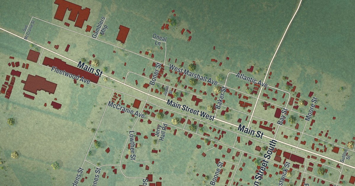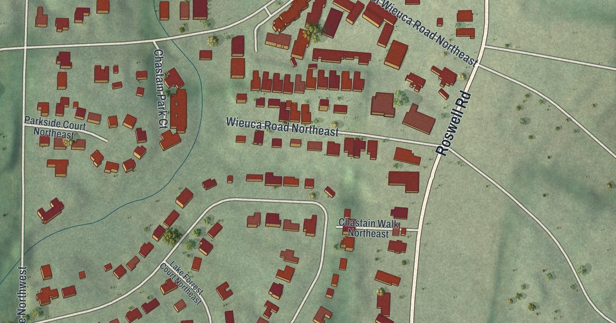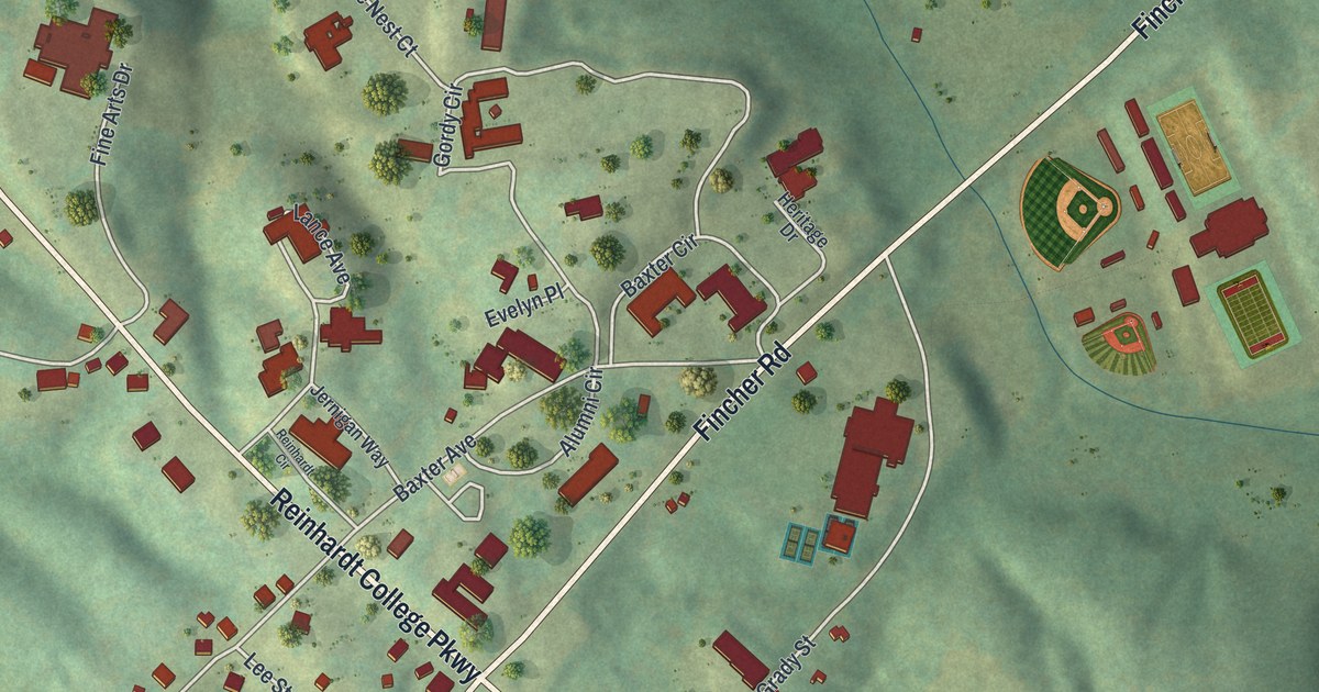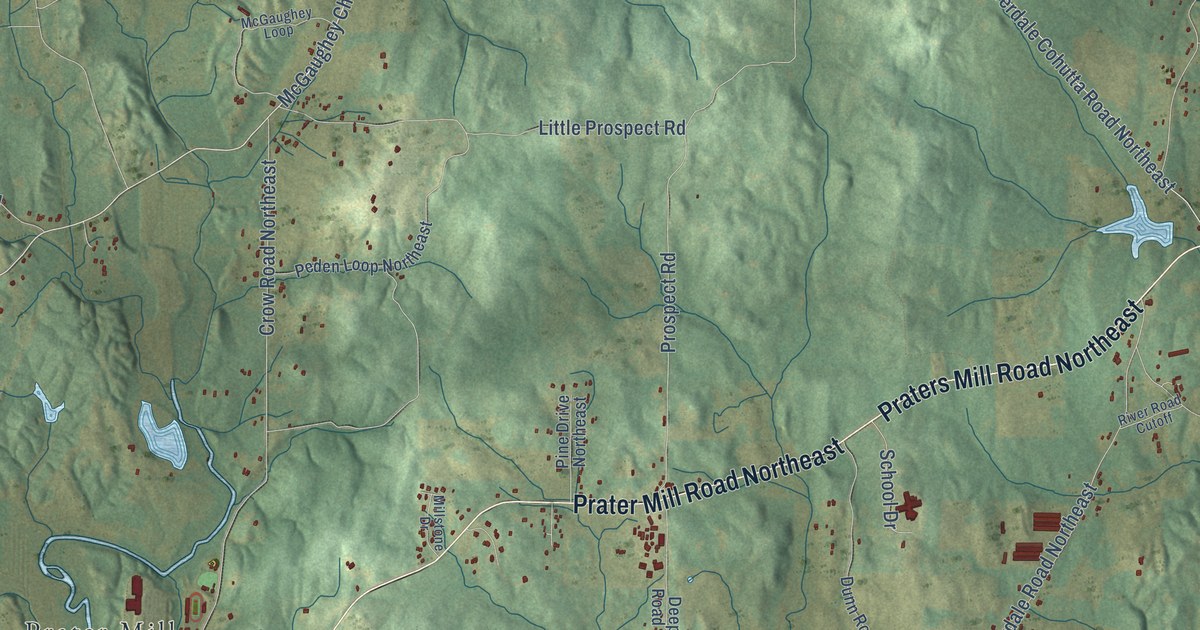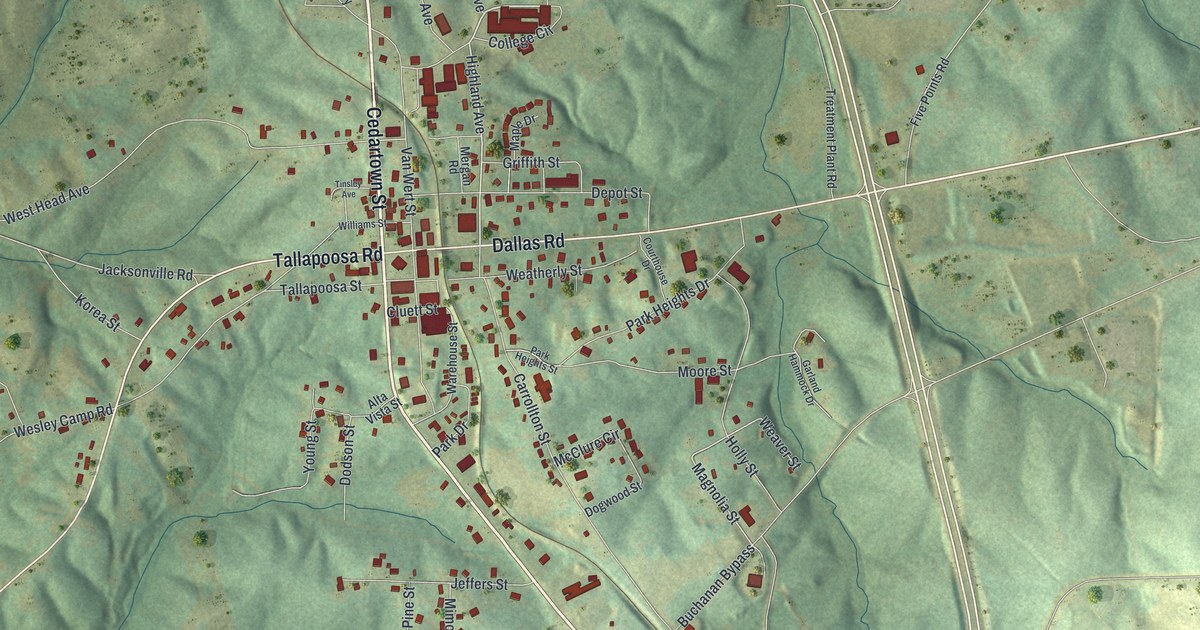
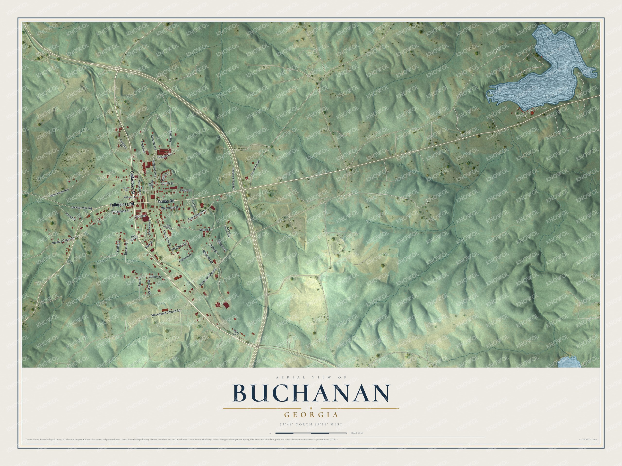
This beautifully detailed map of Buchanan, Georgia was created in 2026 using aerial imagery combined with modern topographical, census, street and landmark data. It’s a one-of-a-kind view of Buchanan that combines accurate data with a vintage aesthetic. The map shows every building in its true location, many of the roads carry their names, and the shaded topographic relief shows the shape of the land.
Explore an aerial view of Buchanan, Georgia
On the map you’ll find Tallapoosa Road, Cedartown Street, Dallas Road, Highland Avenue, Magnolia Street, and more. If you look closely you can even find your house accurately drawn in its correct location. Zoom in on the preview to look for yours.
Did You Know?
Buchanan was founded in 1856 to serve as the seat of the new Haralson County. It was named for President James Buchanan. The city keeps the Little Creek One-room Schoolhouse, one of the few left in Georgia. Around 1900 the state had about 7,000 such schools.
Take a closer look at the Buchanan map
Names on this map
These names are printed on this map.
Streets and roads: Tallapoosa Road, Cedartown Street, Dallas Road, Highland Avenue, Magnolia Street, Van Wert Street, West Head Avenue, Carrollton Street, Moore Street, Buchanan Bypass, Tallapoosa Street, Depot Street.
More street names, A to Z
Alta Vista Street, Cemetery Circle, Cluett Street, College Circle, Courthouse Drive, Dodson Street, Dogwood Street, First Avenue, Five Points Road, Garland Hammock Drive, Griffith Street, Holly Street, Jacksonville Road, Jeffers Street, Korea Street, Macedonia Church Road, Maple Drive, McClure Circle, Mergan Road, Mimosa Street, Park Drive, Park Heights Drive, Park Heights Street, Perry Lane, Pine Street, Second Avenue, Third Avenue, Tinsley Avenue, Treatment Plant Road, Warehouse Street, Weatherly Street, Weaver Street, Wesley Camp Road, Williams Street, Young Street.
See it on a wall
The Buchanan map as a framed print. Swipe for more.


This beautifully detailed map of Buchanan makes an attractive addition to your office, library, or den, and it can even be used to teach children the geography and history of the area. It also makes a great gift for someone who left Buchanan and still calls it home. When you’re done exploring, click here to get your copy of the Buchanan map.