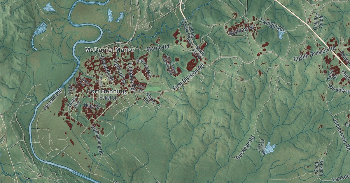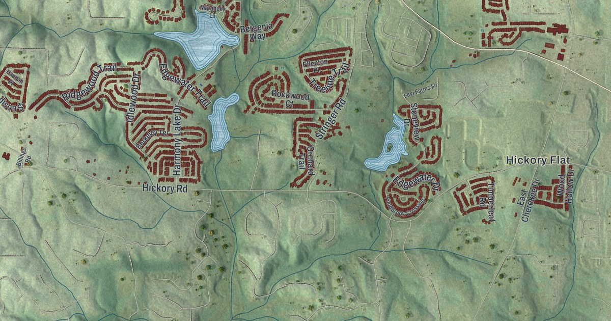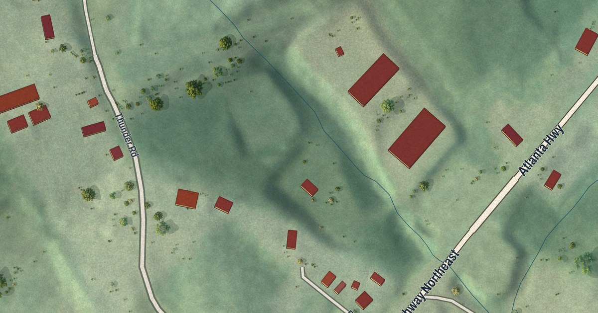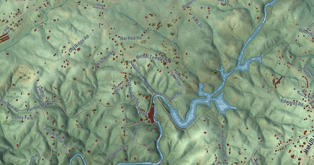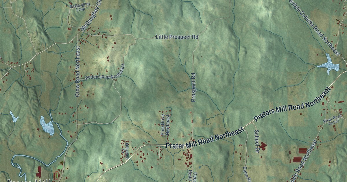
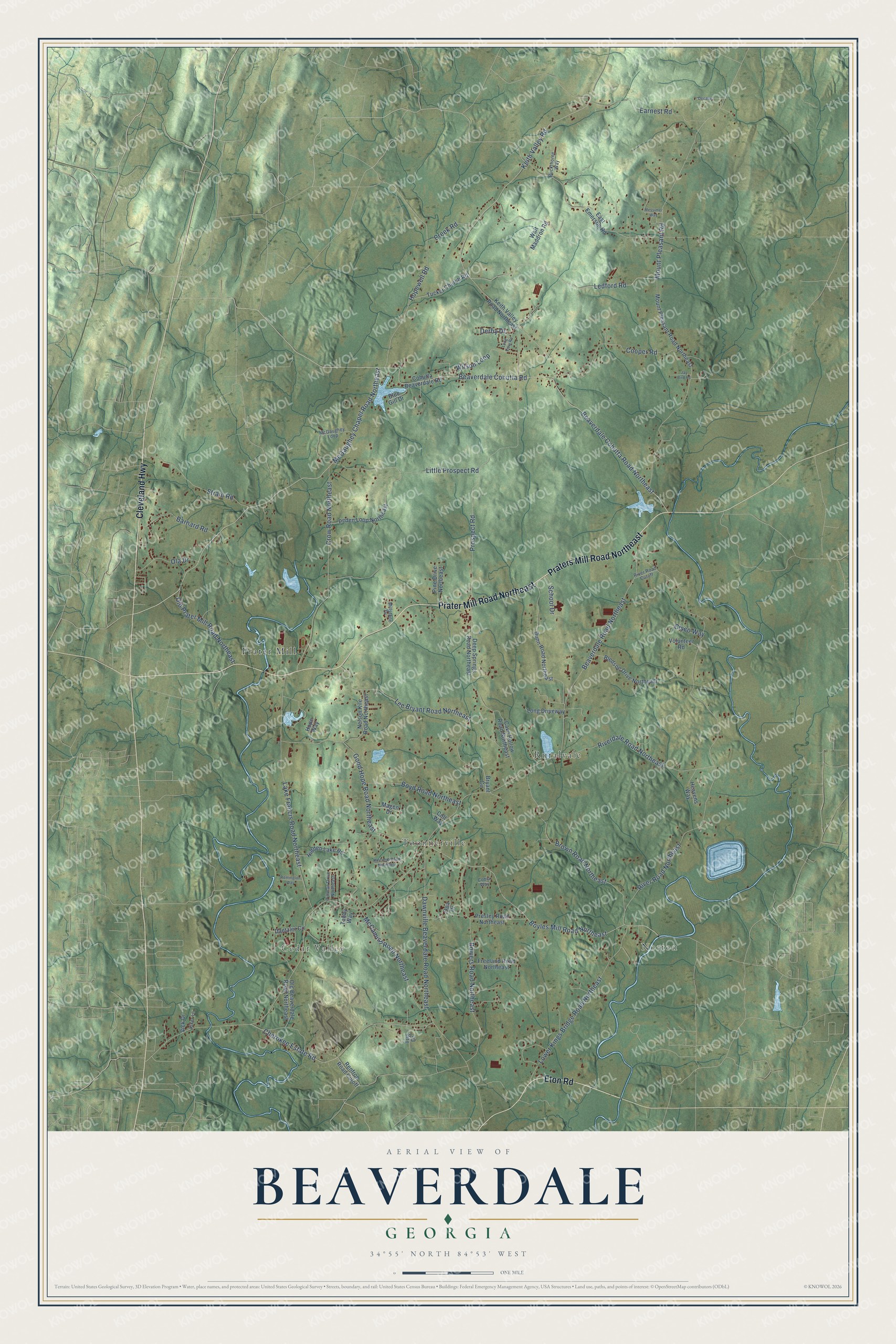
This beautifully detailed map of Beaverdale, Georgia was created in 2026 using aerial imagery combined with modern topographical, census, street and landmark data. It’s a one-of-a-kind view of Beaverdale that combines accurate data with a vintage aesthetic. The map shows every building in its true location, many of the roads carry their names, and the shaded topographic relief shows the shape of the land.
Explore an aerial view of Beaverdale, Georgia
On the map you’ll find Norton, Cedar Valley, Prater Mill, Ruralvale, and Toonnerville, along with Prater Mill Road Northeast, Praters Mill Road Northeast, Cleveland Highway, Eton Road, McGaughey Chapel Road Northeast, Ledford Road, Keith Valley Road, and more. If you look closely you can even find your house accurately drawn in its correct location. Zoom in on the preview to look for yours.
Take a closer look at the Beaverdale map
Names on this map
These names are printed on this map.
Places: Norton, Cedar Valley, Prater Mill, Ruralvale and Toonnerville.
Streets and roads: Prater Mill Road Northeast, Praters Mill Road Northeast, Cleveland Highway, Eton Road, McGaughey Chapel Road Northeast, Ledford Road, Keith Valley Road, Boyles Mill Road Northeast, Mount Pleasant Road, Beaverdale Road Northeast, River Road Northeast, Beaverdale Cohutta Road.
More street names, A to Z
Barnard Road, Beaverdale Cohutta Road Northeast, Bledsoe Drive Northeast, Blue Gill Drive, Bowers Road Northeast, Boyd Road Northeast, Brown Road Northeast, Bryant Circle, Buckthorne Way, Cave Hollow Road Northeast, Cherokee Estate Road, Cisco Way, Cobia Way, Cohutta Beaverdale Road, Colt Way, Cooper Road, Creek Road, Crow Road Northeast, Dantzler Circle, Dawnville Beaverdale Road Northeast, Decatur, Deep Springs Road Northeast, Derby Drive, Dunn Road Northeast, Earnest Road, East Emerson Road, Freeland Road Northeast, Good Hope Road Northeast, Heavens Way, Hidden Lake Road, Holcomb Road Northeast, Hope Way, Hopewell Road, Jay Bird Road, Keith Valley Road Northeast, Kiker Lane, Lake Francis Road Northeast, Lee Bryant Road Northeast, Little Prospect Road, Long Driveway, Long View Road, Lower Kings Bridge Road Northeast, Magen Drive, McCamish Road Northeast, McGaughey Loop, Messimer Way, Millstone Drive, Mount Pleasant Road Northeast, Nelson Kile Road Northeast, Ola Drive, Old Beaverdale Road Northeast, Old Prater Mill Road Northeast, Opa Drive, Peden Loop Northeast, Pine Drive Northeast, Presley Road Northeast, Prospect Road, Remington Way, Renfroe Road Cutoff, Riverdale Road Northeast, River Road Cutoff, School Drive, Strain Road, Tabby Way, Tillman Drive Northeast, Tucker Church Road, Tug Drive, Vick Drive, Volunteer Road, Walt Maddron Road, Wilson Loop.
See it on a wall
The Beaverdale map as a framed print. Swipe for more.


This beautifully detailed map of Beaverdale makes an attractive addition to your office, library, or den, and it can even be used to teach children the geography and history of the area. It also makes a great gift for anyone who grew up in Beaverdale or moved away. When you’re done exploring, click here to get your copy of the Beaverdale map.