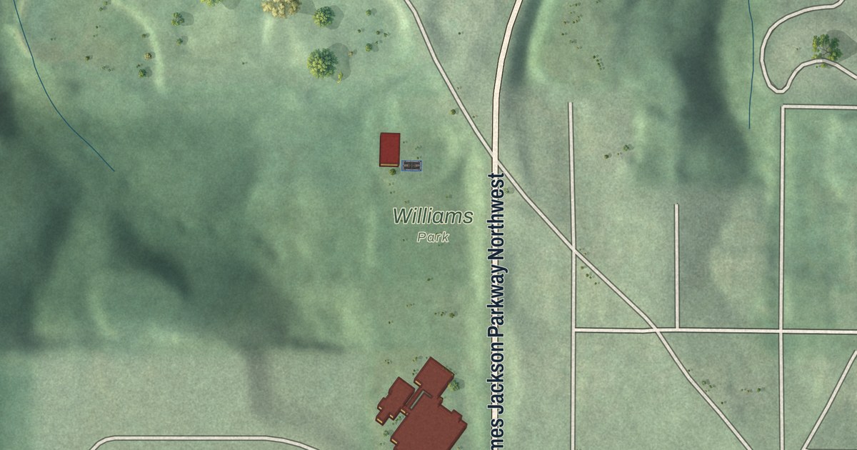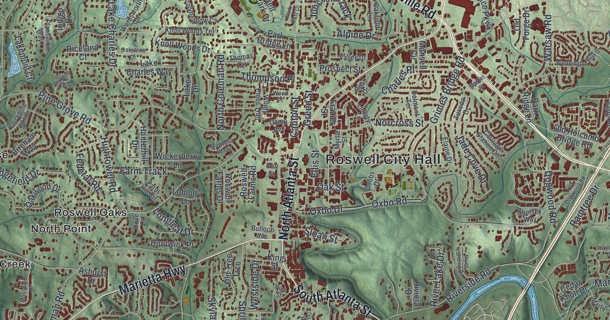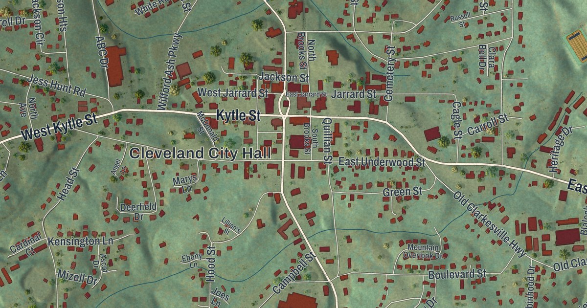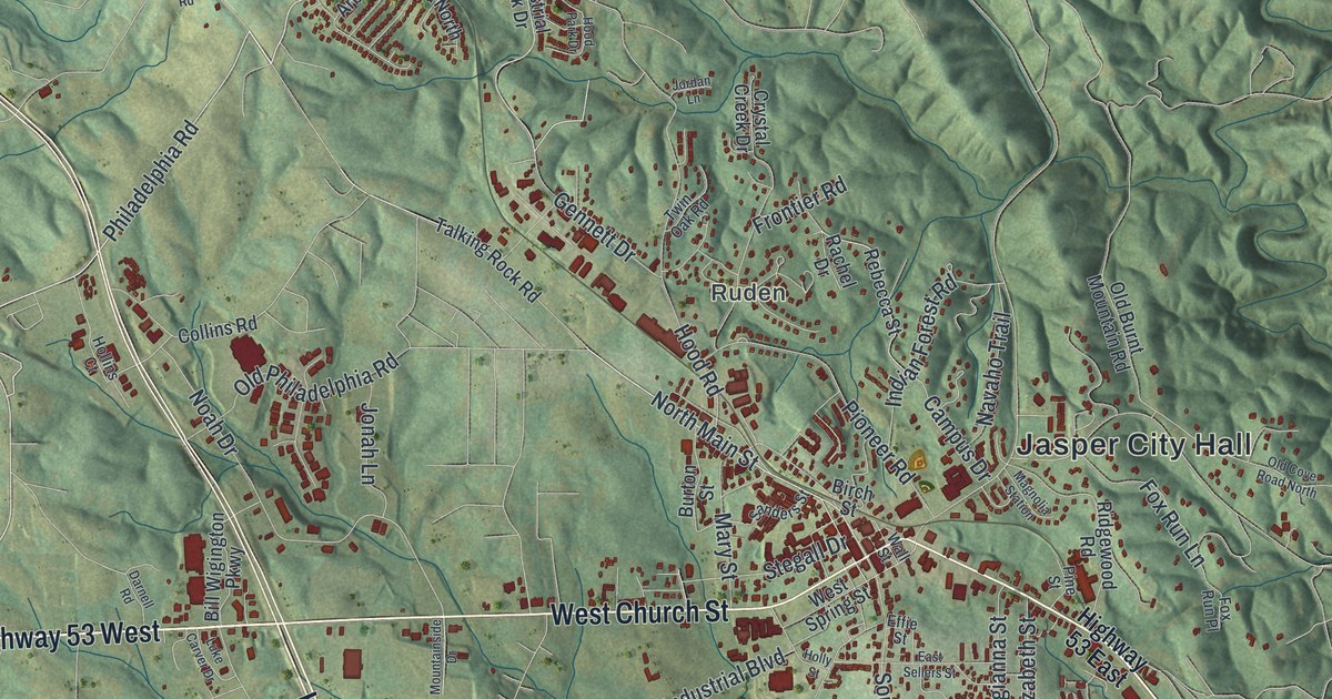
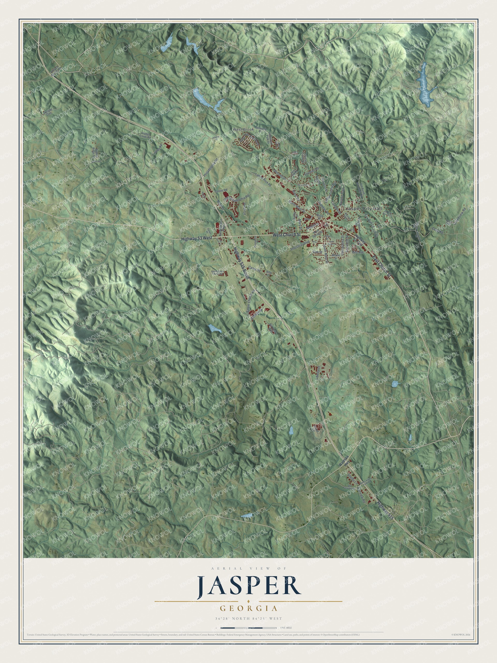
This beautifully detailed map of Jasper, Georgia was created in 2026 using aerial imagery combined with modern topographical, census, street and landmark data. It’s a one-of-a-kind view of Jasper that combines accurate data with a vintage aesthetic. The map shows every building in its true location, many of the roads carry their names, and the shaded topographic relief shows the shape of the land.
Explore an aerial view of Jasper, Georgia
On the map you’ll find Jasper City Hall, Ruden, and West Brook, along with Church Street, Waleska Highway, Philadelphia Road, Main Street, and more. If you look closely you can even find your house accurately drawn in its correct location. Zoom in on the preview to look for yours.
Did You Know?
Jasper was founded in 1853 to serve as the seat of the new Pickens County. It took its name from William Jasper, a hero of the Revolutionary War. It became a town in 1857 and a city in 1957.
Take a closer look at the Jasper map
Names on this map
These names are printed on this map.
Places: Jasper City Hall, Ruden and West Brook.
Streets and roads: West Church Street, East Church Street, Highway 515, Highway 515 South, Highway 53 West, Philadelphia Road, North Main Street, Cove Road, Hood Road, Gennett Drive, Noah Drive, Pioneer Road.
More street names, A to Z
Amy Lane, Antioch Church Road, Arbor Hills Road North, Bell Avenue, Bill Hasty Boulevard, Bill Wigington Parkway, Birch Street, Burton Street, Camp Road, Campus Drive, Collins Road, Crystal Creek Drive, Darnell Road, East Sellers Street, Effie Street, Elizabeth Street, Fairview Road, Fox Run Lane, Fox Run Place, Frontier Road, Gennette Drive, Georgianna Street, Grand Circle, Grandview Road, Green Valley Farm Road, Hidden Creek Road, Highway 53 East, Hobson Road, Hollins Court, Holly Street, Hood Park Drive, Indian Forest Road, Industrial Boulevard, Industrial Park Drive, Jl White Drive, Johnson Road, Jonah Lane, Jones Road, Jordan Lane, Lawnview Road, Liberty Lane, Luke Carver Drive, Magnolia Station, Mary Street, Moore Street, Mountainside Drive, Navaho Trail, Oak Street, Old Burnt Mountain Road, Old Cove Road North, Old Fairview Road, Old Philadelphia Road, Pine Street, Rachel Drive, Rebecca Street, Reece Ridge, Ridgewood Road, Salem Church Road, Sanders Street, Shelby Lane, Skyland Glen, South Main Street, Stegall Drive, Stone Road, Talking Rock Road, Twin Oak Road, Upper Salem Church Road, Waleska Highway, Wall Street, West Spring Street, Wildlife Ridge Road.
See it on a wall
The Jasper map as a framed print. Swipe for more.


This beautifully detailed map of Jasper makes an attractive addition to your office, library, or den, and it can even be used to teach children the geography and history of the area. It also makes a great gift for anyone who grew up in Jasper or moved away. When you’re done exploring, click here to get your copy of the Jasper map.