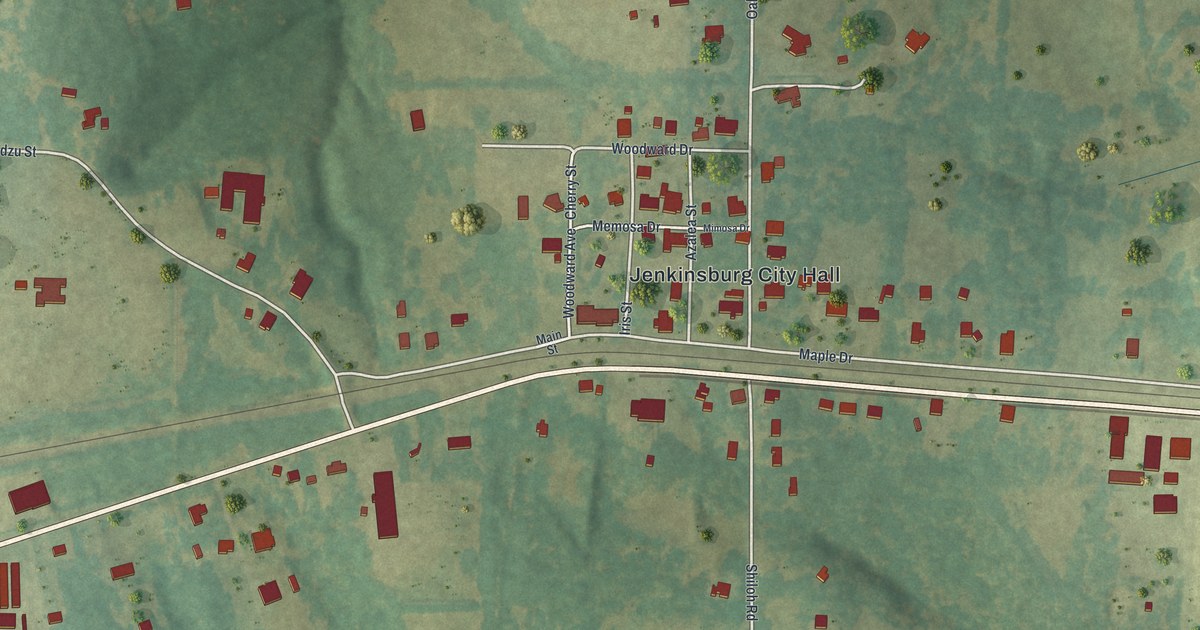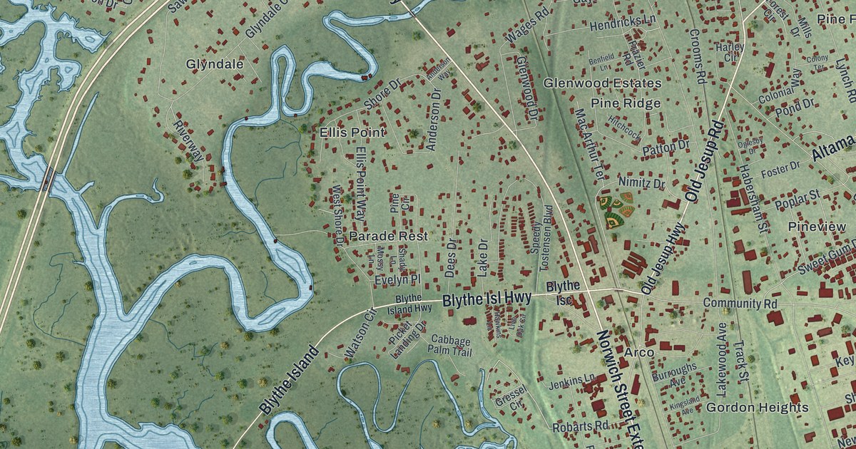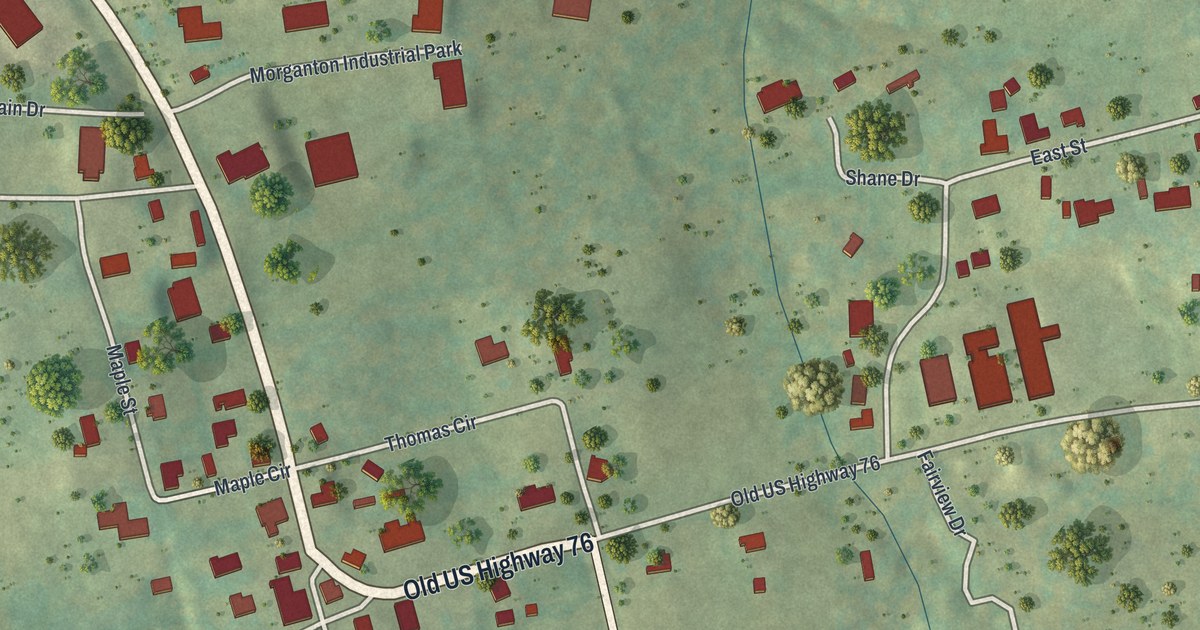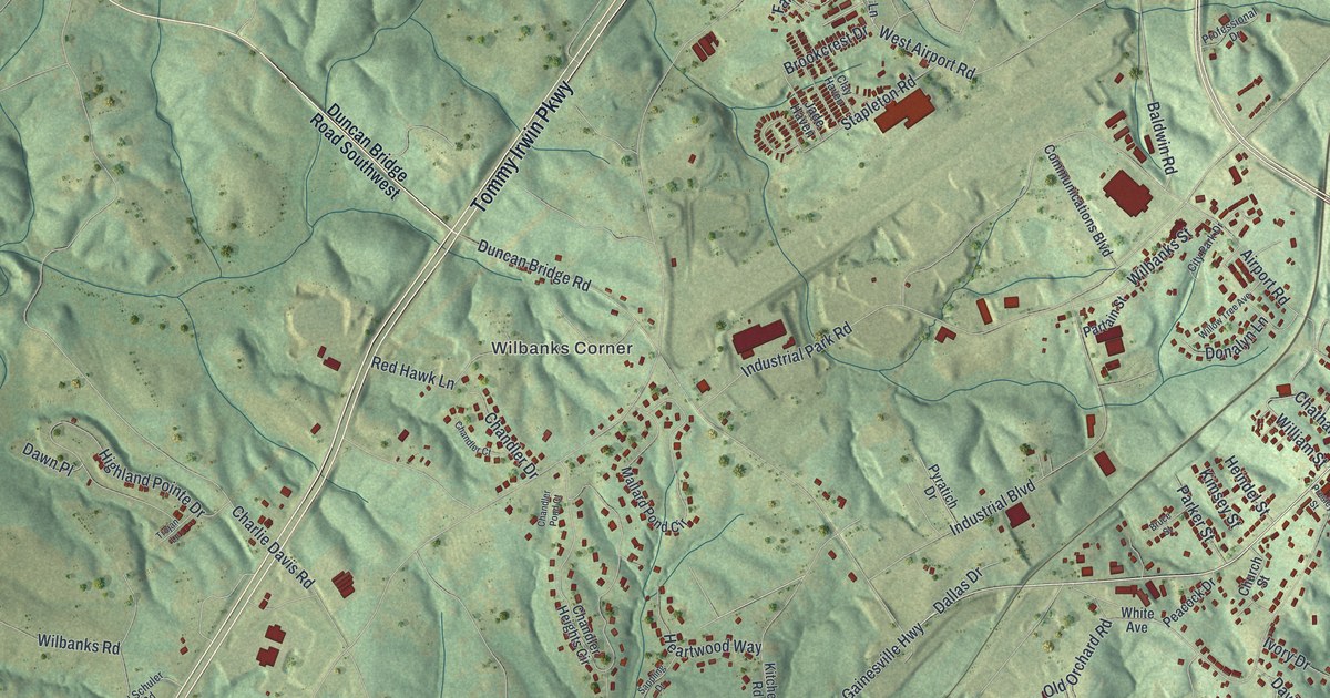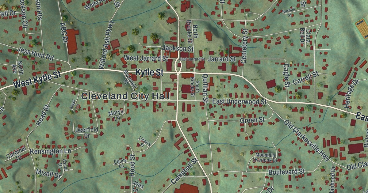
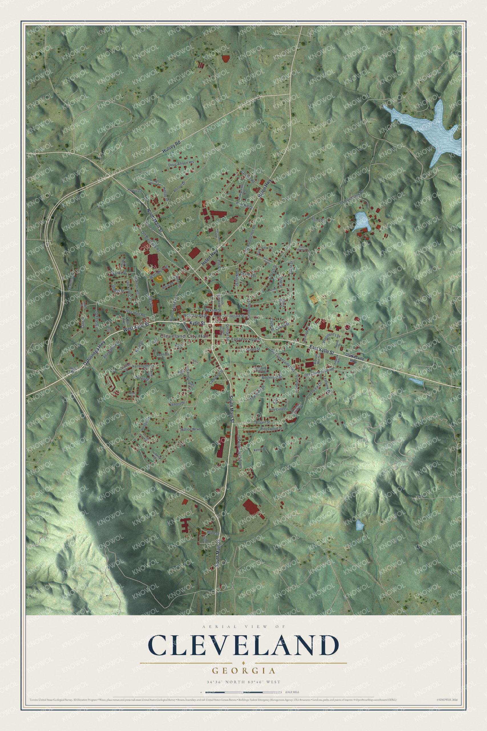
This beautifully detailed map of Cleveland, Georgia was created in 2026 using aerial imagery combined with modern topographical, census, street and landmark data. It’s a one-of-a-kind view of Cleveland that combines accurate data with a vintage aesthetic. The map shows every building in its true location, many of the roads carry their names, and the shaded topographic relief shows the shape of the land.
Explore an aerial view of Cleveland, Georgia
On the map you’ll find Cleveland City Hall, along with Main Street, Kytle Street, Dahlonega Highway, Helen Highway, and more. If you look closely you can even find your house accurately drawn in its correct location. Zoom in on the preview to look for yours.
Did You Know?
Settlers arrived in 1806, and the place was first called New Prospect. It became the seat of the new White County in 1857. In 1883 it was renamed for General Benjamin Cleveland, a War of 1812 figure. He was the grandson of Colonel Benjamin Cleveland, who fought in the Revolutionary War.
Take a closer look at the Cleveland map
Names on this map
These names are printed on this map.
Places: Cleveland City Hall.
Streets and roads: South Main Street, Kytle Street, Dahlonega Highway, North Main Street, East Kytle Street, West Kytle Street, Helen Highway, Hulsey Road, Old Blairsville Road, Church Street, Old Blue Creek Road, Campbell Street.
More street names, A to Z
ABC Drive, Abernathy Lane, Allison Drive, Alumni Drive, Angel Lane, Appalachian Trail Drive, Ascot Drive, Ash Street, Bertha Court, Blalock Mill Drive, Bonita Drive, Boulevard Street, Bryant Street, Cagle Street, Cantrell Road, Cardinal Court, Carroll Street, Cemetery Street, Charles Drive, Clara Bell Drive, Clarkesville Highway, Clint Street, Crest Lane, Davidson Street, Deerfield Drive, Dixon Drive, Doug Allison Heights, East Jarrard Street, East Underwood Street, Ebony Lane, Edwards Way, Faulkner Street, Green Street, Greenview Court, Head Lane, Head Street, Helton Road, Heritage Drive, Hilltop Street, Honeycomb Terrace, Hood Street, Hope Drive, Hunt Road, Jackson Circle, Jackson Heights, Jackson Street, Jarrard Street, Jess Hunt Road, Joes Lane, Keene Drive, Kenimer Street, Kensington Lane, Leafview Drive, Lenora Drive, Liberty Lane, Lillian's Street, Marys Lane, McDonald Street, Mc Intyre Road, Mizell Drive, Mountain Overlook Drive, North Avenue, North Brooks Street, Old Clarkesville Highway, Old Clarkesville Road, Old Highway 75 South, Old Nacoochee Road, Pardue Circle, Park View Drive, Pine Crest Circle, Pine Hill Drive, Pine Street, President's Drive, Quillian Street, Ridgewood Drive, Robinhood Drive, Russell Street, Seaborn Drive, Sherrell Drive, South Brooks Street, Spring Street, Stacey Drive, Station Wrwh, Stoney Creek Lane, Todd Street, Townview Drive, Wanda Street, Warriors Path, West Jarrard Street, Whitehall Commons Lane, White Road, White Street, Wilford Ash Parkway, Woodman Hall Road, Yonah Springs Drive.
See it on a wall
The Cleveland map as a framed print. Swipe for more.


This beautifully detailed map of Cleveland makes an attractive addition to your office, library, or den, and it can even be used to teach children the geography and history of the area. It also makes a great gift for someone who left Cleveland and still calls it home. When you’re done exploring, click here to get your copy of the Cleveland map.